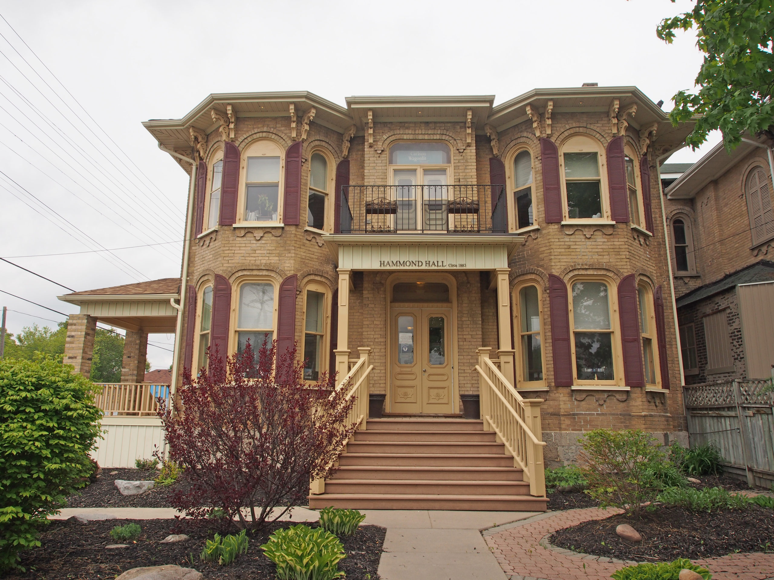
Peterborough, Ontario – My Top 7 Picks
Peterborough is a city on the Otonabee River in central Ontario, 125 kilometers (78 miles) northeast of Toronto. Peterborough’s nickname of “The Electric City” underscores the historical and present day importance of technology and manufacturing as an economic base of the city which has operations from large multi-national companies such as Seimans, Rolls Royce, and General Electric. Peterborough is known as the gateway to the Kawarthas, “cottage country”, a large recreational region of the province. In 1818, Adam Scott settled on the west shore of the Otonabee River and the following year he began construction of a sawmill and gristmill, establishing the area as Scott’s Plains. The mill was located at the foot of present-day King Street and was powered by water from Jackson Creek.
The year 1825 marked the arrival of 1,878 Irish immigrants from the city of Cork, a British Parliament experimental emigration plan to transport poor Irish families to Upper Canada. The scheme was managed by Peter Robinson, a politician in York (present-day Toronto). Scott’s Plains was renamed Peterborough in his honor. The Irish emigrated from the Emerald Isle to escape over-crowding, poverty, political unrest, religious tensions, disease and the potato famine. By 1851 almost half of the town of Peterborough claimed Irish ancestry. They cleared the land in the rolling hills of the Peterborough countryside.
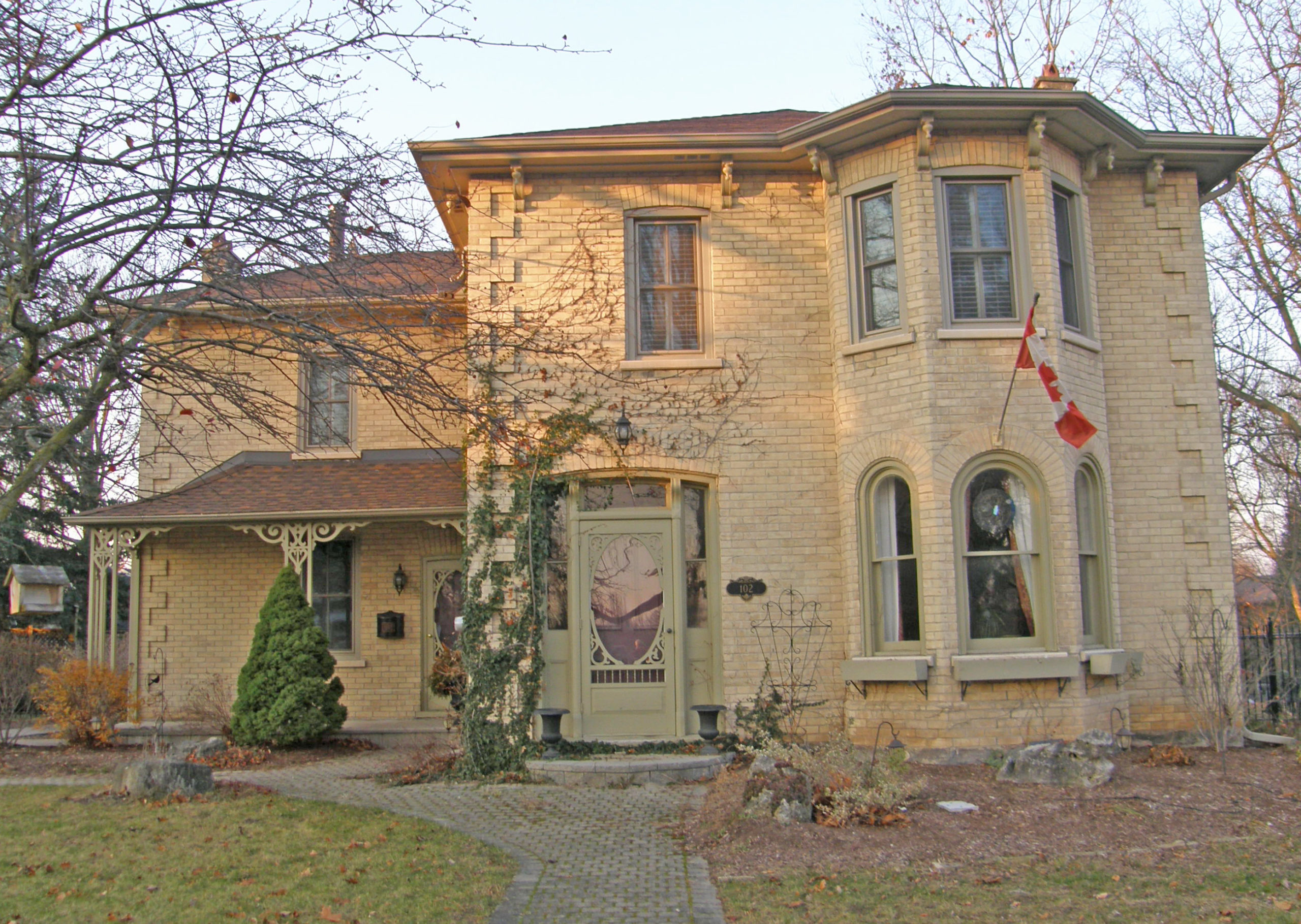
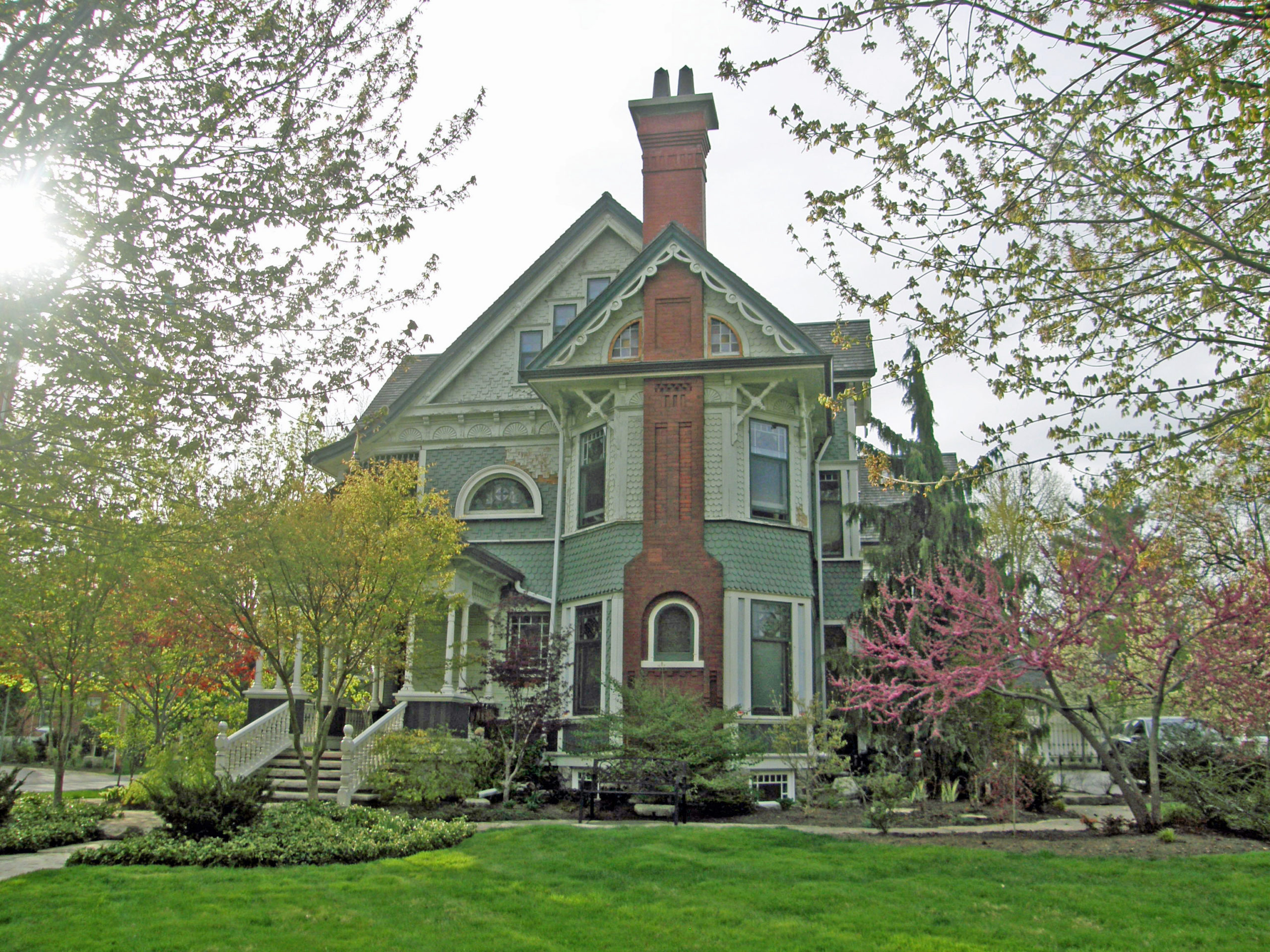
In 1845, Sandford Fleming, inventor of Standard Time and designer of Canada’s first postage stamp, moved to the city to live with Dr. John Hutchison and his family, staying until 1847. Dr. John Hutchison was one of Peterborough’s first resident doctors.