January, 2019:

St. Catharines, Ontario – Book 3 in Colour Photos – My Top 9 Picks

St. Catharines is the largest city in Canada’s Niagara Region in Southern Ontario. It is 51 kilometers (32 miles) south of Toronto across Lake Ontario, and is 19 kilometers (12 miles) inland from the international boundary with the United States along the Niagara River. It is the northern entrance of the Welland Canal.

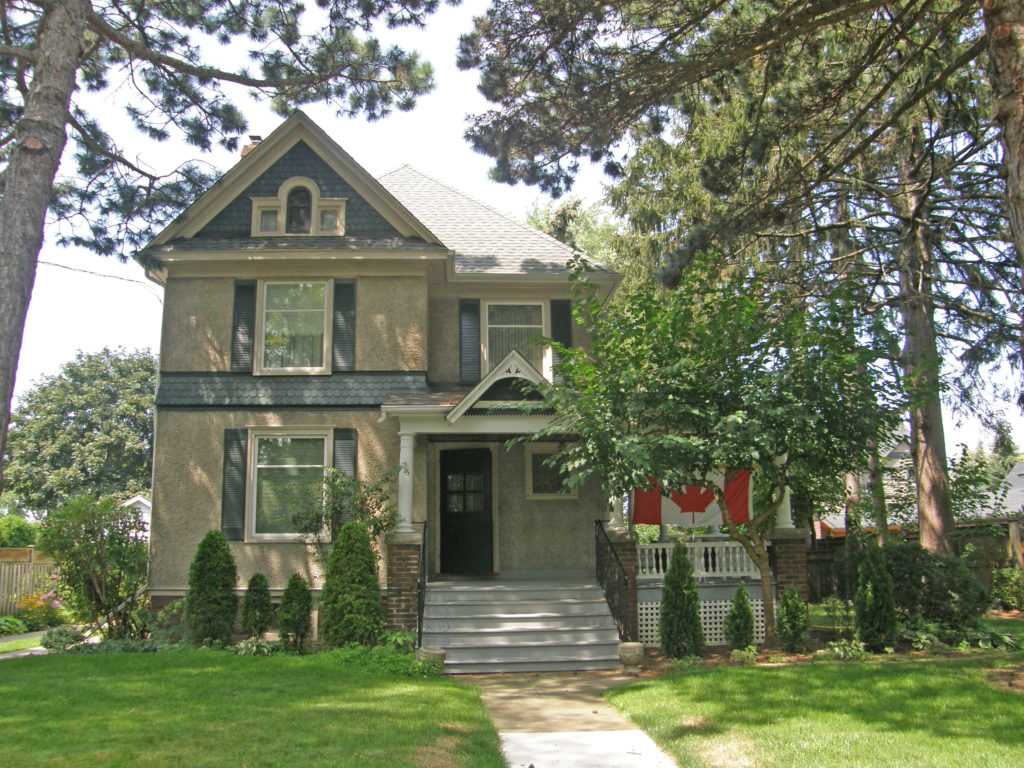
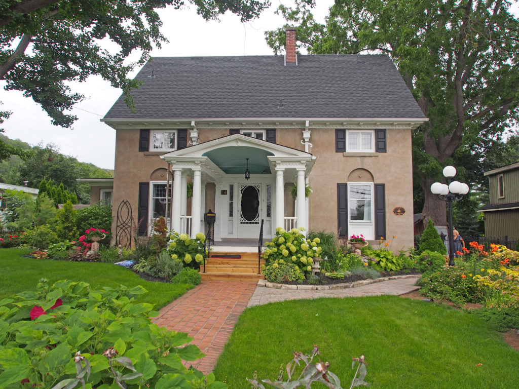
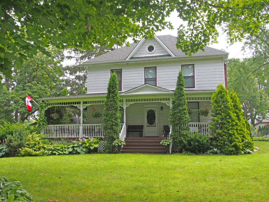
St. Catharines carries the official nickname “The Garden City” due to its 1,000 acres of parks, gardens and trails.

The city was first settled by Loyalists in the 1780s. The Crown granted them land in compensation for their services and for losses in the United States. Early histories credit Sergeant Jacob Dittrick and Private John Hainer, formerly of Butler’s Rangers, as among the first to come to the area. They took their Crown Patents where Dick’s Creek and 12 Mile Creek merge, now the city center of St. Catharines.

Secondary to water routes, native trails provided transportation networks, resulting in the present-day radial road pattern from the City center.

After the Butler’s Rangers disbanded in 1784 and settled the area, Duncan Murray as a former Quartermaster was appointed by the Crown to distribute free Government supplies (victuals) for two years to the resettled Loyalists. He did this from his mill, built on the 12 Mile Creek in Power Glen. After his death in 1786, his holdings went to merchant Robert Hamilton of Queenston. Hamilton became land wealthy, expropriating lands from subsistence Loyalist settlers who were incapable of settling their debts. Hamilton’s major profits were derived from transhipping supplies for the military and civic establishments from his Queenston enterprise. He sold his business to Jesse Thompson before the turn of the 18th century.

The Merritt family arrived; they were among the later Loyalists to relocate following the American Revolution. In 1796, Thomas Merritt arrived to build on his relationship with his former Commander and Queen’s Ranger, John Graves Simcoe, now the Lieutenant Governor of Upper Canada.

An old Iroquois Trail was renamed St. Paul Street by the settlers by the mid-19th century. Several mills, salt works, retail outlets, a ship building yard, distillery and various other businesses were developed next.

Architectural Photos, St. Catharines, Ontario
15 Bayview Drive
Architectural Photos, St. Catharines, Ontario
22 Bayview Drive – arched entranceway with a pillared open balustrade balcony above; verge board trim and finials on gables; two storey turret, dormers
Architectural Photos, St. Catharines, Ontario
56 Bayview Drive – chipped gable, Tudor half-timbering
Architectural Photos, St. Catharines, Ontario
135 Bradley Street was built about 1849-1851 and was originally used as a semi-detached Lock tender’s House and was located adjacent to the second Welland Canal. It is a one-and-a-half storey dwelling built of local sandstone laid in random coursing with dressed limestone quoins at the corners. In the backyard of the property there used to be a quarry and some of the stone that was used on the Second Welland Canal was quarried here.
Architectural Photos, St. Catharines, Ontario
77 Bradley Street was constructed in 1851 and was a Lock tender’s House providing accommodations for men tending the locks of the Welland Canal. The semi-detached, one-and-a-half storey dwelling was built of sandstone cut from a quarry close to the house. It is accented with limestone corner quoins and stone lintels and sills. Lock tenders aided the navigation of ships through the Welland Canals.
Architectural Photos, St. Catharines, Ontario
51 Mountain Street – Jacob Ball, United Empire Loyalist – circa 1824 – The original stone portion of this house has a two-storey, five bay aspect facing the driveway. The main façade is of split face ashlar coursing with cut stone quoins. The sidewalls are of a more random coursing and all stone is local. All the windows have solid stone sills, some with solid stone lintels and others with a flat arch of the same local stone. The land on which the building is located was originally a Crown Grant to George Ball in 1796. The property was sold to the Public Works Department in 1843 and was then turned over to the Welland Canal Loan Company. During this period, the building was used as the home of the lockmaster, overseeing the work of seventeen lock tenders.
Architectural Photos, St. Catharines, Ontario
343 Merritt Street – The former Merritton Town Hall was constructed in 1879 by James MacDonald. The building is a rectangular structure made of local sandstone on the exterior. It is described as Victorian architecture with contrasting quoins, a string belt course, and radiating arch voussoirs over the windows and doors. The projecting bell tower has detailed stone work and an interesting shaped roof. The hip roof is trimmed with a boxed cornice with a frieze and brackets. The front double doors have a fan transom and are inset in the center of the bell tower. The building housed municipal offices, a community center, the mechanics institute, the waterworks commission, and the library. In 1888, the fire department was formed and moved into the building. Merritton Town Hall was the hub of the community where town members gathered for dances, concerts and movie showings.
Architectural Photos, St. Catharines, Ontario
159 Moffatt Street – The Phelps-Austin House is located in a prominent location overlooking the former second Welland Canal and the valley where the original owner, Noah Phelps, operated his sawmill. It is a two-storey frame house with a high cross-gabled roof. Each façade is arranged in a picturesque fashion.
Architectural Photos, St. Catharines, Ontario
124 Rolls Avenue – Saints Cyril and Methodius Ukrainian Catholic Church – The style is Byzantine Revival which is typified by domes, decorative brickwork and stone arches. The plan of the building is typical church cruciform with a main rectangular body (nave) crossed by a transept. There are six multi-sided domes on the roof. The elaborate detailing is characteristic of this style and features seven different colours and textures of brick and stone executed mainly as varying heights of bands around the building. The front elevation is a gable with towers and domes symmetrically placed on either side. The front entrance features a grand tiled staircase with decorative pre-cast concrete piers and painted iron railings. The glass doors and semi-circular transom above are trimmed with stone. The windows are semi-circular and trimmed with brick or stone.

St. Catharines, Ontario – Book 2 in Colour Photos – My Top 7 Picks

At the time of European colonization, the British Crown appropriated the land from the Neutral Indians, and transferred title of the area to Captain Peter Tenbroeck, a United Empire Loyalist officer in Butler’s Rangers, as part of an 800 acre land grant. Tenbroeck and other settlers established farms along the Twelve Mile Creek. Within a few years, ships began to ply the waters of Lake Ontario, but only small craft could navigate to the fledgling mills and hamlet of Shipman’s Corners, later St. Catharines.

The northern entrance to the Welland Canal was at Port Dalhousie. Industries and services to meet the needs of the growing settlement were established. In 1837, a Scottish boat builder called Robert Abbey started a shipyard at Port Dalhousie, building yawls, sailing yachts and eventually steam yachts.

Confederation in 1867 was a major factor in the building of the Third Welland Canal. A new and enlarged waterway was needed for the larger steamers on the Great Lakes. By 1890 almost 300,000 tons of cargo were shipped along the canal each year, primarily wheat, corn, coal and forest products. By 1914, this had increased to almost four million tons. Further canal enlargements were demanded and a new Welland Ship Canal was completed in 1930 which bypassed Port Dalhousie.

Architectural Photos, St. Catharines, Ontario
106 Dalhousie Avenue – dormers
Architectural Photos, St. Catharines, Ontario
88 Dalhousie Avenue – second floor balcony on side
Architectural Photos, St. Catharines, Ontario
82 Dalhousie Avenue – dormer, corner quoins, bay window
Architectural Photos, St. Catharines, Ontario
76 Dalhousie Avenue – Palladian window in gable
Architectural Photos, St. Catharines, Ontario
52 Dalhousie Avenue – Neo-Classical – two storeys, symmetrical façade, second floor semi-circular balcony above pillared porch
Architectural Photos, St. Catharines, Ontario
Dalhousie Avenue – sidelights and transom windows, two-storey verandah with Doric pillars and open balustrade, dormers in roof
Architectural Photos, St. Catharines, Ontario
29 Dalhousie Avenue – Gothic Revival, verge board trim on gables, cornice brackets above bay windows

St. Catharines, Ontario – Book 1 in Colour Photos – My Top 9 Picks

The Port Dalhousie community is located on a small peninsula that separates Martindale Pond from Lake Ontario. The historical growth of this community around an elongated road grid pattern can be directly attributed to the development of the Welland canals, commerce, industry and Great Lakes shipping during the 19th century. By the end of the 20th century, Port Dalhousie began to be recognized as an area of rich cultural heritage.

The commercial core, located on Lakeport Road, Lock Street and Hogan´s Alley, is characterized by varying architectural styles from the 19th and early 20th centuries, ranging from red and buff brick to Italianate.

The residential area is comprised of dwellings once inhabited by sailors, canal workers, business people, lock tenders, farmers and many other individuals from an eclectic mix of social classes. Architectural styles include Gothic Revival, Colonial Revival, and Neo-classical among others.

Port Dalhousie was the terminus for the first three routes of the Welland Canal, built in 1820, 1845 and 1889. The city’s most popular beach, on the shore of Lake Ontario, is located in Port Dalhousie at Lakeside Park. The park is home to an antique carousel which was carved by Charles I. D. Looff in 1905 and brought to St. Catharines in 1921. It continues to provide amusement for young and old alike, at just 5 cents a ride. Port Dalhousie is named for George Ramsay, 9th Earl of Dalhousie, Governor General of British North America from 1820-1828.

At the time of European colonization, the British Crown appropriated the land from the Neutral Indians, and transferred title of the area to Captain Peter Tenbroeck, a United Empire Loyalist officer in Butler’s Rangers, as part of an 800 acre land grant. Tenbroeck and other settlers established farms along the Twelve Mile Creek. Within a few years, ships began to ply the waters of Lake Ontario, but only small craft could navigate to the fledgling mills and hamlet of Shipman’s Corners, later St. Catharines.

The northern entrance to the Welland Canal was at Port Dalhousie. Industries and services to meet the needs of the growing settlement were established. In 1837, a Scottish boat builder called Robert Abbey started a shipyard at Port Dalhousie, building yawls, sailing yachts and eventually steam yachts.

Confederation in 1867 was a major factor in the building of the Third Welland Canal. A new and enlarged waterway was needed for the larger steamers on the Great Lakes. By 1890 almost 300,000 tons of cargo were shipped along the canal each year, primarily wheat, corn, coal and forest products. By 1914, this had increased to almost four million tons. Further canal enlargements were needed and a new Welland Ship Canal was completed in 1930 which bypassed Port Dalhousie.

Architectural Photos, St. Catharines, Ontario
34 Main Street
Architectural Photos, St. Catharines, Ontario
55 Main Street
Architectural Photos, St. Catharines, Ontario
58 Main Street
Architectural Photos, St. Catharines, Ontario
73 Main Street
Architectural Photos, St. Catharines, Ontario
109 Main Street – two storey, Italianate, hipped roof, keystones and voussoirs above windows and door
Architectural Photos, St. Catharines, Ontario
127 Main Street – pediment, Palladian window in gable
Architectural Photos, St. Catharines, Ontario
Main Street – Tudor timbering on stucco
Architectural Photos, St. Catharines, Ontario
206 Main Street – dormers
Architectural Photos, St. Catharines, Ontario
The factory at 63 Lakeport Road was built between 1899 and 1900 for the Maple Leaf Rubber Company. In 1955 A. Stewart Howes established Lincoln Fabrics Limited as a weaver of specialty fabrics. Stewart’s son David assumed leadership of the company from 1983 until his death in 2015. Both father and son were committed to a family oriented business employing a loyal and skilled workforce from the local community. Both were involved in the community.

Grimsby, Ontario – Book 2 in Colour Photos – My Top 7 Picks

Before written history, the Neutral Indians lived here. It was a perfect home with forests teeming with game, the lake providing fresh fish and transportation, and the fertile plain ideal for agriculture. The Neutrals were wiped out by their enemies by 1650.

In 1787, a group of United Empire Loyalists arrived from New Jersey. They named their little settlement The Forty after the creek which was believed to be forty miles from the mouth of the Niagara River.

John Graves Simcoe, an officer of the British army who served in the American War of Independence, became the first lieutenant-governor of Upper Canada (Ontario) from 1792-1796. The naming of the newly surveyed townships was part of his duty, and on a number of them he gave places names from Lincolnshire, England. One of these was Grimsby.

In the early days the many creeks on top of the Niagara Escarpment which flowed into Lake Ontario – each with a waterfall – were named according to their approximate distance from the Niagara River. There is the Twelve Mile creek, the Sixteen, the Twenty, the Forty, etc. It was along these creeks and stretching back from then on either side that the first settlers took up their land and built their log cabins, their saw mills and grist mills. This is how the Settlement at The Forty – later called Grimsby (from the name of the township) – began.

Less than twenty years after the arrival of the first settlers, the United States declared war on Britain and began by attacking Canada from three points – one of them was Niagara. In 1813, the Engagement at the Forty occurred on June 8, 1813. American forces, retreating after the Battle of Stoney creek, were bombarded by a British flotilla under Sir James Lucas Yeo. Indians and groups of the 4th and 5th Regiments Lincoln Militia joined in the attack and created such confusion in the enemy ranks that they abandoned this position and retreated to Fort George.

Architectural Photos, Grimsby, Ontario
14 Robinson Street South – Helen Gibson House – Local quarryman and builder, W.F. Gibson, built the first two cement block homes in Grimsby at 14 and 16 Robinson Street South in 1912. In 1921, Mr. Gibson completely rebuilt 14 Robinson Street South. The building was reconstructed in the classical Georgian style with its long sharply pitched roof, internal chimney, symmetrical facade and centre hall layout. Plaster and stucco were then applied to the cement block. Dominating the front entrance is a Neo-Classical vaultro portico.
Architectural Photos, Grimsby, Ontario
23 Mountain Street – This home was built in 1855 by John H. Grout, son of Reverend George Grout the rector of St. Andrew’s Church. John became an important citizen, and entrepreneur who established the Grout Agricultural Works which manufactured reapers and mowers, the most modern farm machinery. He became a Reeve in 1876 when Grimsby became a town. Note the fine detail over the windows of the house and the stained glass windows framing the door.
Architectural Photos, Grimsby, Ontario
The Gibson house at 114 Gibson Avenue was built circa 1860 by Robert Lillie Gibson using red variegated free stone from his quarries on the escarpment above. He came to Grimsby in search of good stone for quarrying. Robert and the men in this family were stonemasons from Scotland. He settled on the west above Grimsby and established a quarry there. He met and fell in love with Frances Thompson and they were married. Robert built the little house at 102 Gibson Avenue for his bride, but he began work on the lovely stone house by Forty Mile Creek. Robert’s quarry above the house was a success due to the building boom in public structures and railway bridges during that era. Rock was carried from the quarry to waiting ships by means of a little railway that ran from the base of the escarpment to the foot of Maple Avenue where a pier was built for this purpose. In 1870, Robert opened a second quarry in Beamsville. At that time, he brought his 21-year-old nephew, William from Scotland to act as bookkeeper. When Robert died in an unfortunate accident in 1882, William took over the operation of the quarries. In 1891, William ran successfully for Parliament, holding his seat until 1902. He was then appointed to the Senate. Senator Gibson School in Beamsville is named for him.
Architectural Photos, Grimsby, Ontario
25 Adelaide Street was constructed in 1911 as a result of an $8,000 grant from the Carnegie Corporation of New York whose purpose was to promote the advancement of knowledge. It served as Grimsby’s library until 2003. The three-part façade represents strength, wisdom and beauty. The portico is in the classic Greek design.
Architectural Photos, Grimsby, Ontario
18 Nelles Road North – William Boise Nelles built this house on his fruit farm in 1905. Around 1800, William Nelles built The Hermitage on land near Lake Ontario. When he died, the land was divided between his sons, Peter Ball Nelles and John Adolphus Nelles. Peter had the eastern portion of the land, which he called Chestnut Park. John Adolphus had the western part on which he built Lakelawn.
Architectural Photos, Grimsby, Ontario
376 Nelles Road North – Lakelawn, named for the grassy stretch between the house and lake, was built in 1846 by John Adolphus Nelles, son of William and nephew of Robert. The house remained in the family until the death of John’s great-granddaughter, Mary Burnham in 1986. John’s brother Peter Ball Nelles shared this property and built a lovely home called Stone Shanty. It was unfortunately razed when the Queen Elizabeth Highway was built.
Architectural Photos, Grimsby, Ontario
13 Fair Avenue – Edwardian style – second floor sleeping balcony