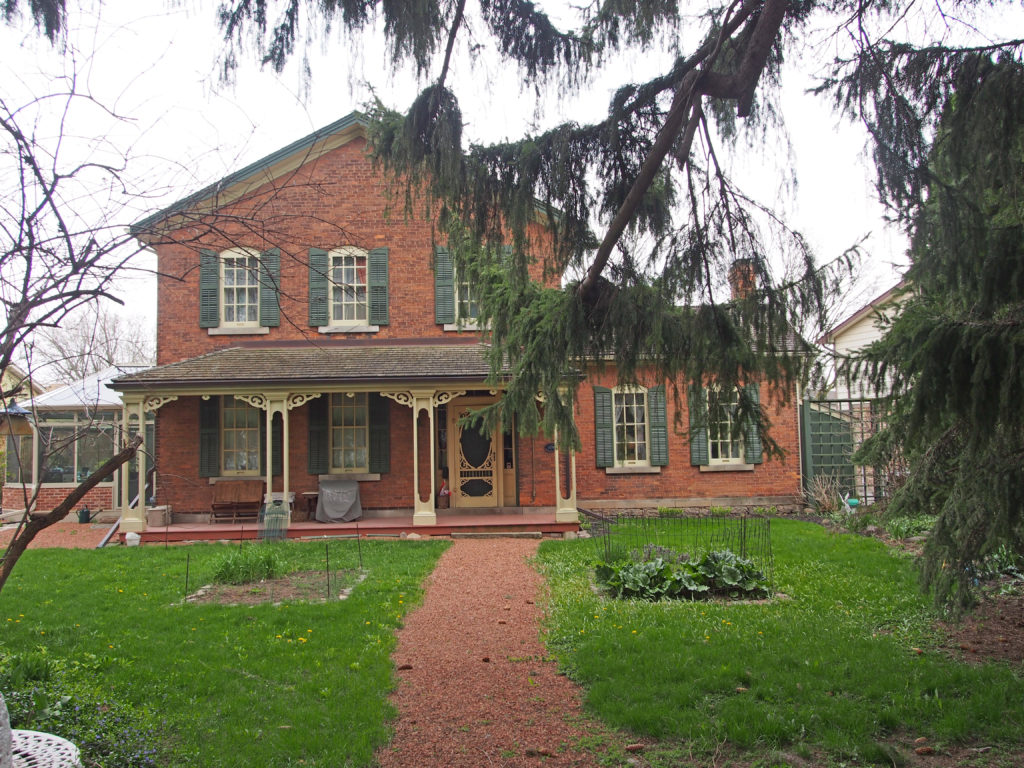
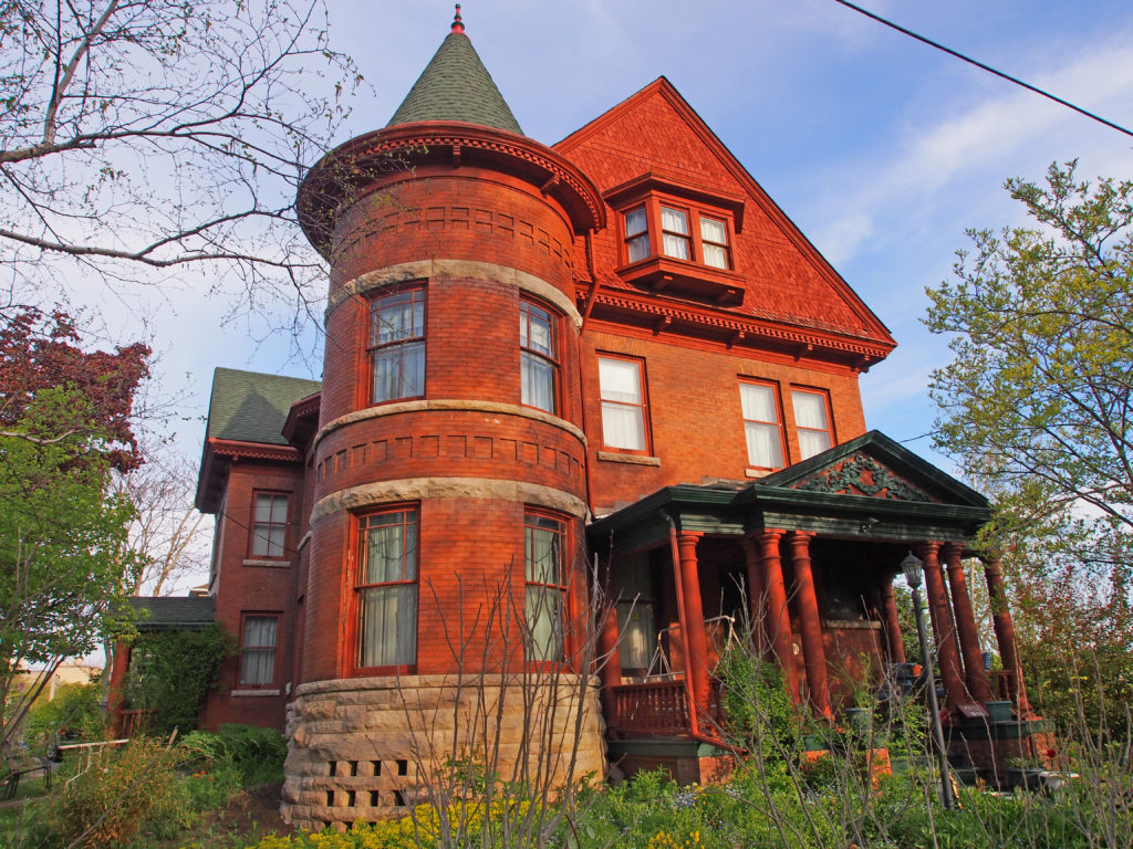
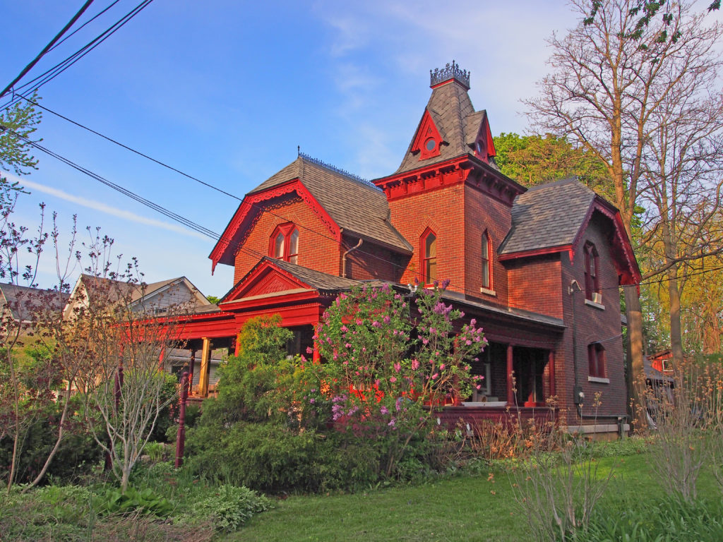
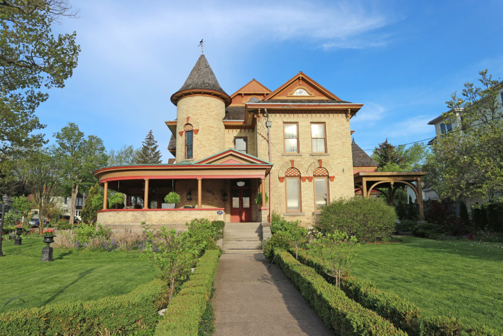
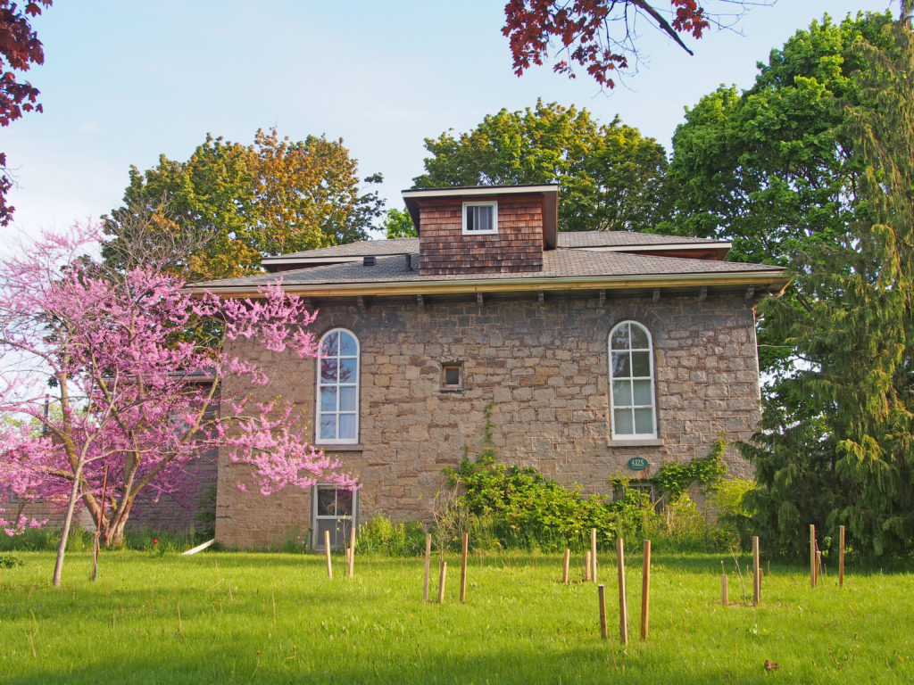
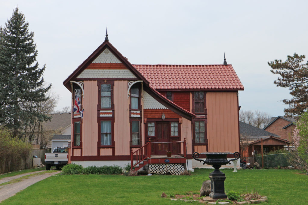
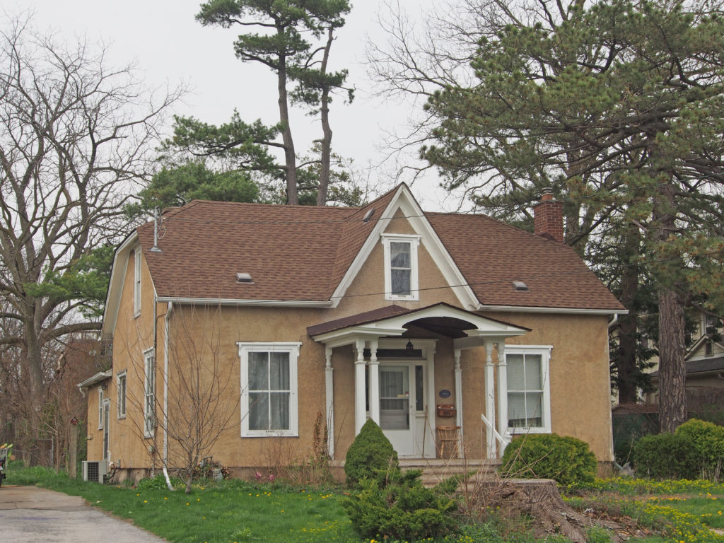
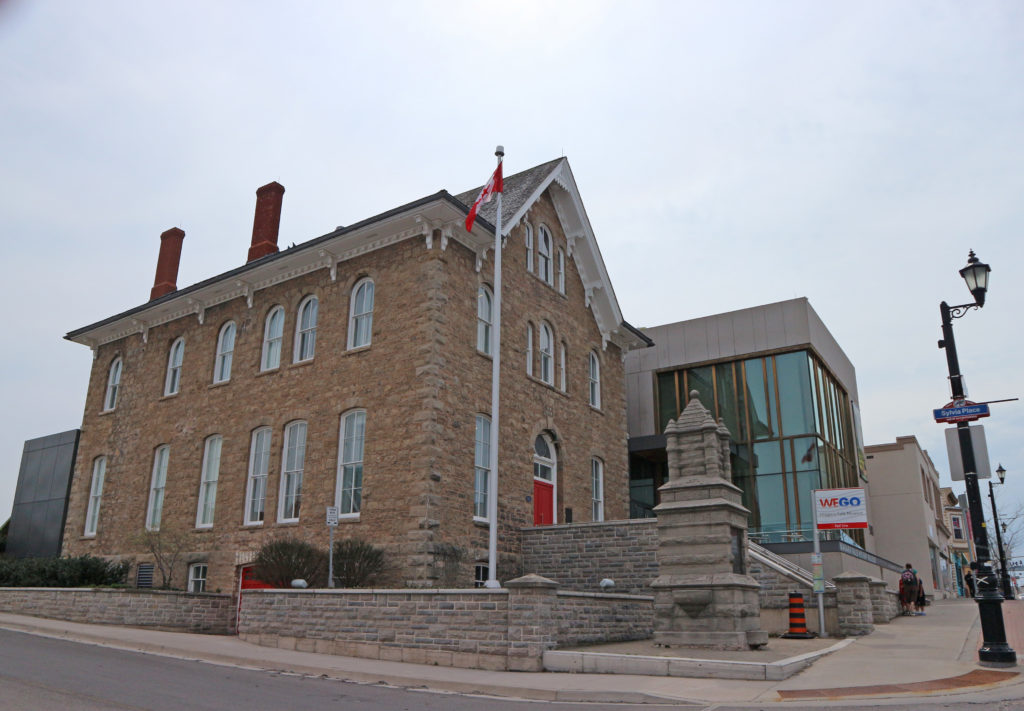
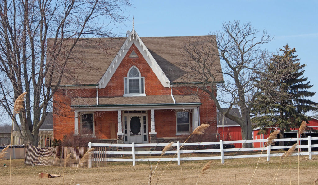
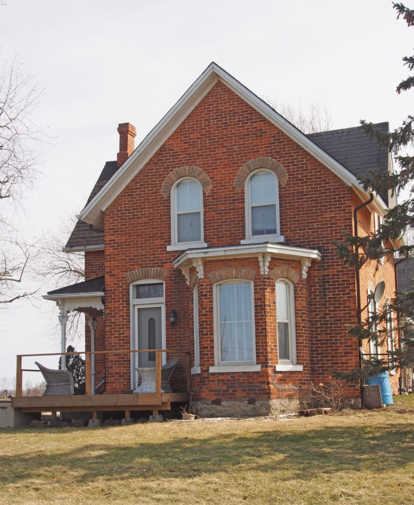
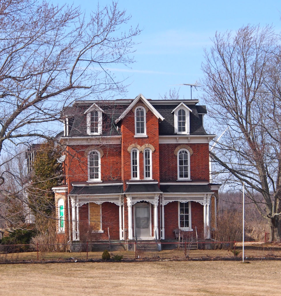
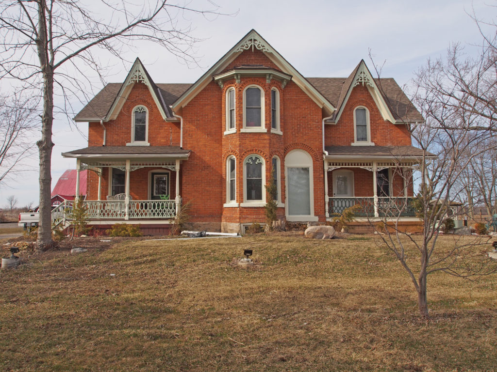
Fort Erie and Ridgeway, Ontario
Fort Erie is a town on the Niagara River in the Niagara Region of Ontario. It is across the river from Buffalo, New York and is the site of Old Fort Erie which played a prominent role in the War of 1812.
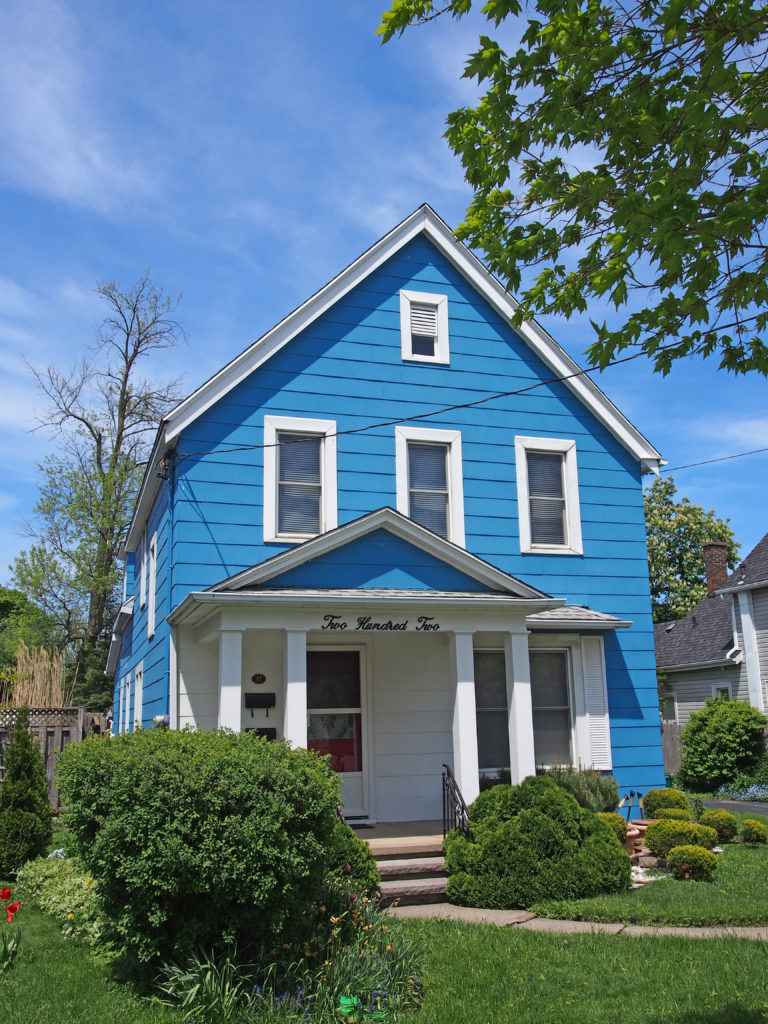
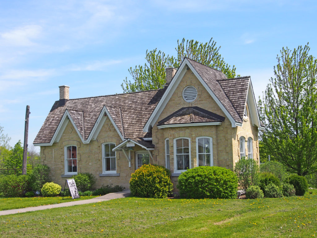
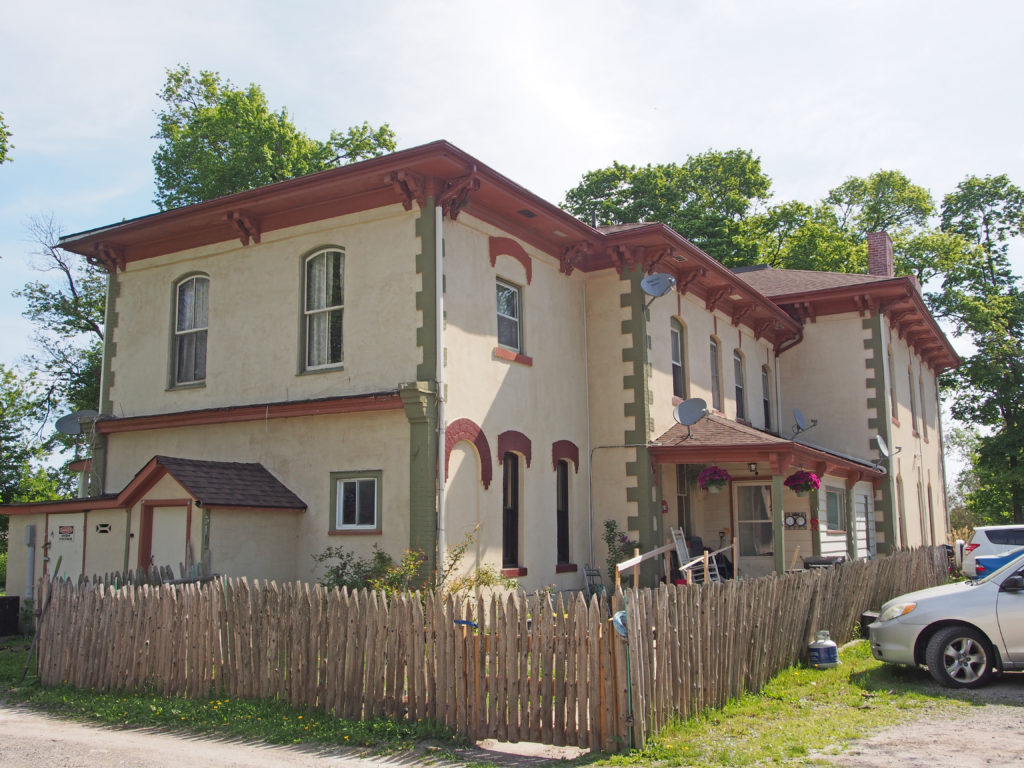
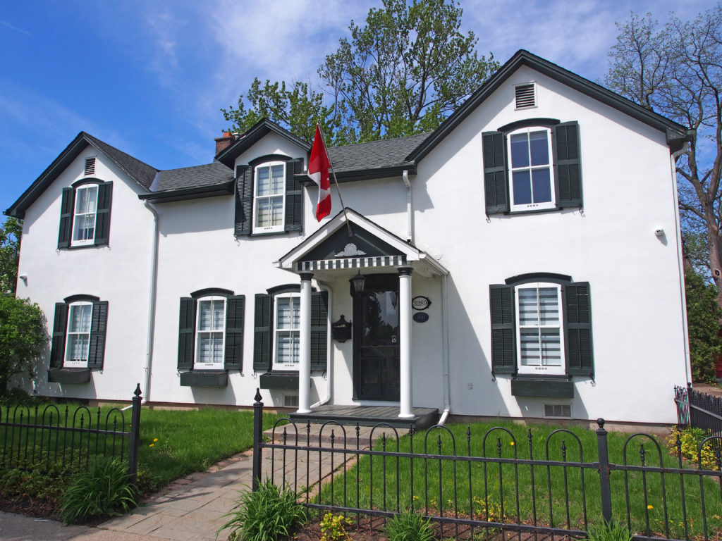
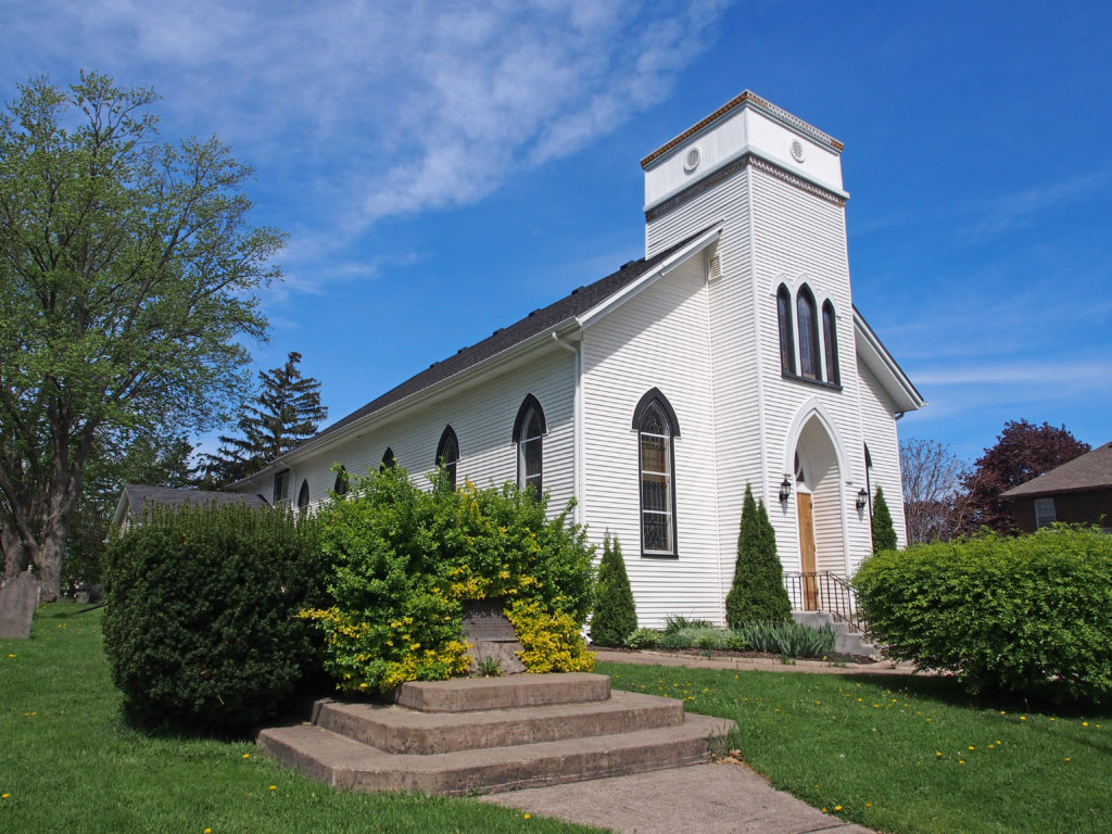
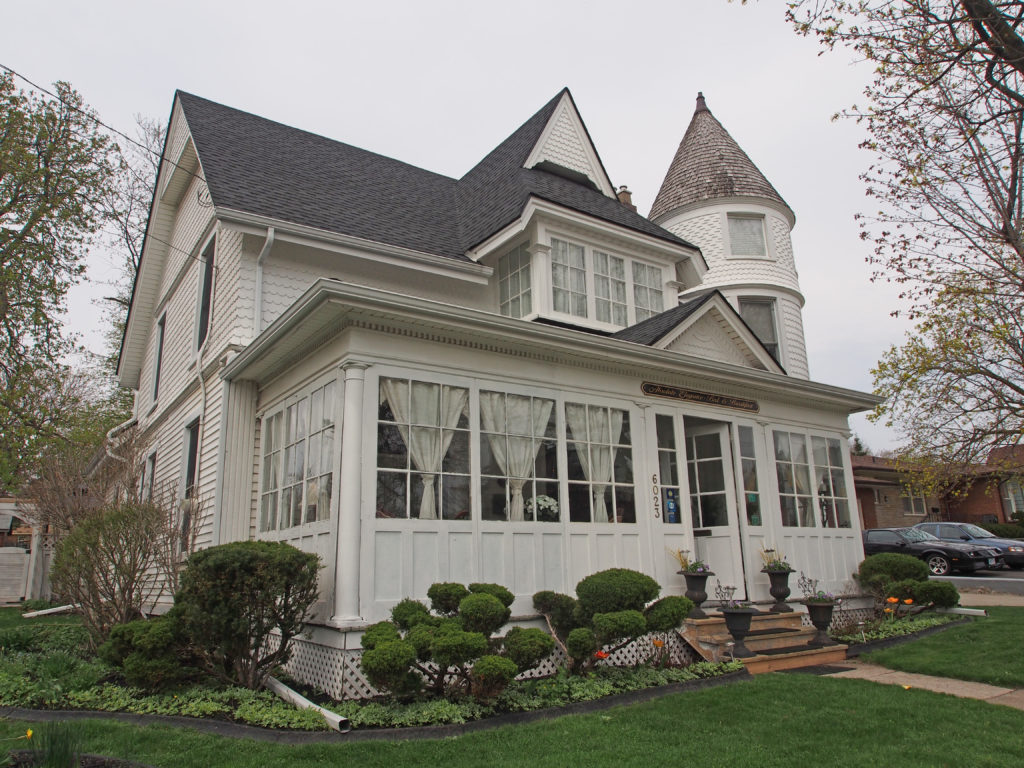
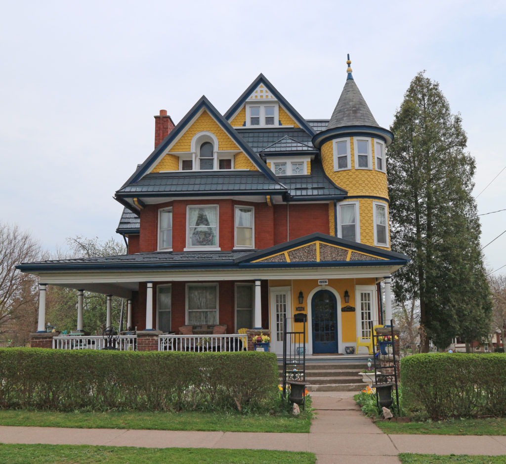
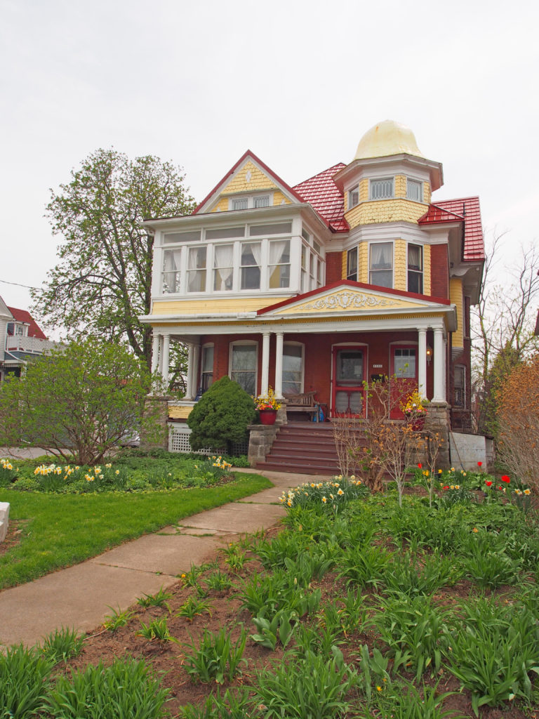
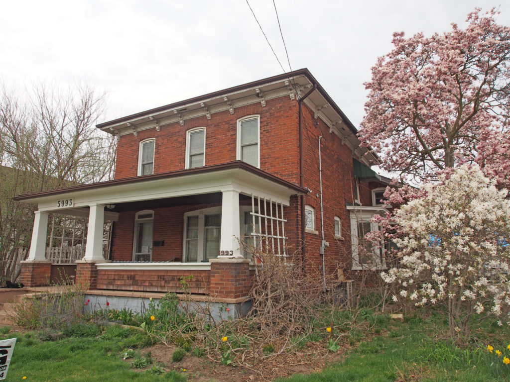
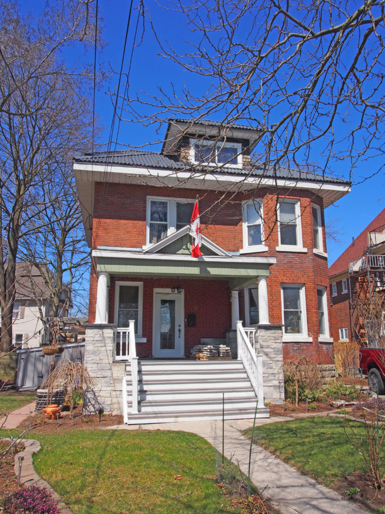
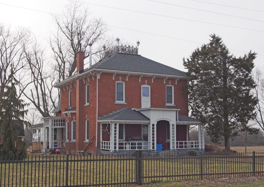
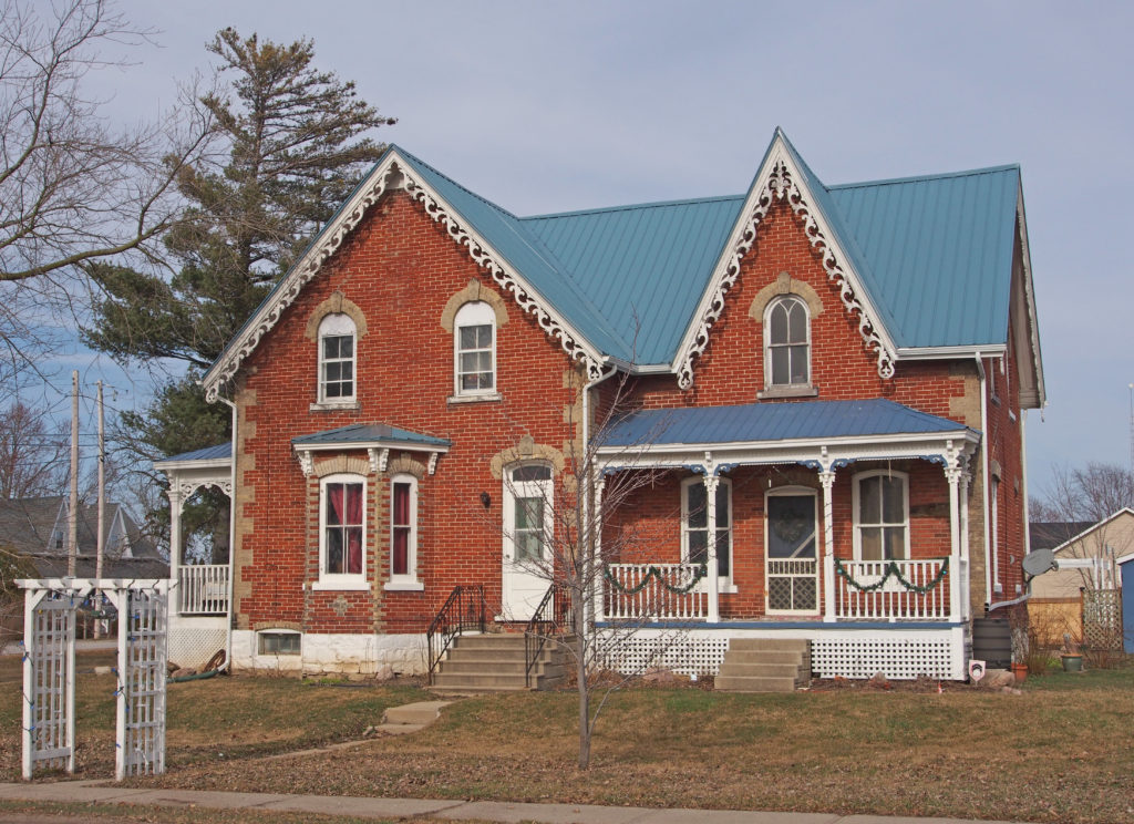
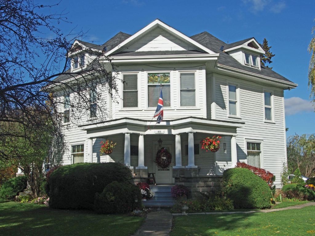
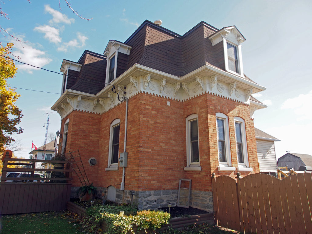
Fort Erie is also home to other commercial core areas of Bridgeburg, Ridgeway, Stevensville and Crystal Beach as a result of the 1970 amalgamation of Bertie Township and the village of Crystal Beach with Fort Erie.
The Fort Erie area contains deposits of flint, and became important in the production of spearheads, arrowheads, and other tools.
After the Treaty of Paris, which ended the French and Indian War and transferred Canada from France to Britain, King George III issued the Royal Proclamation of 1763 establishing the territory beyond which (including what is now Southern Ontario) would be an Indian Reserve. This was an attempt to avoid further conflict with the Indians, although it did not forestall Pontiac’s War the following year. The British also built a string of military forts to defend their new territory, including Fort Erie, the first version of which was established in 1764.
During the American Revolution Fort Erie was used as a supply depot for British troops. After the war the territory of what is now the Town of Fort Erie was settled by soldiers demobilized from Butler’s Rangers, and the area was named Bertie Township in 1784.
The original fort was located on the Niagara River’s edge below the present fort. It served as a supply depot and a port for ships transporting merchandise, troops and passengers via Lake Erie to the Upper Great Lakes. The fort was damaged by winter storms and in 1803 plans were made for a new fort on the higher ground behind the original. It was larger and made of flint stone but was not quite finished at the start of the War of 1812.
During the war, the Americans attacked Fort Erie twice in 1812, captured and abandoned it in 1813, and then recaptured it in 1814. The Americans held it for a time, breaking a prolonged British siege. Later they destroyed Fort Erie and returned to Buffalo in the winter of 1814.
The Fort Erie area became a major terminus for slaves using the Underground Railroad between 1840 and 1860; many had crossed into Canada from Buffalo, New York.
In 1866, during the Irish-American Fenian raids, between 1,000 and 1,500 Fenians crossed the Niagara River, invading Canada as part of an attempt to oust the British and create an independent Irish republic; they occupied the town and demanded food and horses. The only payment they were able to offer was Fenian bonds which were not acceptable to the citizens. The Fenians then cut the telegraph wires and tore up some railway tracks. Afterwards, they marched to Chippewa and the next day to Ridgeway where they fought the Battle of Ridgeway, a series of skirmishes with the Canadian militia. The Fenians then returned to Fort Erie and fought the Battle of Fort Erie in 1866, defeating the Canadian militia. Fearing British reinforcements, they then decided to retreat to the U.S.
The Battle of Ridgeway shocked the country, spurring improvements to Canada’s defenses, and helping to bolster the movement for confederation, which took place the next year.
Ridgeway takes its name from the limestone ridge which runs through it from north to south. The main street of town aptly named Ridge Road, follows this ridge, and was part of one of the first two wagon trails in Bertie Township, connecting Point Abino on Lake Erie to Miller’s Creek on the Niagara River.
Ridgeway was settled by the United Empire loyalists in the late 18th-century, and was originally a farming community. In the 1850s the Buffalo, Brantford and Goderich Railway line was put through, and service industries began to develop around the train stop on Ridge Road. The business district spread north from there towards Dominion Road. In 1873 the post office was opened.
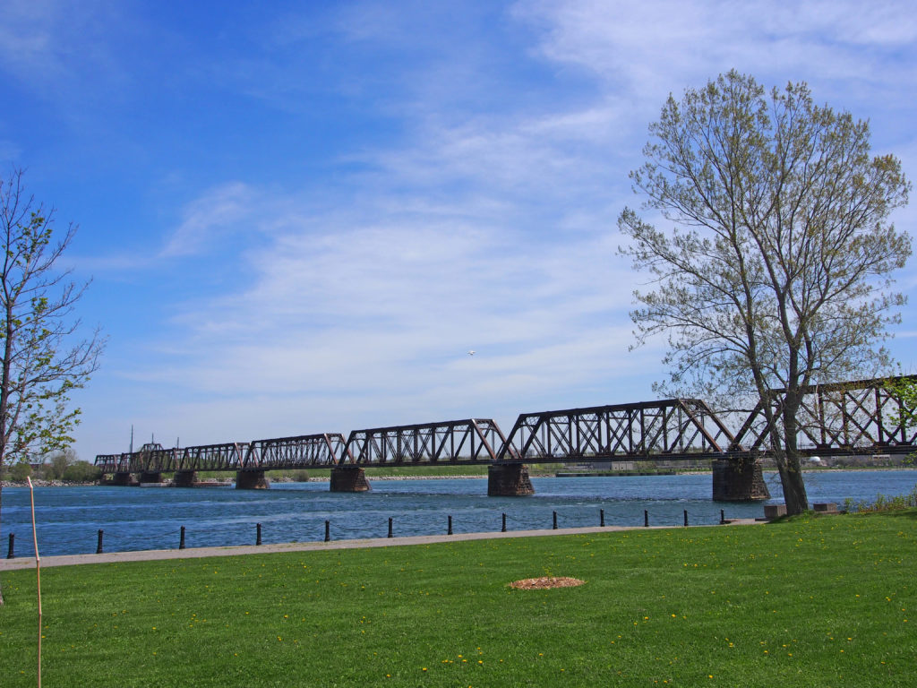
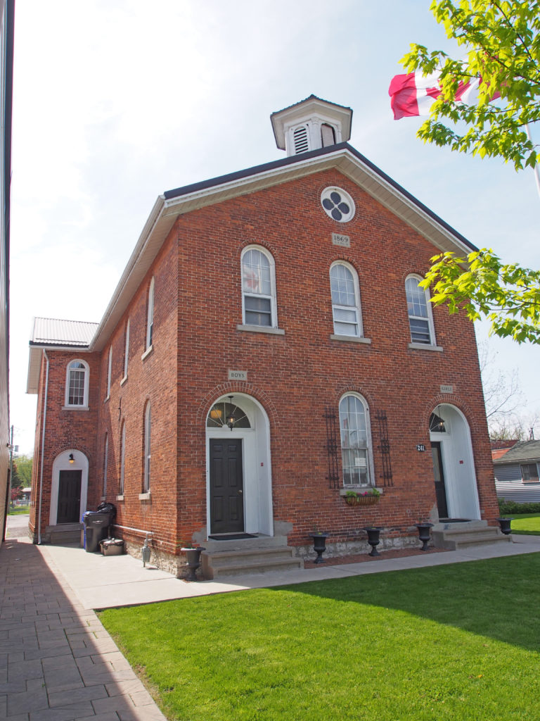
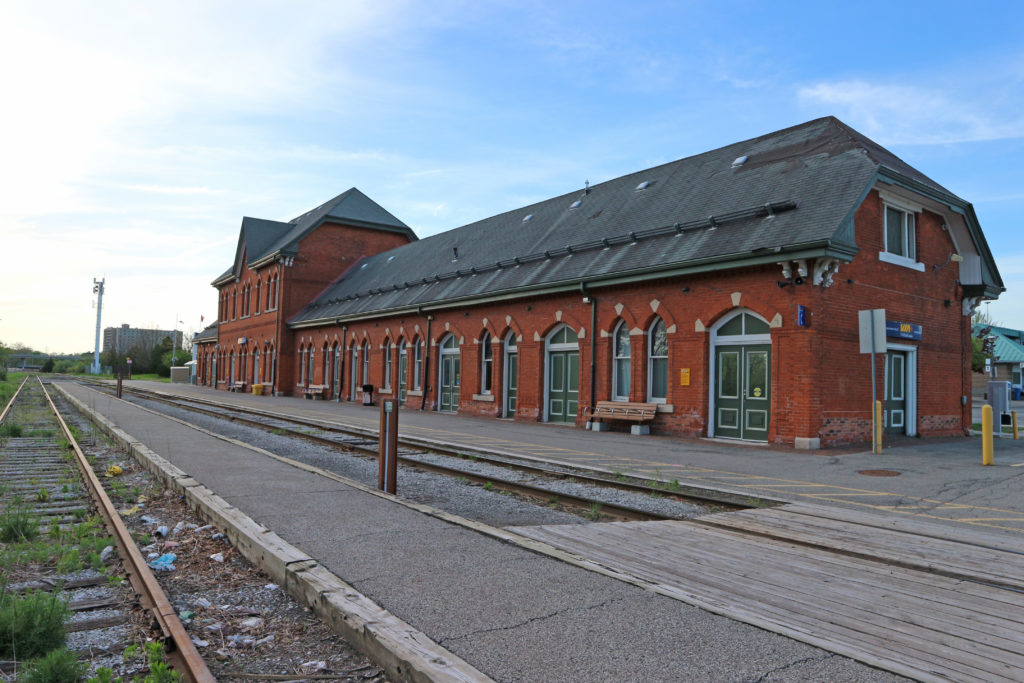
In 1869 Fort Erie was served by the Grand Trunk and the Erie & Niagara railways. The Grand Trunk Railway built the International Railway Bridge in 1873, bringing about a new town, originally named Victoria and subsequently renamed to Bridgeburg, north of the original settlement of Fort Erie. By 1876, Ridgeway had a population of about 800, the village of Fort Erie had about 1,200, and Victoria had three railway stations. By 1887, Stevensville had a population of about 600, Victoria of about 700, Ridgeway of about 600, and Fort Erie of about 4,000.
In 1888, the amusement park at Crystal Beach opened. The park continued to operate until it closed in 1989.
On August 7, 1927 the Peace Bridge was opened between Fort Erie and Buffalo.