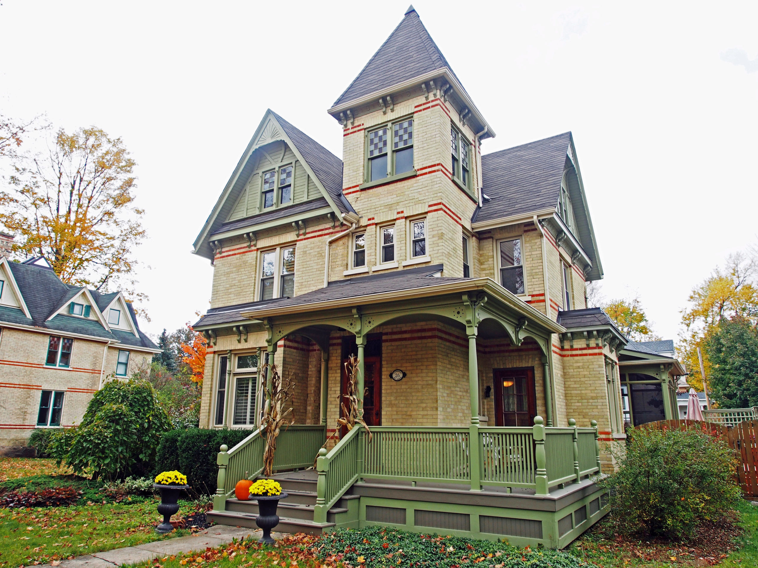
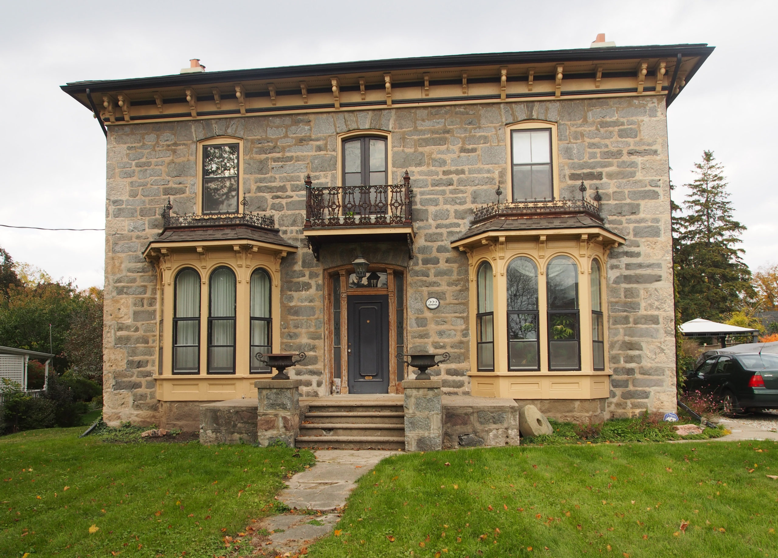
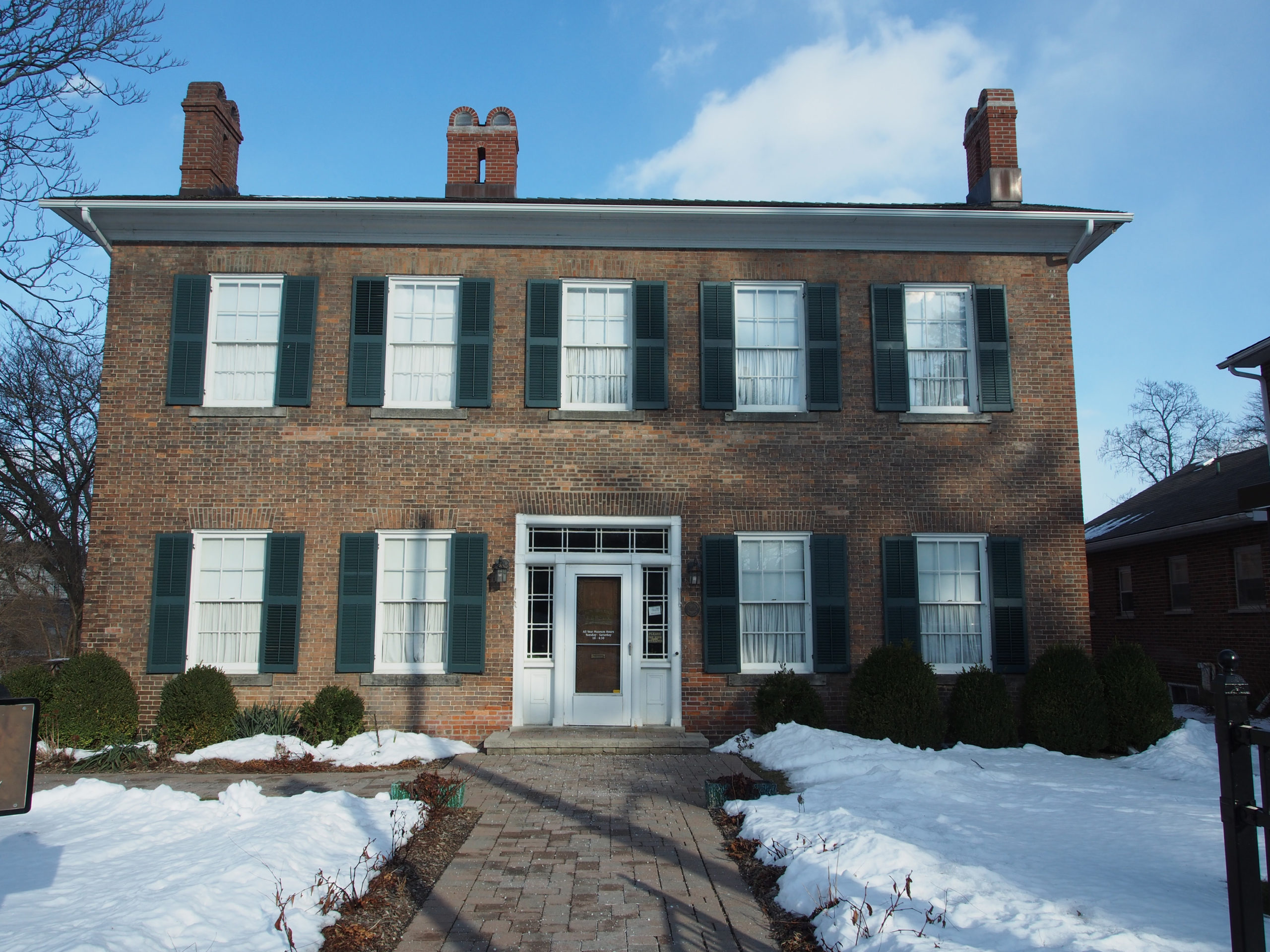
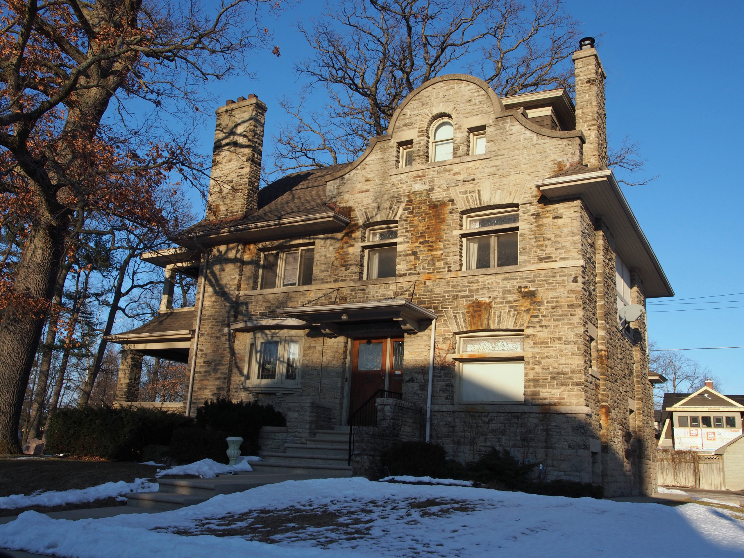
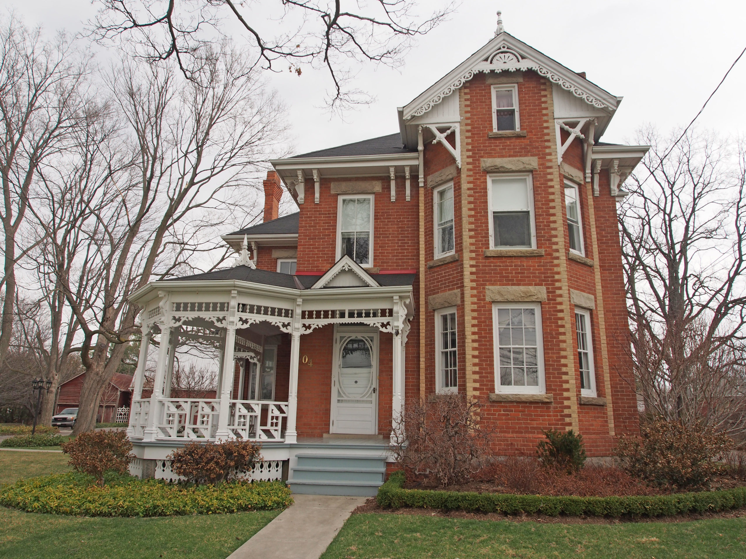
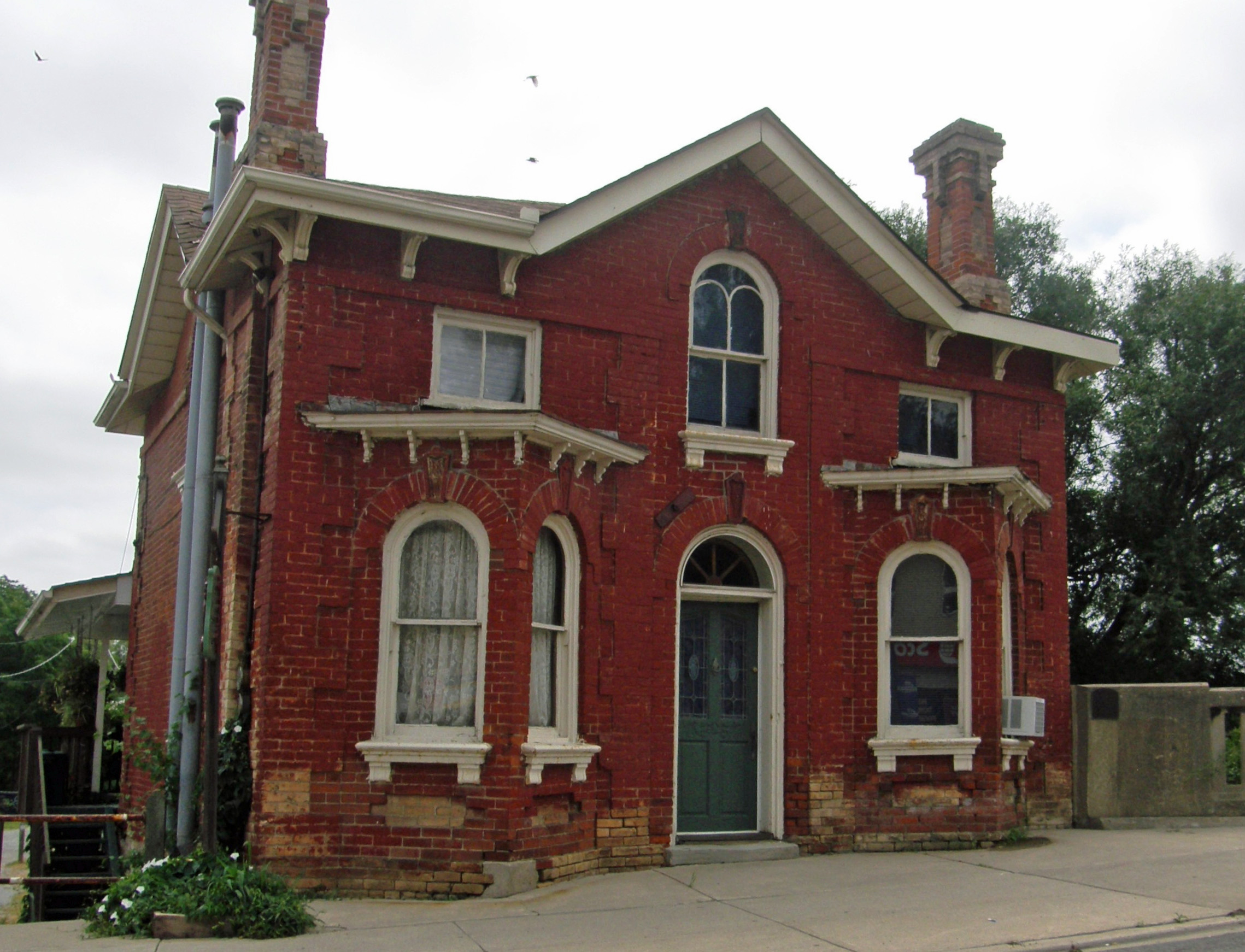
Galt, Ontario – My Top 6 Picks
In 1784 the British Crown granted to the Six Nations Indians, in perpetuity, all the land along the Grand River six miles deep on each side of the river from its source to Lake Erie. The Indians, led by Joseph Brant, had the land surveyed in 1791 and divided into Indian Reserve lands as well as large tracts which they intended to sell to land developers. One such developer was the Honorable William Dickson who, in 1816, came into sole possession of 90,000 acres of land along the Grand River which later made up North and South Dumfries Townships.
It was Mr. Dickson’s intention to divide the land into smaller lots to sell to the Scottish settlers that he hoped to attract to Canada. For the town site, the place where Mill Creek flows into the Grand River was chosen and in 1816 the settlement of Shade’s Mills began. When the Post Office opened in 1825, the new name of Galt was chosen for the town in honor of the Scottish novelist and Commissioner of the Canada Company, John Galt.
In its early days Galt was an agricultural community serving the needs of the farmers in the surrounding countryside. By the late 1830s, the settlement began to develop industrially and acquired the reputation for quality products that in later years earned the town the nickname “The Manchester of Canadaâ€.
In the late 1960s the provincial government began looking at ways in which municipal governments could become more effective. On January 1, 1973, the City of Galt was amalgamated with the towns of Preston and Hespeler to form a single city, the new city being called Cambridge.