May, 2019:

Port Perry, Ontario in Colour Photos – My Top 10 Picks

Port Perry, Ontario

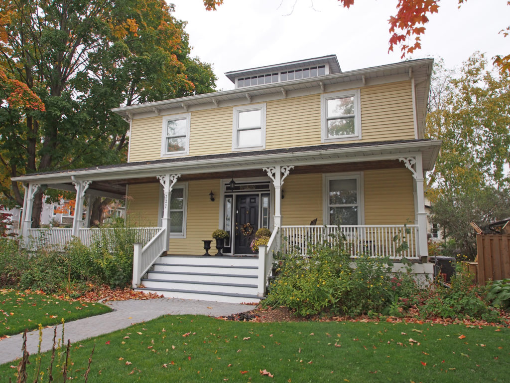
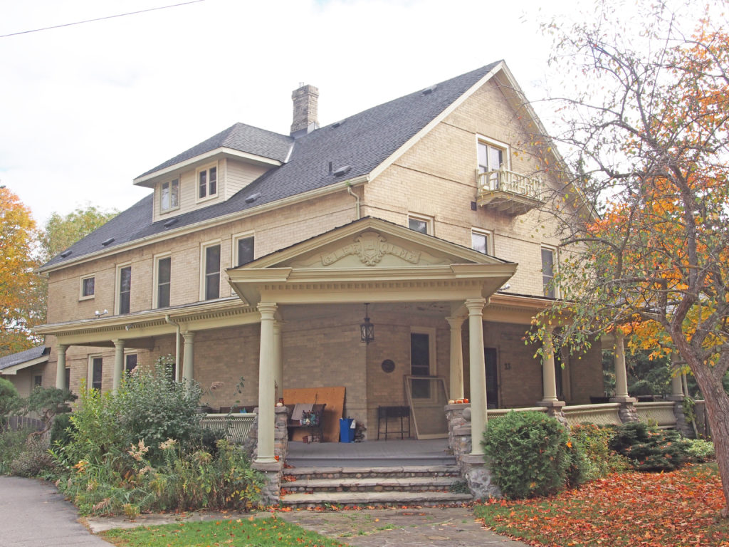
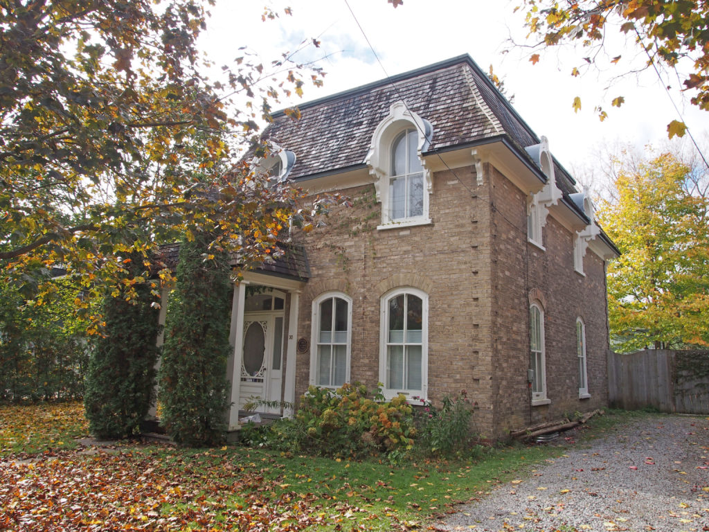
Port Perry is a community located in Scugog, Ontario. The town is located northeast of Toronto and just north of Oshawa. The area around Port Perry was first surveyed as part of Reach Township by Major S. Wilmot in 1809. The first settler in the area was Reuben Crandell, a United Empire Loyalist who built a homestead with his wife in May 1821.

Settler Peter Perry laid out village lots on the shore of Lake Scugog in 1848 on the site of a former native village known as Scugog Village. The town site was named Port Perry in 1852 and its first Postmaster was Joseph Bigelow.

The first train on the Port Whitby and Port Perry Railway reached the terminus in Port Perry in 1872. Cargo from all over northern Ontario was shipped via the Trent-Severn Waterway to Port Perry via Lake Scugog, and then via the railway to Whitby, where it could be loaded onto the Canadian Pacific or Canadian National mainlines running along the shore of Lake Ontario, or onto ships in Port Whitby.

The village was amalgamated with Cartwright, Reach and Scugog Townships to form the Township of Scugog in 1974 upon the creation of the Regional Municipality of Durham.

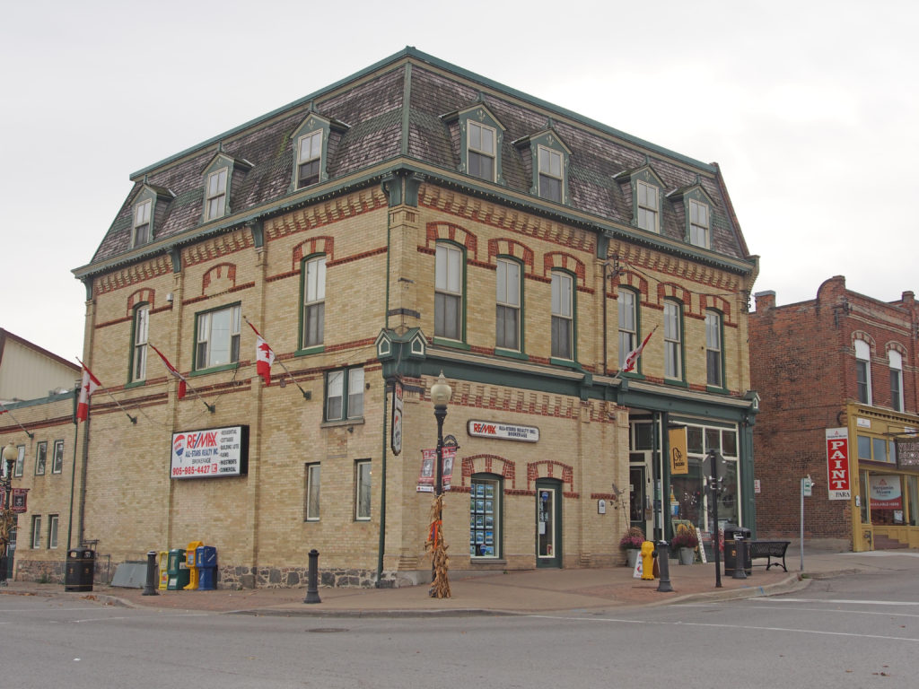
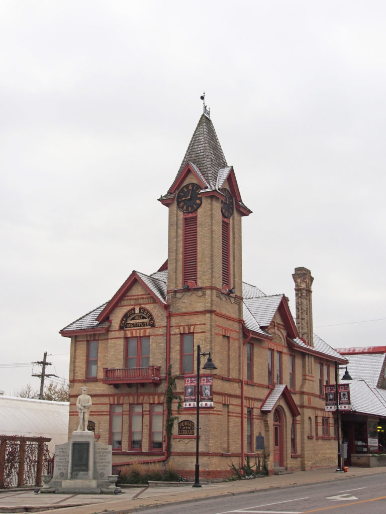
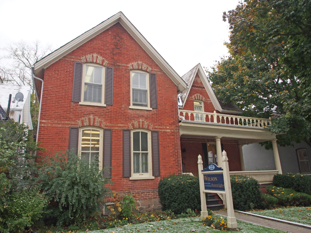
On July 3, 1884 the entire business section of Port Perry was destroyed by fire. The wooden buildings exploded when sparks hit them. The Ross & Sons Grain Elevator on the waterfront, plus two other buildings were the only ones to survive. Thirty-three commercial buildings housing nearly fifty businesses, as well as factories, warehouses, stables, six lodges, and a dozen homes were reduced to rubble in under an hour.

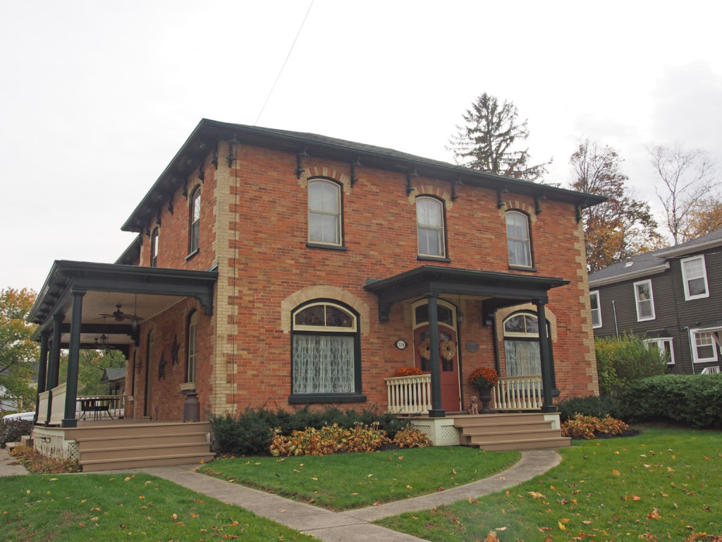
Four months later, the entire commercial sector with seventeen large brick buildings were built.

Architectural Photos, Port Perry, Ontario
53 Perry Street – The Burnham House is a two-story brick house that was built for John W. Burnham in 1878. The house is located on a large lot that overlooks Lake Scugog to the east. Mr. Burnham served as the local postmaster for 45 years.
Architectural Photos, Port Perry, Ontario
183-189 Queen Street – This impressive red and yellow brick building was constructed in 1885 by Jonathan Blong. He divided the building into a number of units which were leased to local shopkeepers.
Architectural Photos, Port Perry, Ontario
201-203 Queen Street – William Jones formed a partnership with John McClung when this new building was built after the fire destroyed the earlier building in 1884. Clothes, groceries, crockery, boots and shoes were sold. Charles Jones operated a dry goods store in the eastern part. In 1988 the property was purchased by Wayne and Carolyn Luke who opened the Victorian Card Shop in this section.
Architectural Photos, Port Perry, Ontario
250 Queen Street – Dr. Orr Graham, a veterinarian, had this house built in 1886. Upon his retirement in 1909, he sold his house and practice to Dr. John T. Elliot. Dr. Coates arrived in 1910. In 2010, Michael and Frank Konopaski purchased the property and operate their business Scugog Financial and Scugog Accounting Professional Corporation.
Architectural Photos, Port Perry, Ontario
302 Queen Street – Former Port Perry Town Hall – Constructed in 1873, first project of Joseph Bigelow, the first Reeve of Port Perry. Many architectural features of Italianate style, reproduction of the original bell tower.
Architectural Photos, Port Perry, Ontario
Queen Street – Gothic Revival – verge board trim and finial on gable
Architectural Photos, Port Perry, Ontario
327 Queen Street – Dr. Richard Jones’ residence – two story, aluminum siding, belvedere on rooftop – c. 1897
Architectural Photos, Port Perry, Ontario
229 Mary Street – S.E. Allen Residence – 1½ story, brick, Victorian Gothic, symmetrical center hall plan, c. 1870
Architectural Photos, Port Perry, Ontario
234 Mary Street – The Jackson House – 2 story, brick façade, c. 1880
Architectural Photos, Port Perry, Ontario
Corner of Water and Queen Streets – In 1840 Peter Perry purchased forty acres in downtown Port Perry and in 1844 he built a frame building which house a store, trading post, and a home for his agent, Chester Draper. Immediately after Perry’s death is 1851, the property was bought by Mason and Phillips who turned it into a hotel. Henry Charles purchased it in 1867. The present yellow building was built after the fire of 1884. The hotel had thirty rooms including a dining room and at the street level were two stores including a sample room where salesmen could display their wares. They named it the St. Charles Hotel after Henry Charles.

Uxbridge, Ontario – Book 2 – in Colour Photos – My Top 11 Picks

Uxbridge, Ontario – Book 2

Uxbridge is a township in the Regional Municipality of Durham in south-central Ontario and is located about forty kilometers northeast of Metropolitan Toronto. The main center in the township is the community of Uxbridge. Other communities within the township include Coppins Corners, Goodwood, Leaskdale, Sandford, Siloam, Victoria’s Corner, and Zephyr.

The first settlers in the area were Quakers who started arriving in 1806 from Pennsylvania. The community’s oldest building, the Uxbridge Friends Meeting House, was built in 1820 and overlooks the town from Quaker Hill, a kilometer to the west.

Architectural Photos, Uxbridge, Ontario
70 Main Street South – Bascom-Williams House – The house was a small square frame house that was later bricked. The property was originally owned by Dr. Joseph Bascom and was transferred to his daughter Mary in 1872. Mary married Alonzo D. Williams who was the first clerk for the Village of Uxbridge and held that position for 27 years.
Architectural Photos, Uxbridge, Ontario
38 Main Street South – Dr. Mellow-Dr. Bascom House – c. 1863 – verge board trim on gables
Architectural Photos, Uxbridge, Ontario
23 Main Street South – c. 1873 – Early Town Founder, John P. Plank bought 100 acres at the corner of Main and Brock Street in 1825. In 1828 he built the first store in Town and the first saw mill at Elgin Pond.
Architectural Photos, Uxbridge, Ontario
27 Main Street North – verge board trim on gables, bay window with brackets
Architectural Photos, Uxbridge, Ontario
39 Main Street North – Former Commercial Hotel Building and Property – Hobby Horse Arms – c. 1868 – Georgian style
Architectural Photos, Uxbridge, Ontario
23 Franklin Street – Charles Small, Gleeholme, Owner of the Uxbridge Piano & Organ Company – c. 1901
Architectural Photos, Uxbridge, Ontario
30 Franklin Street – Halbert Hardy House – A. S. Hardy, tuner – c. 1875 – Second Empire style – mansard roof, window hoods
Architectural Photos, Uxbridge, Ontario
54 Cedar Street North – Harvey and Martha Gould House – c. 1877 – T-shaped 1½ storey white brick house built by Joseph Gould (merchant and miller). In 1886 it was purchased by Harvey Gould a former Mayor of Uxbridge, County Warden.
Architectural Photos, Uxbridge, Ontario
The Thomas Foster Memorial Temple, erected in 1935-36 by the former mayor of Toronto, is situated a short distance north of town. Inspired by Foster’s visit to India, the Temple was designed by architects J.H. Craig (1889–1954) and H.H. Madrill (1889–1998).
Architectural Photos, Leaskdale, Ontario
#690 – Leaskdale – Gothic
Architectural Photos, Goodwood, Ontario
286 Highway 47, Goodwood – Ontario Gothic Cottage

Uxbridge, Ontario – Book 1 – in Colour Photos – My Top 9 Picks

Uxbridge, Ontario – Book 1

Uxbridge is a township in the Regional Municipality of Durham in south-central Ontario and is located about forty kilometers northeast of Metropolitan Toronto. The main center in the township is the community of Uxbridge. Other communities within the township include Coppins Corners, Goodwood, Leaskdale, Sandford, Siloam, Victoria’s Corner, and Zephyr.

It was named for Uxbridge, England, a name which was derived from “Wixan’s Bridge”.

The first settlers in the area were Quakers who started arriving in 1806 from Pennsylvania. The community’s oldest building, the Uxbridge Friends Meeting House, was built in 1820 and overlooks the town from Quaker Hill, a kilometer to the west.

The first passenger-carrying narrow-gauge railway in North America, the Toronto and Nipissing Railway arrived in Uxbridge in June 1871, and for over a decade Uxbridge was the headquarters of the railway. In 1872, the Village of Uxbridge was separated from the Township and incorporated as a separate entity.

With the creation of the Regional Municipality of Durham in 1974, Uxbridge Township was amalgamated with the Town of Uxbridge and Scott Township to create an expanded Township of Uxbridge.

Today, Uxbridge is as a mostly suburban community in northern Durham Region. Major manufacturing employers include Pine Valley Packaging (packaging, containers and portable shelters), Koch-Glitsch Canada (mass transfer systems) and Hela Canada (spice and ingredient manufacture). Many residents commute to other centers in Durham and York Regions and beyond.

Architectural Photos, Uxbridge, Ontario
169 Brock Street West – Jones House – Town Constable – c. 1876 – Gothic Revival with verge board trim and finial on gable
Architectural Photos, Uxbridge, Ontario
At the southeast corner of Brock and Toronto Streets stands the Uxbridge Public Library (c. 1887). It was beautifully restored in 1985. Uxbridge’s citizen, Joseph Gould, commissioned it as a Mechanics’ Institute and John T. Stokes of Sharon was the probable architect. It is in the High Victorian Gothic style of architecture which is reflected in its picturesque roofline, impressive clock tower and lavish attention to detail such as projecting brick courses, buttresses, bricks set in a diagonal pattern, decorative red brick, ornate chimneys and dropped brick keystones over the windows.
Architectural Photos, Uxbridge, Ontario
22 Brock Street East – Gothic – dichromatic brickwork
Architectural Photos, Uxbridge, Ontario
35 Brock Street East – patterning in gable, decorative cornice and brackets, arched windows and voussoirs, banding
Architectural Photos, Uxbridge, Ontario
112 Brock Street East – This house was built in 1871 by Samuel Umphrey, a prominent Uxbridge Businessman, who played an important role in the Uxbridge Cabinet Organ Factory. This Victorian house has a fine example of bargeboard, spool work and fretwork.
Architectural Photos, Uxbridge, Ontario
55 Dominion Street – Thomas & Lucy Chapple House, Barrister & MPP – c. 1885 – fish scale patterning in gable, decorative cornice and brackets, rounded double windows with voussoirs, banding
Architectural Photos, Uxbridge, Ontario
50 Dominion Street – wraparound verandah, verge board trim on gable, two-story square tower
Architectural Photos, Uxbridge, Ontario
23 First Avenue – c. 1888 – David Thirsk (carpenter) purchased the lot in 1887 and built this Gothic Revival two-storey yellow bricked home with a coursed fieldstone basement. In 1908 it was purchased by W.H. Brownscombe who was in the Boot and Shoe business. There is a widow’s walk with iron cresting on the rooftop.
Architectural Photos, Uxbridge, Ontario
41 First Avenue – The 1½ story Ontario Cottage style Wheler House was built in 1860 by Edward Wheler at the northwest corner of Brock and Main Street with the lumber coming from the local mill owned by George Wheler. It was moved to its present location by Ira G. Crosby in 1871. He was the Town Treasurer for many years.

Oshawa, Ontario – Book 3 – in Colour Photos – My Top 7 Picks

Oshawa, Ontario – Book 3

Oshawa is a city in Southern Ontario on the Lake Ontario shoreline. It is about sixty kilometers east of Downtown Toronto. The name Oshawa comes from the Ojibwa word meaning “the crossing place” or “where we must leave our canoes”. More than 5,000 people work and more than 2,400 university students study in the downtown core.

Oshawa’s roots are tied to the automobile industry with the Canadian division of General Motors located here. It was founded in 1876 as the McLaughlin Carriage Company. The lavish home of the carriage company’s founder, Parkwood Estate, is a National Historic Site of Canada.

In 1822, a “colonization road” (a north-south road to facilitate settlement) known as Simcoe Street was constructed. It ran from the harbor to the area of Lake Scugog. It intersected the “Kingston Road: at what became Oshawa’s “Four Corners.”

In 1846 there were about 1,000 people in a community surrounded by farms. There were three churches, a post office, various types of tradesmen, a foundry, a grist mill and a fulling mill, a brewery, two distilleries, a machine shop and four cabinet makers.

In 1876, Robert Samuel McLaughlin, Sr. moved his carriage works to Oshawa from Enniskillen to take advantage of its harbor and of the availability of a rail link not too far away. He constructed a two-storey building, which was soon added to. This building was heavily remodeled in 1929, receiving a new facade and being extended to the north. Around 1890, the carriage works relocated from its Simcoe Street address to an unused furniture factory a couple of blocks to the northeast, and this remained its site until the building burnt in 1899. Offered assistance by the town, McLaughlin chose to stay in Oshawa, building a new factory across Mary Street from the old site. Rail service had been provided in 1890 by the Oshawa Railway; this was originally set up as a streetcar line, but by about 1910 a second freight line was built slightly to the east of Simcoe Street which provided streetcar and freight service, connected central Oshawa with the Grand Trunk (now Canadian National) Railway, and with the Canadian Northern (which ran through the very north of Oshawa) and the Canadian Pacific, built in 1912-13.

Architectural Photos, Oshawa, Ontario
18 Aberdeen Street – dormer, centered door
Architectural Photos, Oshawa, Ontario
43 Connaught Street – patterned brickwork, bay window
Architectural Photos, Oshawa, Ontario
55 Connaught Street – J.H. Beaton House – c. 1928 – Tudor style
Architectural Photos, Oshawa, Ontario
62 Connaught Street – 1923 – Georgian style, centered door with open pediment, transom, multi-paned windows, banding
Architectural Photos, Oshawa, Ontario
99 Connaught Street – shed dormer, pediment, sidelights
Architectural Photos, Oshawa, Ontario
417 Mary Street North – bay window
Architectural Photos, Oshawa, Ontario
342 Mary Street North – 1920 – Gothic, corner quoins, contrasting voussoirs and lintels