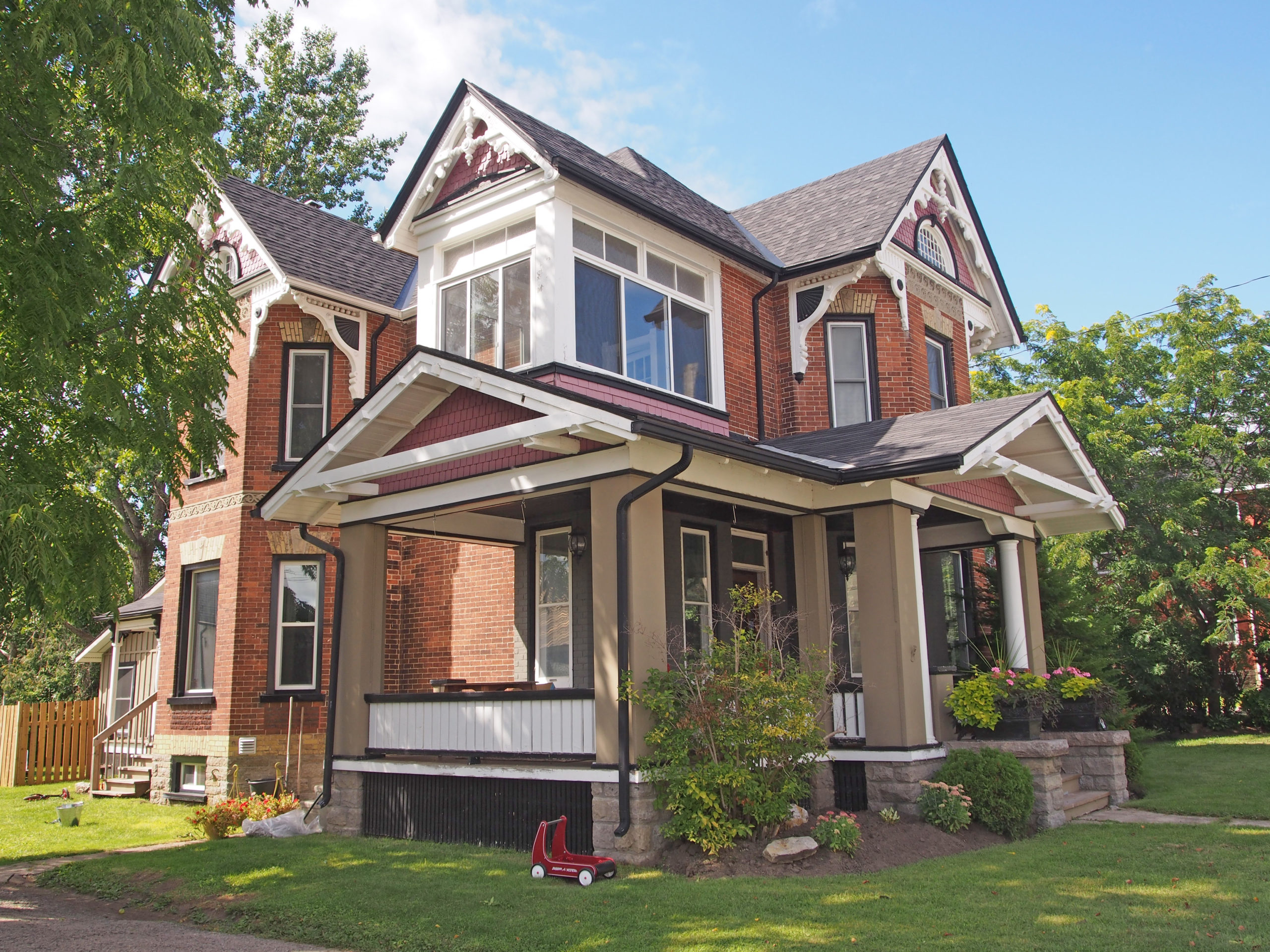
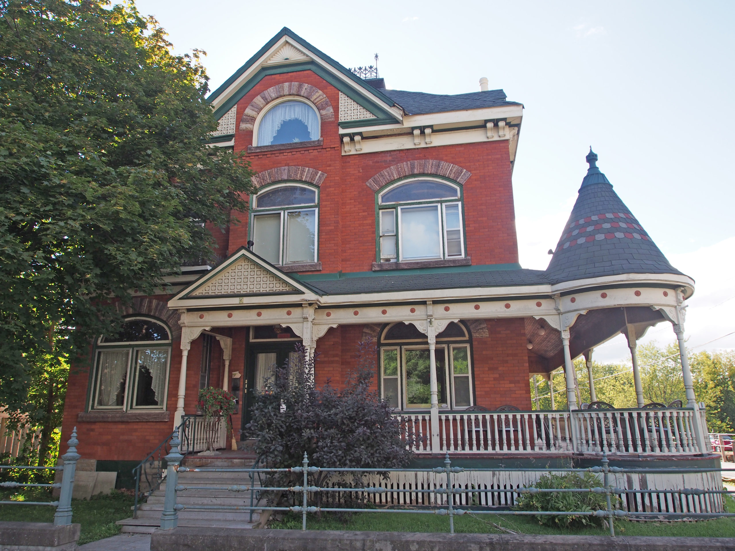
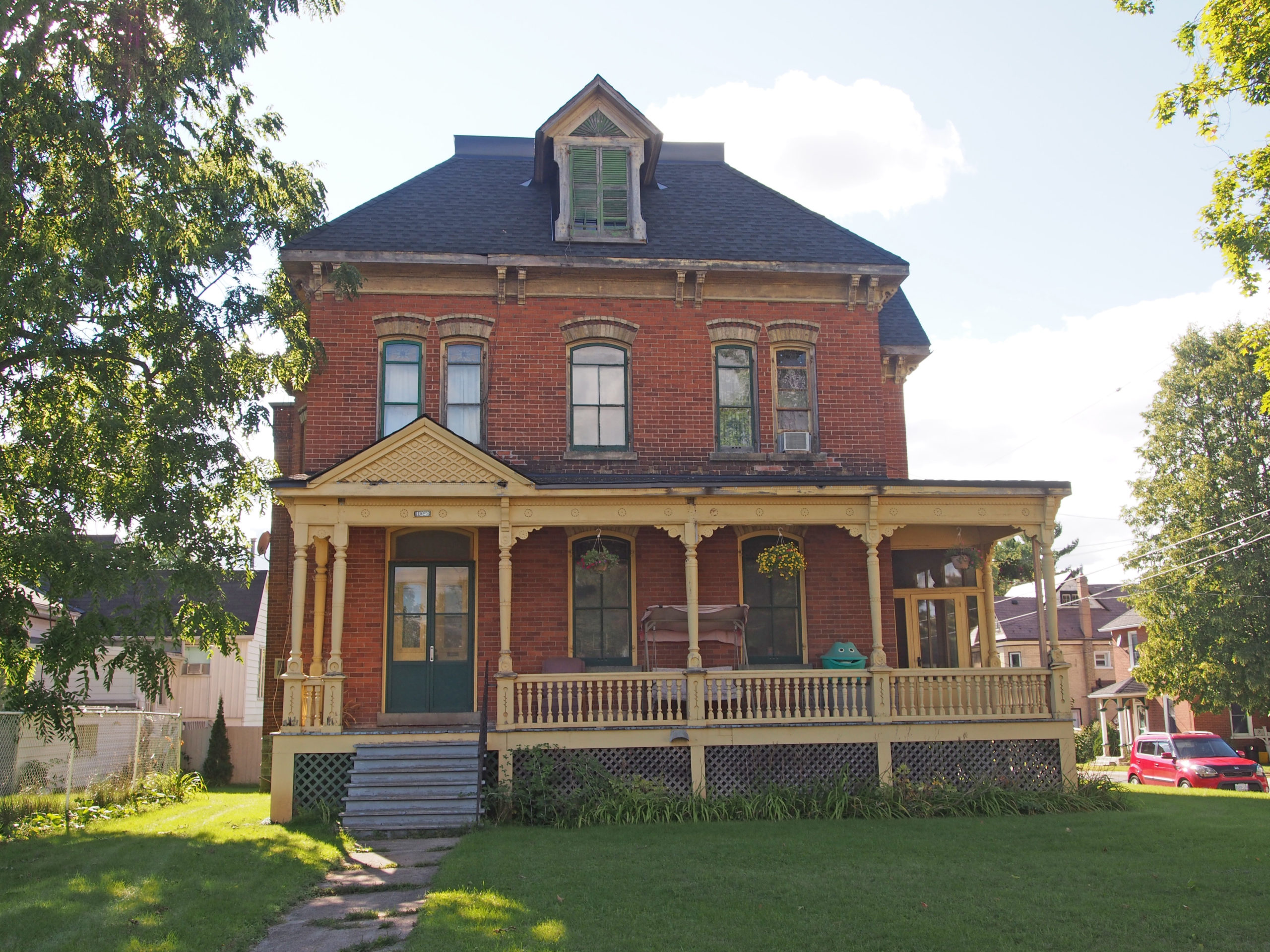
Goderich, Ontario – My Top 24 Picks
Goderich is located on the eastern shore of Lake Huron. The town was laid out in 1828. The unique layout of Goderich’s core encompasses eight primary streets radiating from an octagon bounded by eight business blocks. This civic square, with a park at its center, is popularly known as “The Squareâ€. Four streets intersecting at right angles – Victoria, Nelson, Waterloo and Elgin – form the outer edges of the core with the octagon in the center.
The Square reflects a vision of a town center of classical design and elegance. From the 1840s to the 1890s, the growth of Goderich centered around the development of the Market Square. For nearly 100 years the original Huron County Courthouse, an Italianate brick building of imposing scale and elegance, stood in the center of The Square. The current courthouse replaced the original which was destroyed by fire in 1954.This fast growing town was the center of a prosperous agricultural region. The Sifto Salt Mines are located under Lake Huron.

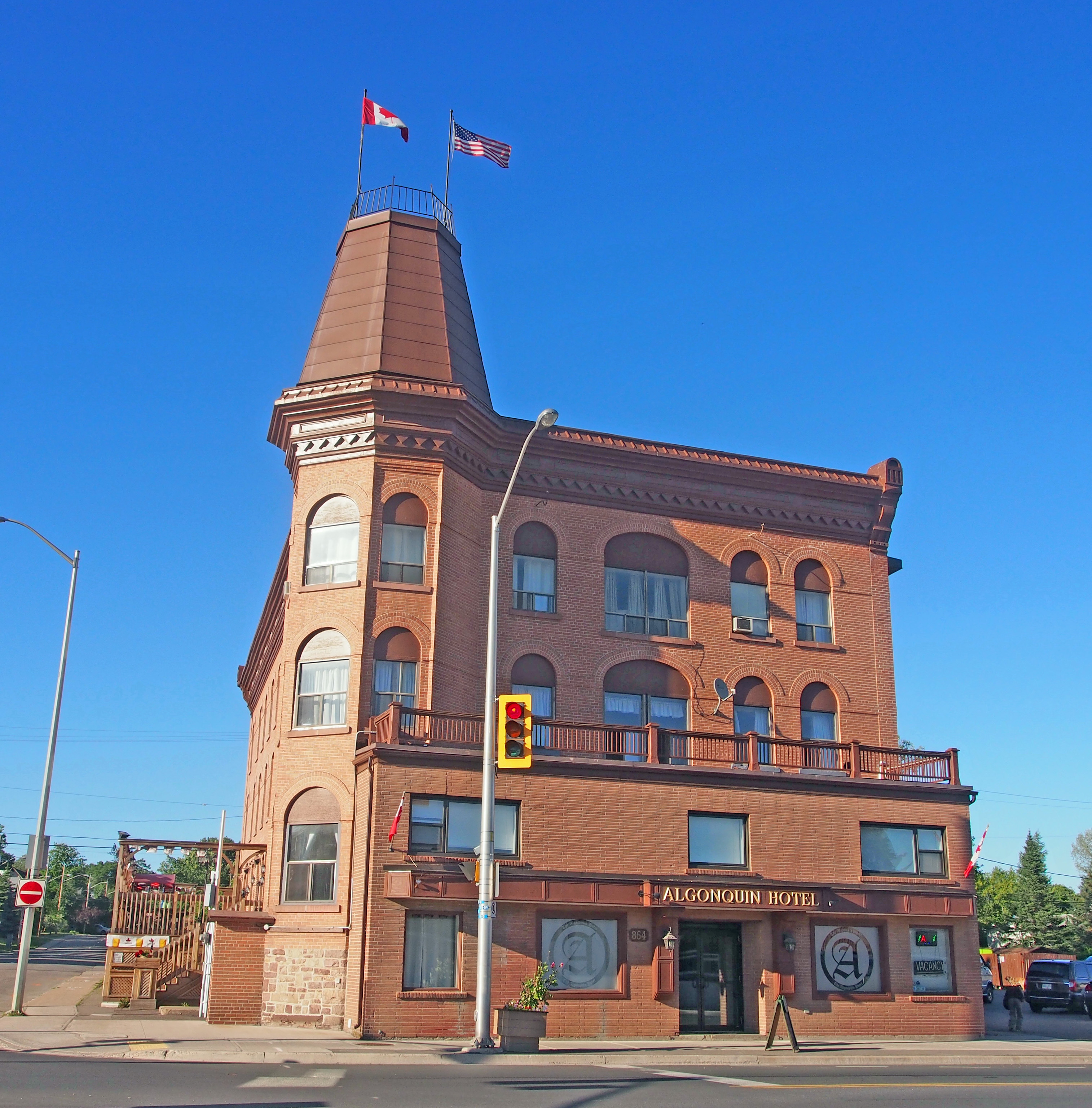
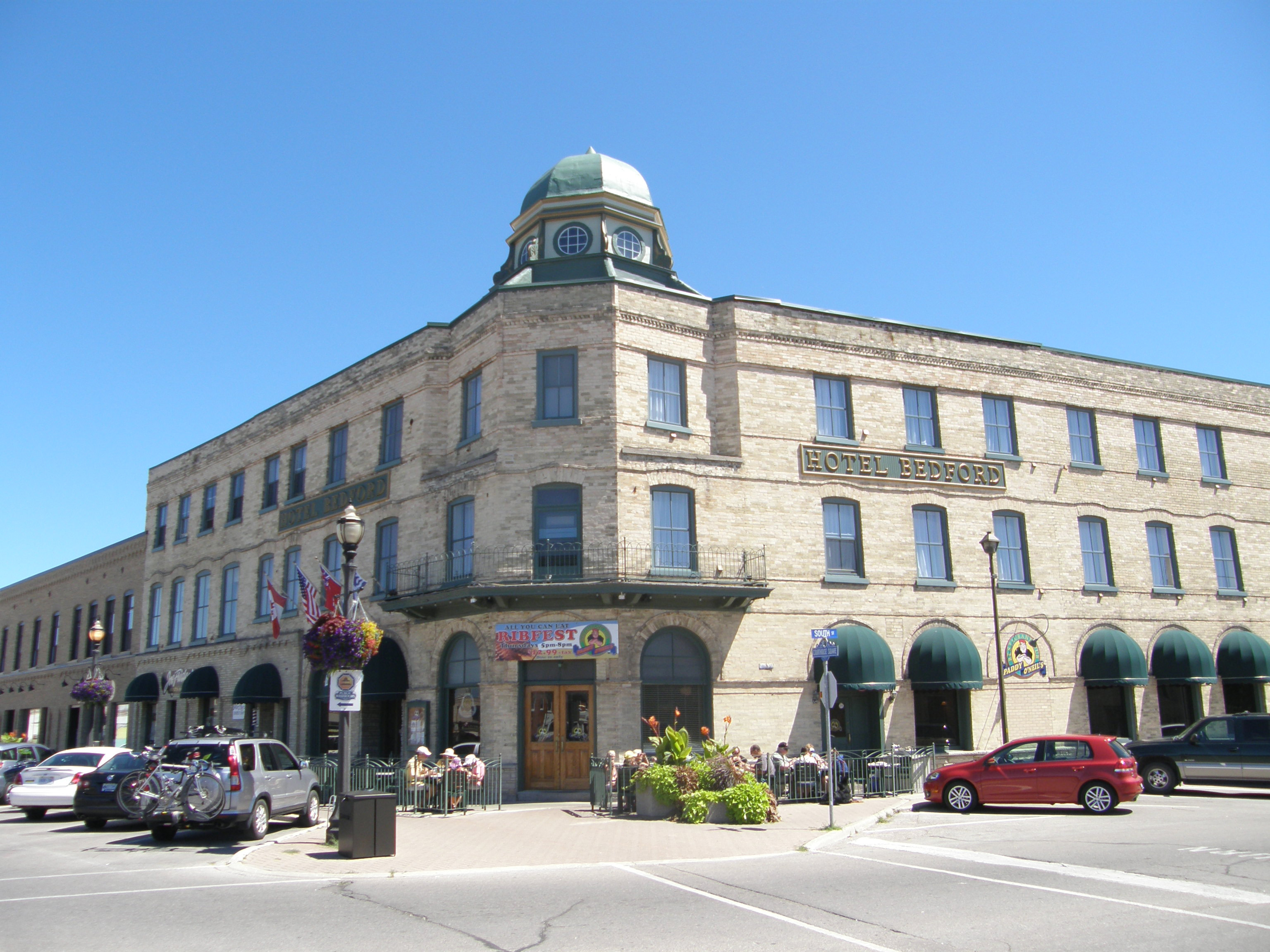
92 The Square – Hotel Bedford – 1896 – three-storey hotel with thirty-five rooms – Romanesque arches on the ground floor and restrained Italianate decorative elements such as the large cupola and projecting balustrade above the entrance.

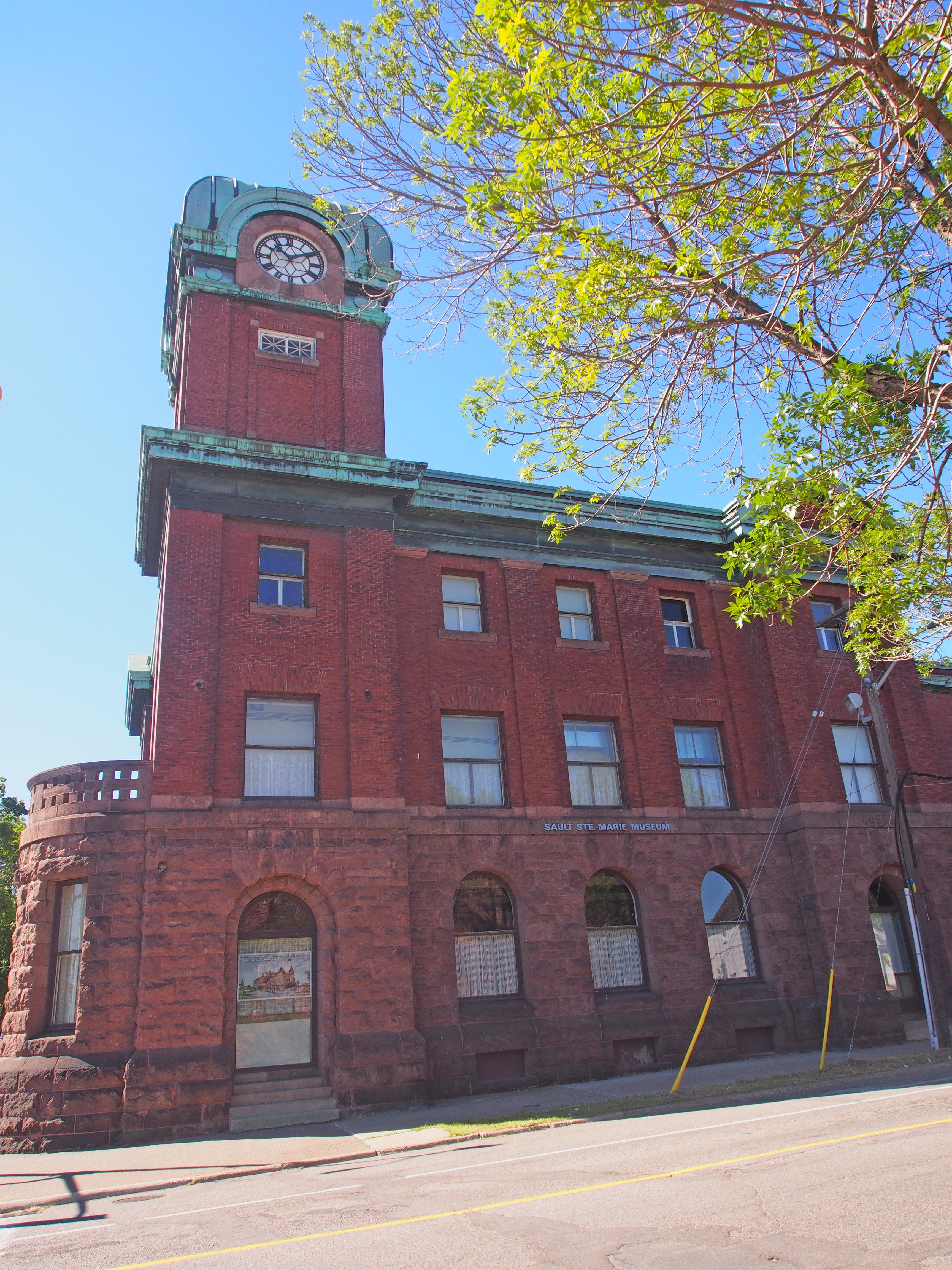
Huron County Court House – After the tornado with no trees left

Sifto Salt Mine
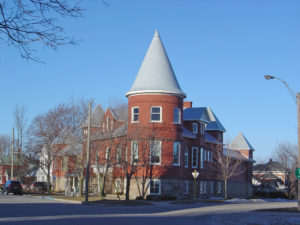
52 Montreal Street – Goderich Public Library was opened in 1903 as a Carnegie library. It is in the Romanesque Revival style with the large round tower, the round-headed windows, and the irregular roof.

65 Montreal Street – The “Garrow House†was built around 1850 and was the residence of James Thompson Garrow who later became Supreme Court Judge and local Judge of the Canadian Exchequer Court. It is in the Italianate style with unusual bracketing, a two-storey veranda, large front windows and two end chimneys, a central Palladian window and decorative stone lintels and keystones.

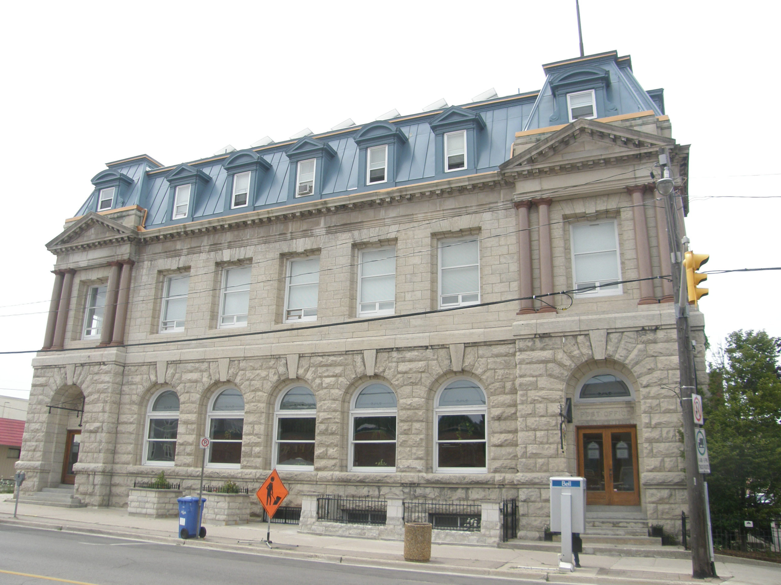
57 West Street – Port of Goderich Municipal Offices in 2007 – It was built in 1890 of stone in the Romanesque style with massive gables. The building was designed by Thomas Fuller, one of Canada’s leading early architects. The rusticated stone coursing and wall capping add to its monumental appearance.
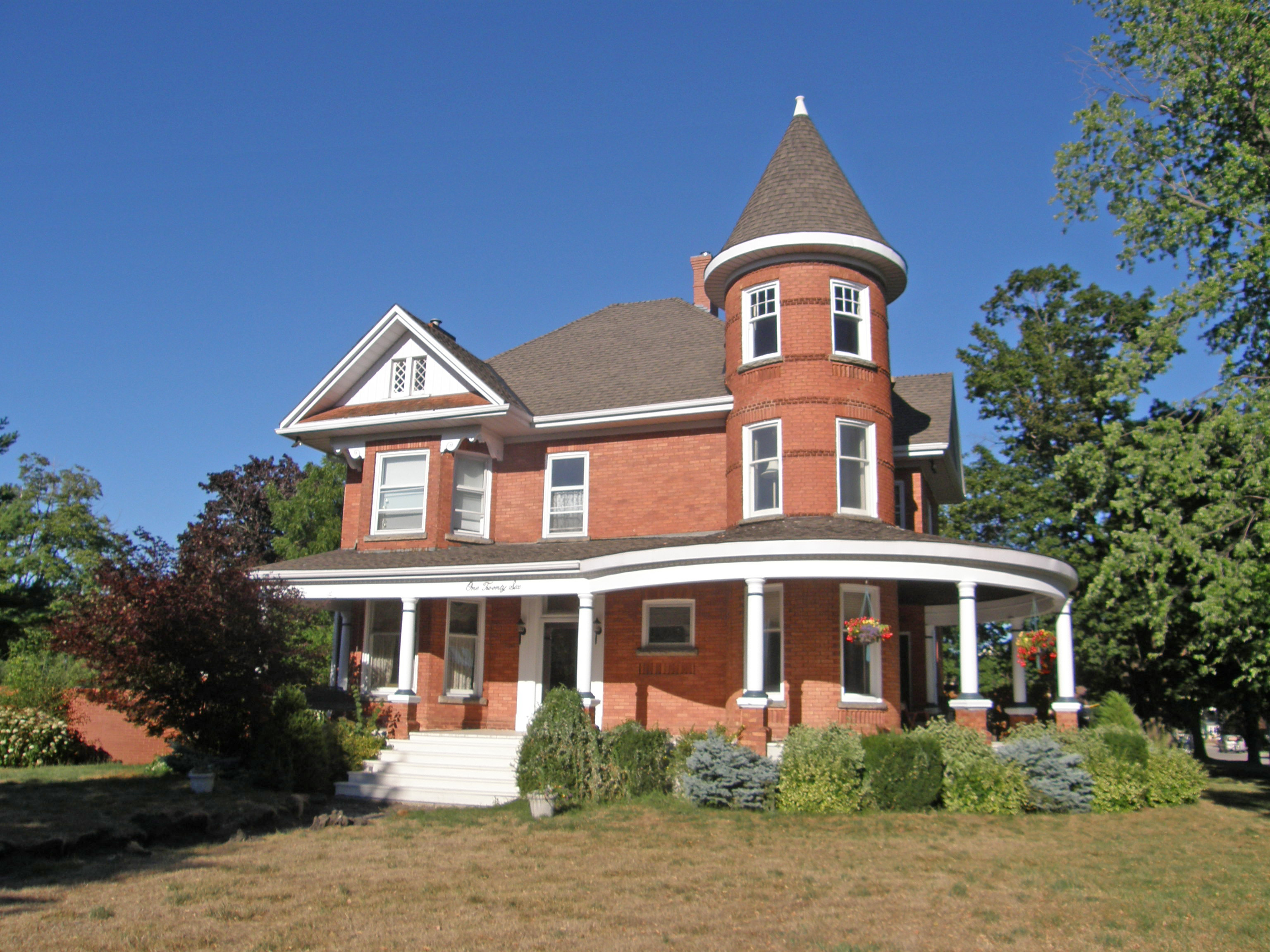
20 Wellington Street South – The “Strachan House†was built by Adam McVicar, builder of the lighthouse, in 1880. A schooner brought 40,000 bricks to Goderich to construct this mansion for Donald Strachan, a prominent businessman. The Second Empire house features a mansard roof of patterned slate, and a tower crowned with iron cresting, and intricately molded window headings.

1 Beach Street – Canadian Pacific Railway station – The station is built of red brick with limestone foundation. It has a hipped roof over the central portion with a cross-gable and lunette trackside. Restored slate tiles top the conical roof of the round waiting room. The station house was opened for service in 1907. Passenger service ended in 1956, and mixed train service in 1961. One of the last CPR trains stopped on the bridge on August 3, 1988 and blew its whistle for a final time.

5 Cobourg Street (the MacDonald House) was the office of the Bank of Upper Canada from 1859-63 and the home of its manager “Stout Macâ€. It was built in 1858 in the Georgian style with balanced façade; transom and sidelights are around the front entrance

85 Essex Street – “The Judges House†is a white brick High Victorian structure with a Gothic Revival flavor with Tudor Revival or Italianate features built in 1877. It derives its elegance from the symmetry of the three-bay façade. The symmetry is further emphasized by the square bay windows on the first floor as well as the central porch under the central dormer. The delicacy of the wooden barge boards and rails over the bay windows add pleasing touches.

135 Essex Street Рc. 1880 Рlakefront cottage in the Picturesque style Рdistinguishing features include the prominent pyramidal roof, which extends over the main fa̤ade verandah and the glazed sun-chamfered wood columns with decorative brackets.

56 Wellesley Street – Gothic Revival, bay window

82 Wellesley Street – erected in 1888, the Tom House is an Italianate structure built for Mr. John Elgin Tom, a public school inspector for West Huron. The most notable features include iron cresting on the roof peak, decorative brackets and fascia boards under the soffits, decorative fretwork around the center gable, metal roofing tiles, brick chimneys, and the square bay on the west side.

203 Lighthouse Street – The Wellesley or Wilson House was built by William Bennett Rich, a former Grenadier Guard who later served on Town Council. The house was built around 1845 and combines Georgian and Neo-classical influences. Mr. Rich had several outstanding homes built in town as wedding presents for his many daughters. It has a hipped roof, shutters on the windows, and a verandah with open railing

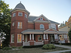
126 North Street, the Baechler House, was built in 1882 for druggist James Wilson, but it was in the Baechler family for 60 years. The tower with curved glass windows and the deep verandah wrapping around the building are typical of the Queen Anne style.
53 North Street was built in the Queen Anne style by George Acheson about 1905. Features include the pleasing proportions of the three-storey tower, frontispiece with gable, deep veranda with Doric pillars, and pediment with decorated tympanum

38 St. Vincent Street, the Johnson House, was built in 1863 for Hugh Johnston who married one of the six daughters of William Bennett Rich. It is vernacular Georgian in its massing and proportions but with Regency influences in the French doors, a Classical verandah and windows, and Italianate cornice brackets.

Widow’s walk on rooftop, 2½-storey frontispiece with semi-circular window in gable, one-storey wing with flat roof

92 St. George’s Crescent, McDermott’s Castle, begun in 1862 in an attempt to replicate the owner’s Irish castle, sat empty until 1904. A new owner added the third floor and finished the roof and tower which contained an elevator run by water from a cistern on its roof. Tower to the right has corbels on the corners and a parapet.
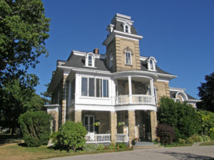
103 St. George’s Crescent, the Donnelly House, was built about 1880 for Horace Horton, a local businessman, mayor and MP. Second Empire style has both convex and concave mansard roof lines with round-topped dormers, elaborate keystones, a 3½-storey tower, corner quoins, and a second floor semi-circular balcony.

150 St. George’s Crescent was built for Joseph Williams, importer of fine timber which was much used in this home. Italianate – hipped roof, chipped gable with verge board trim, second floor balconies above entrance and side bay windows, corner quoins, prominent keystones above windows

28 Nelson Street West – built around 1870 – The bracketed trim beneath the eaves and the disposition and shape of the windows are Italianate in style. It has a hipped roof, frontispiece, keystones and drip molds.

80 Hamilton Street – “Thyme on 21†is a restaurant in a Victorian heritage house built in the late 1870s with iron cresting on the porch and roof peak; scroll work on the bay window and the porch is unique to this community.

#181 – Italianate – hipped roof, 2½-storey tower-like bay with verge board trim on gable with diamond-shaped window; paired cornice brackets, fretwork, decorative veranda entrance with stenciling