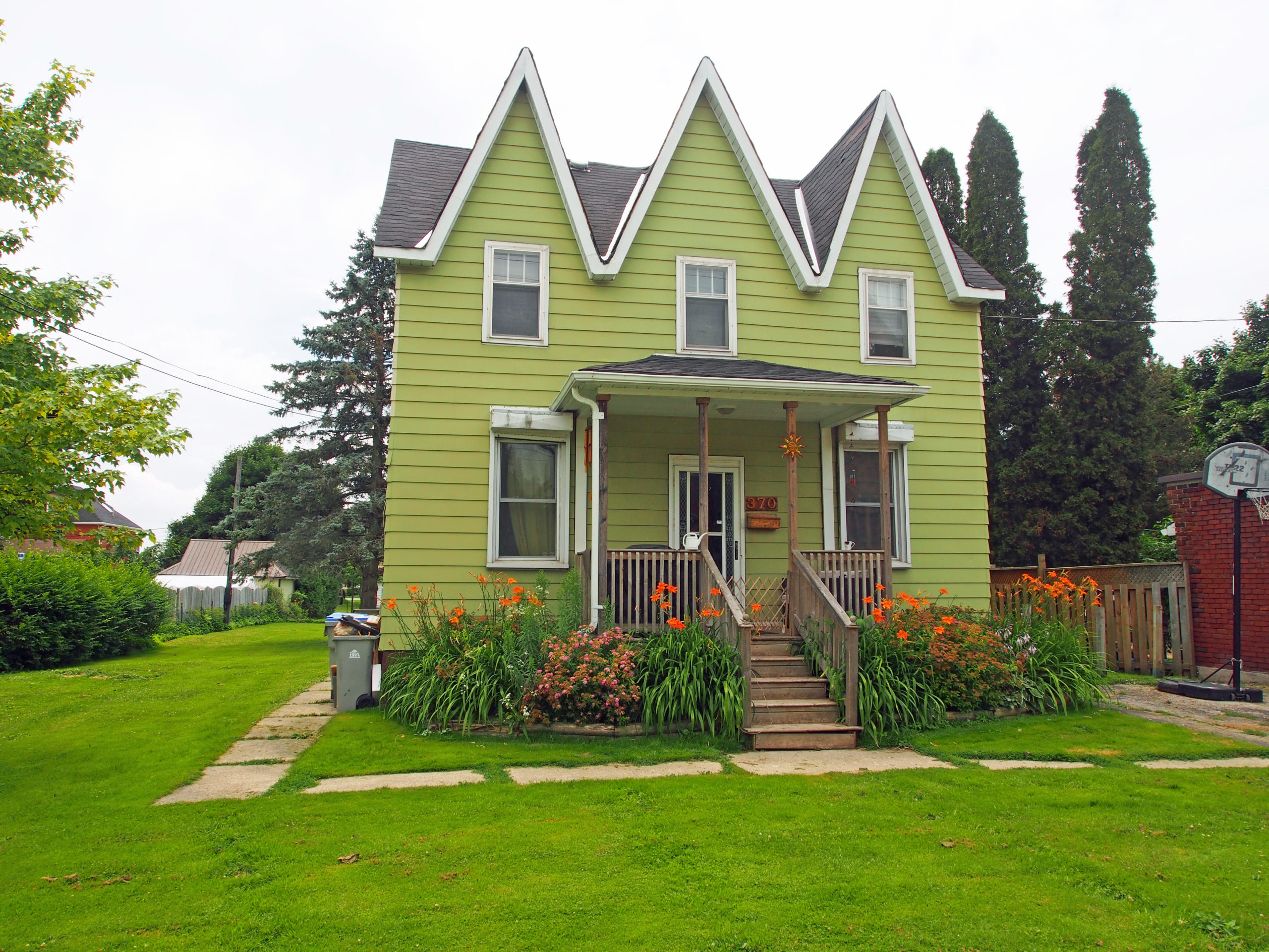
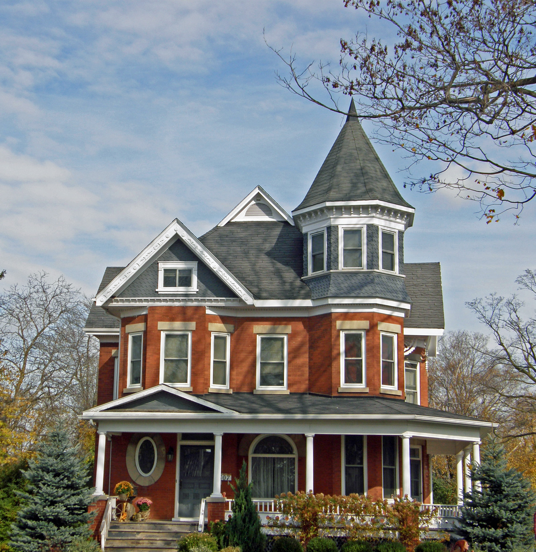
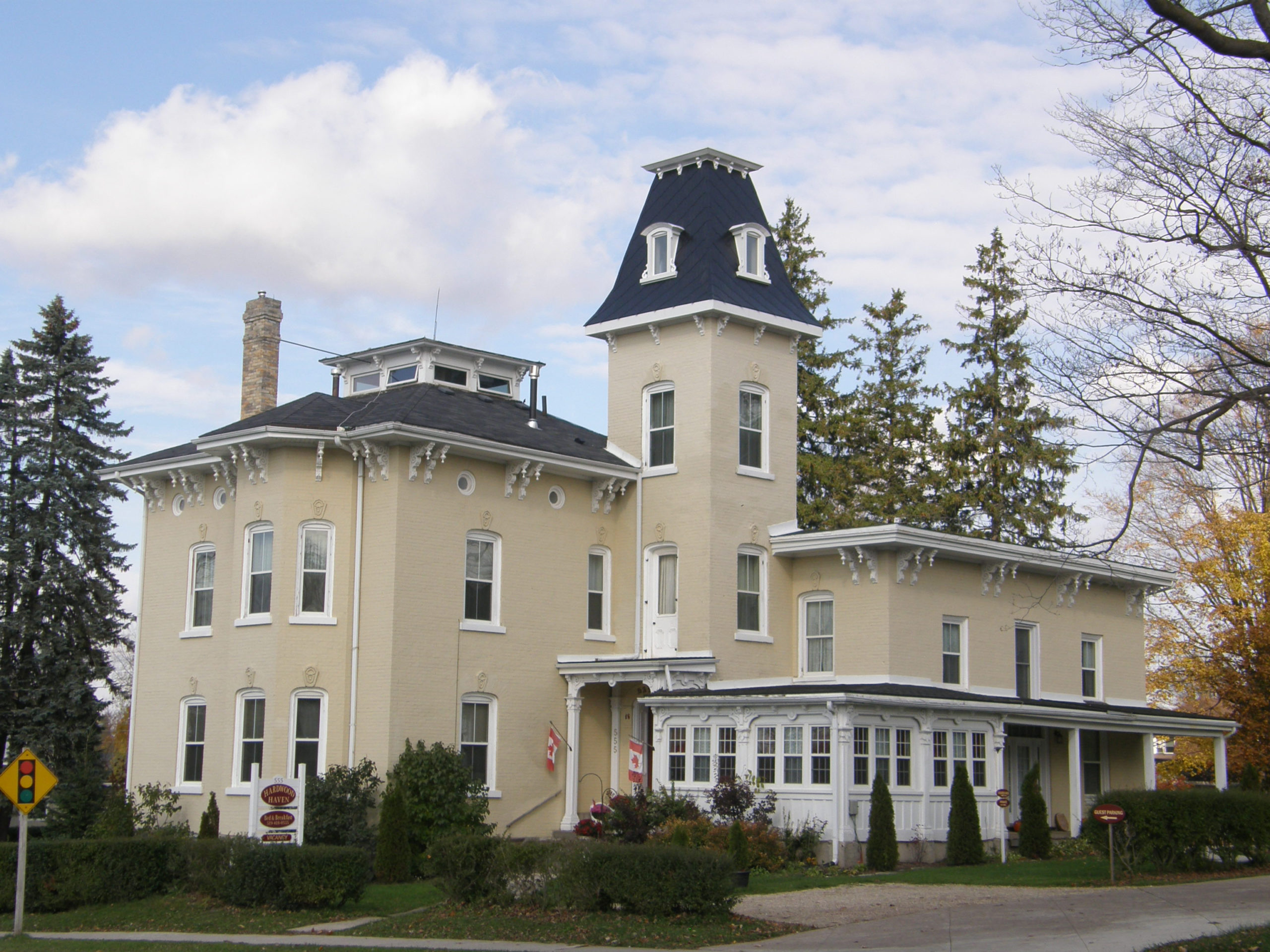
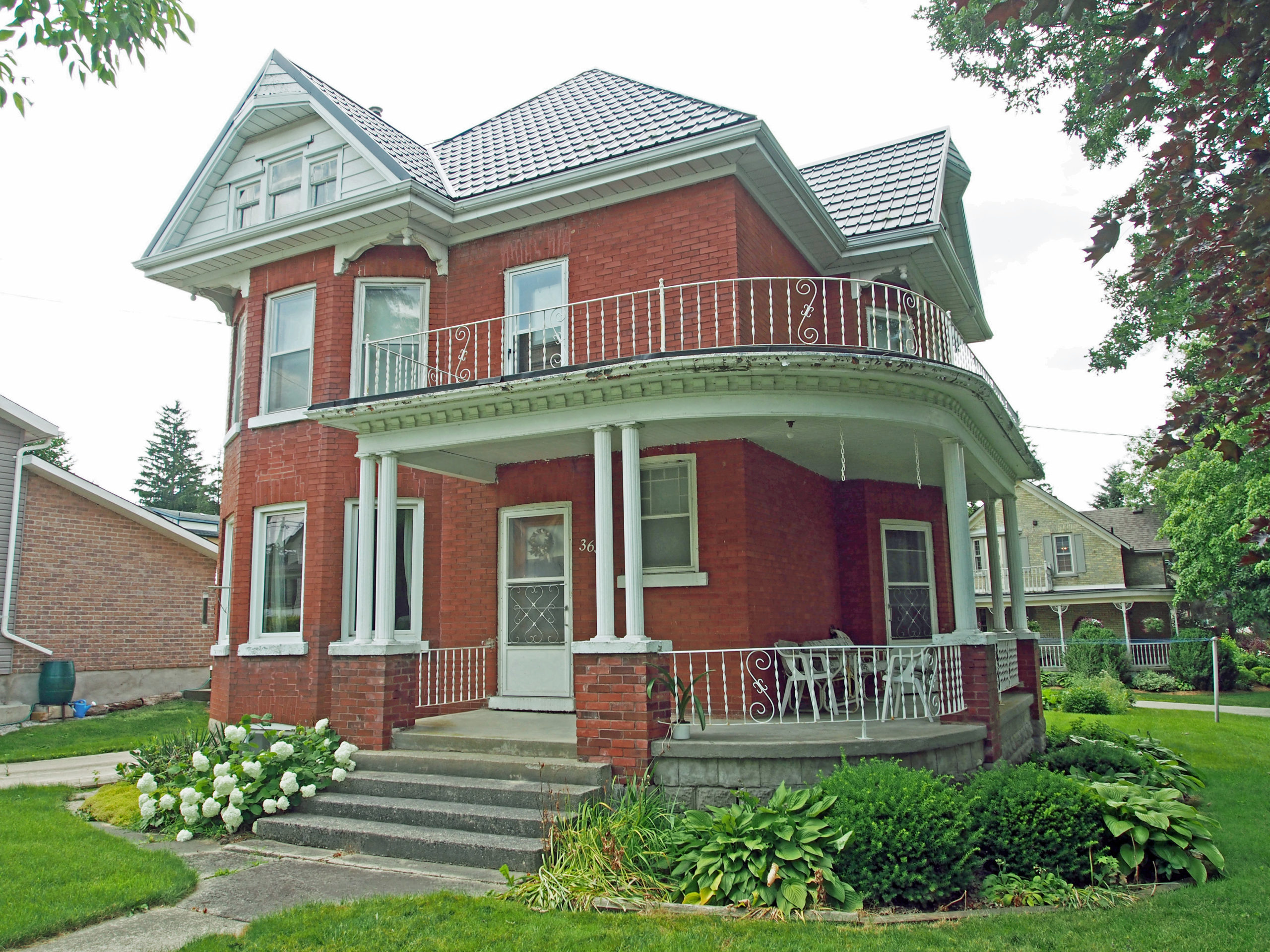
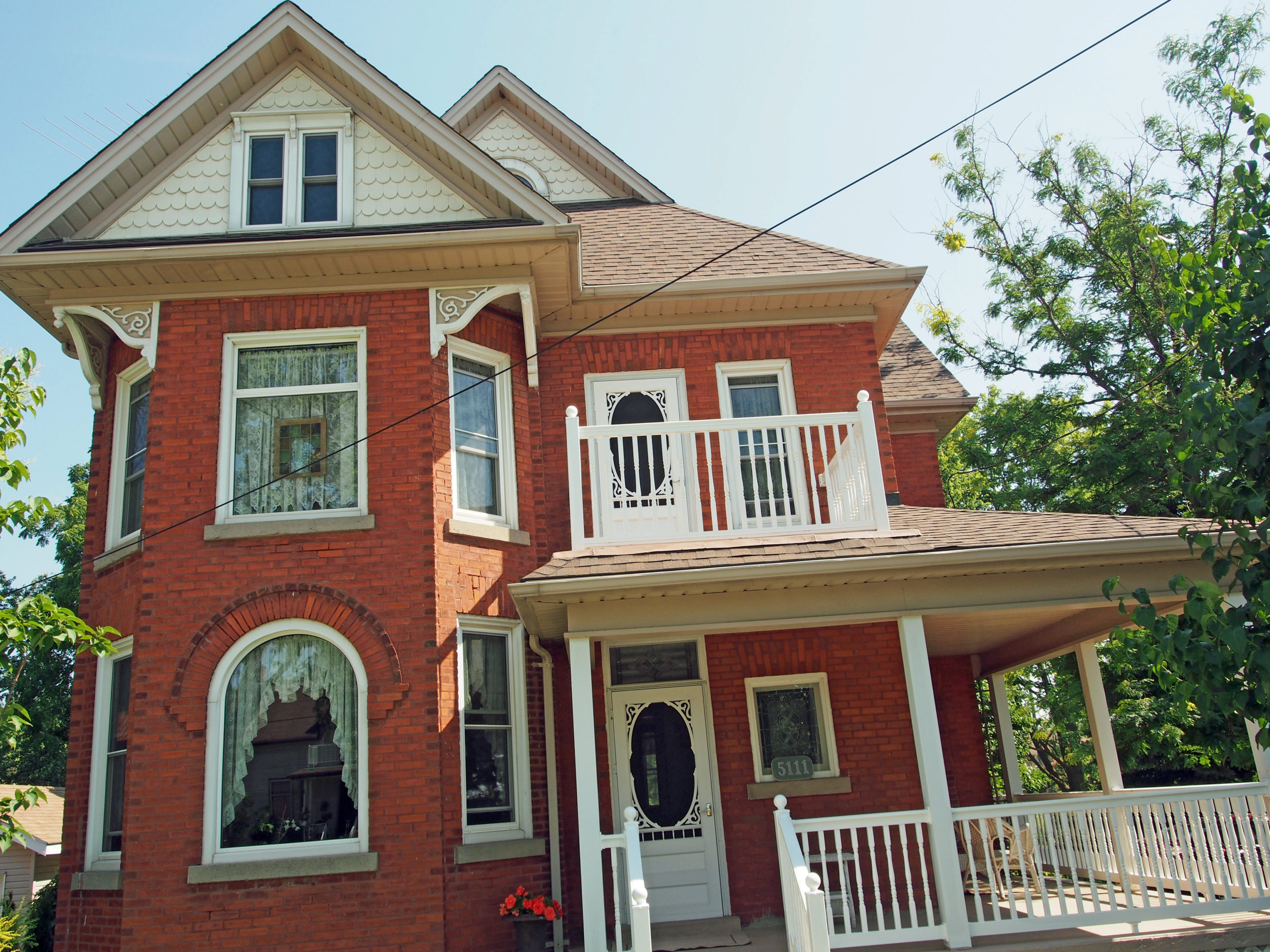
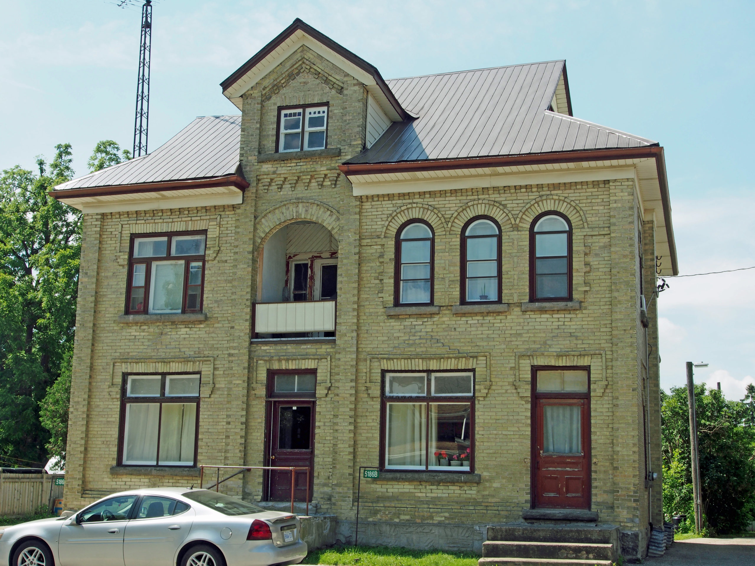
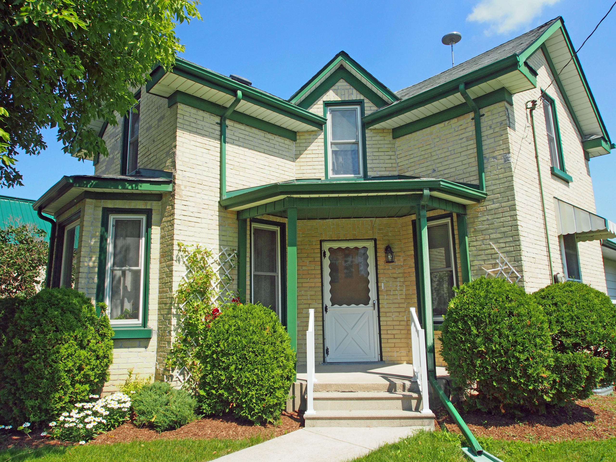
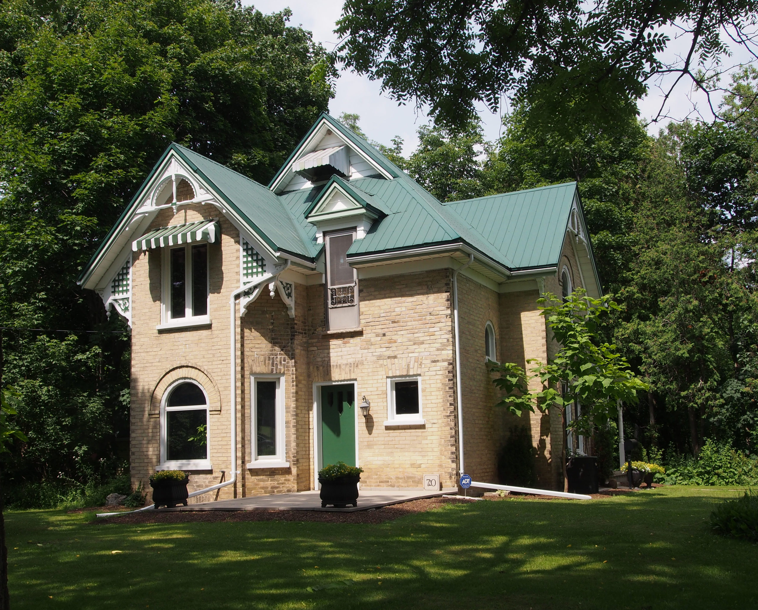
Listowel, Ontario – My Top 6 Picks
Listowel is located in the municipality of North Perth, northwest of Kitchener/Waterloo, and west of Elmira on Highway 86.
Settler John Binning arrived in 1857 and was the first to create a permanent residence in the area. The community was originally named Mapleton, but the name was changed when a post office was established. The new name was chosen by a government official and refers to Listowel, Ireland (a market town in County Kerry situated on the River Feale, twenty-eight kilometers, or seventeen miles, from the county town, Tralee.) The majority of early settlers were of Protestant Irish origin.
In 1871 the Wellington, Grey and Bruce Railway extended its line to Listowel. It was joined in 1873 by a second railway, the Stratford and Huron Railway, and Listowel became an important shipping point. The population doubled when industries, including a woolen mill, a sawmill, a planing mill and a tannery, were established. In 1891 the Morris, Field, Rogers Company Ltd began to manufacture Morris pianos in Listowel.
In 1907, hydroelectric and telephone services came to the town with the Princess cinema. During World War II the theater was renamed the Capitol and remains Canada’s oldest operating cinema.
The Campbell Soup Company was a major local employer for 48 years, operating a frozen, food service and specialty food plant in Listowel. The factory closed in April 2008. The surrounding area is mostly agricultural land located on the Perth Plain, dominated by the beef and pork industries.