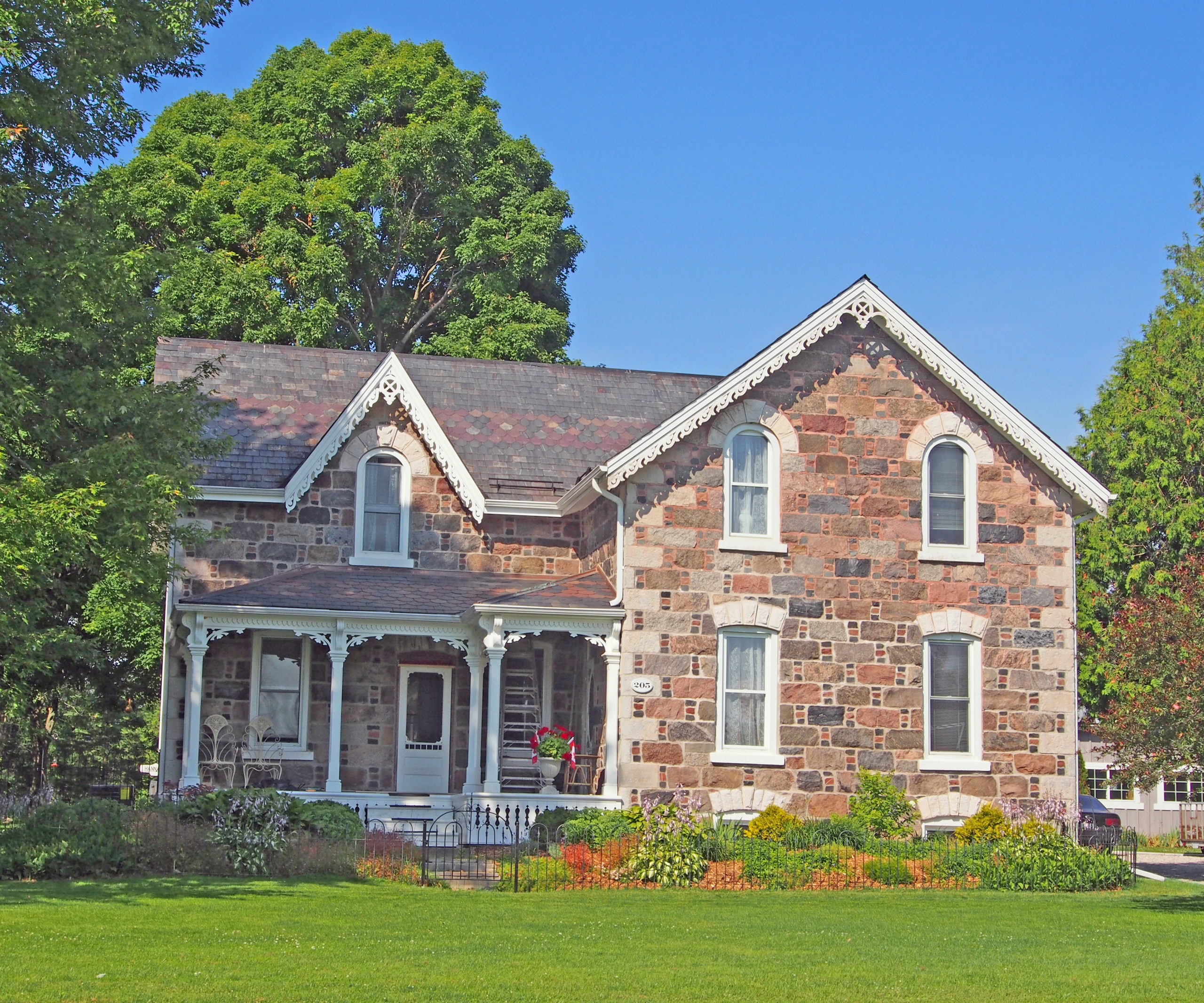
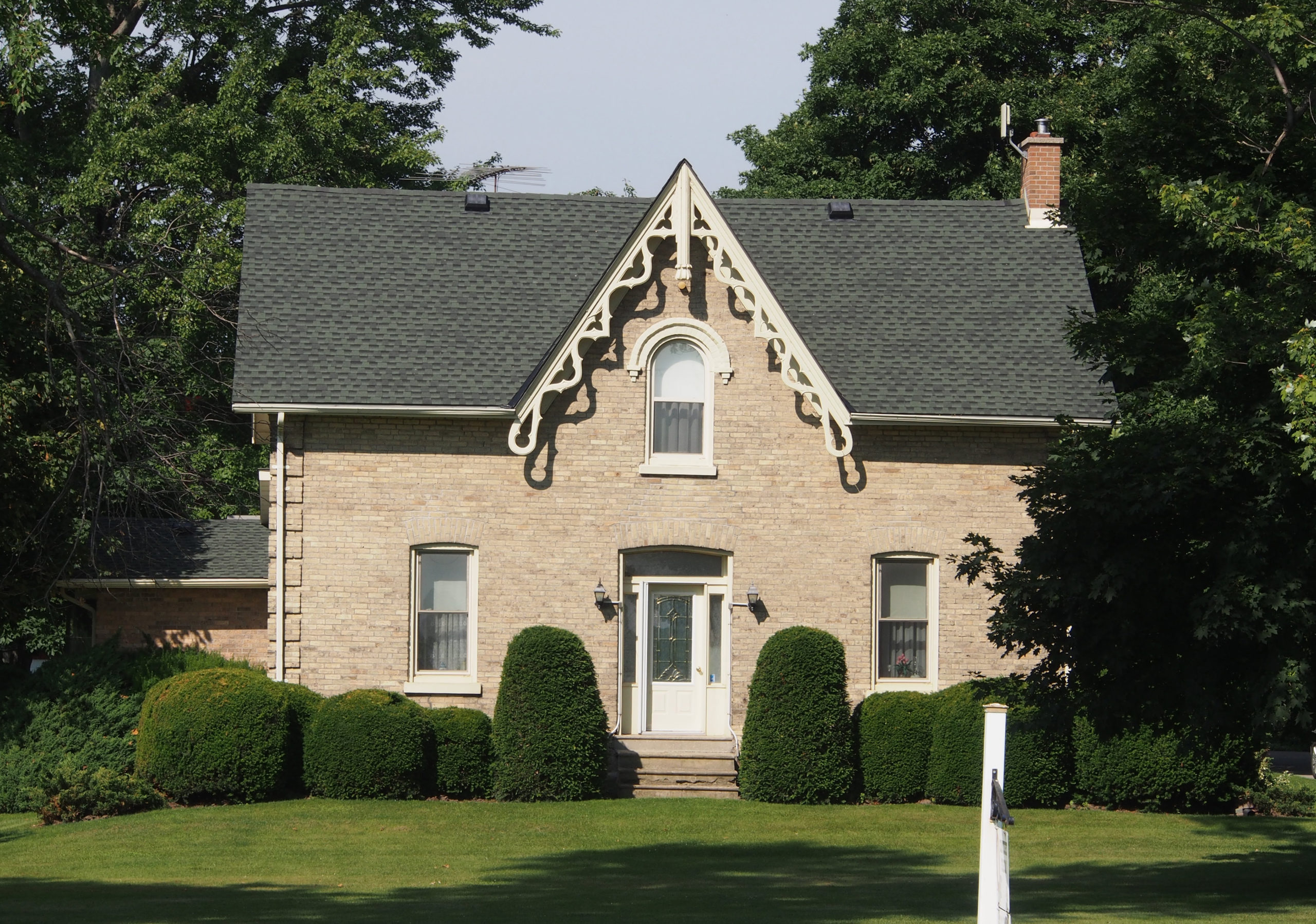
Petrolia, Ontario – My Top 7 Picks
Petrolia is a town in Ontario twenty minutes from Sarnia, and fifty minutes from London.
Following the discovery of oil at Oil Springs in 1857, prospectors extended their search to the entire township of Enniskillen. At the site of Petrolia, which contained two small settlements with post offices named Durance and Ennis, a well was brought into production in 1860. The following year a small refinery was opened and the Durance Post Office renamed “Petroleaâ€. In 1865-66, the drilling of the King well established Petrolia as the major oil producing center in Canada and its population soared from about three hundred to two thousand three hundred.
Oil men from Petrolia traveled to the far reaches of the world (Gobi Desert, Arctic, Iran, Indonesia, the United States, Australia, Russia, and over eighty other countries) teaching others how to find and extract crude oil. Some oil fields in the area are still operational to this day.
Oil enticed people to come here, but Petrolia was created, nurtured, and sustained by hardworking visionaries, shopkeepers, builders, drillers, laborers, and leaders.

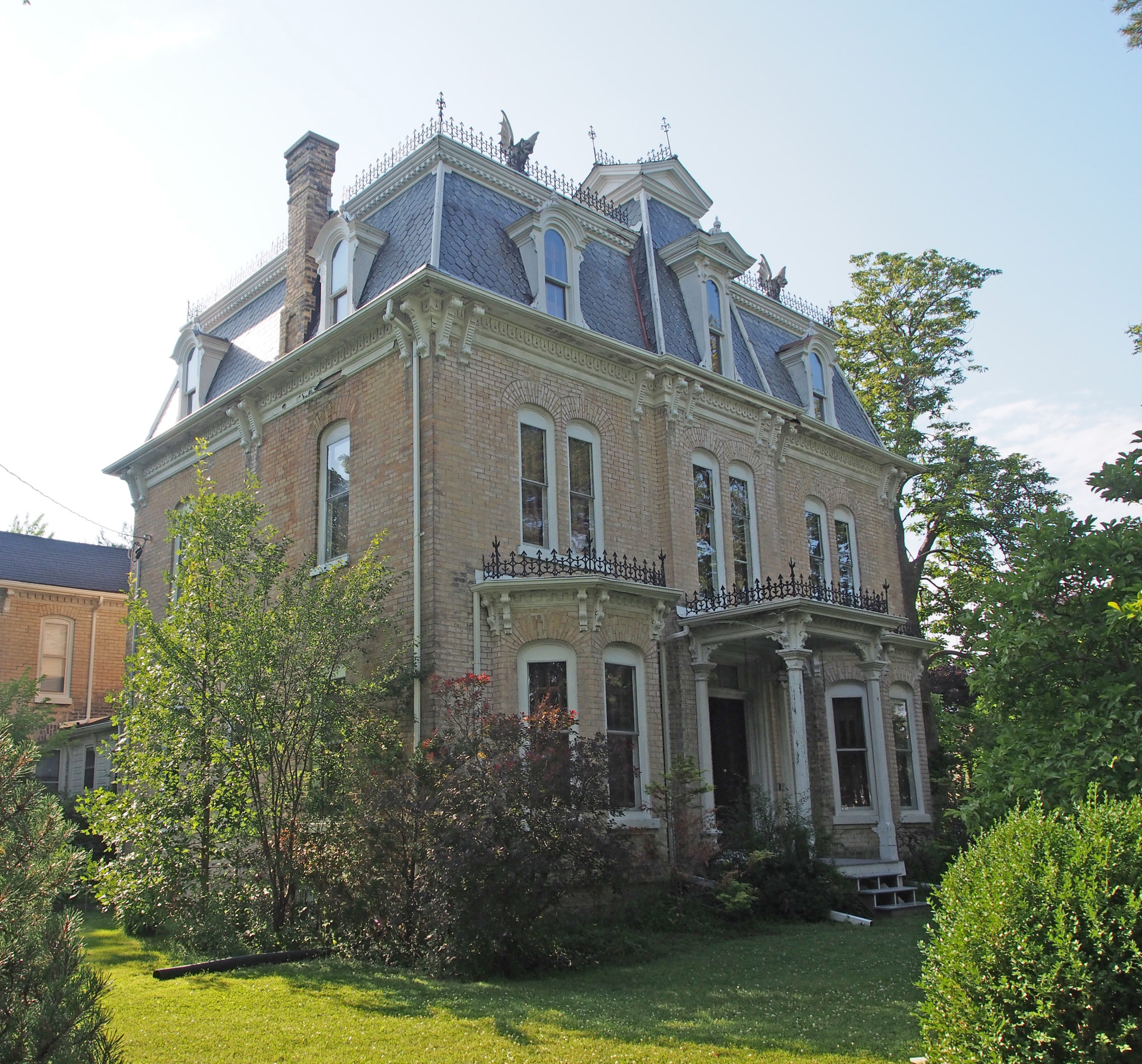
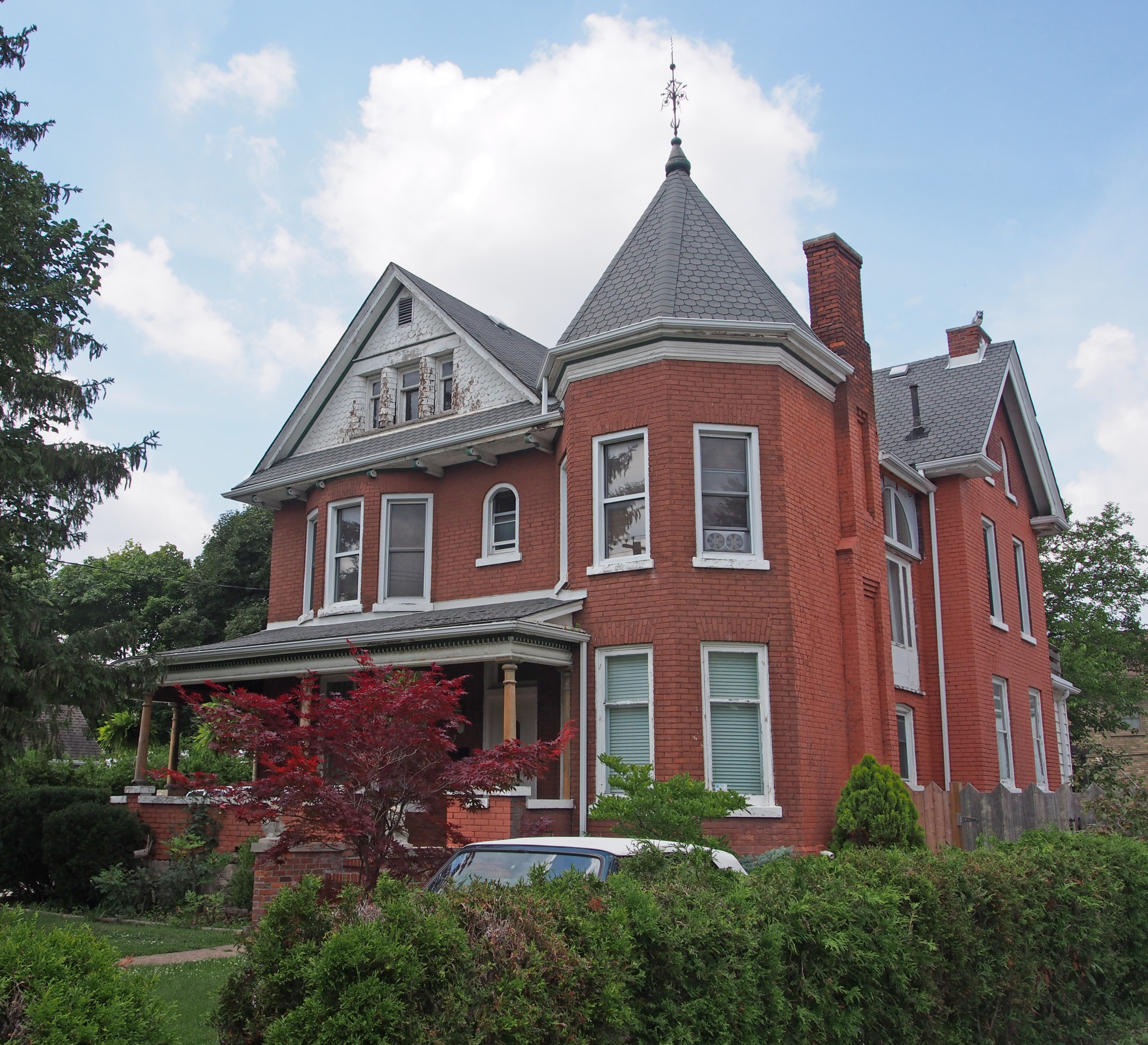
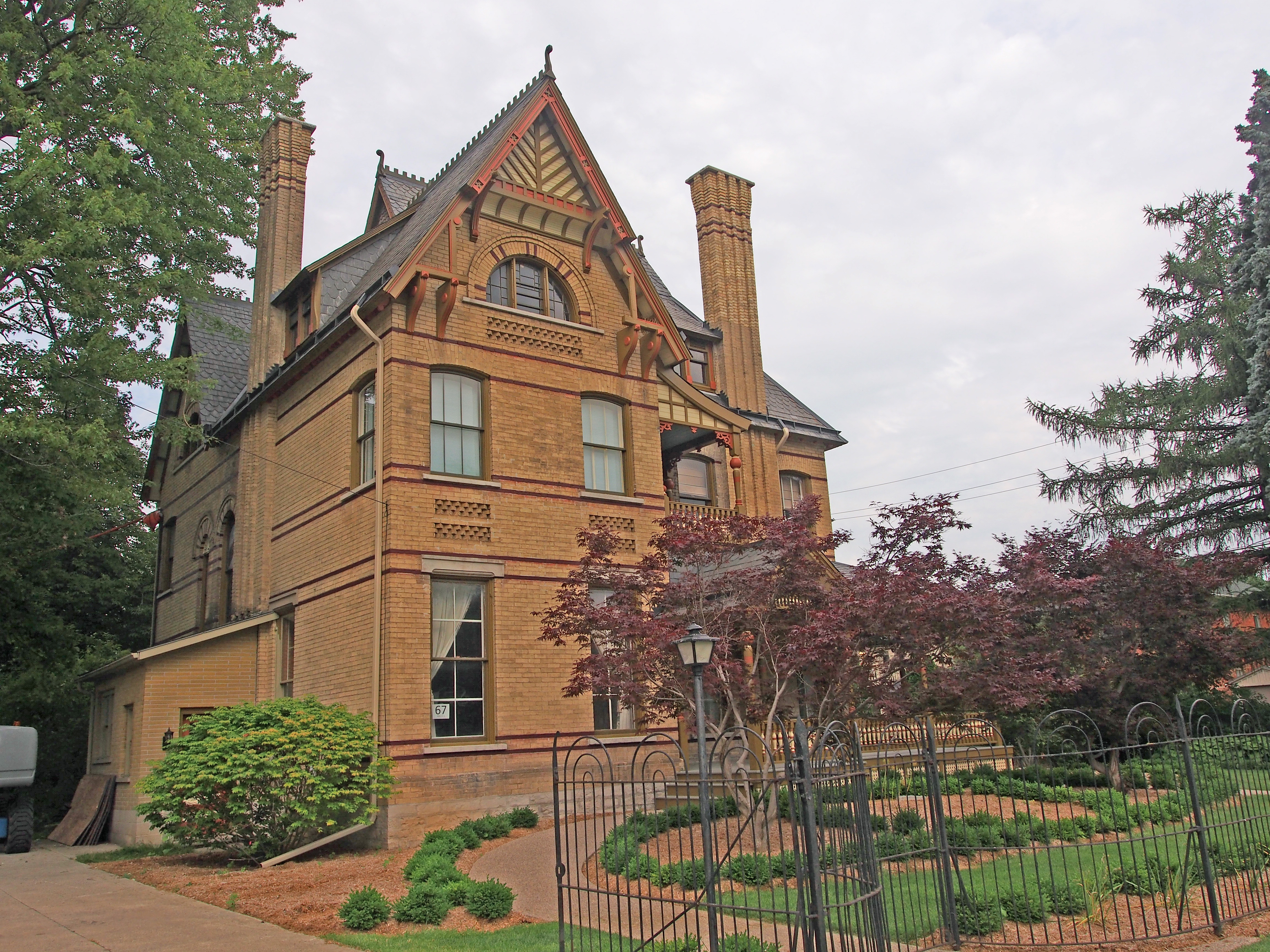
#430 – Italianate, hipped roof, corner quoins, iron cresting on roof (widow’s walk), paired cornice brackets

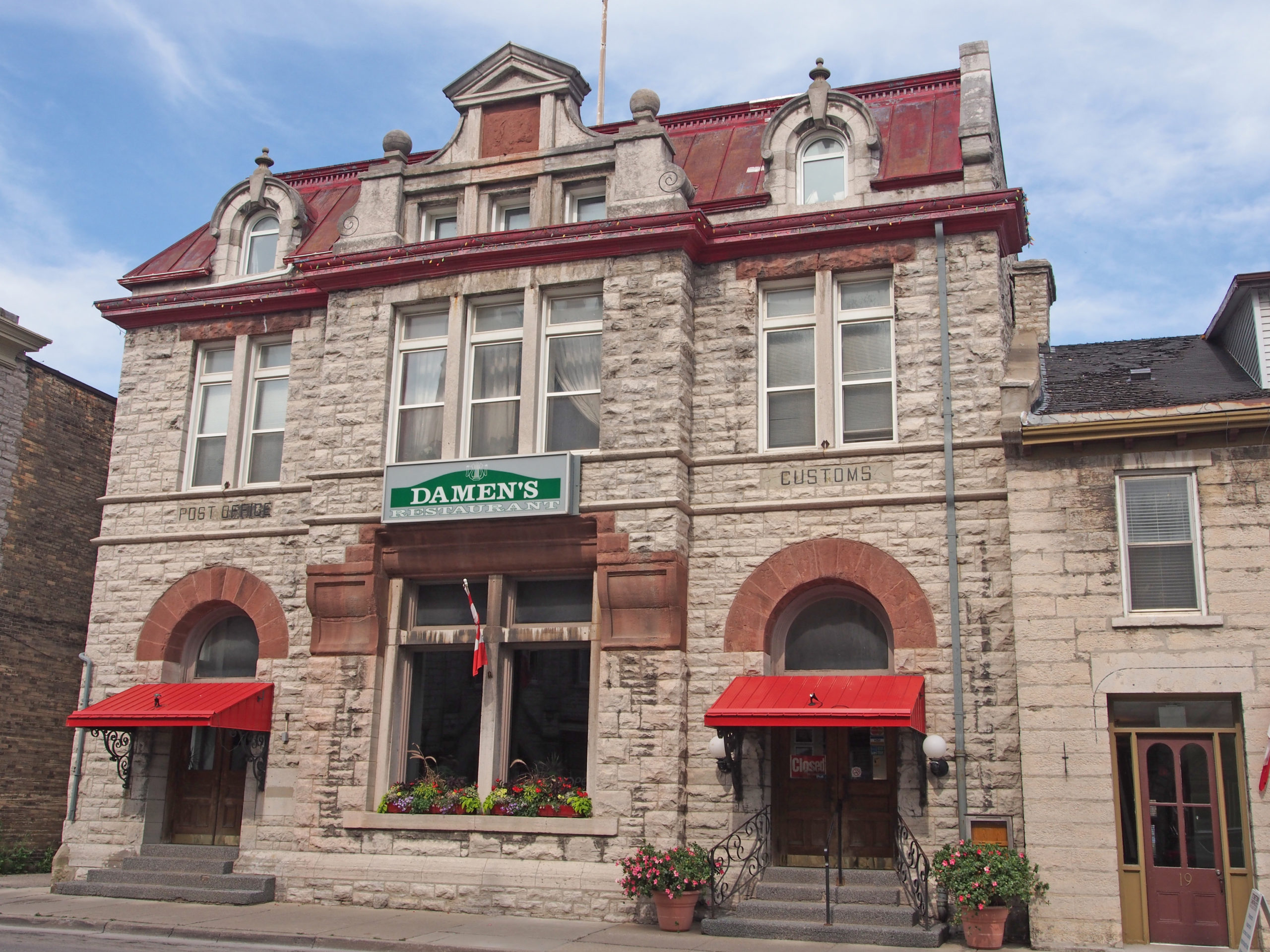
4200 Petrolia Line – The original Grand Trunk Railway Station was built in 1903. Designated heritage building now the Robert M. Nichol Library; turrets on each end, center tower

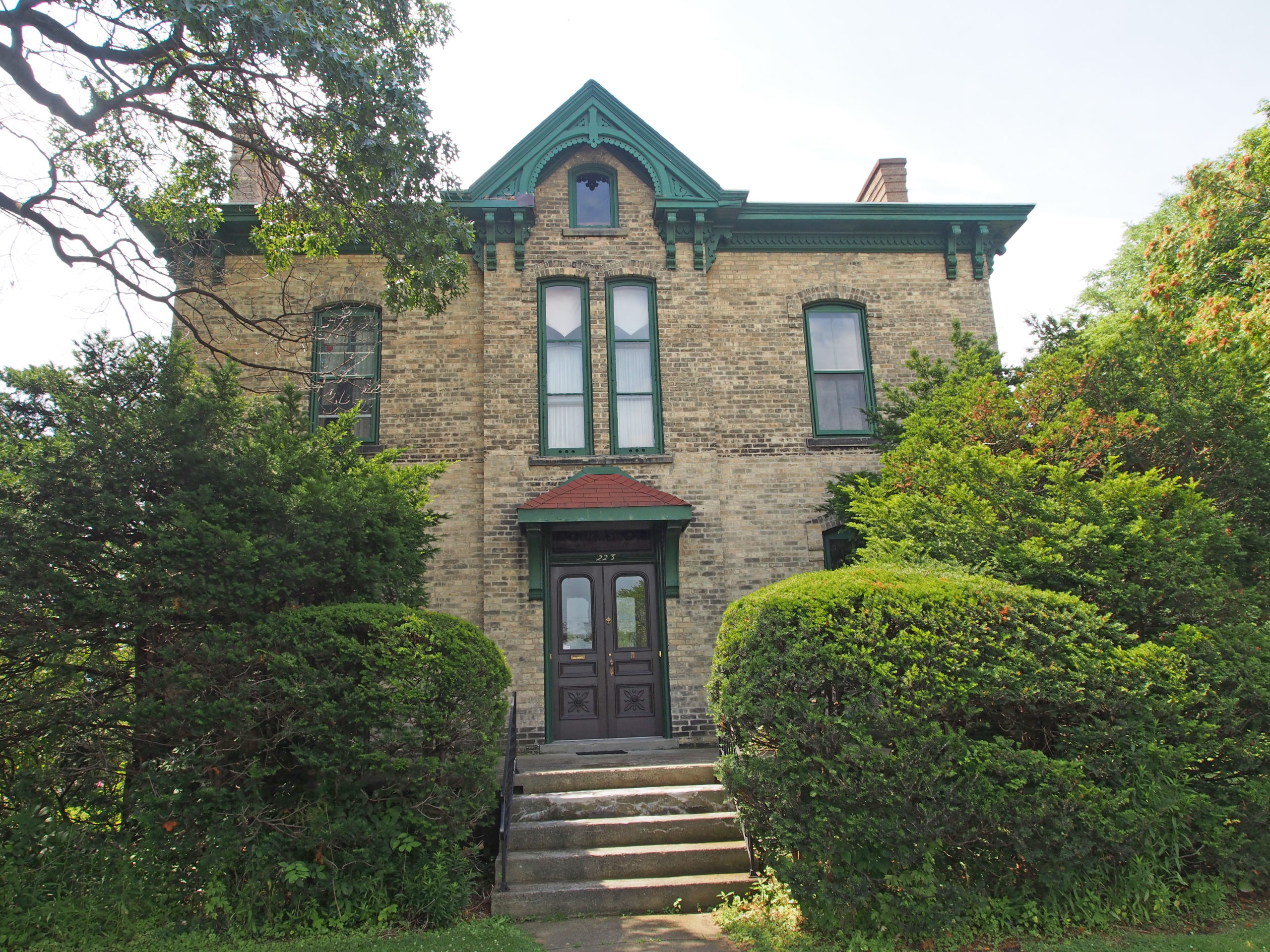
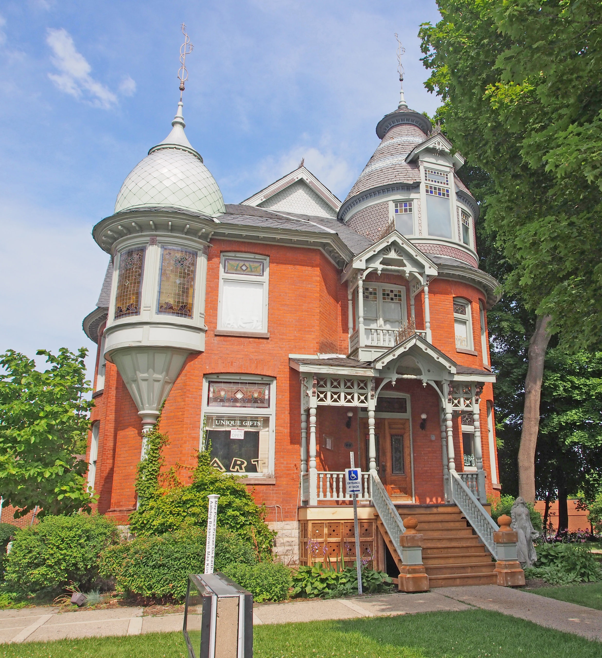
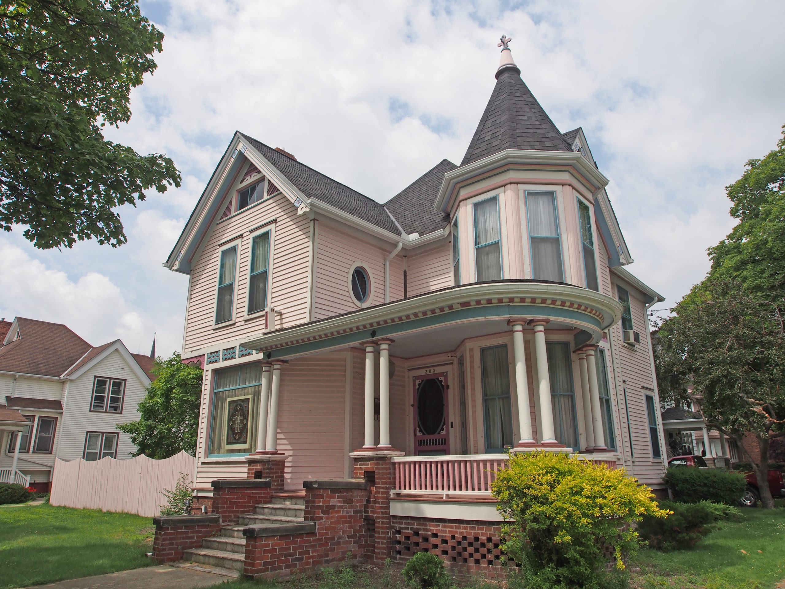
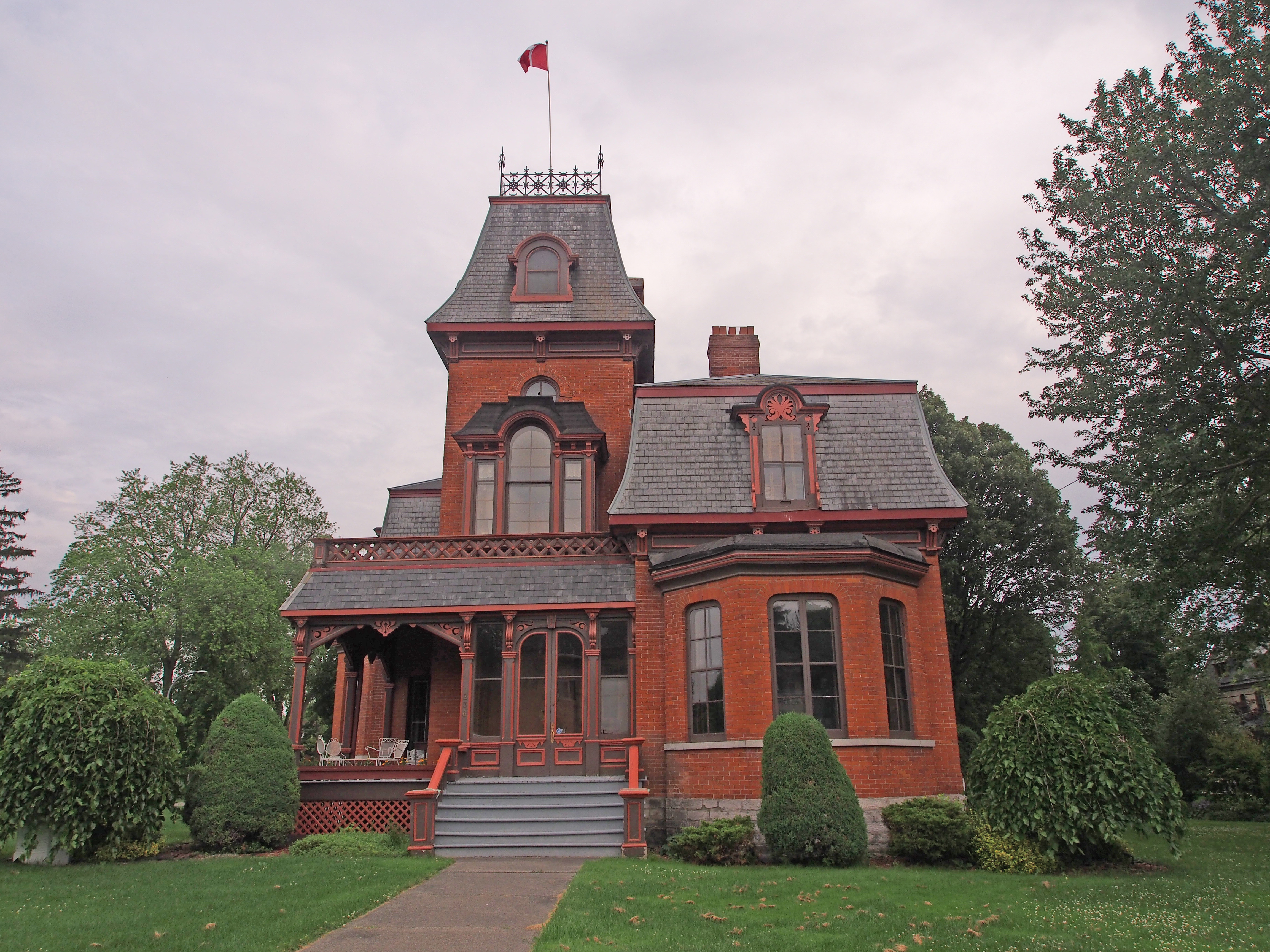
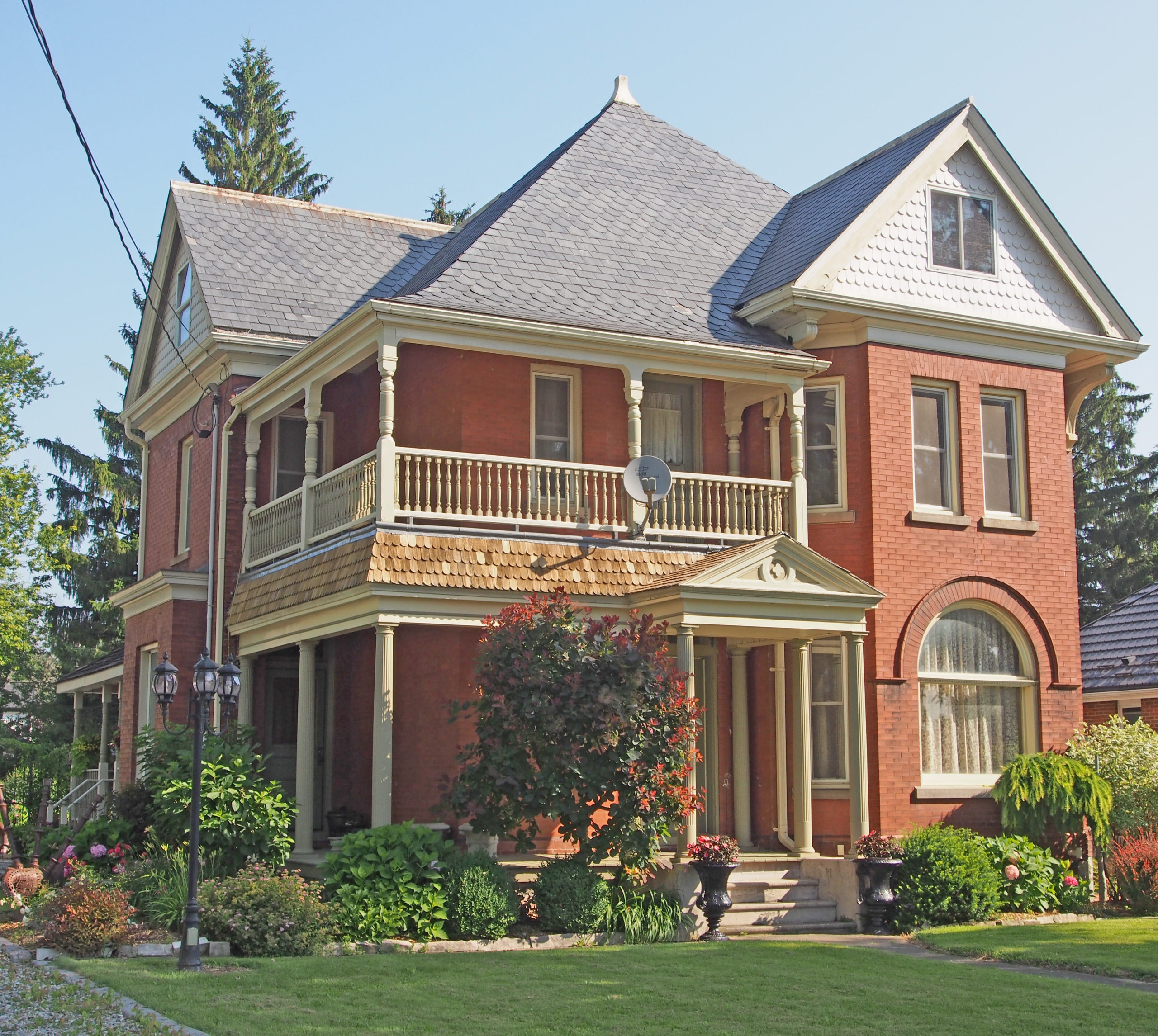
Petrolia Line – Romanesque, three-story turret, decorative iron railing on second floor balcony
Â