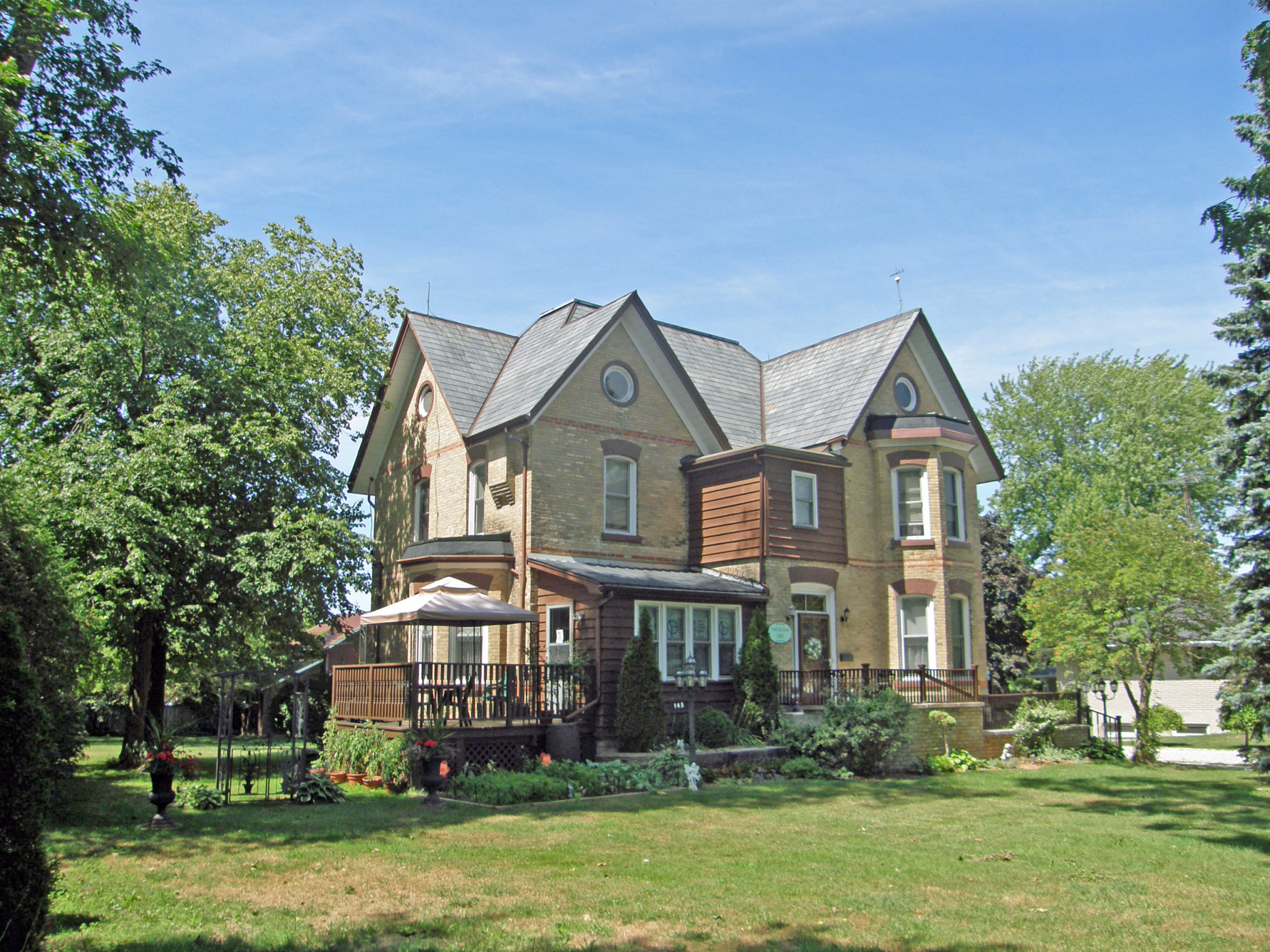
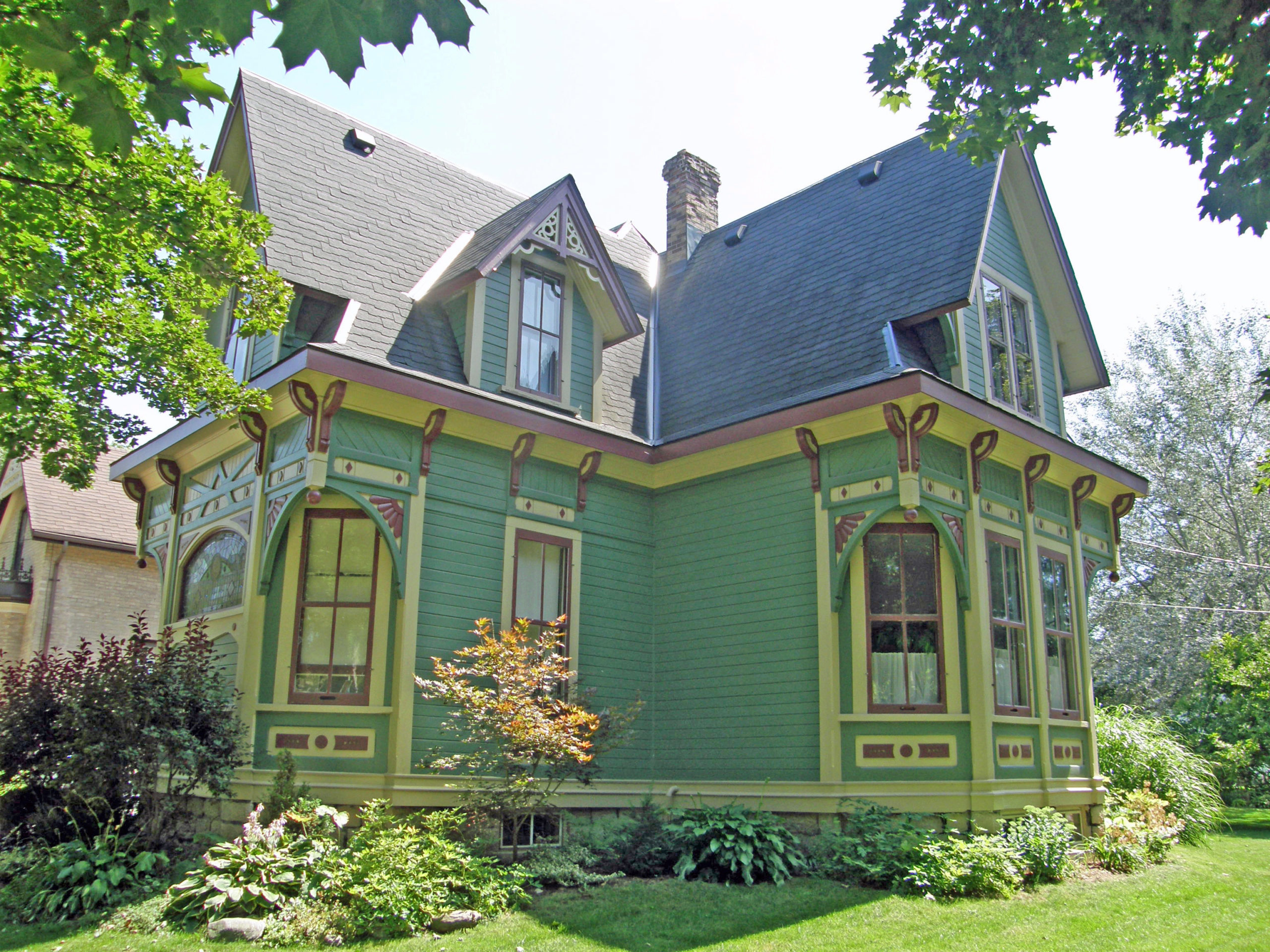
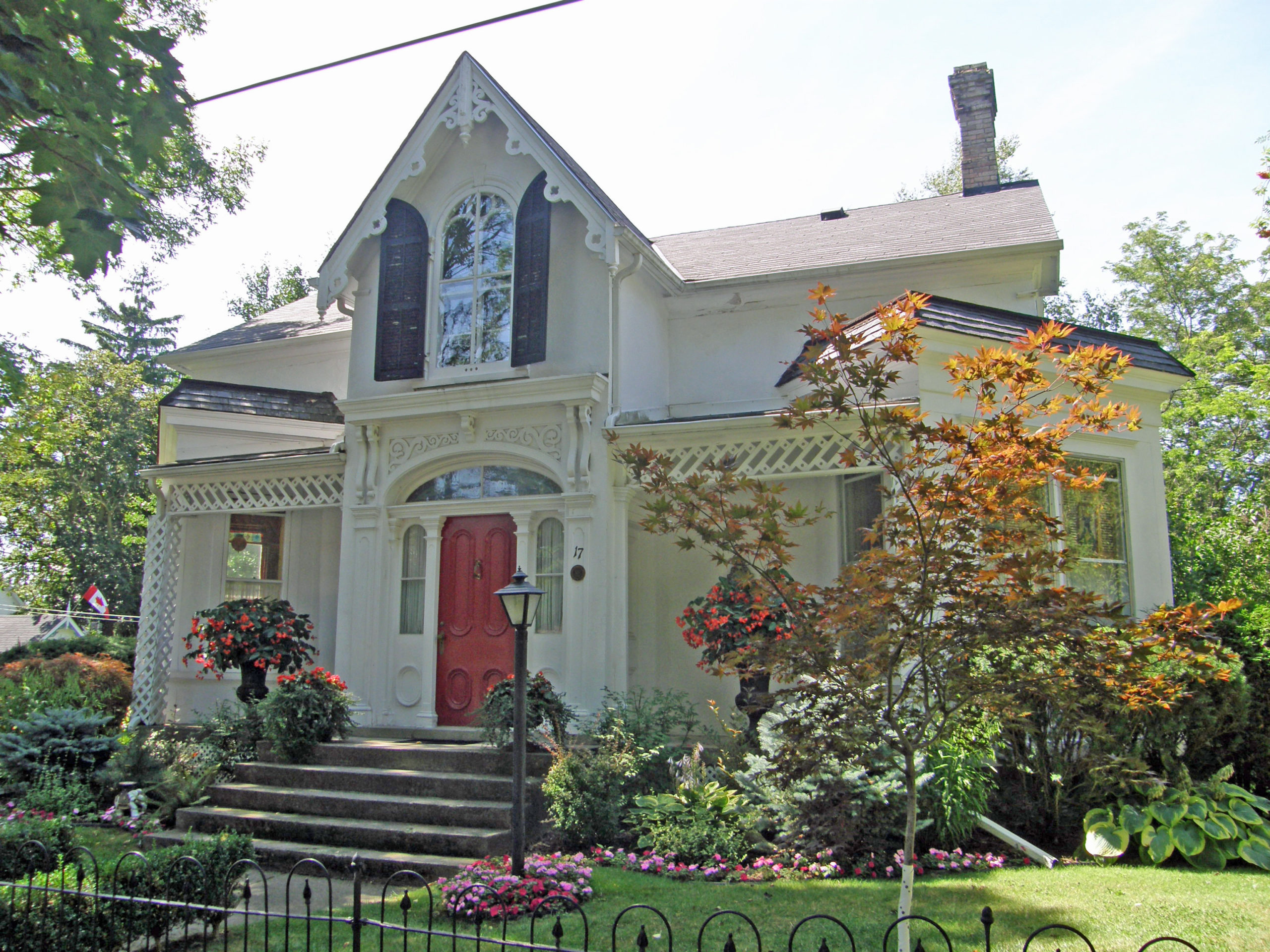
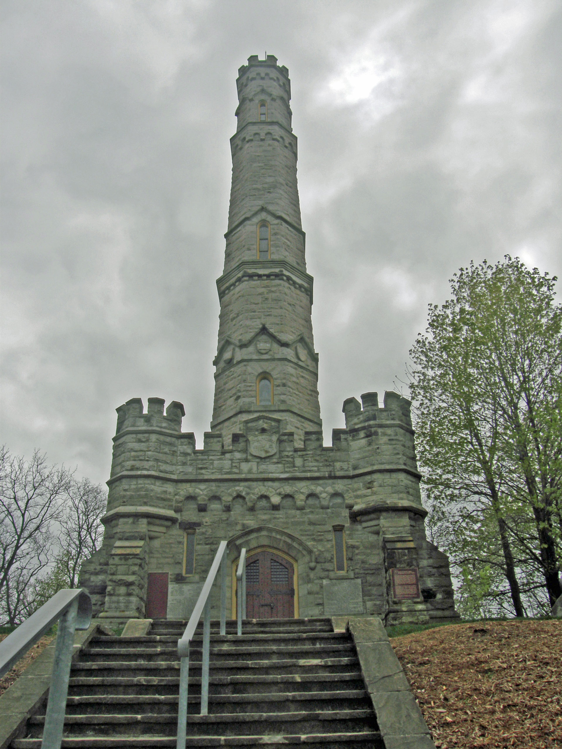
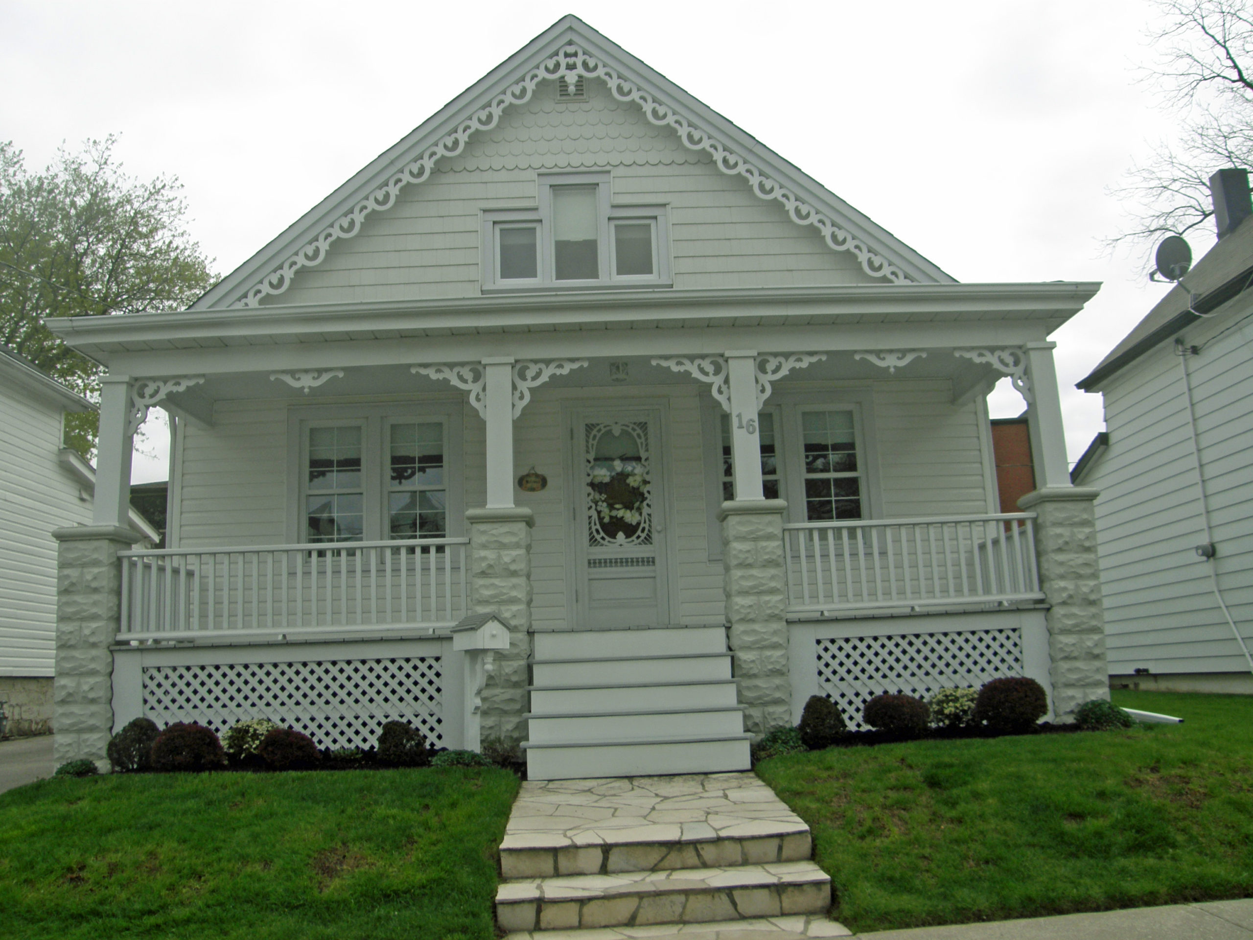
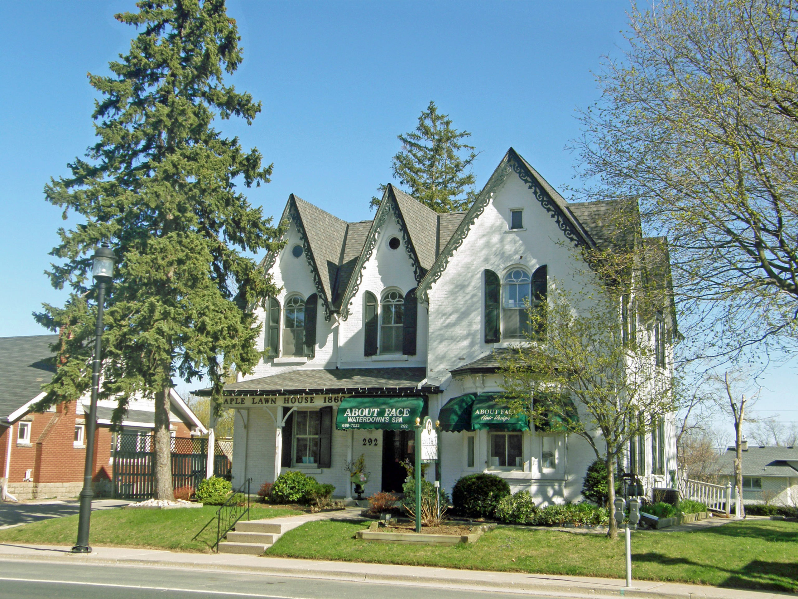
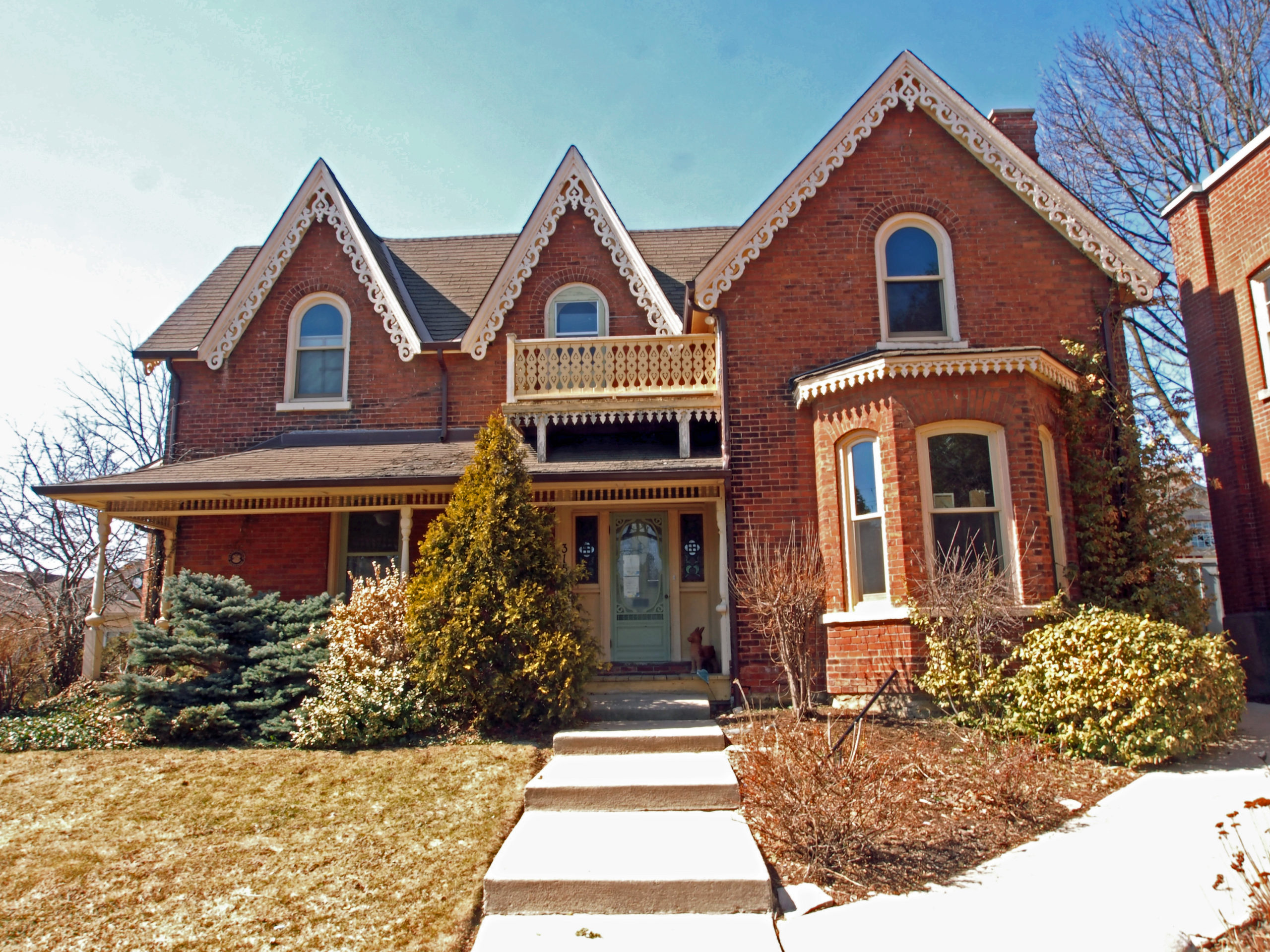
Seaforth, Ontario – My Top 6 Picks
Seaforth is a southern Ontario community in Huron County. Originally known as Four Corners and Steene’s Corners after an early settler, much of the area of what is now Seaforth was acquired by brothers Christopher and George Sparling in anticipation of the construction of the Buffalo, Brantford and Goderich Railway. Developer James Patton of Barrie purchased the land and laid out a town site in 1855.
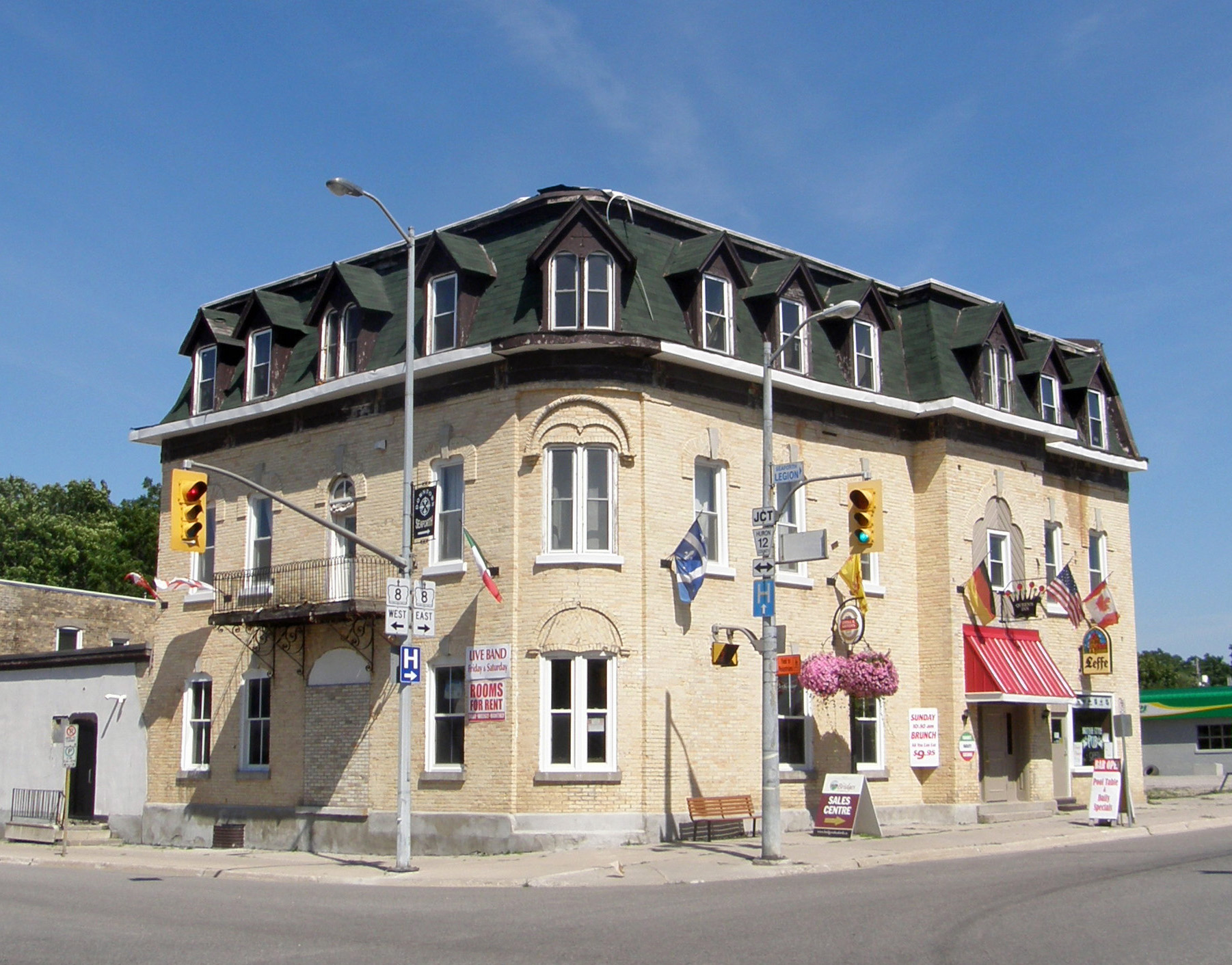
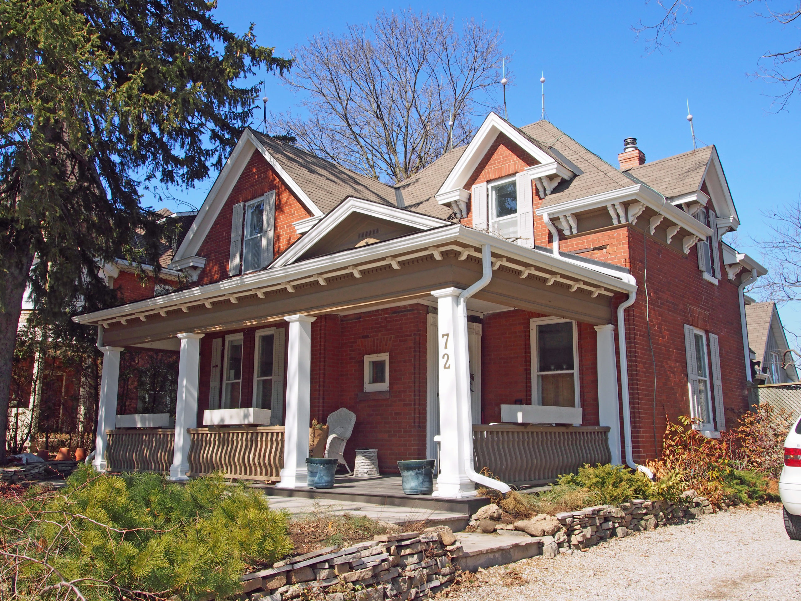
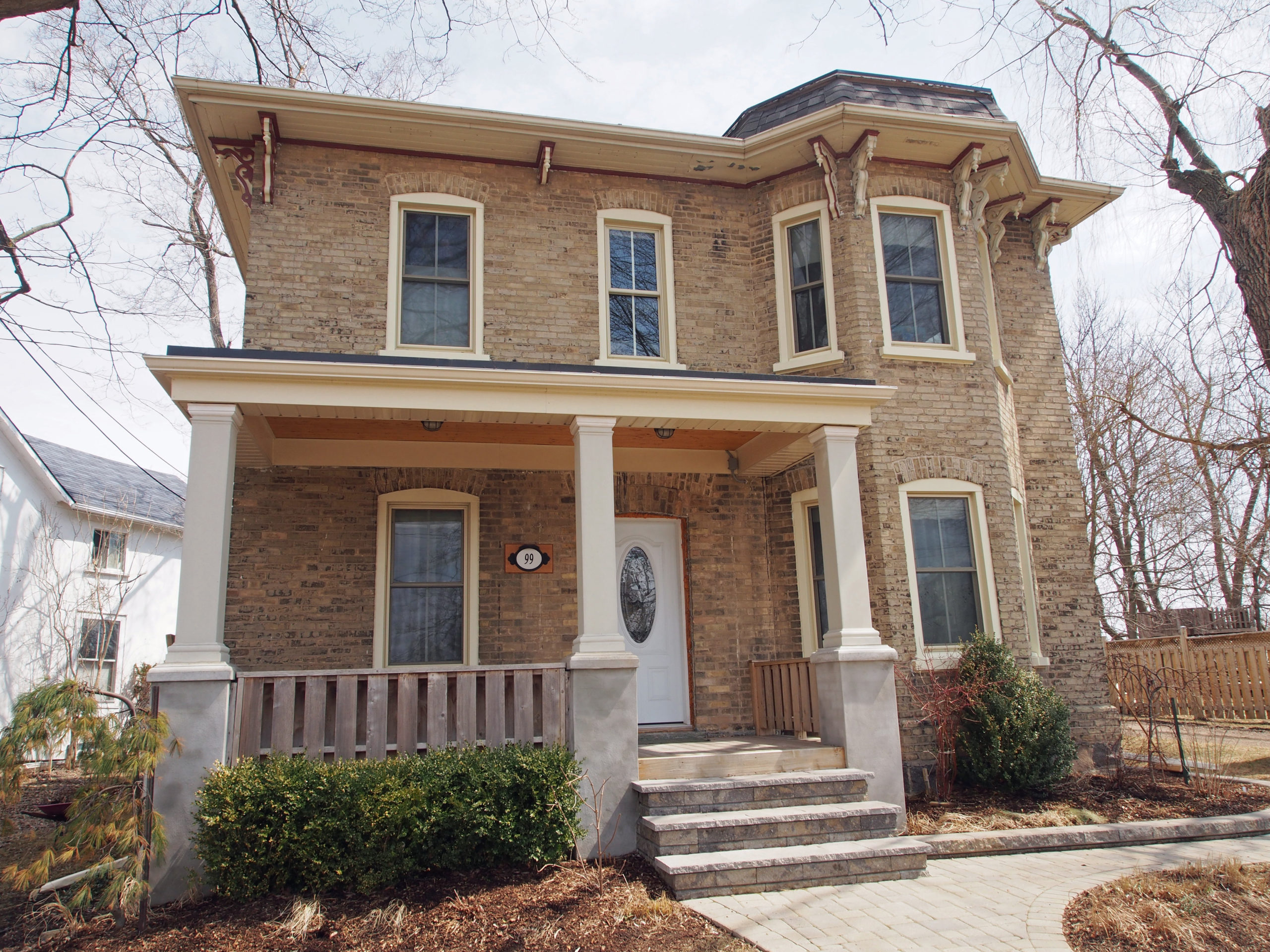
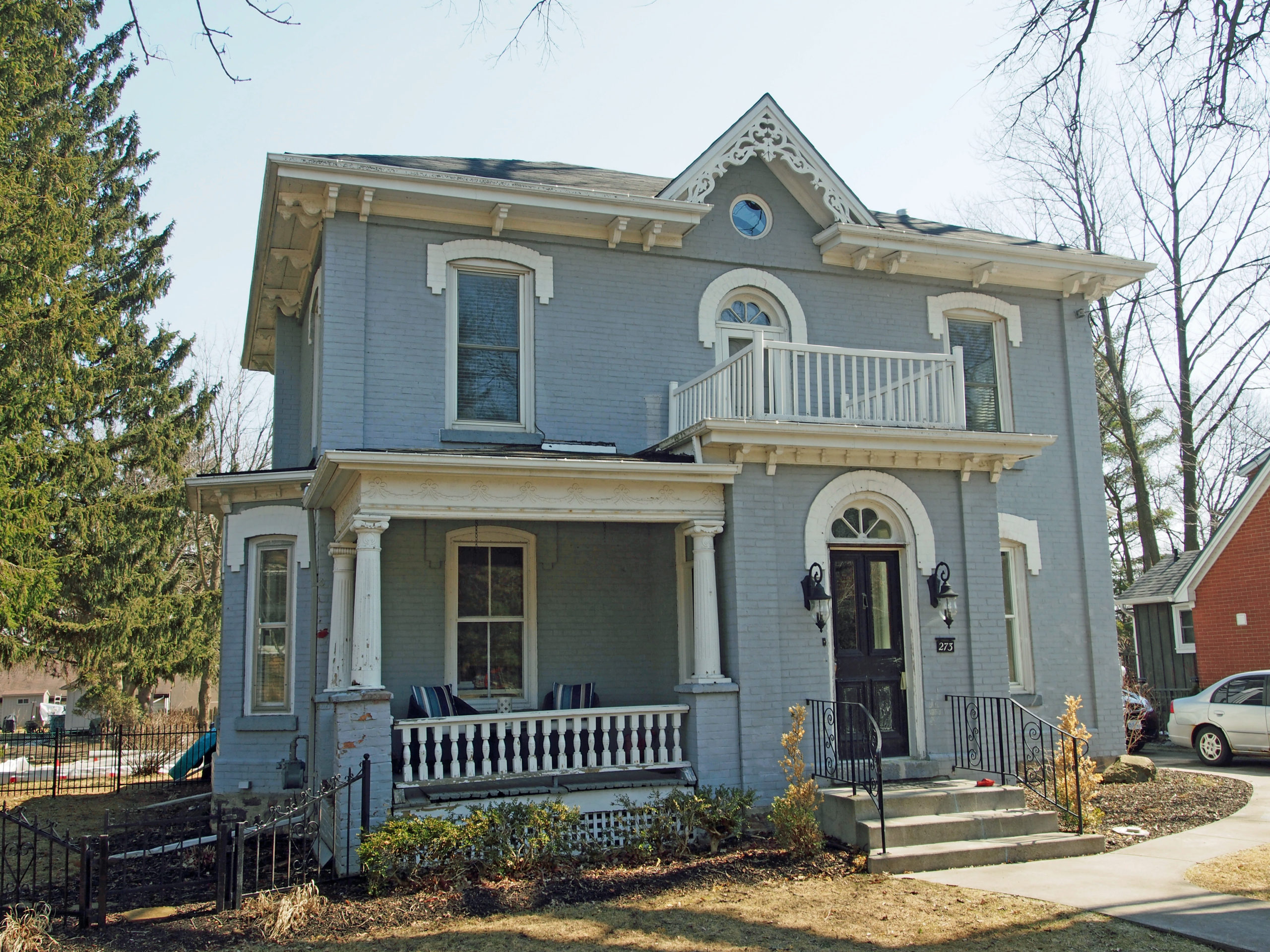
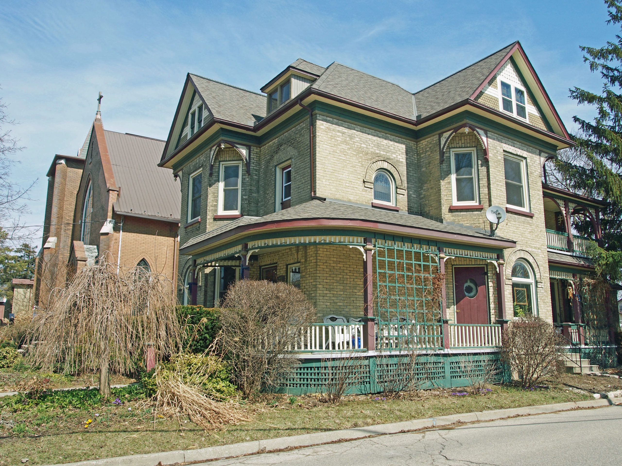
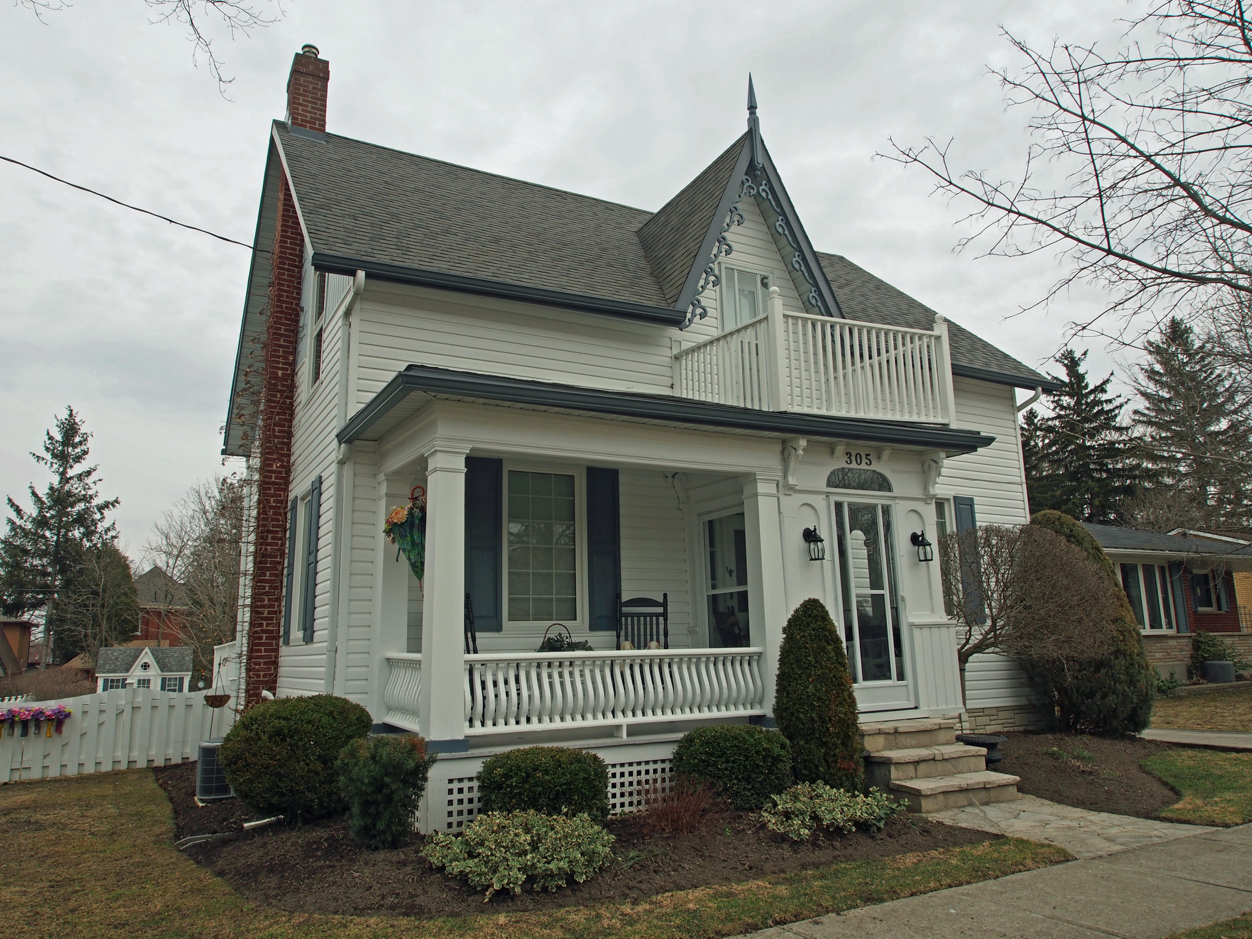
Seaforth’s Main Street is a Provincially Designated Heritage Conservation District, and architectural critics consider it to be one of the finest late 19th century streetscapes remaining in the Province.
In September 1876, at two o’clock in the morning, a fire broke out in Mrs. Griffith’s Candy and Grocery store raging through Main Street destroying 12 acres of the business section. The town rebounded and Main Street was rebuilt with the brick and block structures which we see today, more than a century later. This architectural composition of two storey brick buildings is unique in its uniformity of scale and character. Through grants and local support, property owners have been encouraged to restore and preserve the architectural characteristics of their buildings so that this valuable resource may continue to be a reminder of Seaforth’s history. The street is lined with uniquely homogeneous buildings and you will always know the time from one of the most lavish clocks of its day.
Seaforth was one among many small southern Ontario towns to prosper from a national shift toward an economy based more on industry and manufacturing. Seaforth had many things to recommend it for the site of a new post office building. It was on a direct railway line between the two busy ports of Goderich and Buffalo. The transportation of goods was a main income source for the town, goods such as the products of its salt wells, woolen, flour and flax mills, sawmill, foundry and cabinet factory. It was an important market town and had been a postal station for many years. There were two telegraph offices and two daily newspapers. As an outport of Goderich, Seaforth collected customs revenues as well as post office revenues.
In 2001, Seaforth was amalgamated with Brussels, Grey Township, McKillop Township and Tuckersmith Township to form the Municipality of Huron East.