August, 2019:

Parry Sound, Ontario in Colour Photos – My Top 11 Picks

Parry Sound, Ontario

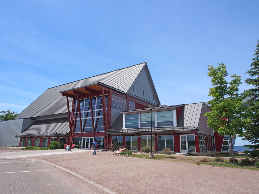
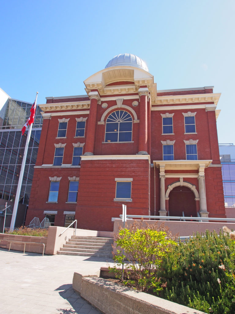
Parry Sound is a located in northern Ontario on the eastern shore of Parry Sound. It is 160 kilometers (99 miles) south of Sudbury and 225 kilometers (140 miles) north of Toronto. It is a popular cottage country region. It has the world’s deepest natural freshwater port.

Muskoka District was named after an Indian Chief, probably Misquuckkey of the Chippawas, who until the treaty of 1815 was lord of this Venetian district of Ontario. While the heavy pine and hardwood forests were still in their primeval beauty, many people including Government agents considered the country was fit for settlement. In 1859 the first land grants were made.

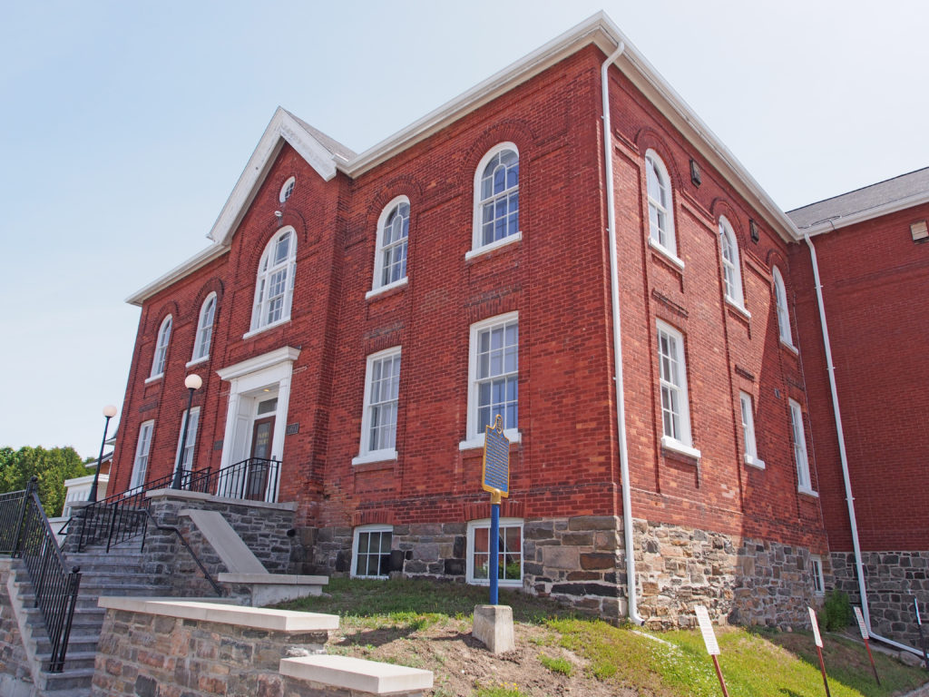
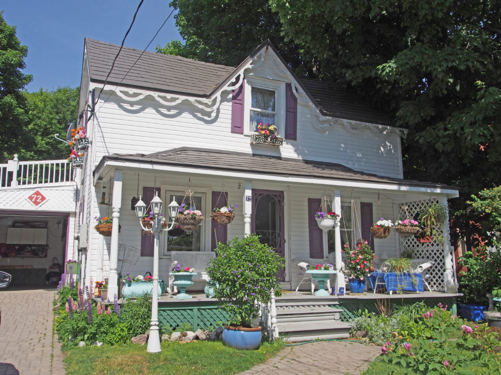
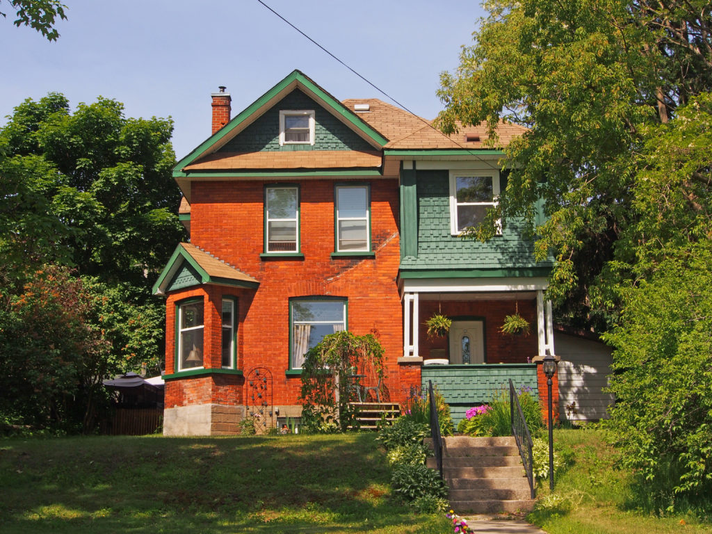
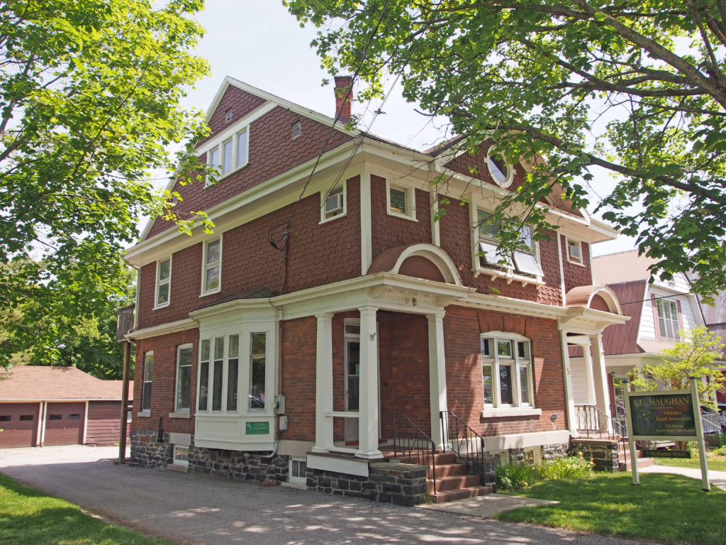
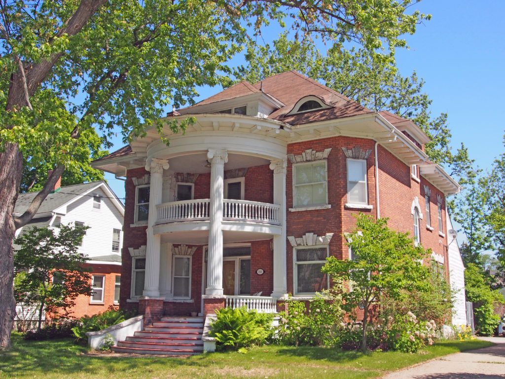
About 1857 James and William Gibson erected a sawmill at the mouth of the Seguin River. William Beatty, with his sons James and William, acquired the mill in 1863, and the following year were granted a license of occupation for two thousand acres. In addition to lumbering, they laid out a town plot, promoted settlement, opened a store, built a church, constructed roads, and operated boats on Lake Huron and a stage service to Bracebridge. William “Governor” Beatty (1835-1898) lived here and managed the family’s enterprises which stimulated the growth of Parry Sound. Incorporated as a town in 1887, it was named in honor of Sir William Edward Parry, noted Arctic explorer.

During the early part of the 20th century, the area was a popular subject for the many scenic art works of Tom Thomson and members of the Group of Seven.

The eastern coast of Georgian Bay where Parry Sound is located is known as the “30,000 Islands” and is considered the world’s largest freshwater archipelago. It covers 347,000 hectares of shoreline ecosystem, and over 100 species of animals and plants that are at risk in Canada and Ontario, including unique reptiles and amphibians.

Architectural Photos, Parry Sound, Ontario
89 James Street – Court House – 1871
Architectural Photos, Parry Sound, Ontario
18 Belvedere Avenue – Palladian window in gable, second-floor balcony
Architectural Photos, Parry Sound, Ontario
1 Belvedere Avenue – 1907 – two-storey tower, dormer in attic
Architectural Photos, Parry Sound, Ontario
10 Gibson Street – Bayside Inn
Architectural Photos, Parry Sound, Ontario
72 Gibson Street – verge board trim – Gerda’s Bed and Breakfast
Architectural Photos, Parry Sound, Ontario
Church Street – bay window with pediment, fish scale patterning
Architectural Photos, Parry Sound, Ontario
5 McMurray Street – bay window on side, semi-circular pediments
Architectural Photos, Parry Sound, Ontario
25 Mary Street – Parry Sound Bikes – Heritage Property – 1893
Architectural Photos, Parry Sound, Ontario
22 Bay Street – Bay Street Café
Architectural Photos, Parry Sound, Ontario
2 Bay Street – Charles W. Stockey Centre for the Performing Arts overlooks Georgian Bay and has a 415 seat acoustically perfect performance hall. The Bobby Orr Hall of Fame is an interactive sports heritage museum paying tribute to home-town hockey legend, Bobby Orr, and other exceptional athletes with connections to Parry Sound.
Architectural Photos, Parry Sound, Ontario
Parry Sound Scenic Lookout Tower offers spectacular views of the harbor and Georgian Bay. Climb 30 meters up a historic fire observation tower to enjoy a spectacular 360 view of Parry Sound.

North Bay, Ontario in Colour Photos – My Top 11 Picks

North Bay, Ontario

North Bay is a city in Northeastern Ontario about 330 kilometers (210 miles) north of Toronto. It differs in geography from Southern Ontario because North Bay is situated on the Canadian Shield which results in a more rugged landscape. North Bay straddles both the Ottawa River watershed to the east and the Great Lakes Basin to the west. The city’s urban core is located between Lake Nipissing and the smaller Trout Lake.

In 1882, John Ferguson decided that the north bay of Lake Nipissing was a promising spot for settlement. Apart from Indigenous people, voyageurs and surveyors, there was little activity in the Lake Nipissing area until the arrival of the Canadian Pacific Railway (CPR) in 1882. North Bay was selected as the southern terminus of the Temiskaming and Northern Ontario Railway (T&NO) in 1902 when the Ross government took the bold move to establish a development road to serve the Haileybury settlement. During construction of the T&NO, silver was discovered at Cobalt and started a mining frenzy in the northern part of the province that continued for many years. The Canadian Northern Railway was built to North Bay in 1913.

North Bay grew through a strong lumbering sector, mining and the three railways in the early days.

Born in France about 1598, Jean Nicolet, explorer, fur trader, and interpreter came to Canada in 1618. Under orders from Samuel de Champlain, he spent the following two years with the Algonquins of Allumette Island. He was then sent to the Nipissing Indians of this area and dwelt among them for at least eight years, learning their language, adopting their customs, and strengthening their alliance with the French. Nicolet is credited with the discovery of Lake Michigan which he explored as far south as the head of Green Bay in 1634. He later settled in Trois Rivieres. He drowned in the St. Lawrence in 1642.

The rivers and lakes of northern Ontario have been highways for travel and commerce for hundreds of years. First nations and European explorers used Lake Nipissing for transporting their furs. When the railroad reached the area in the 1880s, settlers and timber were transported across the lake.

Architectural Photos, North Bay, Ontario
374 Fraser Street – Angus Block – 1914 – This building is noted for its parapet at the roof line and for its highly distinctive white stone window surrounds consisting of stepped lintels, quoined jambs and flat sills. Other notable features include the toothed heading of the in-stepped brick facing and bracketed canopy over the third-floor paired openings. The date stone indicates that H.W. Angus, an early architect in North Bay, was responsible for its design and erection.
Architectural Photos, North Bay, Ontario
100 Ferguson Street – former Canadian Pacific Railway Station – 1903 – Entry of British Columbia into Confederation in 1871 led to the establishment of the CPR as the initial continental railway linking the country’s east and west coasts, completed in 1885. In 1881 the railway located their divisional services and regional headquarters on the shore of Lake Nipissing, where the City of North Bay subsequently sprang up. The stone masonry is of a variegated light beige color of split-faced finish, laid in a random-coursed pattern. The corner and intermittent piers and window surrounds are of a uniform darker brown tone of flat-faced finish, laid in a level course pattern. Most openings at ground floor level are of the Romanesque round-head arched style. A wide bracketed canopy projects on all sides at the second-floor level, offering protection from the weather to passengers, their luggage, and accompanying freight. The Canadian Pacific Railway reached North Bay in 1882 and the area became a crucial junction point between east and west rail traffic. In 1901, the CPR made North Bay the District Divisional headquarters; repair shops began to dominate the North Bay waterfront. The site eventually housed an eighteen-stall engine house, freight and flour sheds, carpenter and car repair shops, ice houses, a yard office, railway stores, and the engineer booking office. There was also a vast locomotive shop used to repair steam engines. At its peak, the yard could hold two hundred railroad cars and it contained twenty-five miles of track. During the 1940s, four transcontinental trains a day came through the yards. To the west of the main depot was a well-maintained grassy park with numerous flower gardens and trees.
Architectural Photos, North Bay, Ontario
200 First Avenue West – Former Normal School/Teacher’s College opened in 1909 with an enrollment of 25 students and continued in operation until 1972. This design is exemplary of the architectural influence of the Edwardian style. The observatory-like dome, the elaborate cornices and the formal entrance are three main characteristics of the building.
Architectural Photos, North Bay, Ontario
135-137 First Avenue West – 2½-storey bays with Tudor timbering in gables, diamond window panes
Architectural Photos, North Bay, Ontario
183 First Avenue West РNorth Bay Masonic Temple was built in 1928 and was first used as a meeting and dance hall. During the Second World War it served as a center for medical examinations of those local residents contemplating military service. The building is Neo-Classical in style with a symmetrical front fa̤ade. The outstanding architectural features of this building include the engaged piers and stepped parapet carried by the entablature. The grand stone entranceway expresses the major function of this structure as an assembly hall.
Architectural Photos, North Bay, Ontario
406 McIntyre Street West – two-storey bay with octagonal capped roof, dormer
Architectural Photos, North Bay, Ontario
590 McIntyre Street West РBrowning Residence РConstructed in 1902, it was originally occupied by Crown Prosecutor A.G. Browning and his family. It is set on a large corner lot at Murray Street, among mature trees. A strong symmetry of the main fa̤ade was originally developed in a three-bay roofed front porch at ground floor level leading to the main entry, above which is a second-floor bay window whose structure extends through the main roof eave to form a unique mini-balcony centered on a third-floor windowed gable. This symmetry is offset by a three-story gabled wing on one side, and the wrap-around porch terminating at a corner bay on the Murray Street side.
Architectural Photos, North Bay, Ontario
658 McIntyre Street West – The Bourke Residence was built in 1907. The structural, yet decorative columns and the boxed-in triangular pediment over the porch area are strong elements of the design. The two-story bay windows and the wraparound porch are also distinctive. Symmetry is established, centered on the main entrance, in the access stair, the pediment enhanced porch, and the second-floor balcony. The windowed gable at the attic level is centered independently on the main front wing of the L-shaped structure. The home was once the residence of the first Mayor of the City of North Bay, John Bourke.
Architectural Photos, North Bay, Ontario
768 McIntyre Street West – The Beamish Residence was constructed in 1907. The two-story front porch is large and has Ionic columns. It has a hipped roof with wave-form dormer windows. A strong symmetry is centered on the two-story wood porch between matched masonry bays. The fanned steps of the main entry are very generous in scale, and thus appropriately related to the proportions of the entire front façade. The front entrance is the only item that is off center. A well-preserved home of majestic stature, it was once the original residence of a local merchant, Mr. Beamish. Mr. Jack Shaw, former North Bay Mayor, also resided here. Mr. Arthur Cavanaugh, former manager of Ontario Northland Railway, lived in this house from 1940-1950.
Architectural Photos, North Bay, Ontario
610 Copeland Avenue – The Milne Residence is an impressive home located on an unusually large lot. It was built for William Milne Sr. in the early 1900s. Milne was the owner of Wm. Milne & Sons Lumber Company which was located at the present site of the Ministry of Natural Resources on Trout Lake Road from the early 1900s to 1944. Milne was also a former alderman and Mayor of North Bay in 1909 and 1910. The house is set back on the property. The large side yard housed a tennis court during the first two decades of the house. The exterior is simple, but the structure is reminiscent of the local history of the lumber and crafts industry. The exterior walls are sheathed with shiplap-type wood siding. The roof is sheathed in wood shingles. The veranda, which wraps around the front and side of the home, once extended to the rear of the home as well, but it was later removed.
Architectural Photos, North Bay, Ontario
North Bay Heritage Carousel – Of course, I had to have a ride on it while I was there!

Sudbury, Ontario in Colour Photos – My Top 4 Picks

Sudbury, Ontario

Greater Sudbury is the largest city in Northern Ontario. Sudbury was founded in 1883 following the discovery of nickel ore during the construction of the transcontinental railway. The people live in an urban core and many smaller communities scattered around three hundred lakes and among hills of rock blackened by smelting activity. Mining and related industries dominated the economy for much of the twentieth century. The two major mining companies which shaped the history of Sudbury were Inco, now Vale Limited, which employed more than 25% of the population by the 1970s, and Falconbridge, now Glencore. Sudbury has since expanded from its resource-based economy to emerge as the major retail, economic, health and educational centre for North-eastern Ontario.

The city recovered from the Great Depression much more quickly than almost any other city in North America due to increased demand for nickel in the 1930s. Sudbury was the fastest-growing city and one of the wealthiest cities in Canada for most of the decade. Many of the city’s social problems in the Great Depression era were caused by the difficulty in keeping up with all of the new infrastructure demands created by rapid growth. Employed mine workers sometimes ended up living in boarding houses or makeshift shanty towns because demand for new housing was rising faster than supply.

The open coke beds used in the early to mid-twentieth century and logging for fuel resulted in almost a total loss of native vegetation in the area. Consequently, the terrain was made up of exposed rocky outcrops permanently stained charcoal black, first by the air pollution from the roasting yards. Acid rain added more staining, in a layer that penetrates up to three inches into the once pink-grey granite.

The construction of the Inco Super stack in 1972 dispersed sulfuric acid through the air over a much wider area, reducing the acidity of local precipitation. This enabled the city to begin an environmental recovery program. In the late 1970s, private and public interests combined to establish a “regreening” effort. Lime was spread over the charred soil by hand and by aircraft. Seeds of wild grasses and other vegetation were also spread. More than nine million new trees have been planted in the city.

Sudbury’s pentlandite, pyrite and pyrrhotite ores contain profitable amounts of many elements—primarily nickel and copper, but also platinum, palladium and other valuable metals.

There are many details and pictures about rocks and their formation in the book on Sudbury.

Sudbury, Ontario
122 Big Nickel Road – Dynamic Earth – Dr. Ted Szilva was the creator of the Canadian Centennial Numismatic Park which opened on July 22, 1964. Ted spearheaded the creation of the Big Nickel and the original Big Nickel mine on the Dynamic Earth site. Today, the Big Nickel is an icon synonymous with Sudbury, the nickel capital of the world. In 1949 the Bank of Canada launched a nationwide contest for the design of the 1951 five-cent coin to mark the bicentennial of the chemical isolation of nickel by the Swedish chemist Baron Axel Frederic Cronstedt. The Big Nickel is a replica of this commemorative 12-sided coin designed by Stephen Trenka. The obverse features King George VI who was the monarch at the time. The reverse features a stylized nickel refinery with one large smokestack. It weighs almost 13,000 kilograms and is nine meters in diameter. Scientists and residents of Greater Sudbury work hand in hand to innovate and implement new strategies to re-green the community. The City of Greater Sudbury is a world leader in reclamation of environmentally impacted landscapes. The main components of Sudbury’s ore are nickel, copper and sulfur. Early methods of smelting released a lot of sulfur dioxide gas (SO2) into the atmosphere. Since the early 1970s, SO2 has been greatly reduced which has fostered ecological recovery. In 2015, healthy, reproducing small mouth bass returned to Sudbury’s Clearwater Lake which is slowly recovering from acidification.
Architectural Photos, Sudbury, Ontario
20 Ste. Anne Road – St. Joseph’s Hospital – Original building 1898, Surgical Ward added 1914, 1927 modern laundry added, 1928 new heating plant with a long connecting underground tunnel. In 1975 the Hospital was closed. Partially demolished, the remaining portion is now operating as Red Oak Villa retirement home.
Flour Mill Silos, Sudbury Ontario
Notre Dame Avenue – Flour Mill Silos
Onaping High Falls, Ontario
High Falls on the Onaping River drops 46 meters (150 feet) – In 1953 A.Y. Jackson, one of the founding members of the Group of Seven, painted “Spring on the Onaping River.”