Lake Superior, Dryden, Kenora, Ontario – My Top 8 Picks
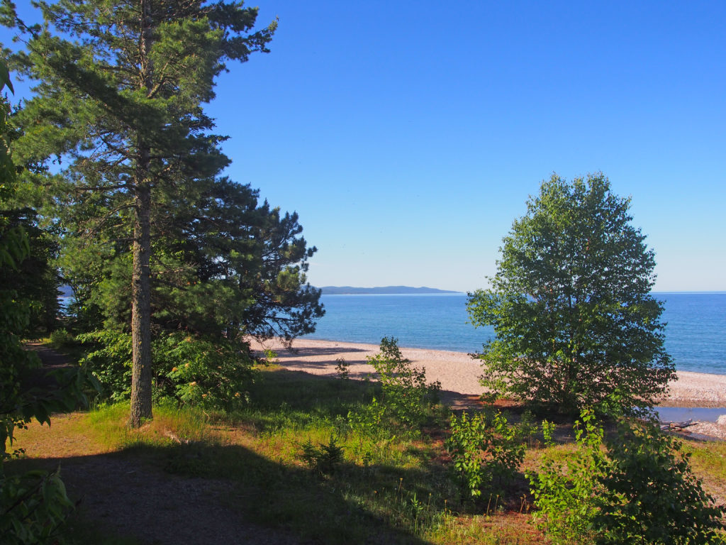
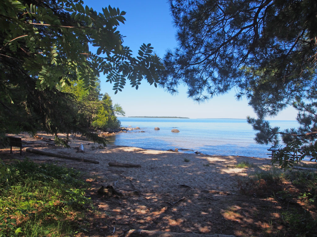
Lake Superior is the largest freshwater lake in the world by surface area, and the third largest in volume. If the coast of Lake Superior was unraveled into a highway, it would extend 2,939 kilometers (1826 miles). The deepest spot is 406 meters (1,322 feet). Lake Superior presented many challenges to shipping. As interest in the resources of the north grew, investors wanted a more reliable form of transportation and the Algoma Central Railway was built. It was intended to bring iron ore and pulp logs from Wawa and Hearst to the mills of Sault Ste. Marie. With the completion of the railroad in 1914, loggers, tourists and artists traveled to places that had been difficult to reach.
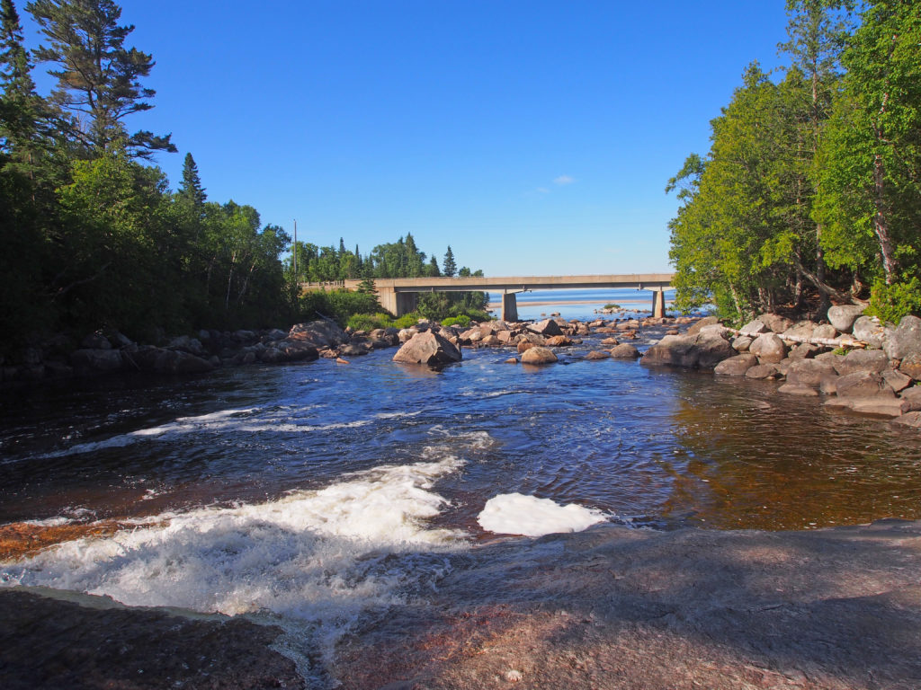
Before Lake Superior Provincial Park was created, a group of artists came to paint pictures of Canada. J.E.H. MacDonald found a multi-channeled falls which he painted showing the foam, the reflections, the colors and the magic. These artists were experimenting with new techniques that showed the ruggedness and beauty of the land. Each fall between 1918 and 1922, members of the Group of Seven painted the newly accessible landscape of the Algoma region as the railway was built. They lived in a rented boxcar and traveled up and down the railway in a three-wheeled handcart called a velocipede. A canoe took them to locations away from the track. The bold new style of painting used vibrant colors.
The Agawa River Valley formed a natural pathway through the wilderness; a section of the railway follows the route through the Agawa Canyon.
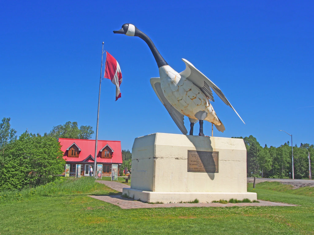
When the first Europeans traveled to the Wawa region in the late 1600s, they were introduced to a rugged landscape occupied by the Ojibway people. Wawa means clear water. Somewhere along the way wawa may have been mistranslated to wild goose instead of wewe which means snow goose. The wild goose story stuck and thus was born Wawa’s legendary Wawa Goose.
Kenora is a small city situated on the Lake of the Woods in Northwestern Ontario, close to the Manitoba border. It is about two hundred kilometers (124 miles) east of Winnipeg. Kenora’s future site was in the territory of the Ojibway when the first European, Jacques de Novon, sighted Lake of the Woods in 1688. Pierre La Verendrye established a French trading post, Fort St. Charles, to the south of present-day Kenora near the current Canada/United States border in 1732, and France maintained the post until 1763 when it lost the territory to the British in the Seven Years’ War. In 1836 the Hudson’s Bay Company established a post on Old Fort Island, and in 1861, the Company opened a post on the mainland at Kenora’s current location.
In 1878, the company surveyed lots for the permanent settlement of Rat Portage (“portage to the country of the muskrat”) — the community kept that name until 1905, when it was renamed Kenora. Gold and the railroad were both important in the community’s early history: gold was first discovered in the area in 1850, and by 1893, twenty mines were operating within 24 kilometers (15 miles) of the town. The first Canadian ocean-to-ocean train passed through in 1886 on the Canadian Pacific Railway. A highway was built through Kenora in 1932, becoming part of Canada’s first coast-to-coast highway in 1943, and then part of the Trans-Canada Highway. In 1967, the year of the Canadian Centennial, Kenora erected a sculpture known as Husky the Muskie. It has become the town’s mascot and one of its most recognizable features.
A dramatic bank robbery took place in Kenora on May 10, 1973. An unknown man entered the Canadian Imperial Bank of Commerce heavily armed. After robbing the bank, the robber was preparing to enter a city vehicle driven by undercover police officer Don Milliard. A sniper positioned across the street shot the robber causing the explosives he was carrying to detonate and kill the robber. Most of the windows on the shops on the main street were shattered as a result of the blast.
Dryden is the second-largest city in the Kenora District of Northwestern Ontario. It is located on Wabigoon Lake. The Dryden area is part of the Ojibway nation, which covers a large area from Lake Huron in the east to Lake of the Woods and beyond. The Ojibway are nomadic with groups from family to village size moving over the land with the seasons and the availability of game or the necessities of life. The settlement was founded as an agricultural community by John Dryden, Ontario’s Minister of Agriculture in 1895. While his train was stopped at what was then known as Barclay Tank to re-water, he noticed clover growing and decided to found an experimental farm the following year. The farm’s success brought settlers from other areas and the community came to be known as New Prospect. Pulp and paper came to the town in 1910. Today, its main industries are agriculture, tourism and mining. The town was the site of the March 10, 1989 crash of Air Ontario Flight 1363 which killed twenty-four people. Dryden is known by people passing by as the home of “Max the Moose”, Dryden’s 5.6 meters (18 foot) high mascot on the Trans-Canada Highway.
