Dunnville, Ontario Book 2 and Area
Haldimand County is a municipality on the Niagara Peninsula in Southern Ontario, on the north shore of Lake Erie, and on the Grand River. Haldimand was first created as a county in 1800, from a portion of Norfolk. It was named after the governor of the Province of Quebec Sir Frederick Haldimand. From 1974 to 2000, Haldimand County and Norfolk County were merged to form the Regional Municipality of Haldimand-Norfolk.
The population centers in Haldimand are Caledonia, Dunnville, Hagersville, Jarvis and Cayuga. Most of Haldimand is agricultural land, although some heavy industry, including the Nanticoke Generating Station, is located here. Some of the smaller communities within the municipality are Byng, Canborough, Canfield, Cheapside, Fisherville, Kohler, Lowbanks, Nanticoke, Rainham Centre, Selkirk, South Cayuga, Sweets Corners, and York.
Dunnville is a community near the mouth of Grand River in Haldimand County, and is only a few kilometers from Lake Erie. Dunnville was one of the early thriving centers of Upper Canada and Ontario. Following the American Revolution, a six-mile strip of land on both sides of the Grand River from its mouth to its sources was opened up to settlement by displaced members of the Six Nations Confederacy. The land was granted to the Iroquois tribes by the British to compensate the Confederacy for land lost in the United States during the revolution. The British originally intended the land to remain in the hands of the Indians, but Mohawk Chief Joseph Brant wanted to open it up to settlement in order to create a source of revenue. Brant persuaded the Six Nations to surrender large blocks of land. Many of the early European arrivals were United Empire Loyalists.
South Cayuga lies on the north shore of Lake Erie, ten kilometers east of Dunnville. Initially part of the Six Nations of the Grand River Indian Reserve, the heavy clay soil of South Cayuga Township was well suited to the cultivation of grain, hay, and livestock.
Sweet’s Corners is located on Rainham Road west of South Cayuga.
Kohler was named for the Kohler family, one of many German immigrants who came to the area in the mid-1800s. It is located on County Road 8 south of Cayuga, and north of Rainham Centre.
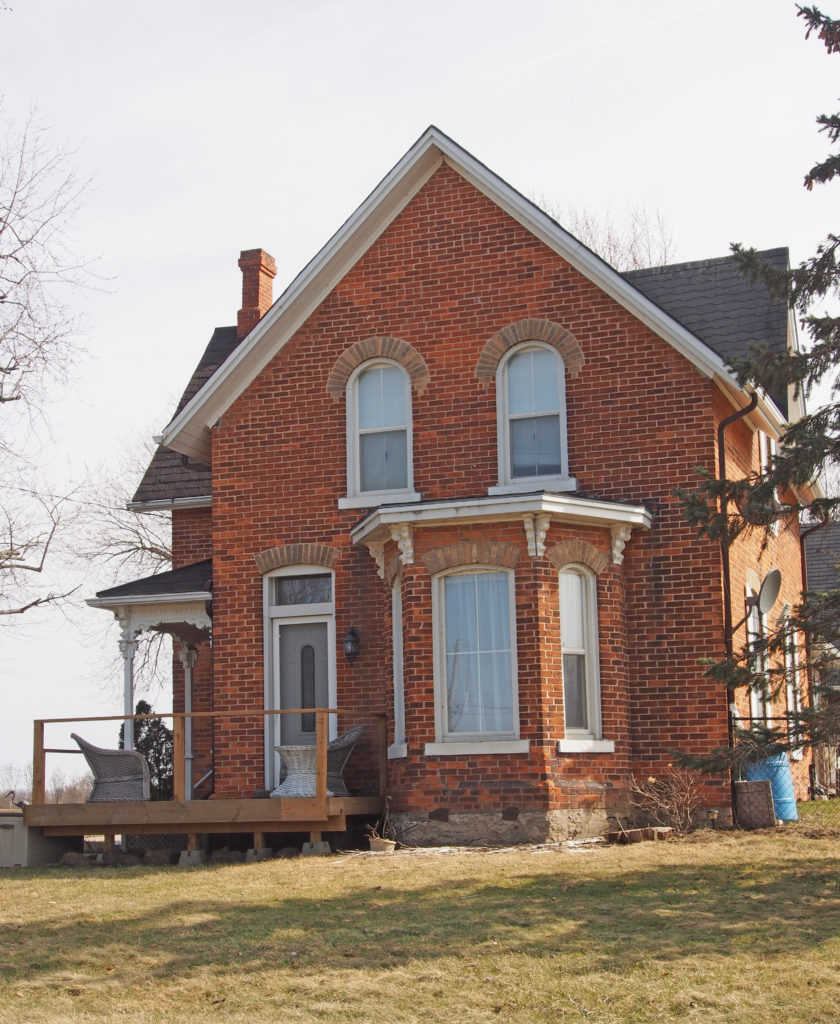
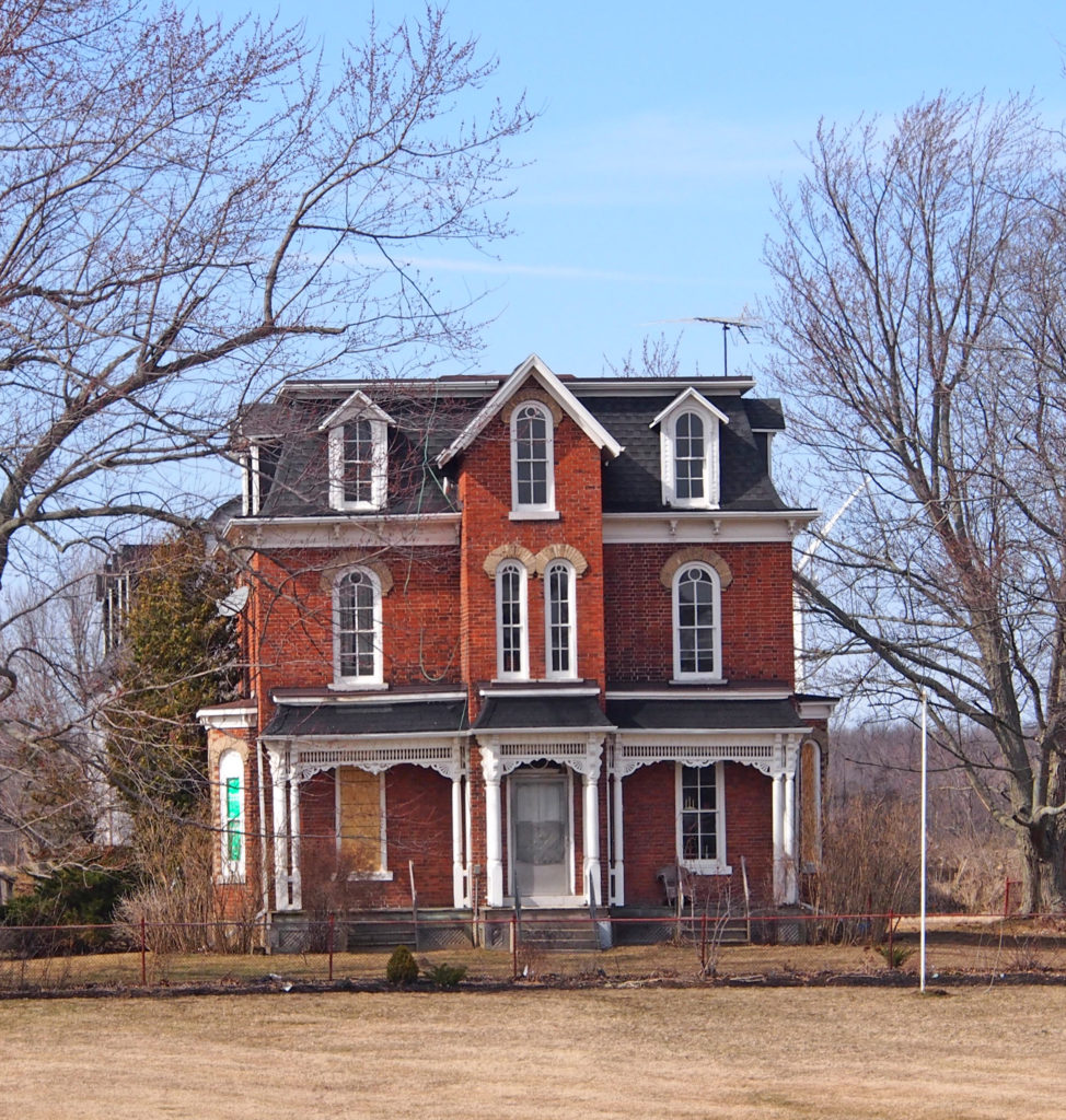
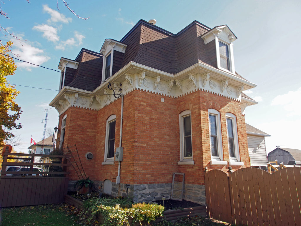
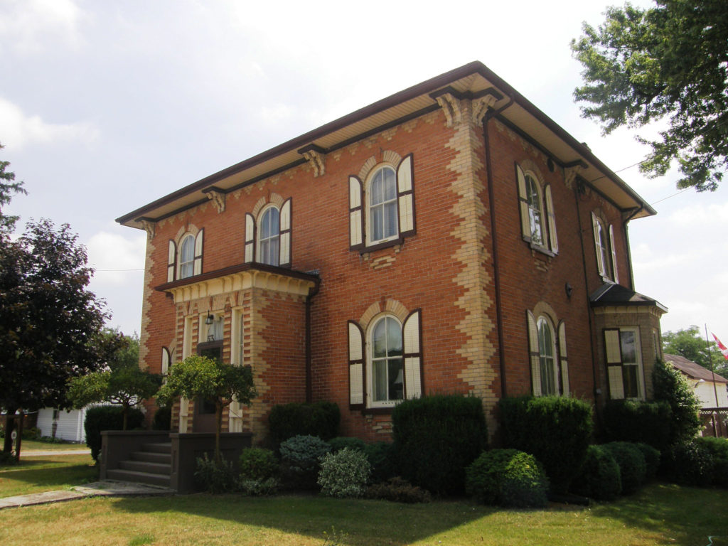
Jarvis is located near the towns of Simcoe, Cayuga, Port Dover and Hagersville. Jarvis is strategically located at the junction of Highways 3 and 6. Jarvis has some excellent examples of brick architecture. Many of the historic homes were built after 1873. Many of the town’s restaurants and shops are clustered around the intersection of the highways. The majority of the buildings are red brick.
