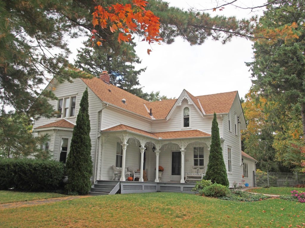
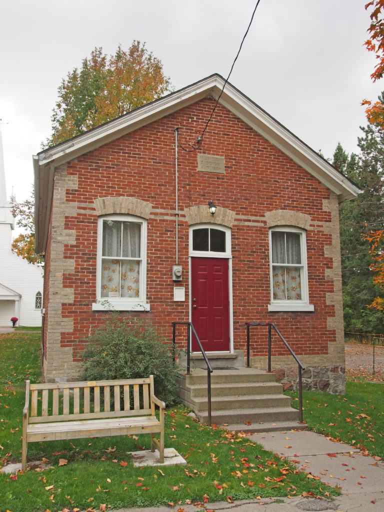
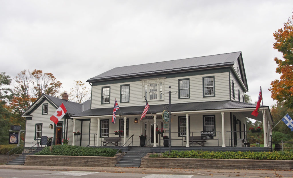
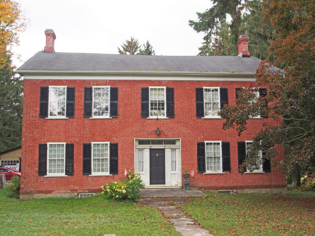
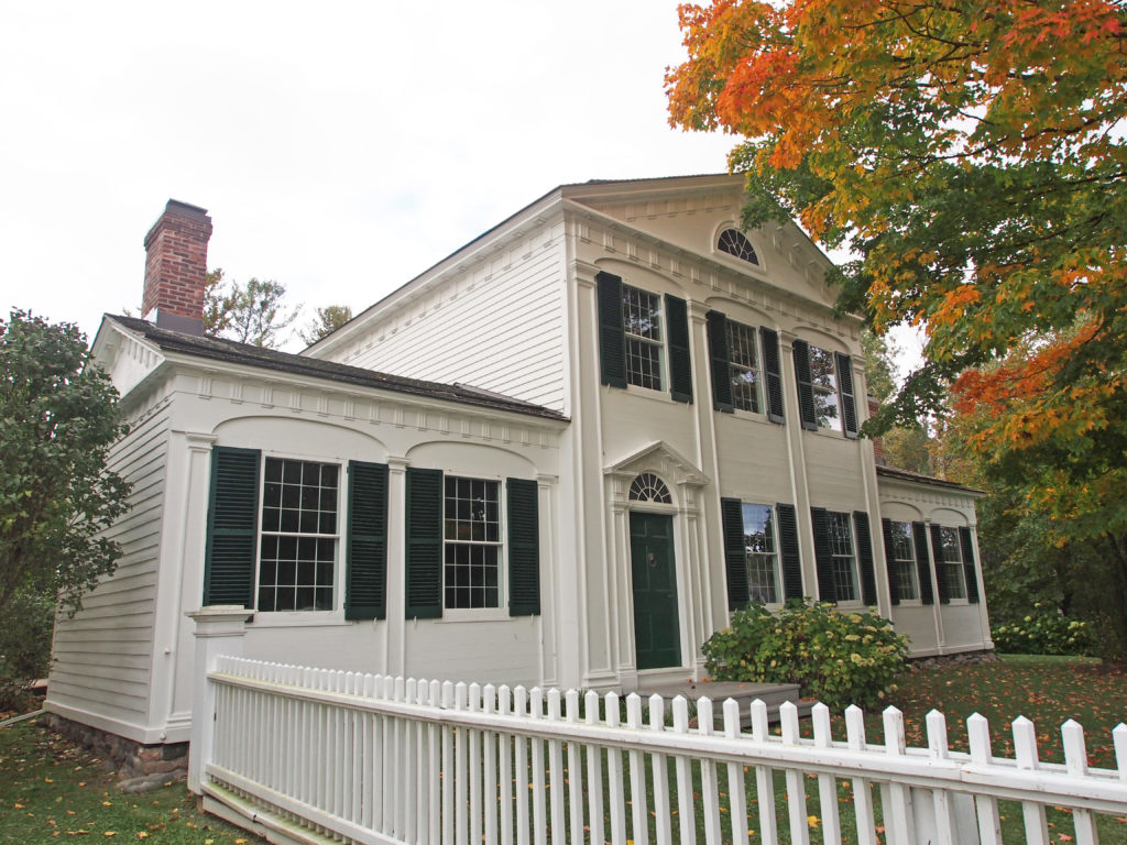
The Township of Alnwick/Haldimand is located in central Ontario in Northumberland County, situated between Lake Ontario and Rice Lake. It was formed in 2001 by the merger of Alnwick Township in the north and Haldimand Township in the south.
Alnwick Township was originally surveyed in 1795 when twenty-four lots were laid out on the first concession. It was named for Alnwick in Northumberland, England. The township’s first residents were made up of United Empire Loyalists, attracted by large unencumbered land grants, sometimes in the thousands of acres. In 1835, 3,600 acres of land along the first and second concessions were set aside as an Indian settlement. Shortly after, the Indian Band from Grape Island was moved into this settlement and a school and church were built at Alderville. The first council meeting was held in 1845 at Alderville School. The Alnwick/Haldimand Township building located in Grafton was built in 1858. Prior to its construction, Township Council meetings were held at local taverns or the residences of council members.
Haldimand Township was formed in 1791 and was named in honor of Sir Frederick Haldimand – a British general who served as Governor-in-Chief of Canada between 1778 and 1796. By 1804, there were 356 settlers in Haldimand Township making it the second most populous township in the region after Hamilton Township to the West. The town hall was constructed in 1860.
As part of provincial initiatives in the late 1990s, the Government of Ontario pursued a policy of municipal amalgamations to reduce waste and duplication. Alnwick Township and Haldimand Township became a single Township of Alnwick/Haldimand on January 1, 2001.
Alnwick/Haldimand is part of the Oak Ridges Moraine. Thirty-one square kilometers of the Cobourg Creek watershed runs through the Township. The Creek supports a diverse ecosystem including forests, meadows and wetlands. Numerous species inhabit the Creek including brown trout, rainbow trout, scuplins and darters. Migratory Chinook Salmon spawn in the creek and Atlantic Salmon are being stocked as part of a provincial initiative to return these native fish to Lake Ontario. The Ganaraska Forest is an 11,000-acre forest located in the Township. It is one of the largest blocks of forested land in southern Ontario. The Millvalley Hills Forest is a 297-hectare forest located within the Township. The dominant trees species are red and white pine, and red and white oak. The township is rural based with agriculture being the largest contributor to the economy. Grain, cash crops, milk, livestock, vineyards and apple farming are all viable in the area. Grafton is located in this township.
The first known settlers to Grafton were just before the turn of the 19th century. These earliest settlers were all from the new United States of America. Most were looking for new land and opportunities, a few were second generation United Empire Loyalists born in loyalist settlements further east.
New settlers from the British Isles started arriving twenty years later. These early Grafton settlers, as well as clearing agricultural land from the forests, produced many fine political leaders. David Rogers was the first to propose anti-slavery legislation for Upper Canada, and Henry Ruttan was the Speaker of the Legislature. Likely the hamlet was named Grafton after John Grover’s birth town of Grafton, Massachusetts. He initially arrived in Upper Canada in 1798 and was in Grafton by 1804.
Bolton is a community in the town of Caledon, located in the Region of Peel about fifty kilometers northwest of Toronto. The downtown and area that historically defined the village is in a valley, through which the Humber River flows. The town was founded around 1822 when James Bolton helped build a flour mill for his relative George Bolton. It was established on the line of the Toronto, Grey and Bruce Railway with stages to and from Weston.
In the Humber River valley, George Bolton, newly arrived from England, and his uncle, James, an area pioneer from just after the completion of the 1819 survey, built a grist mill at a bend in the river on land George had purchased from the surveyor, William Chewett. This mill became the catalyst for several other enterprises which became the seed of a hamlet. The village was strongly Reform during the Mackenzie years and James Bolton had to seek refuge in the U.S.A. after the failed rebellion of 1837. In 1842, his son James C. Bolton purchased the mill site from his uncle and built a large flour mill at the site of the current Humberlea Road, as well as a sawmill. The flour mill, in place until 1968, prospered under several prominent mill owners following Bolton including John Guardhouse and Andrew McFall, both of whose homes still survive along King Street East. The village continued to expand driven by water-powered industries such as William Dick’s Agricultural Works.
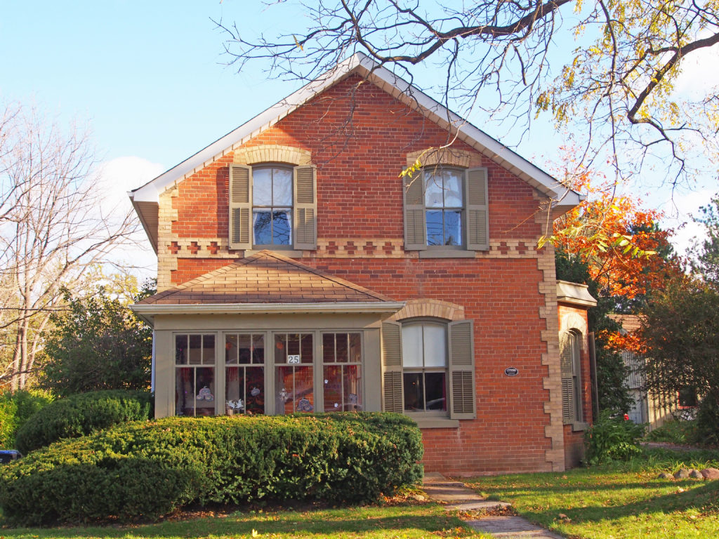
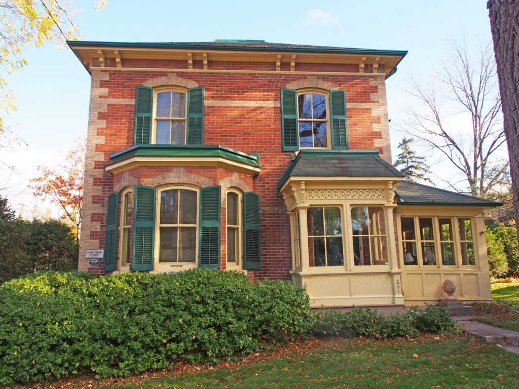
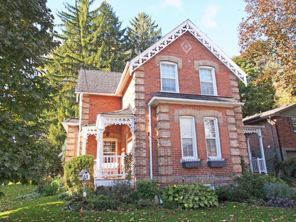
While most evidence of the original mills and other industries have disappeared, the nineteenth century residential fabric remain largely intact and enough survives of the late nineteenth commercial core to maintain the sense of the historic village. As it now stands, the area is characterized by the polychromatic brickwork of the second half of the 19th century in local brick with many of the finer homes incorporating a gabled ‘L’ plan with a veranda at the inside corner.
Sandhill Ontario is about 9 miles east of Caledon.
Abraham Campbell’s father and six brothers took up one thousand acres in Chingacousy about 1820, after having journeyed from the old family home in Lincoln County by an ox-team. From Cooksville to their locations, the way led over a road made through the bush with their own axes. Mr. Campbell spent his life on the farm on which he was born when Chingacousy was the farthest settlement north of the lake. A quarter of a century later Campbell’s Cross, on the highway connecting north and south, was a scene of bustling life. There was a tavern there with eighteen rooms. There were three stores in the village at that time. As many as one hundred teams from the North Country would arrive with grain in a single day. Part of the grain was bought by local merchants and teamed by them to Port Credit for shipment by water. Some of the farmers hauled their own grain all the way to the lake port.

