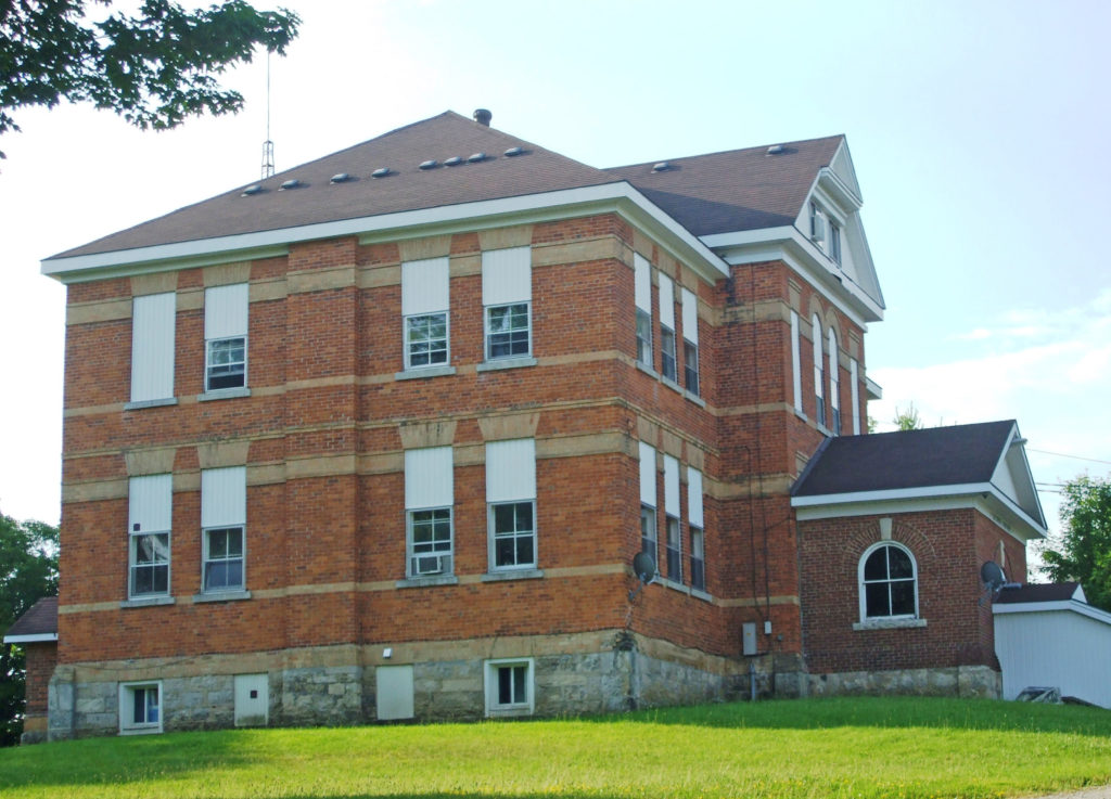
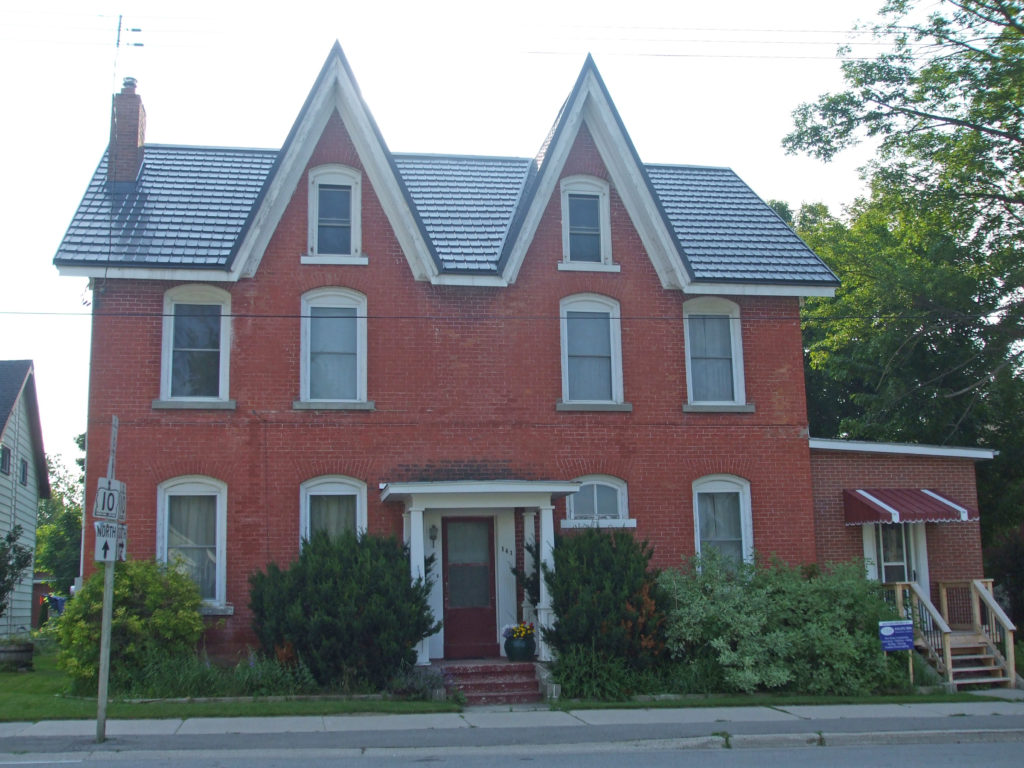
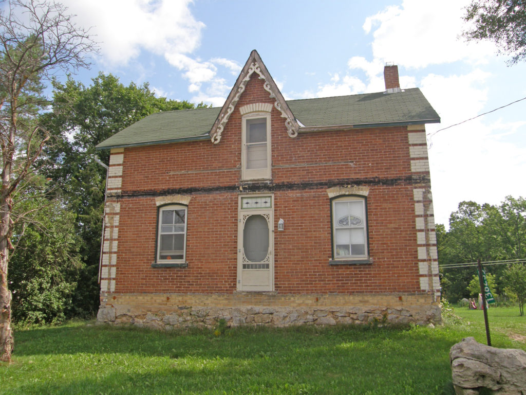
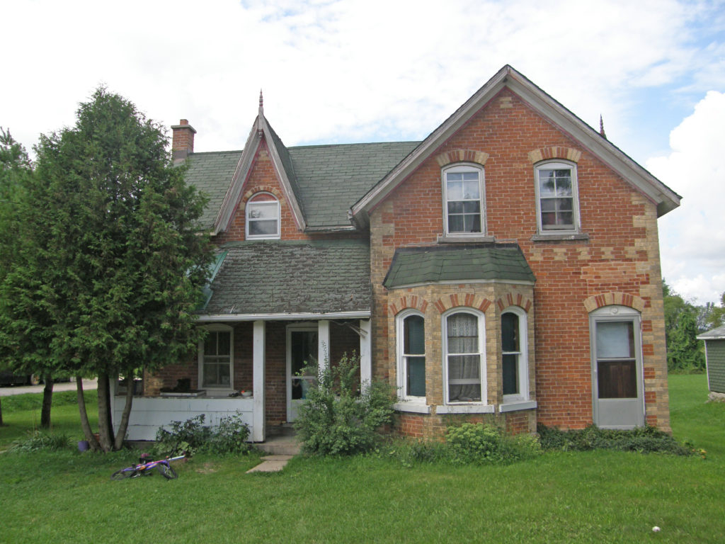
Chatsworth and Grey Bruce Ontario
Chatsworth is a township in south-western Ontario in Grey County located at the headwaters of the Styx, Saugeen, Sauble, Bighead, Spey, and the old Sydenham Rivers. The current township was formed on January 1, 2001 with the amalgamation of Holland Township, Sullivan Township, and the village of Chatsworth. The first white settlers arrived in this area in the early nineteenth century.
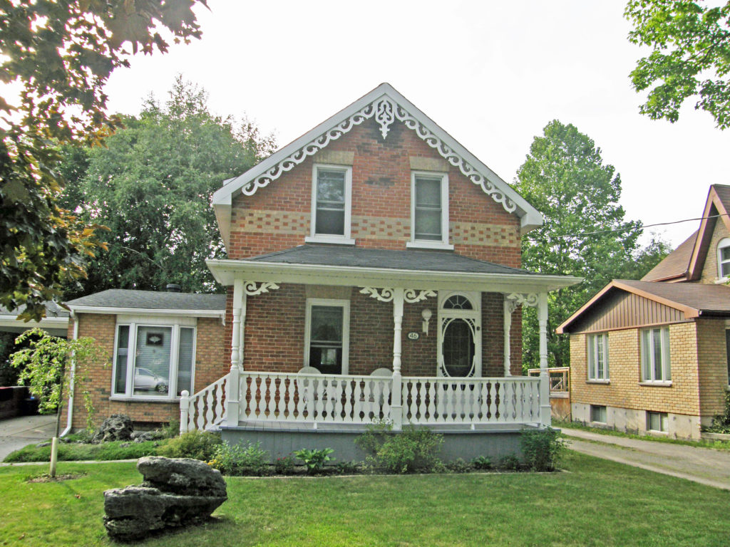
Canadian suffragette and activist Nellie McClung was born in the town of Chatsworth. The Sullivan Township area has a large Amish population.
The township includes the town of Chatsworth, Arnott, Berkeley, Desboro, Dornoch, Glascott, Grimston, Harkaway, Hemstock Mill, Holford, Holland Centre, Keady, Keward, Kinghurst, Lily Oak, Lueck Mill, Marmion, Massie, Mooresburg, Mount Pleasant, Peabody, Scone, Strathaven, Walters Falls, Williams Lake, and Williamsford.
Chatsworth is located south of Owen Sound and north of Durham where Highways 6 and 10 merge. The village neighbors Williamsford, Dornoch, and Desboro. The name of the town comes from Chatsworth House in Derbyshire, England near the home town of the postmaster. Chatsworth was founded in 1848 at the northern terminus of the Toronto-Sydenham Colonization Road. Modern Highway 10 follows most of the original road’s route.
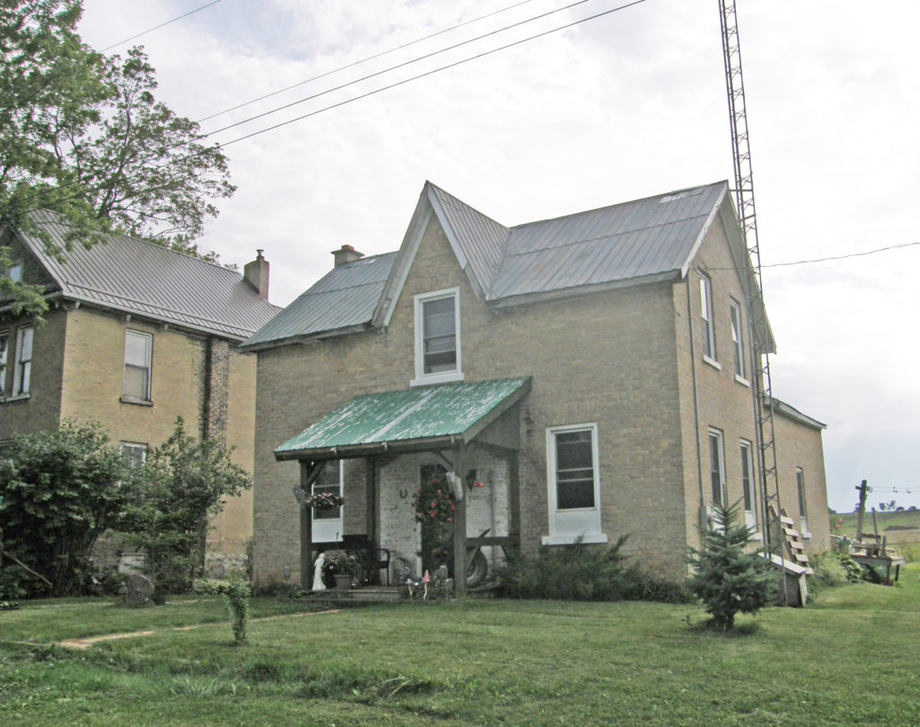
The first building in the village of Desboro in 1856 was a log school house. The area was originally called Brown’s Corners. At some point its name was changed to Donnybrook and then to Desborough after a village in central England. The first house and store were built in 1866 by George Smith. The Desboro hotel was built in 1869 and was one of the only rural taverns still operating in the township before it closed in 2011. The town hall was built in 1875 and enlarged to a two-storey building in 1950. Desboro is about 13 kilometers west of Chatsworth and Williamsford.
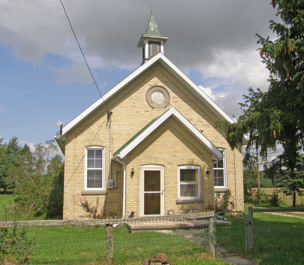
Keady is a small farming village, located at the intersection of Grey Roads 3 and 16. Keady saw its first settlers in the 1850s. The original general store was built in the late 1860s and operated for almost 100 years before being converted into a residence. It has a Community Centre, licensed mechanic, livestock market, machine shop and a United Church, and is home to about 200 people.
Keady is well known in the area for the weekly summer farmer’s market and numerous functions held at the Keady Community Centre.
The village of Dornoch was settled by Bartholomew Griffin in 1841 when he encountered a crossroads that appealed to him. The area was originally called “Griffin’s Corners” after Griffin started the first general store. In the late 1850s the village was served by a stage coach that was running between Durham and Chatsworth. Around the turn of the century, the name was changed to Dornoch after the village in northern Scotland. The community center was built in 1952 and still serves Dornoch. Dornoch is situated between Williamsford and Durham on Highway 6 and is 33 kilometers south of Owen Sound.
Williamsford is a village on the North Saugeen River. It has a general store, post office, a bookstore and restaurant housed in a historic grain mill. A small dam controls the river. It has several churches, and a community cemetery. It is located on Highway 6 between Durham and Owen Sound. The village of Williamsford was first surveyed in 1858 comprising 400 acres in preparation for a railway which was to run from Toronto to Owen Sound. The post office was built in 1847 and the general store was built in the late 1800s. At the south end of the village sit the community centre grounds with a playground, a baseball diamond and a curling rink. The curling rink was completed in 2010 and has a lounge and two rinks.
West Grey is a township in western Ontario in Grey County spanning across the River Styx, the Rocky Saugeen River, the Beatty Saugeen River, and the South Saugeen River. Unlike most rural communities, West Grey maintains its own police force, the West Grey Police Service. The municipality was formed on January 1, 2001, when the former Townships of Bentinck, Glenelg, and Normanby, the Village of Neustadt, and the Town of Durham were amalgamated in a county-wide reorganization. Elmwood is one of the communities in this township.
Elmwood is a village in Grey County on the county line between Bruce and Grey, about six miles (10 kilometers) north of Hanover. It was a location in which Mennonites were to be found from before 1870, when ministers from Waterloo County were sent to Brant Township every eight weeks to conduct services which alternated in the homes of Mennonite families living there. In 1875, when the Mennonite Brethren in Christ (MBC) were organized in Ontario, Elmwood was one of their earliest places of worship. It was the village into which the retired farmers moved when they left the farms in that community.
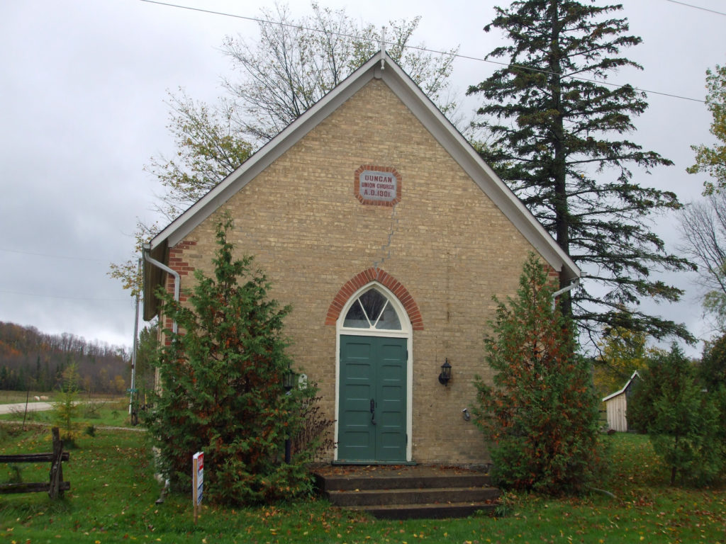
Duncan is located south of Thornbury.
Euphrasia is a former township in Grey County. Since 2001 it is a part of the municipality of Grey Highlands. Euphrasia is located east of Beaverdale, north of Wodehouse and southwest of Beaver Valley. Euphrasia has an elevation of 433 meters.
Markdale is a community in Grey County. Markdale was first settled in 1846. In 2001, Markdale was amalgamated with the townships of Artemesia, Euphrasia and Osprey to form Grey Highlands. On August 20, 2009, an F2 tornado originating in Durham touched down in Markdale and caused some local damage.
Arkwright was an important community in the early days of Bruce County’s history. First settled in the 1850s, it gained prominence as both a supply centre and busy stopping place along the stage route. At its height Arkwright boasted two hotels, two stores, a wagon shop, two blacksmiths and a physician. A sawmill was located close by. There was also a school and two Methodist churches that later merged. A post office operated from 1857 to 1915 in one of the general stores. Arkwright served as the seat of township government for many years. Lack of a railway prevented Arkwright from attracting any major industries.
Tara is located in the municipality of Arran-Elderslie in Bruce County and is located on the Sauble River. Tara was named after a town in County Meath, Ireland which served as the seat of Irish royalty. Soon after the survey of the township was completed in 1851, John Hamilton and Richard Berford, early settlers in the area, located here along the river. The opening of the Owen Sound Post road stimulated the growth of a small community. Situated in a rich agricultural region with abundant water power, the settlement developed quickly. By 1861 Tara had saw and grist mills, a foundry producing agricultural implements, wagon works and a tannery. Hamilton opened a hotel to serve the incoming settlers of the surrounding townships. A post-office opened in 1862. In 1880, the local newspaper, The Tara Leader was first published. Tara became a thriving commercial and manufacturing center and, in anticipation of the arrival of the Stratford and Huron Railway, it was incorporated as a village on January 1, 1881.
Williscroft was a farming hamlet, located in Bruce County, first settled around 1850. By 1856 it had a post office, followed by a school in 1858. The village quickly grew to include a blacksmith shop, a store, two coopers, a door and sash building business, and saw and grist mills. A Baptist church was added in 1875. Later industries in Williscroft included a cheese factory and woodworking and carriage shops. Farm based organizations, which took hold during the 1880s, led to the construction of a large Grange Hall, also used as a community and social center, and later as an Orange Lodge.