Osoyoos British Columbia in Colour Photos
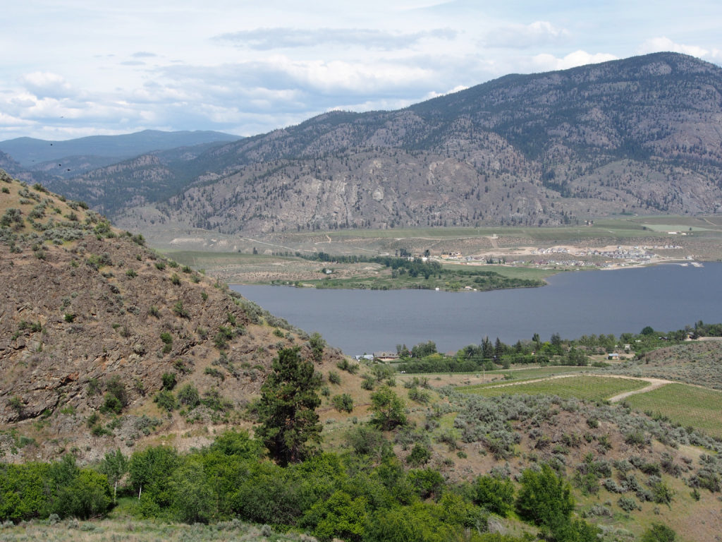
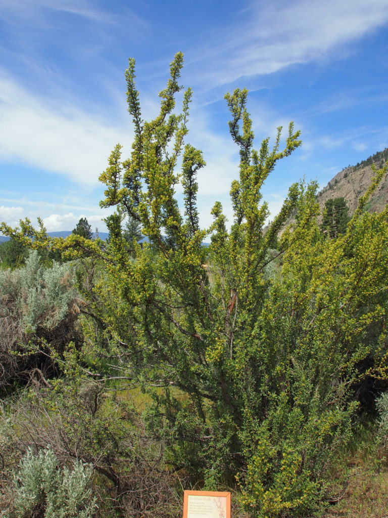
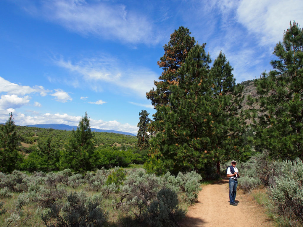
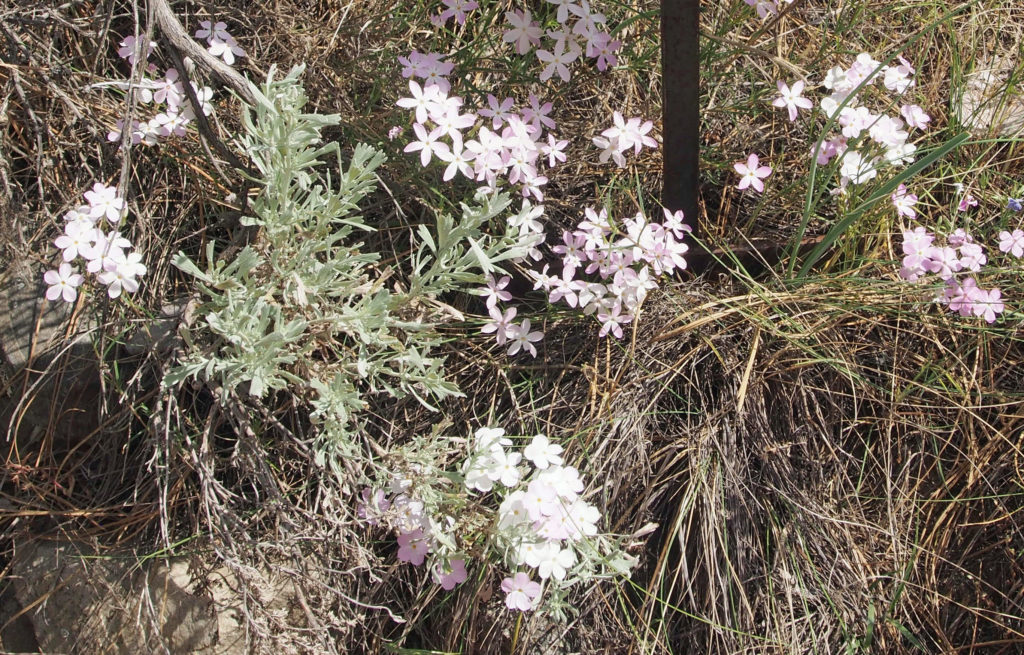
The South Okanagan Valley is located at the northernmost tip of the upper Sonoran Desert system which starts in Mexico and extends through North America as the Great Basin. Because of the low rainfall and a very sandy soil, desert plants grow in the region. Osoyoos is surrounded by hills blanketed in sage and pine forest. The valley sides and bottomlands have orchards that produce the earliest fruit in Canada as well as great wines. Early agricultural production in the Okanagan-Similkameen region was focused mainly on cattle ranching as the local environment was well suited to cattle grazing and provided beef to expanding communities.
Ranching in the Okanagan Valley got its start in the 1860s when Osoyoos customs officer Judge John Carmichael Haynes levied duties on the herds of cattle that were being driven from the United States to the Cariboo gold fields. Many of the cattle drovers could not afford to pay these duties, and thus paid Haynes with cattle. Haynes kept some of the cattle for himself, and sold some to other early settlers.
Until the construction of the Kettle Valley Railroad in 1915, the cattle had to be herded over the treacherous mountain trails in order to reach the markets. Once the K.V.R. was constructed, the cattle had only to be driven to Penticton, where they were loaded into boxcars and shipped to the meat processing plants in Vancouver. The ranching process was facilitated further in 1943, with the establishment of the first stockyard in Okanagan Falls.
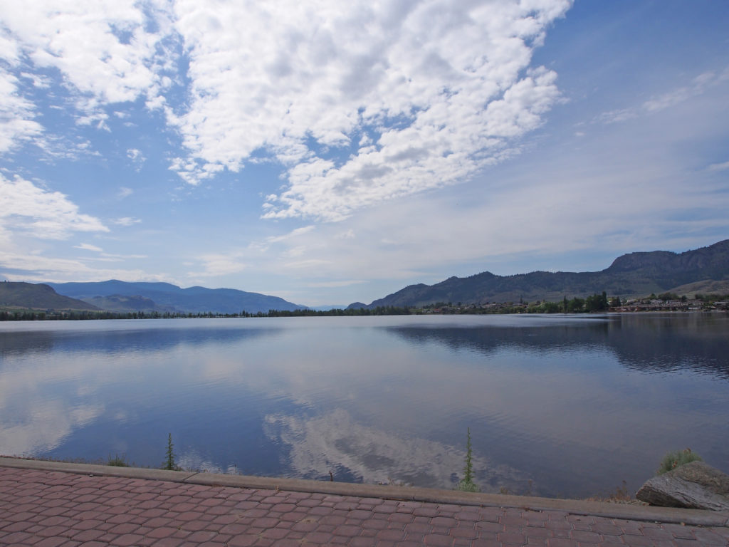
Osoyoos means “a place where two lakes come together.†In 1811 the first white men in their search for furs came here and established a fur trading post. Cattle ranching, mining and lumbering followed. In 1907 the first commercial fruit orchard was planted because it was the warmest place in Canada. The community nestles along Lake Osoyoos which is twelve miles long and at an elevation of only 912 feet above sea level.
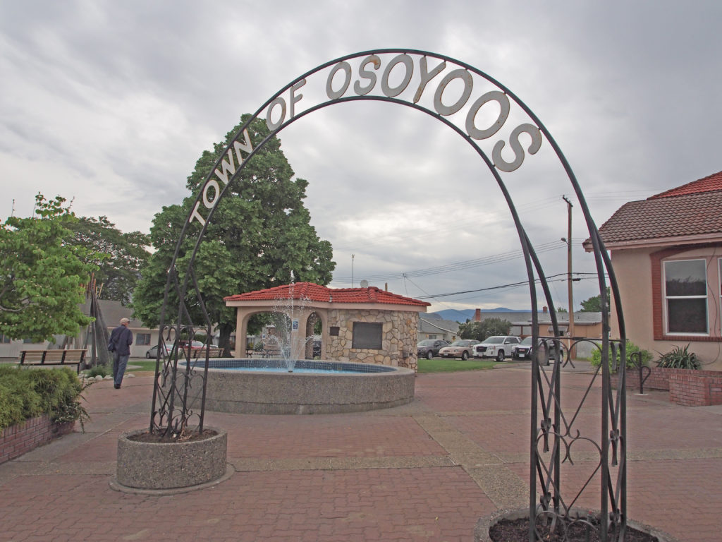
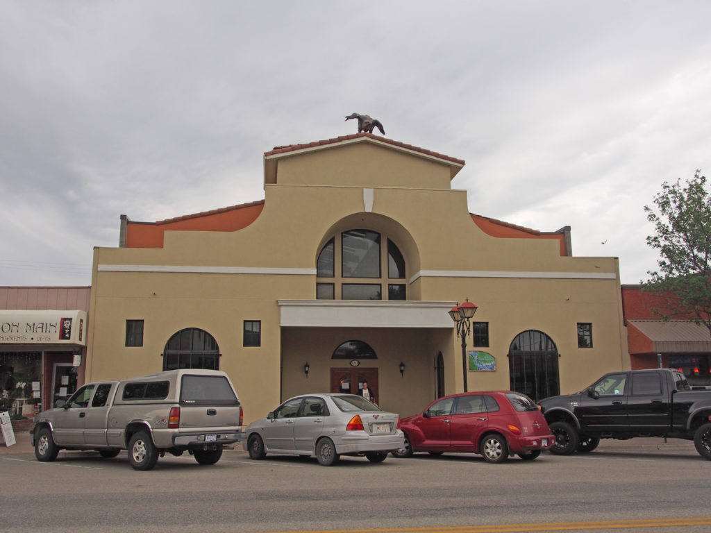
With its orchard setting, lakes and mountains, the likeness to the county of Spain is apparent. This sparked the community to adopt a Spanish theme.
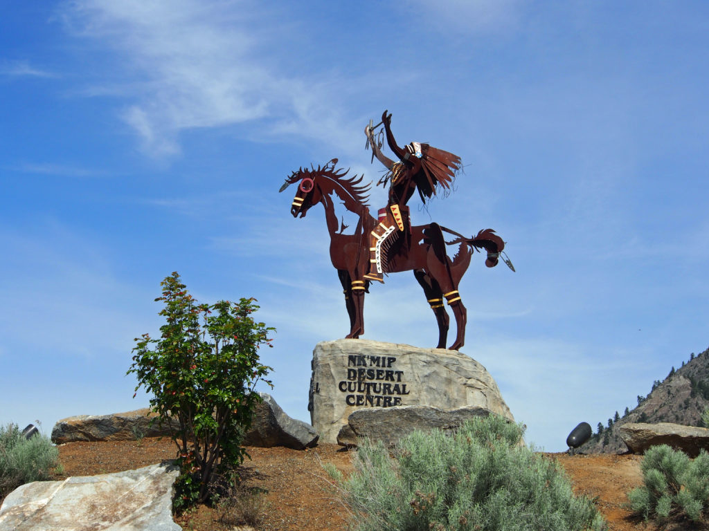
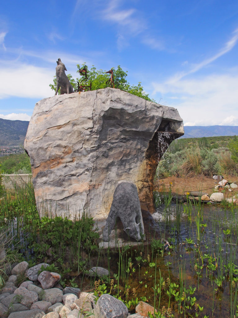
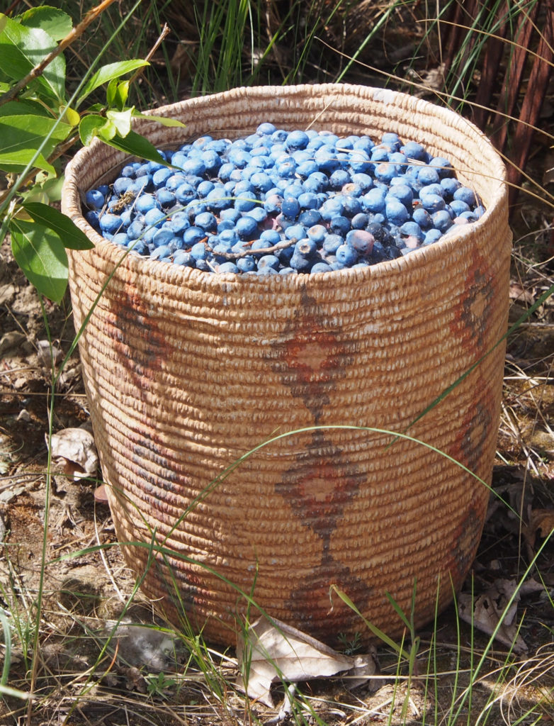
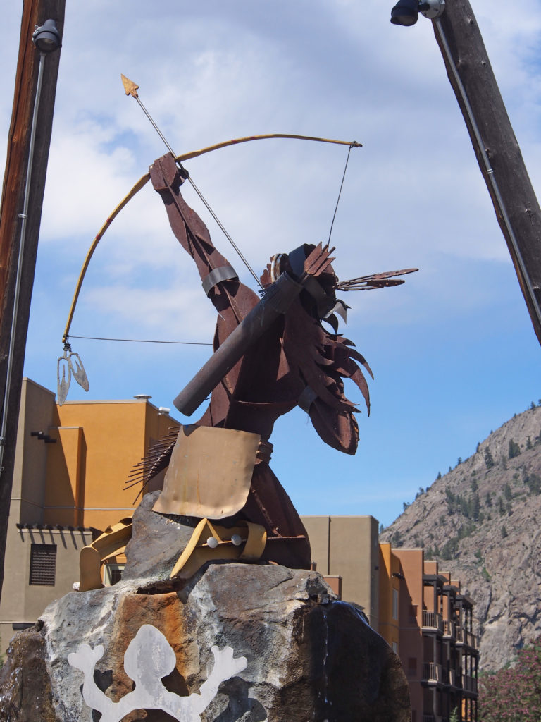
The Nk’Mip Desert Cultural Centre celebrates the precious cultural heritage of the Osoyoos Indian Band and explores their desert landscapes. The site is fifty acres of sage grasslands and ponderosa pine forest. The name NK’MIP (Inkameep) means “gateway or doorway to the bottom of the lake system.†The Inkameep lived off the land, lakes and rivers. They hunted, fished and grew crops and gave thanks to the ‘Great Spirit’ for the seasons and the bounty they shared. The Osoyoos Indian Band was a trading nation and developed trade with bands farther north in the Okanagan Valley and the Colville Band in Washington.
Nk’Mip Cellars became a reality under the leadership and vision of Chief Clarence Louie. His tenacity as an entrepreneur is upheld by his passion for his people and their place within the Canadian economy. Sam Baptiste, General Manager of Inkameep Vineyards is recognized as one of the best wine growers in this British Columbia region.
