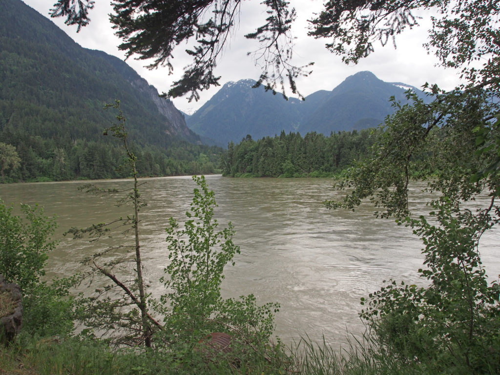
Hope is located at the confluence of the Fraser and Coquihalla Rivers. Hope is at the eastern end of the Fraser Valley, and is at the southern end of the Fraser Canyon.
The history of European settlement in the town of Hope is linked with the history of the Hudson’s Bay Company and the partnership between the company surveyors and First Nations in establishing a brigade trail through the mountains to Fort Kamloops. When gold was discovered in the Fraser Canyon in 1858, miners from across the continent flocked to British Columbia to seek their fortune in the mountains and creeks. Two years later gold was discovered in the Cariboo and miners migrated further north to seek riches in the area around Barkerville. In order to facilitate the movement of miners and supplies north, and gold south, the government built the Cariboo Wagon Road which allowed merchants and prospectors to travel faster and hopefully more safely.
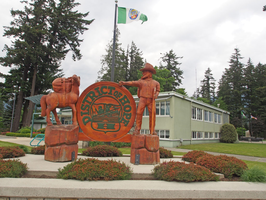
The Fraser River has been the greatest source of food for the Sto-lo people who formed permanent settlements along the river. Simon Fraser came down the river in 1808. Hudson’s Bay forts such as Hope (built in 1848-49) and Yale gave the Sto-lo access to a wider variety of trade goods, such as steel tools, cooking pots, and guns.
Keremeos is located in the beautiful Similkameen Valley in the Southern Interior of British Columbia. Keremeos’ main industries are horticulture, agriculture, ranching, and wine making. Soft fruits such as apples, cherries, and peaches as well as vegetables are grown in the dry warm climate.
Princeton lies just east of the Cascade Mountains. The Tulameen and Similkameen Rivers converge here. The area’s main industry has been mining of copper, gold, coal, and some platinum.
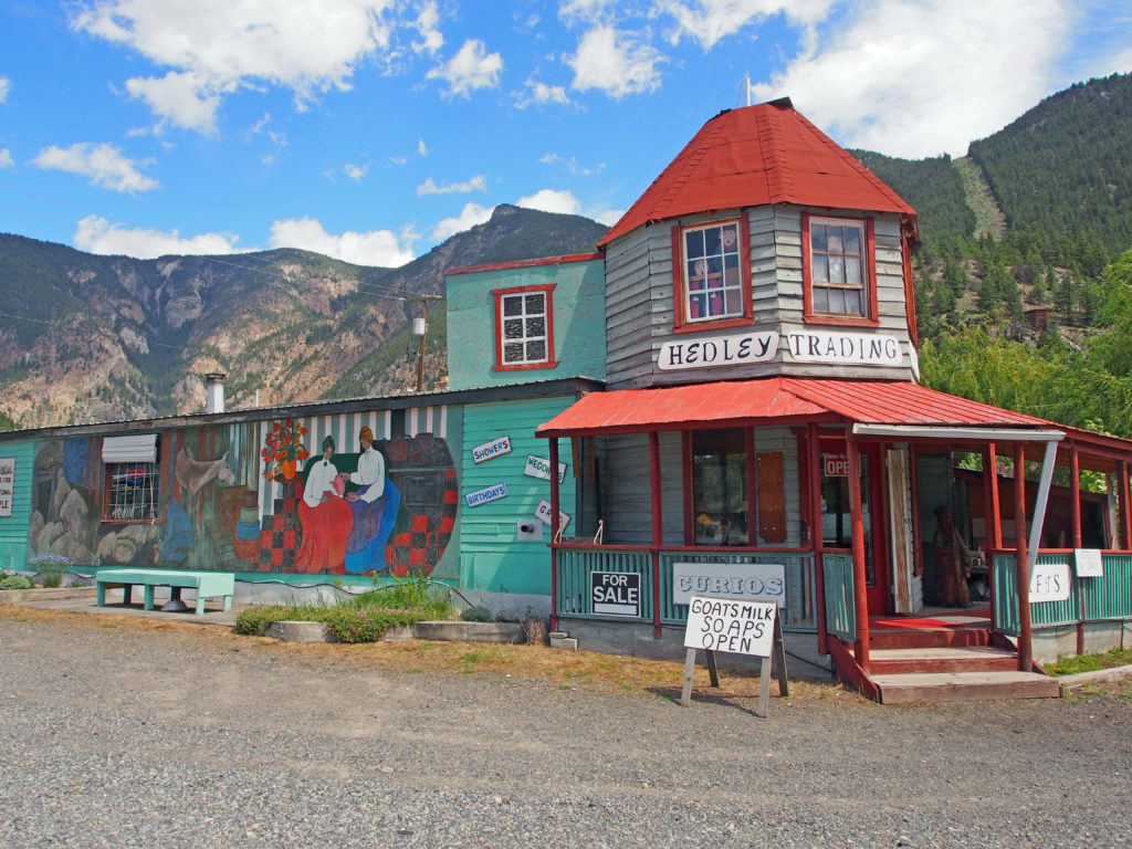
Gold was found on Nickel Plate Mountain in 1898 in Hedley. The ore was rich but it had to be extracted from the host rock by crushing and chemical treatment.
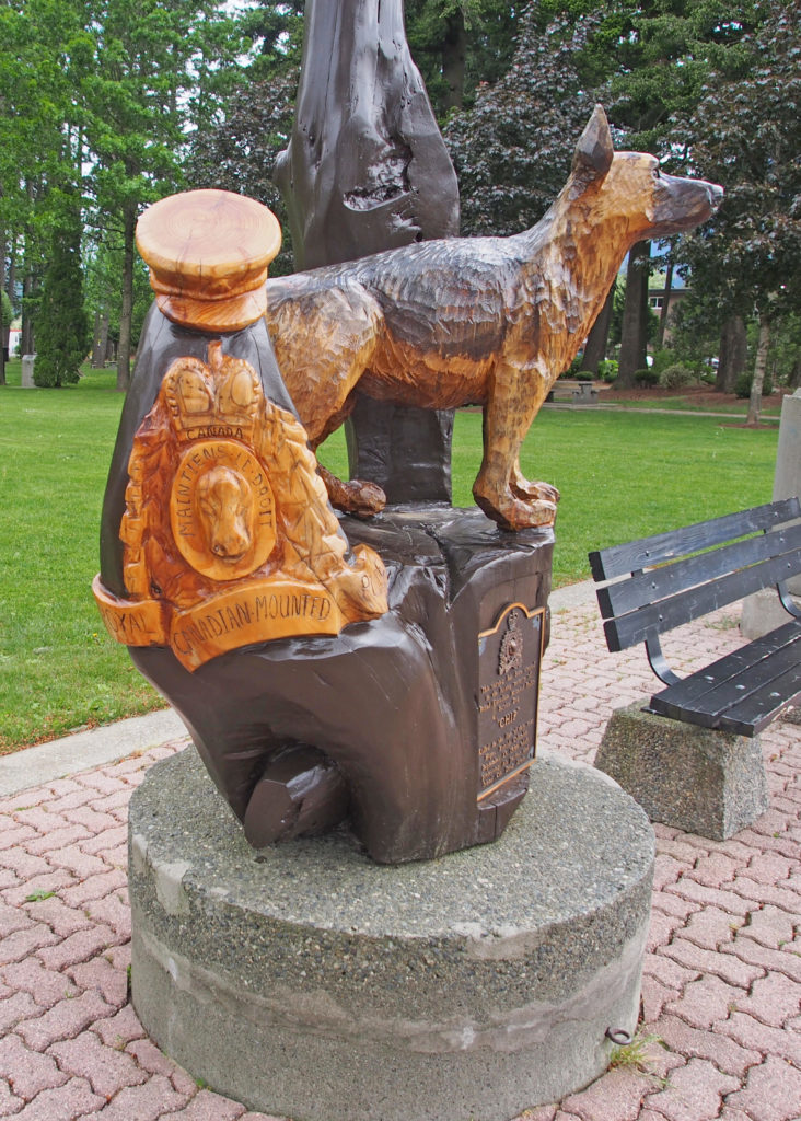
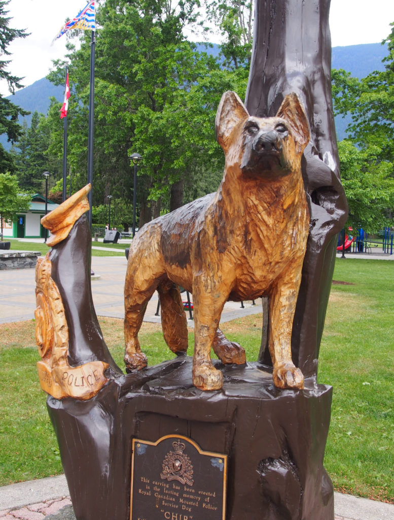
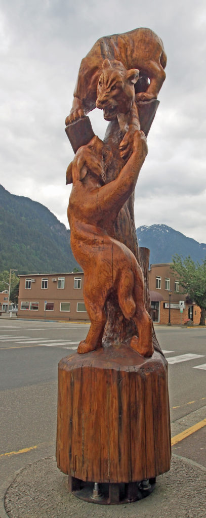
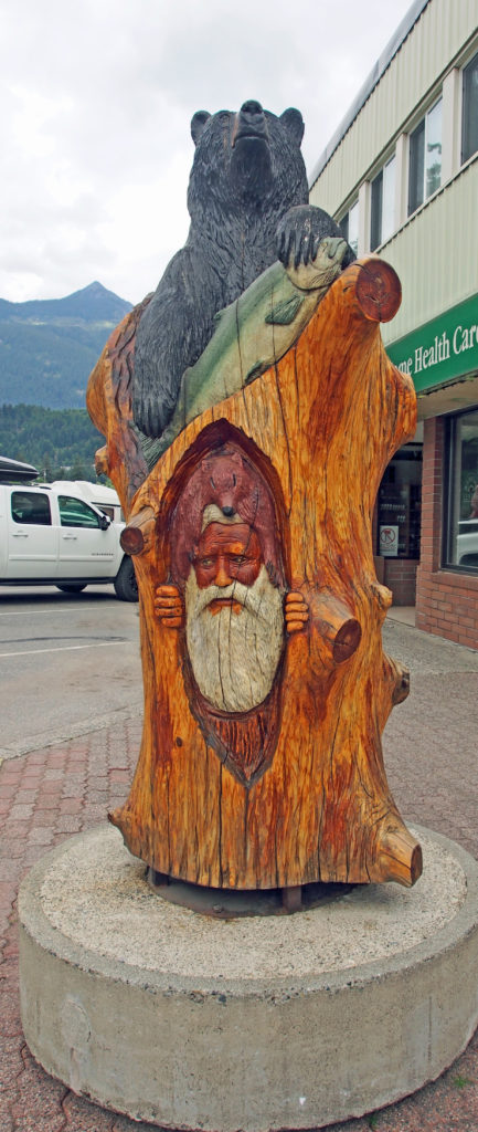
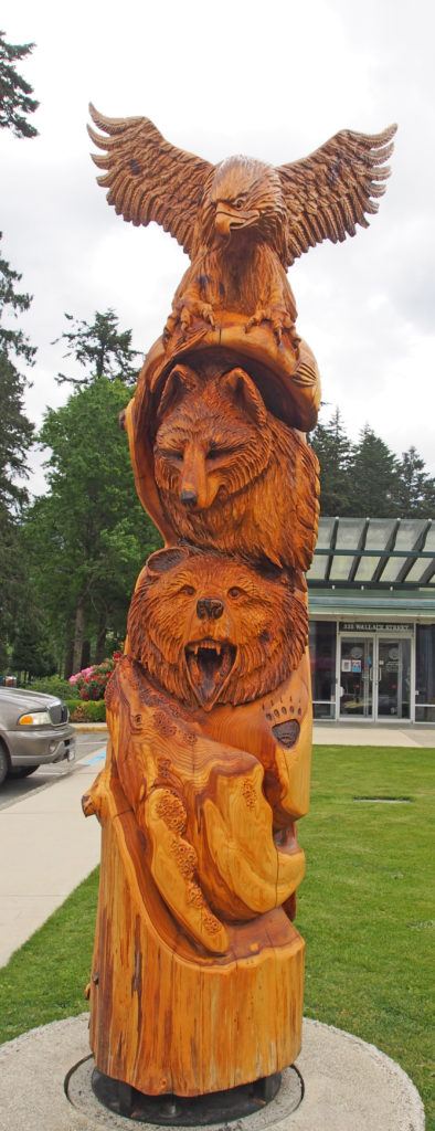
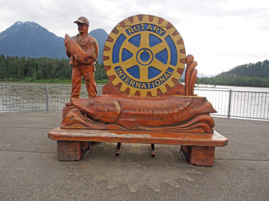
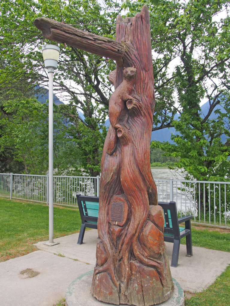
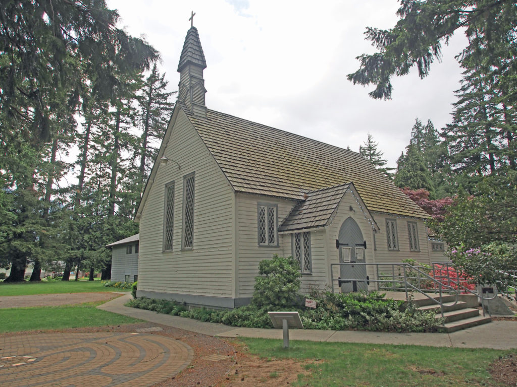
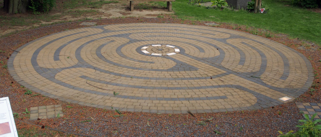
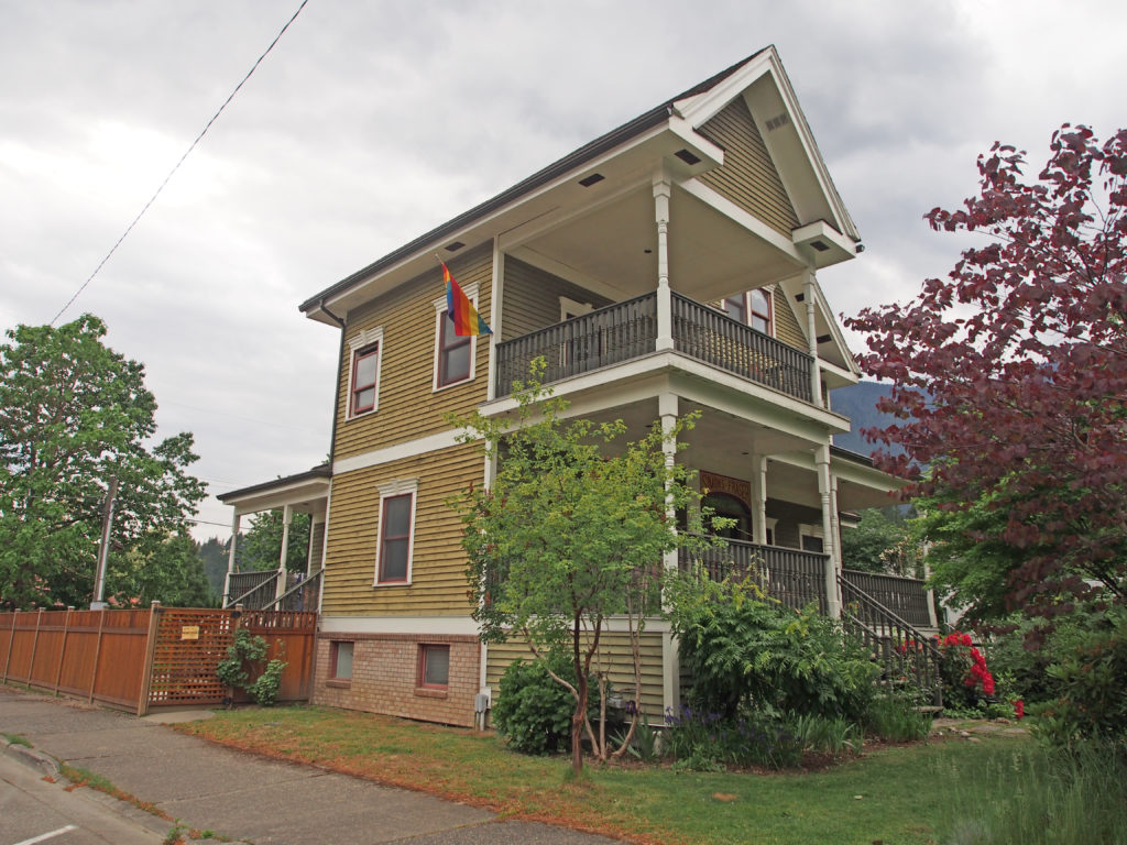
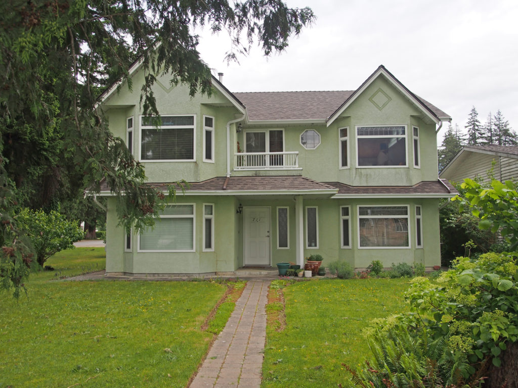
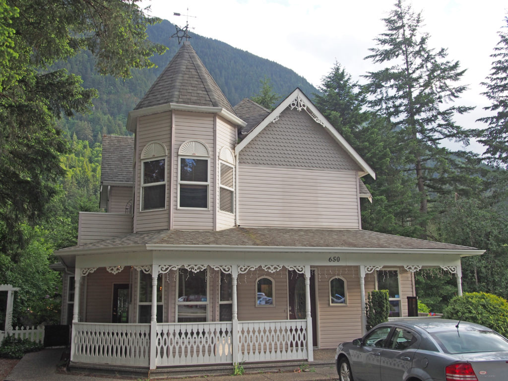
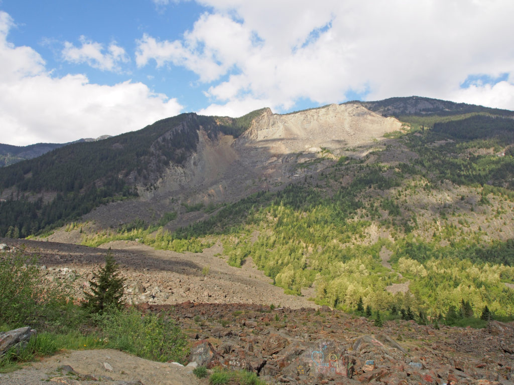
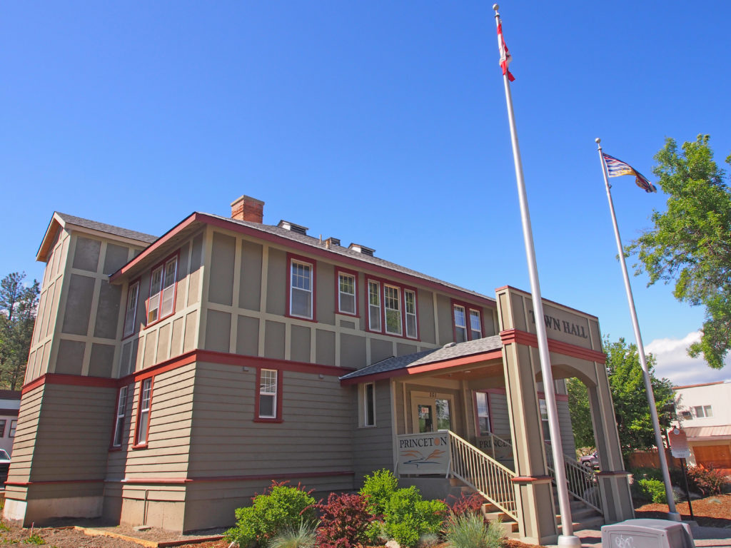
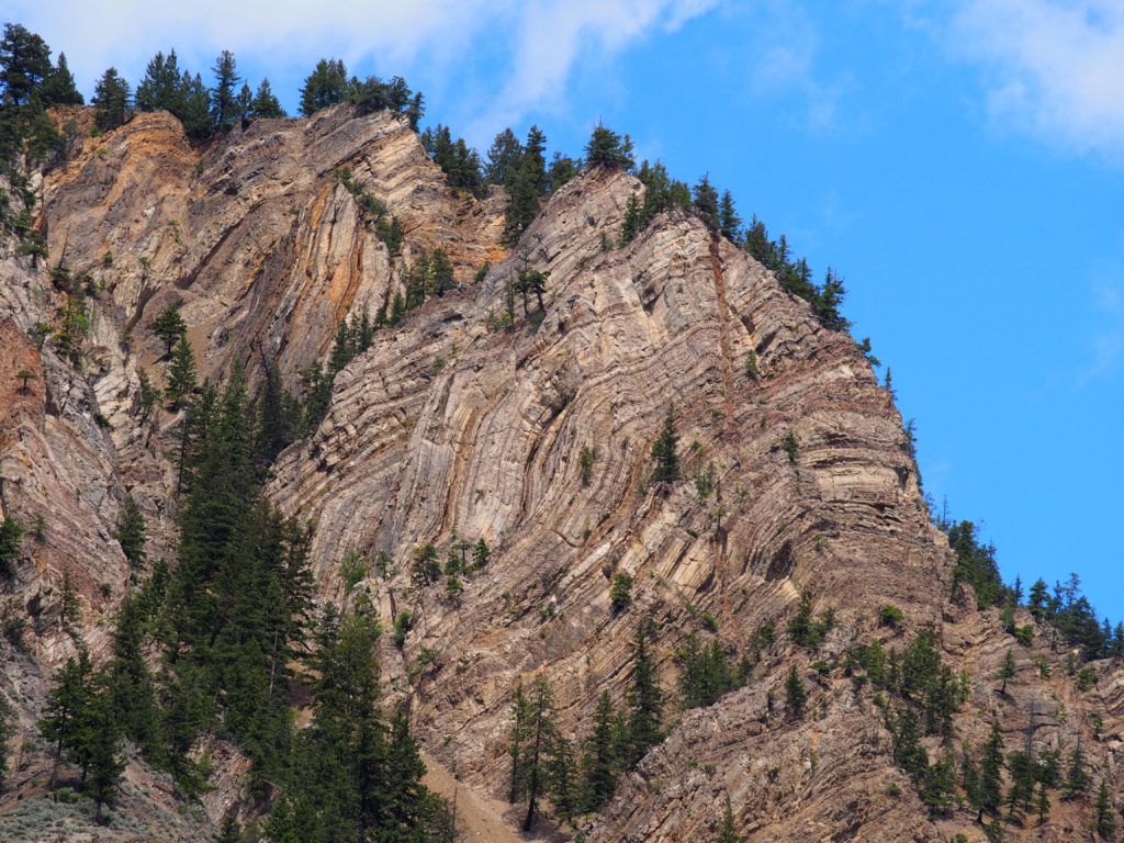
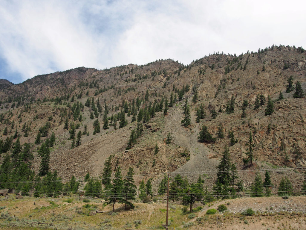
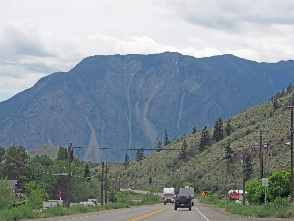
Wood Carving – Hope, British ColumbiaRoyal Canadian Mounted Police Service Dog “Chip†was killed in the line of duty near Hope on September 13, 1996 while protecting his partner and friend Constable Doug Lewis.RCMP Service Dog “Chip”The Fraser River – The past saw fur traders, the gold rush of 1858, and early settlers. The present sees waters teeming with migrating salmon and a highway and railways confined to the gorge carved by the river. The Fraser River, beautiful, bountiful, and powerful flows in the pattern of our future.“Standoff†Wood CarvingMan inside trunk with bear and fish aboveEagle, wolf, bear carvingRotary International carving – man holding fish, and fish on benchCarver Pete Ryan 1996681 Fraser Avenue – Christ Church – 1861 – This white clapboard, Gothic Revival-styled Anglican Church with leaded glass windows first ministered to gold rush prospectors.A Labyrinth consists of a single meandering pathway that leads from the entrance to the center and back out again. In the Christian tradition, it is a place where one can experience a spiritual walk with our creator. It provides a time for private meditation, a time to pray and talk to God.Two-story house with balconies on both storiesGothic two-story homeQueen Anne style with turret and wraparound verandaYellow broomEarly January 9, 1965 a huge landslide occurred and destroyed about three kilometers of the Hope-Princeton Highway. The slide, consisting of more than 46 million cubic meters of earth, rock and snow, crashed down in seconds from the 2,000-meter-high mountain ridge.Princeton Town HallHedley – From the heart of this mountain, men took $47,000,000 in gold. In 1904 Hedley boomed with the opening of the mill in town and the Nickel Plate Mine on the mountaintop. The nearby Hedley Mascot Mine, on a claim of less than an acre, mined a fortune. In 1955 the gold, silver and copper ore were exhausted.Hedley Trading PostKeremeos – villageKeremeos – mountainKeremeos – mountainDriving on the highway from Hedley to Hope, British Columbia