Woodstock, Ontario – My Top 16 Picks
Woodstock is located in the heart of South Western Ontario, at the junction of highways 401 and 403, 50 km east of London and 60 km west of Kitchener. Woodstock is the largest municipality in Oxford County, a county known for its rich farmland, and for its dairy and cash crop farming. As well as being “The Dairy Capital of Canadaâ€, Woodstock also has a large industrial base, much of which is related to the auto manufacturing industry.
In 1792, Sir John Graves Simcoe became Lieutenant Governor of Upper Canada and made plans for the development of the interior of Upper Canada. He envisioned a series of town sites linked by a military road and a system of rivers and canals, providing inland access during an era when commerce and settlements depended on major waterways. London, Chatham, Dorchester and Oxford were designated town sites with London as the defensible capital. The military road stretching from Burlington Bay through Woodstock to London provided an overland supply route for the safe movement of troops and settlers. Simcoe named this road Dundas Street after Henry Dundas, Viscount Melville, Secretary of State for War and the Colonies.
To speed development in the sparsely populated interior of the province, Simcoe granted whole townships to land companies who were obligated to bring in settlers.
Simcoe passed through the area now known as Woodstock and noted it a suitable “Town Plot” and settlement began here in 1800.
In the 1830s, a different group of immigrants were encouraged to settle in Oxford to ensure this community’s loyalty to the British crown. British naval and army officers placed on half-pay looked to the colonies for a new career at the conclusion of military service. The first to arrive was Alexander Whalley Light, a retired colonel who came to Oxford County in 1831. He was joined by Philip Graham in 1832, a retired captain of the Royal Navy, and Captain Andrew Drew, on half-pay from the Royal Navy, arrived in Woodstock to make preparations for his superior, Rear-Admiral Henry Vansittart, also on half-pay. Half-pay officers went to considerable lengths to clear their chosen parcels of land.
Admiral Vansittart commissioned Colonel Andrew Drew to build a church (Old St. Paul’s) in a new area of Oxford that was known as the “Town Plot”. The men later quarreled, which led to the construction of a second church known as “New St. Paul’s”.

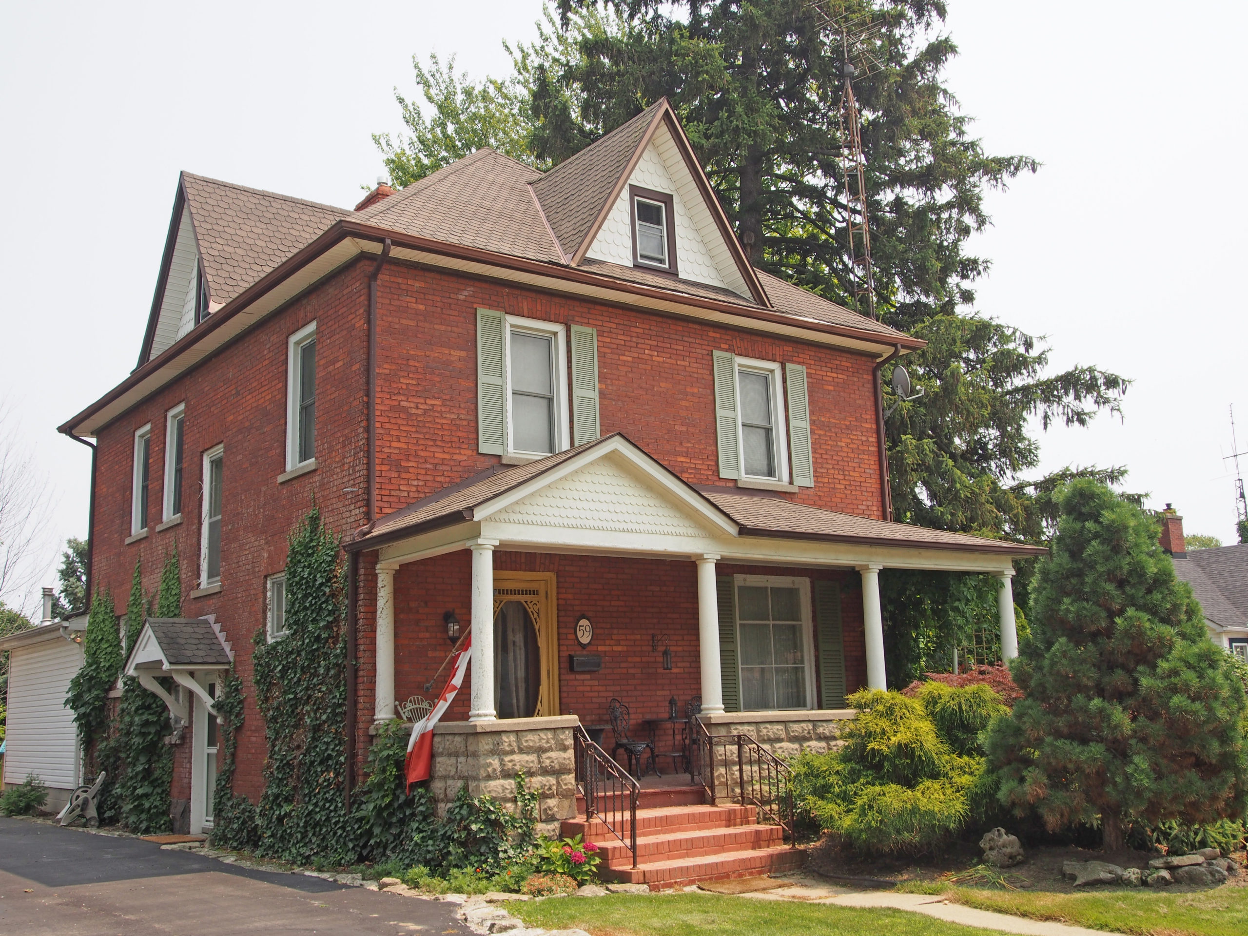
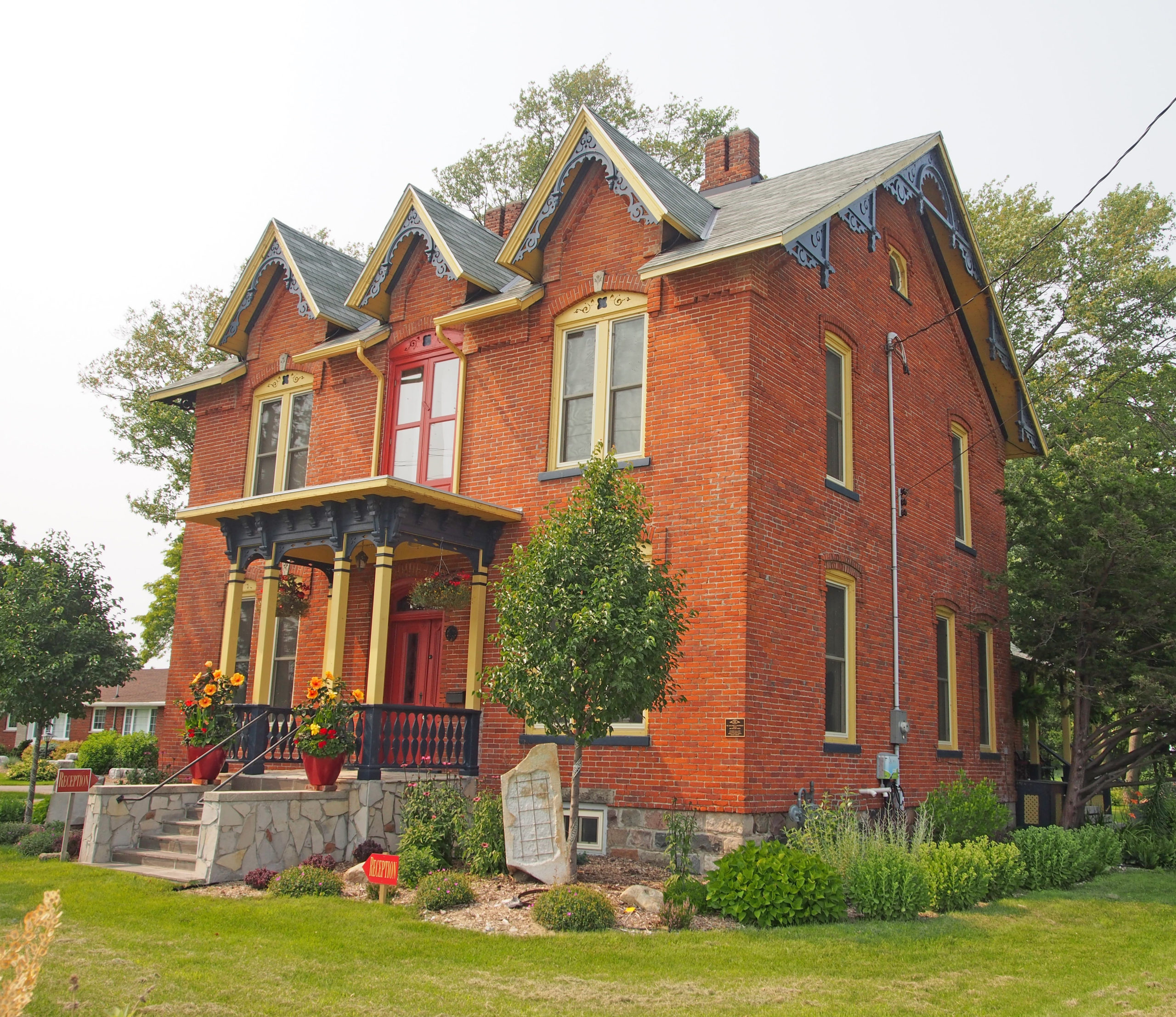
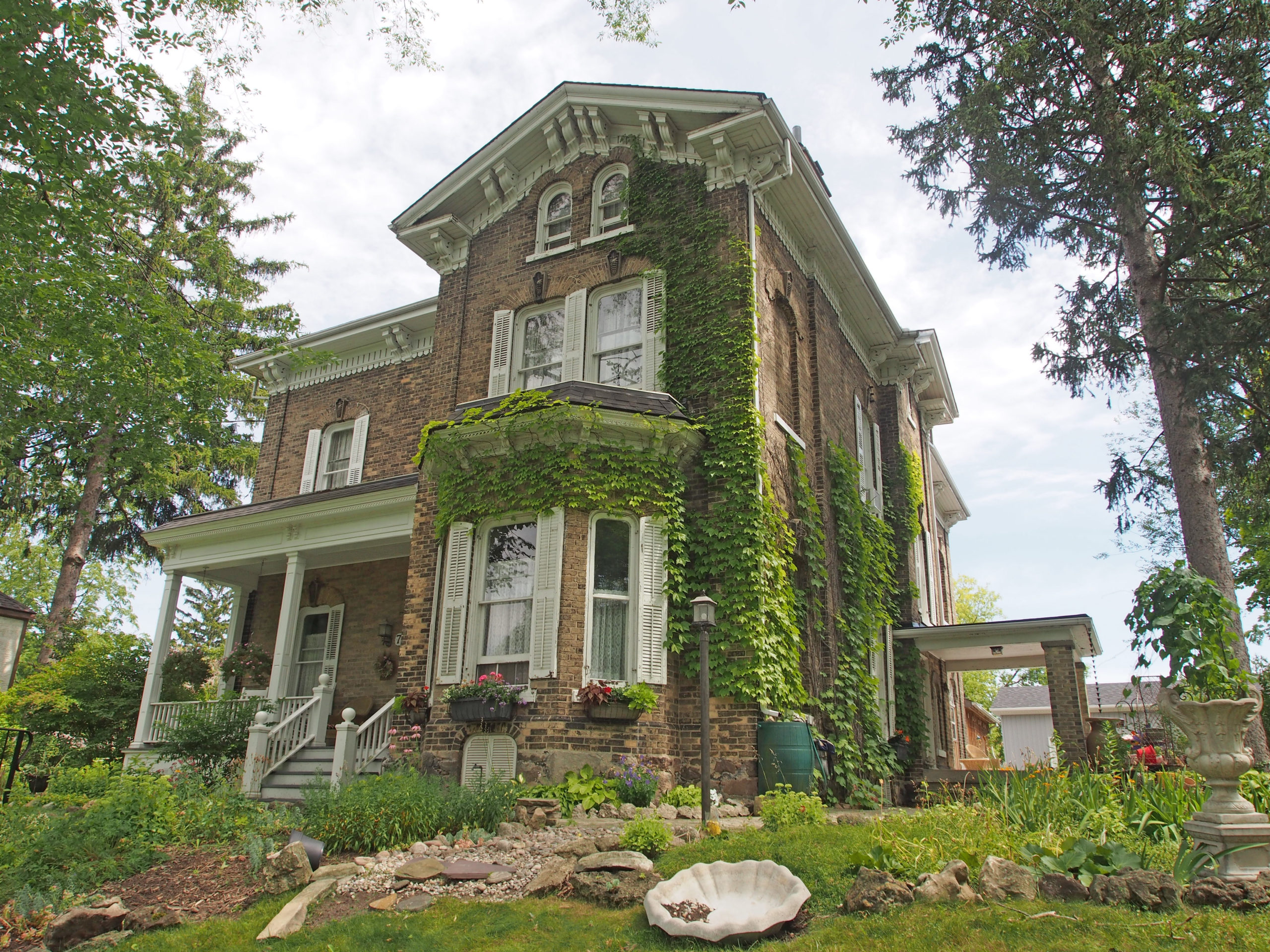
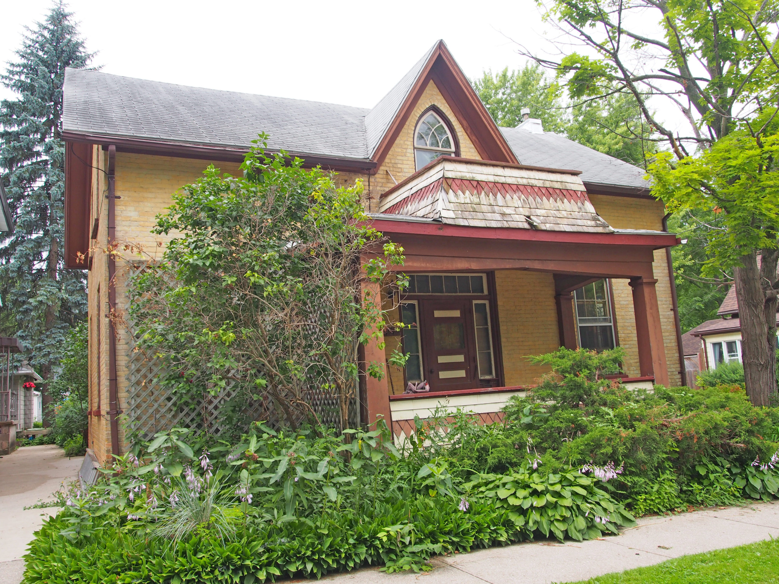
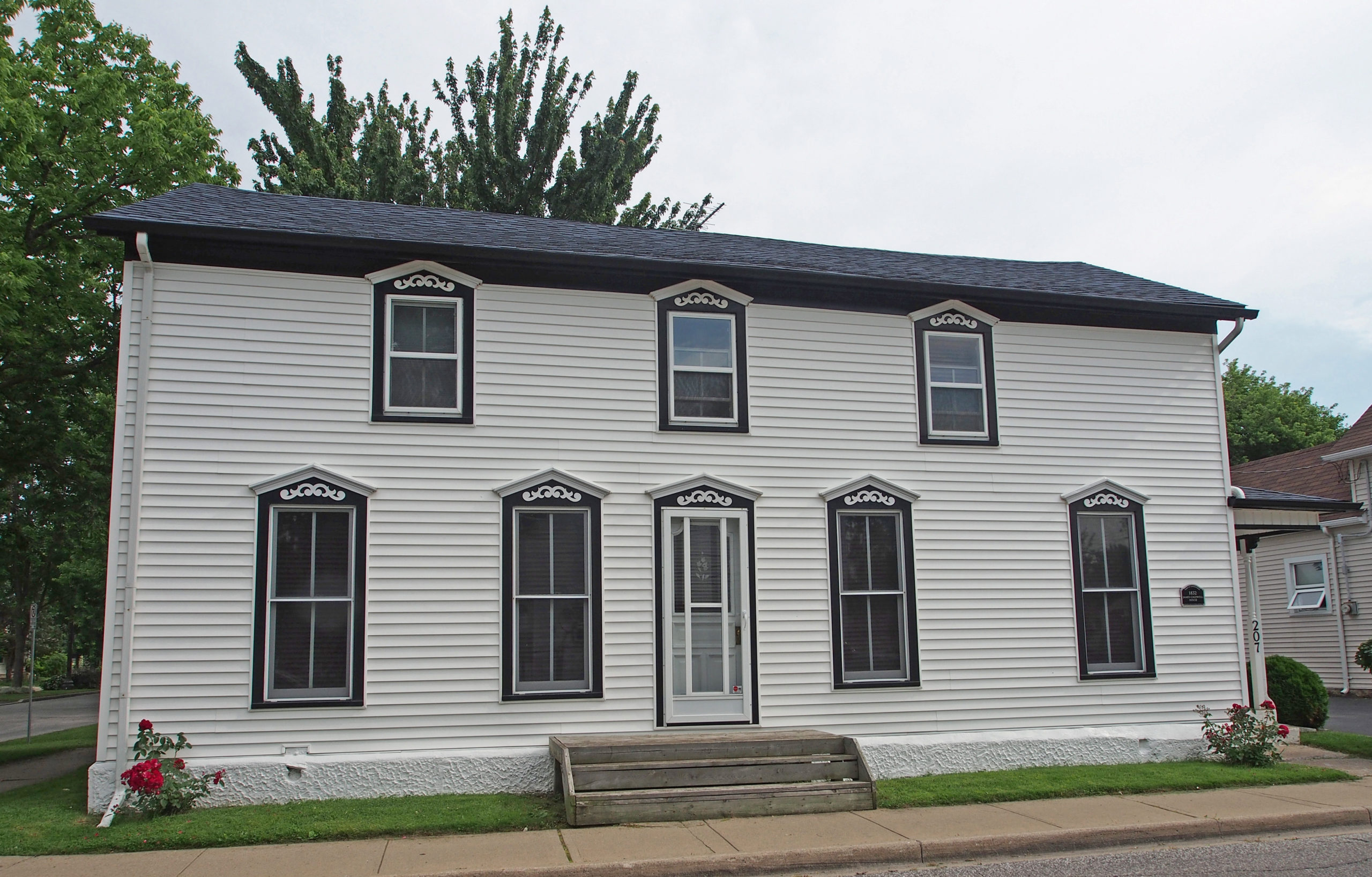
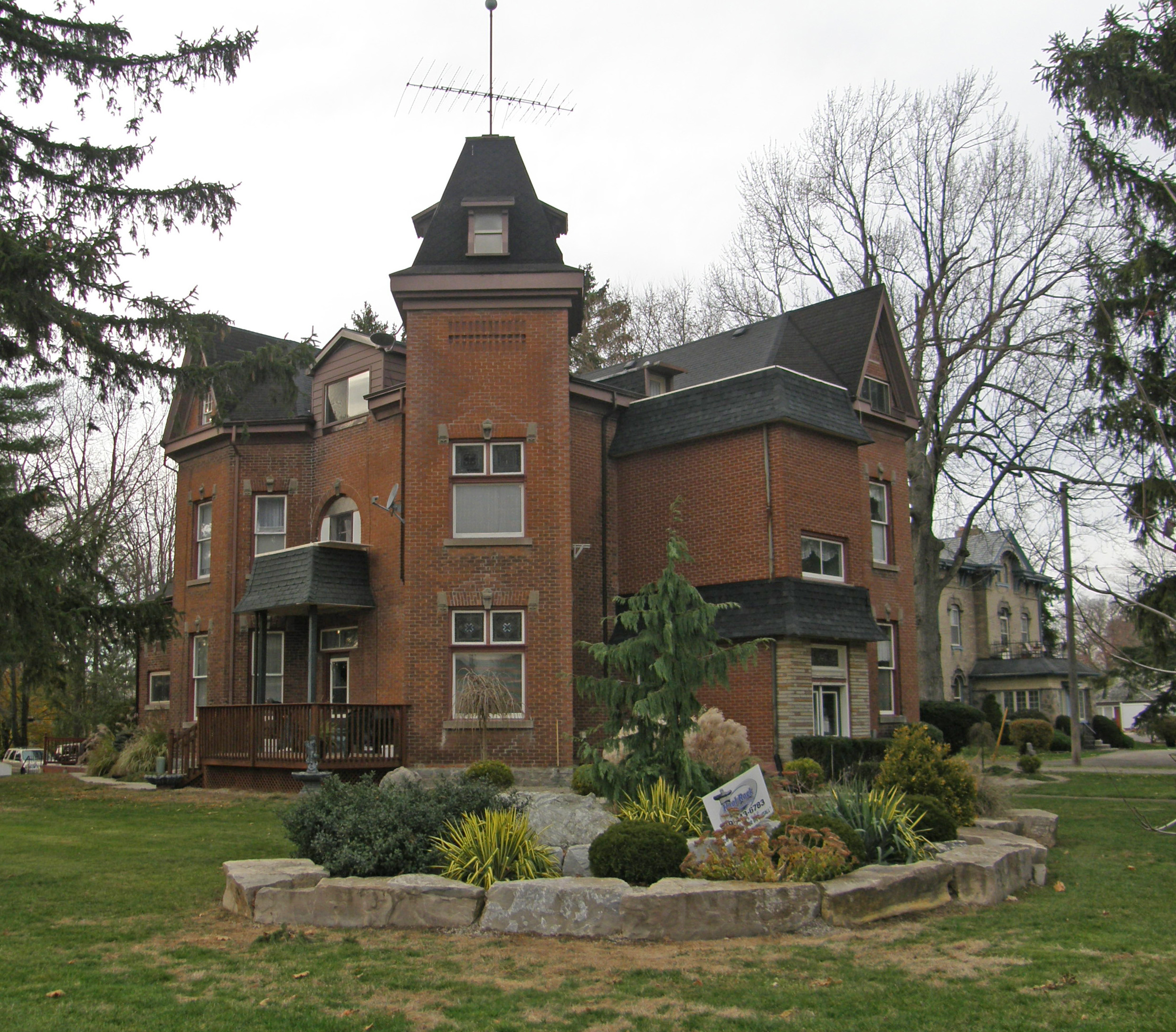
73 Wilson Street – Italianate/Second Empire – type of mansard roof with dormers, paired cornice brackets, bay window, window hoods – Woodstock Book 1

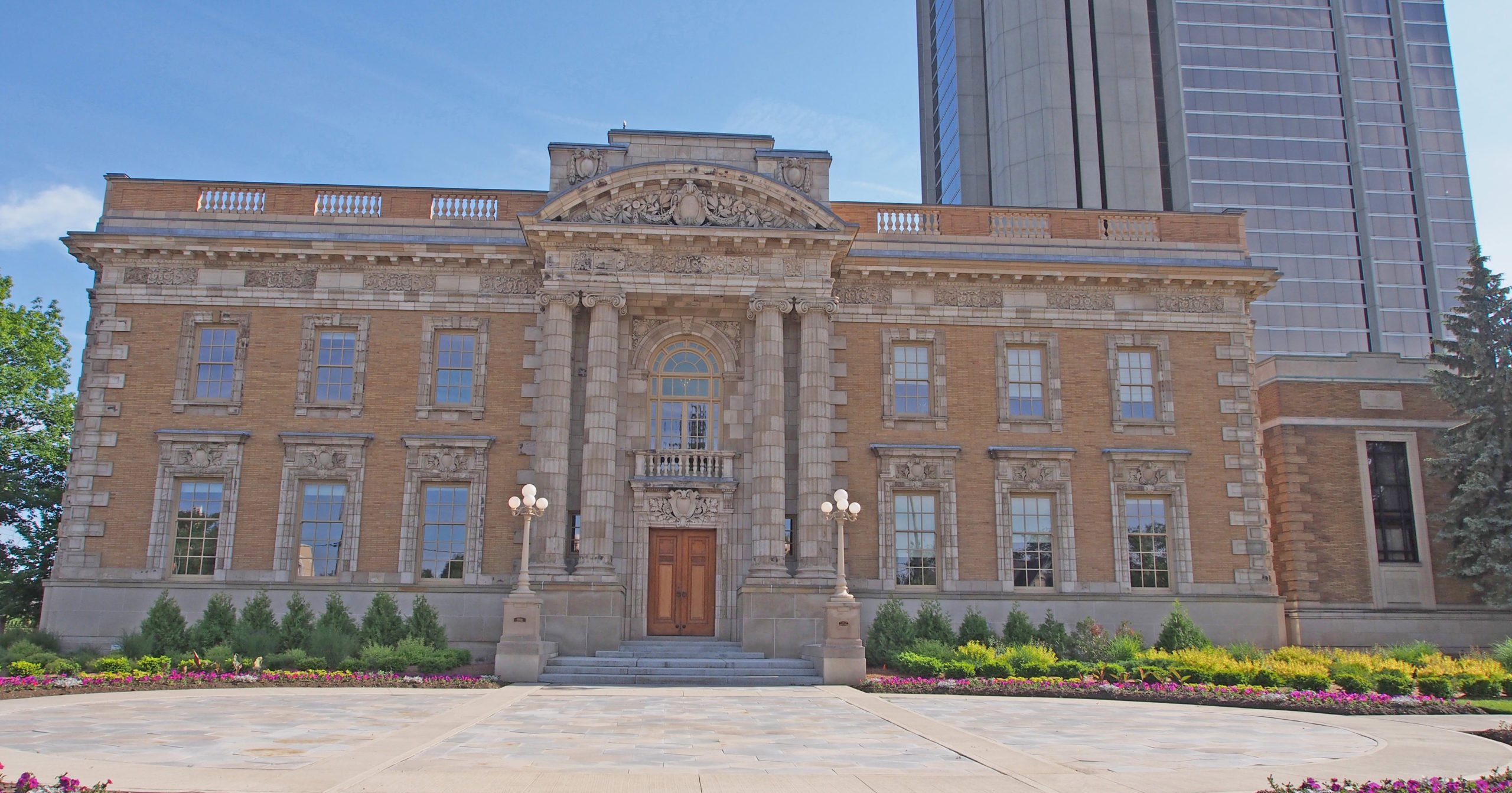
500 Dundas Street – the current City Hall was constructed of warm sandstone in 1899 as a post office; for over one hundred years it has been the center of the municipal and social life of Woodstock. The corner tower has four clocks. It housed the local government and served as lecture hall, opera house, and assize court. It is basically eighteenth century Palladian architecture. Round- headed windows with heavy surrounds reflect Italianate Revival – Book 1

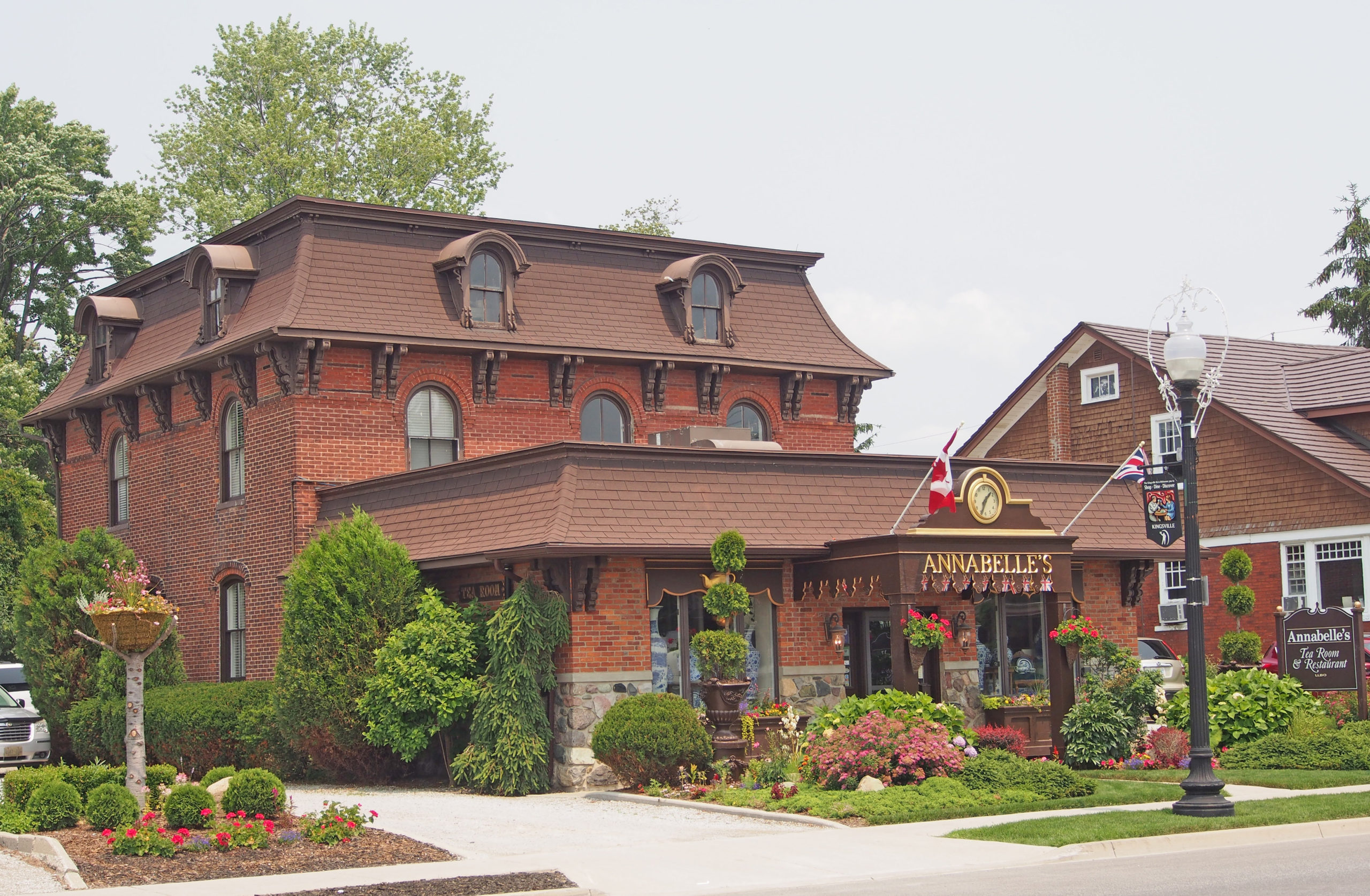
Finkle Street – The Oxford Hotel, located across from Market Square and the Town Hall in Woodstock was built in 1880 as “The O’Neill House†in Romanesque style. It saw guests such as Oscar Wilde and Reginald Birchall. – Book 1

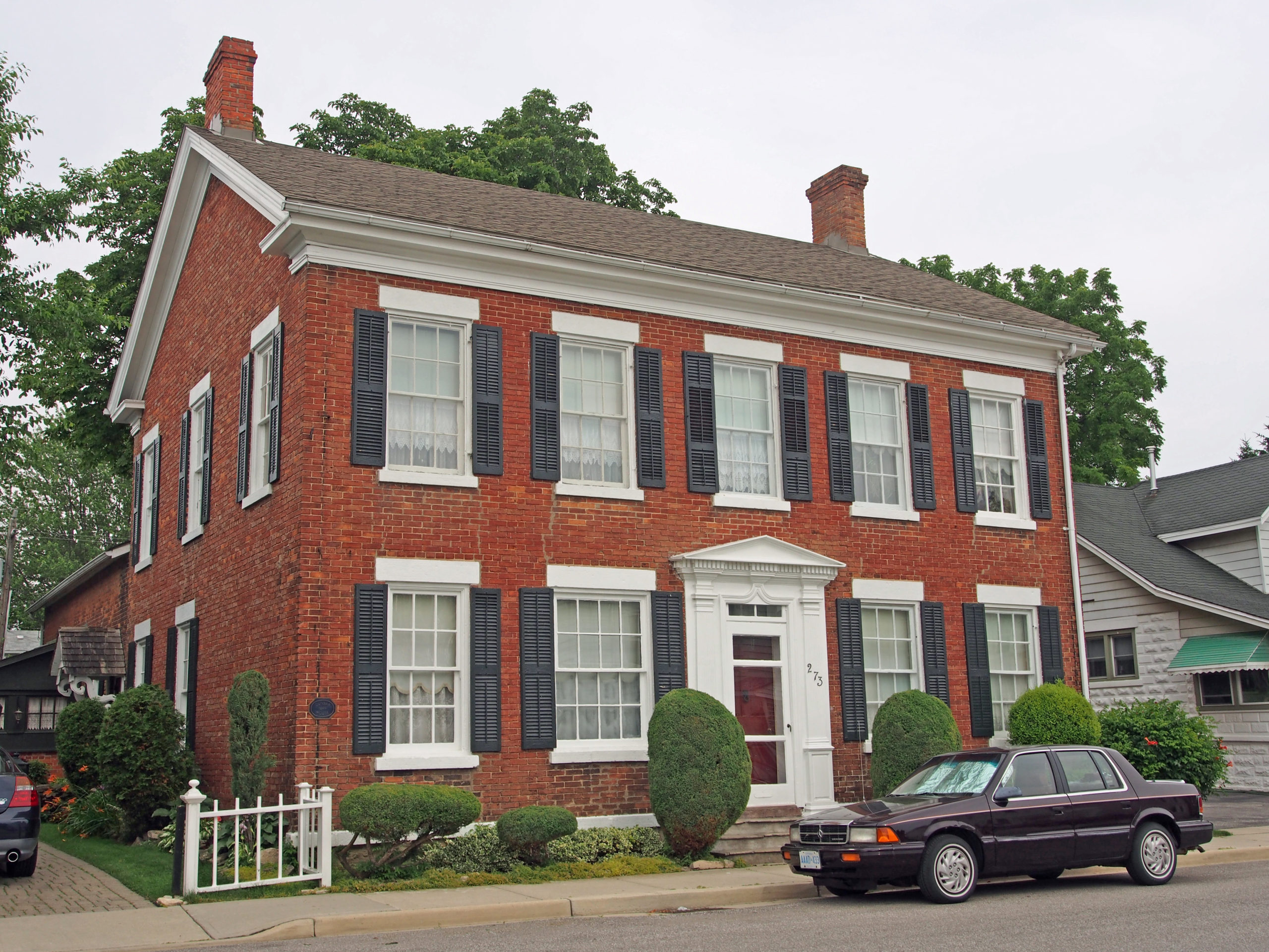
39 Victoria Street – Neo-Classical cottage is a 1½ storey buff brick home, hip roof, centred dormer; windows have wooden lintels and brackets supporting the sills; three panel double door on the storm porch has an interesting window shape in the door; field stone foundation – Book 1

447 Buller Street – Colonial Revival, shed dormer – Book 1

126 Graham Street – Park Place Retirement Centre – Second Empire style – mansard roof, window hoods, decorative cornice – Book 1

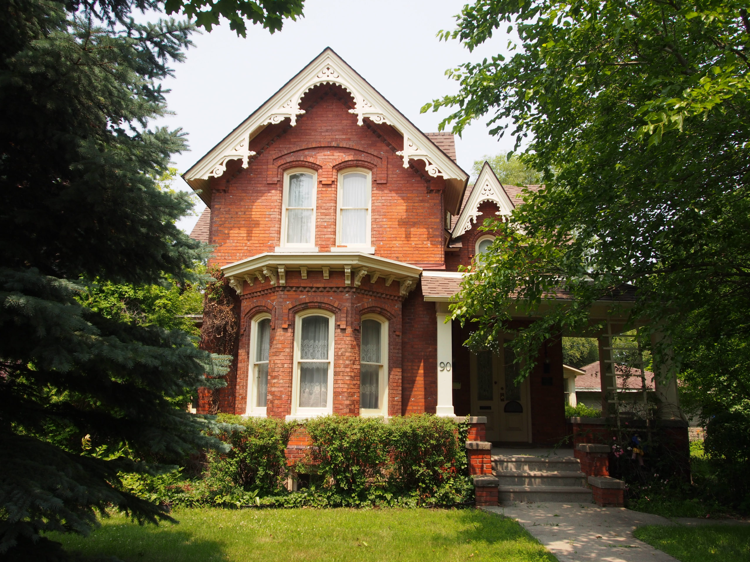
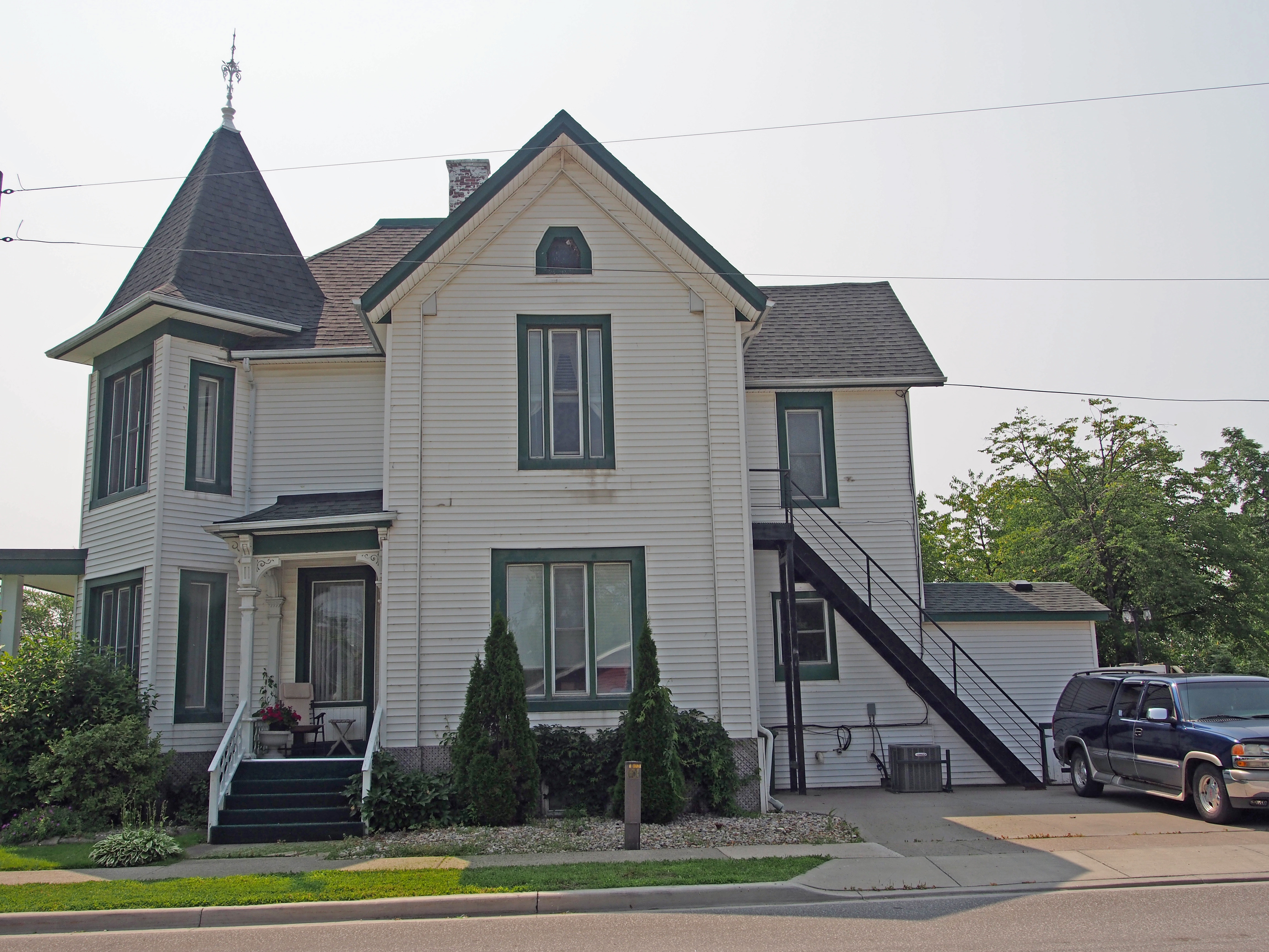
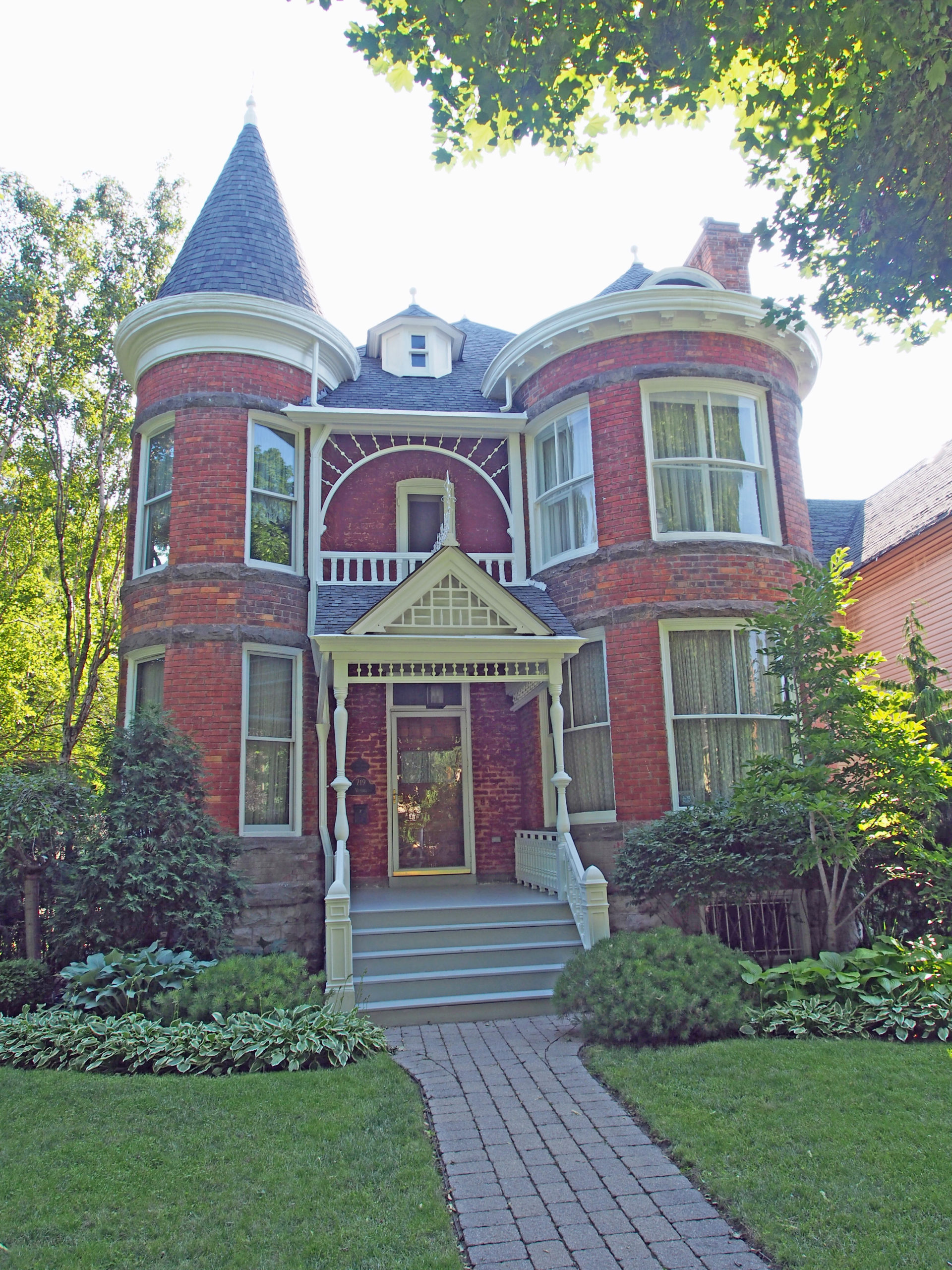
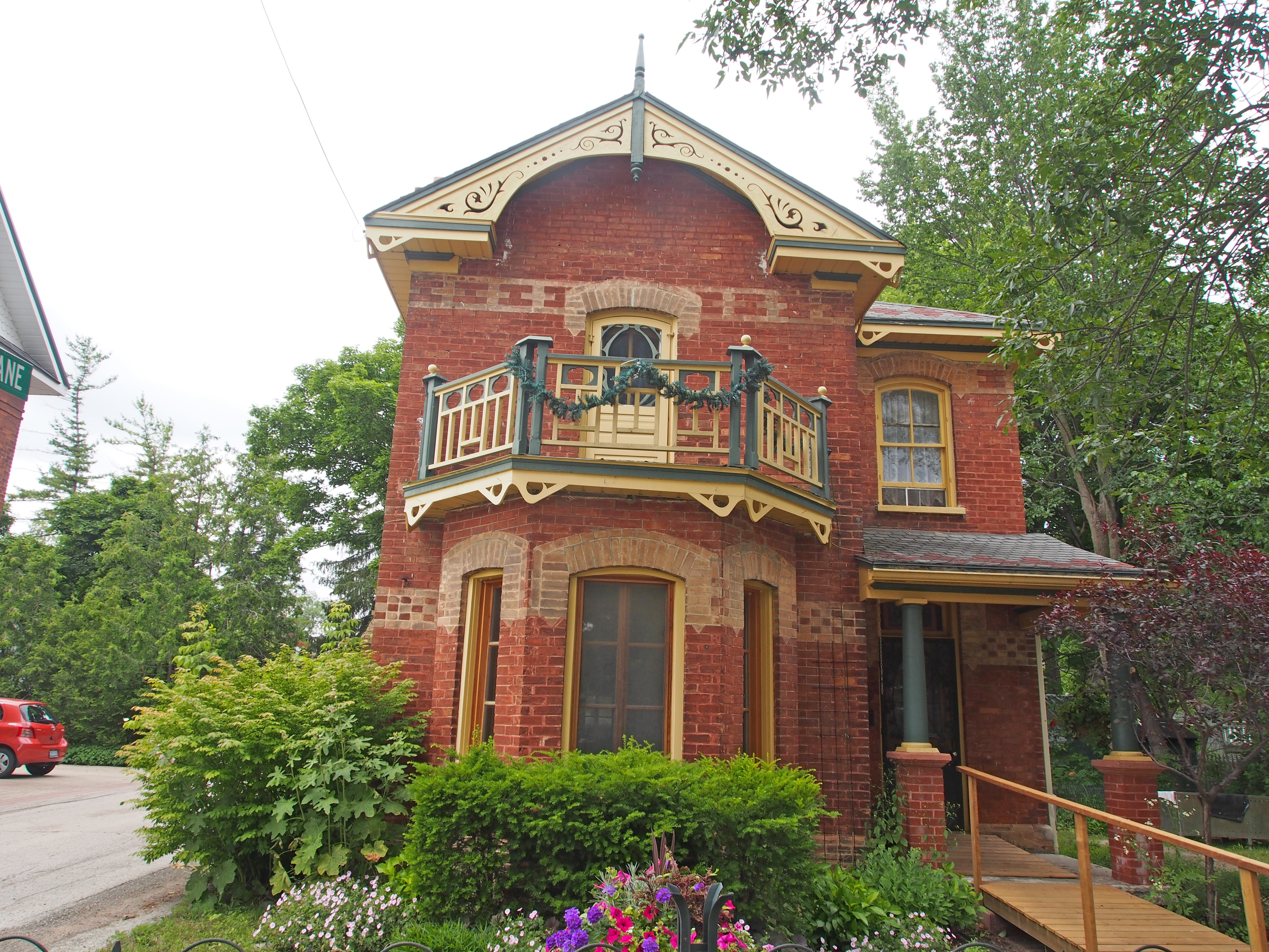
36 Wellington Street North – two storey turret, dormers, second floor balcony with spindle decorative work – Woodstock Book 2

48 Wellington Street – Italianate, hipped roof, paired cornice brackets, window hoods, corner quoining, entrance – Book 2
39 Victoria Street – Neo-Classical cottage is a 1½ storey buff brick home, hip roof, centred dormer; windows have wooden lintels and brackets supporting the sills; three panel double door on the storm porch has an interesting window shape in the door; field stone foundation – Book 1
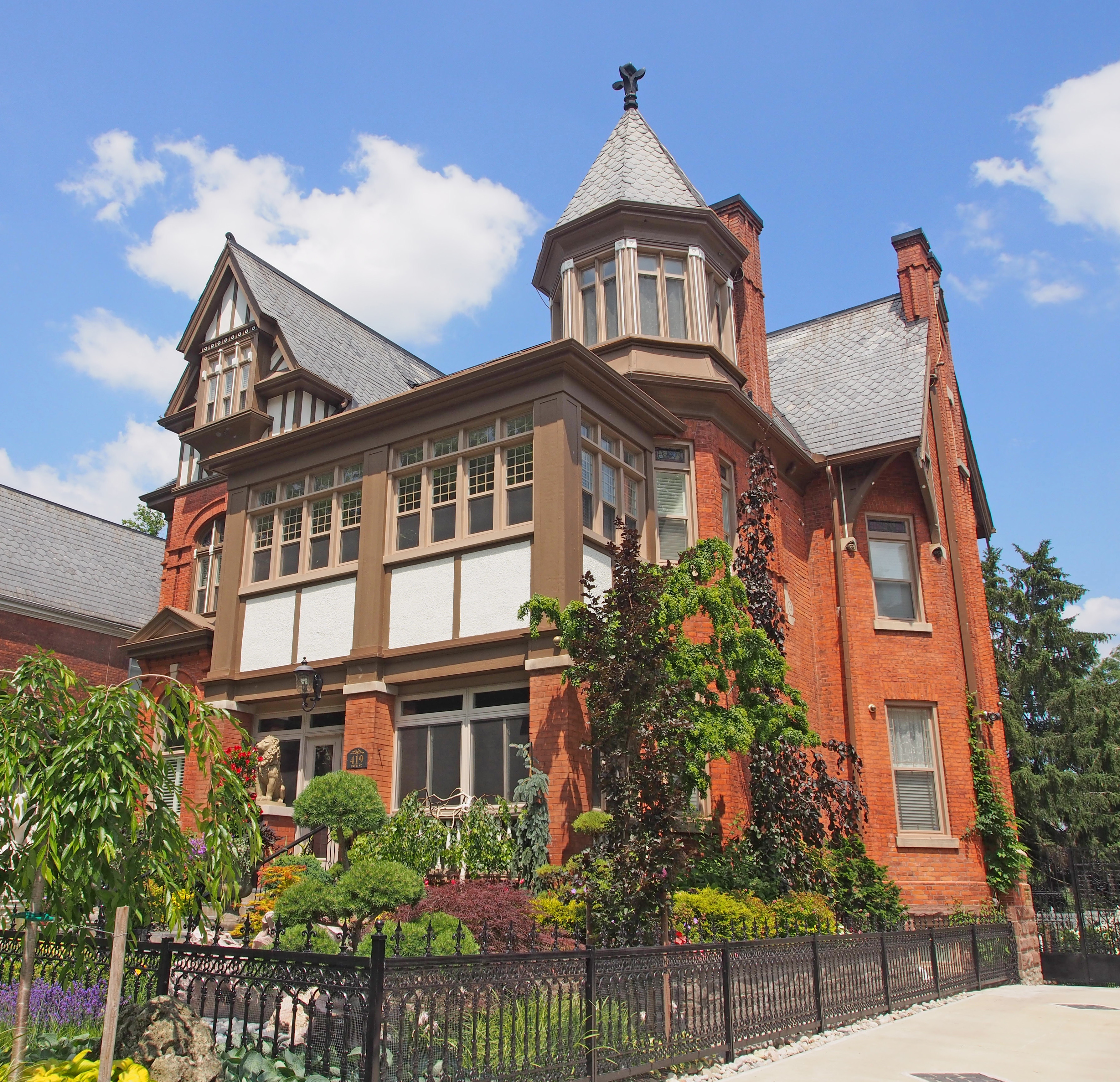
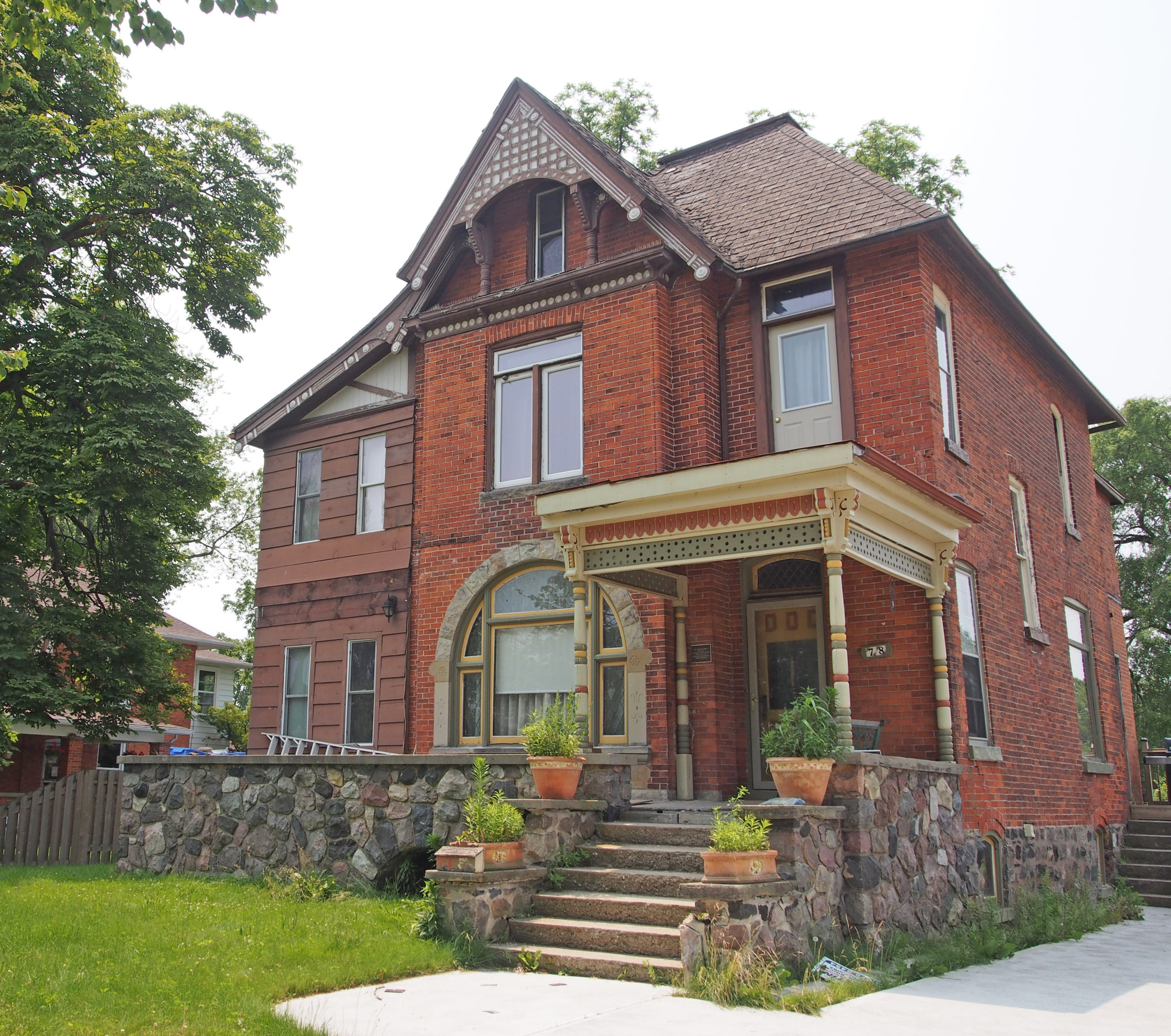
419 Drew Street – Queen Anne – turret, some Tudor style detailing – Book 2

81 Light Street – triple gable Gothic Revival – verge board trim on gables, pediment – Book 2

415 Hunter Street – County Court House – 1892 – a massive building of sandstone in the Richardsonian Romanesque style, with a complex roof line; oriel window; monkey heads are hidden among the capitals of the red marble pillars at the two front entrances, and there is a monkey at the peak – Woodstock Book 3

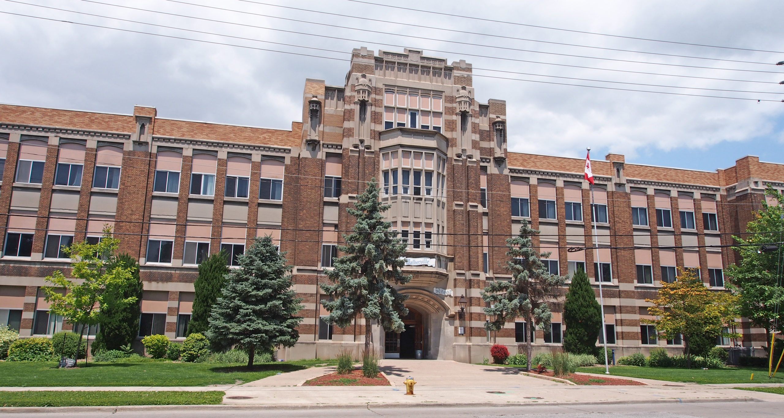
410 Hunter Street – Central Public School – built in 1880 – two impressive identical entrances, decorative brickwork separating the first and second floors, decorative gables on a steeply pitched roof, cornice brackets, saw tooth dentiling – Book 3

393 Hunter Street – Second Empire style – mansard roof with dormers with finials on window hoods, cornice brackets – Book 3

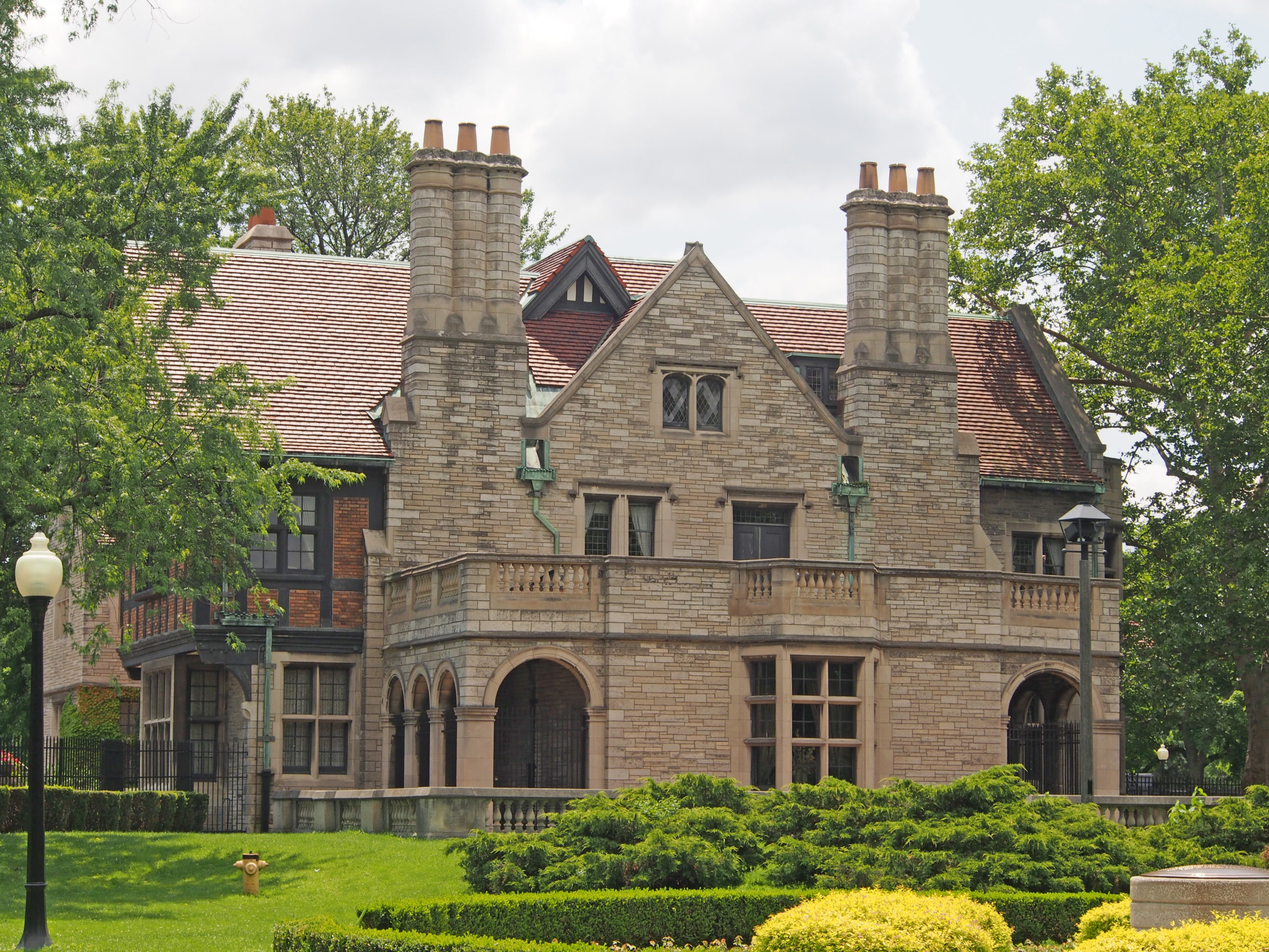
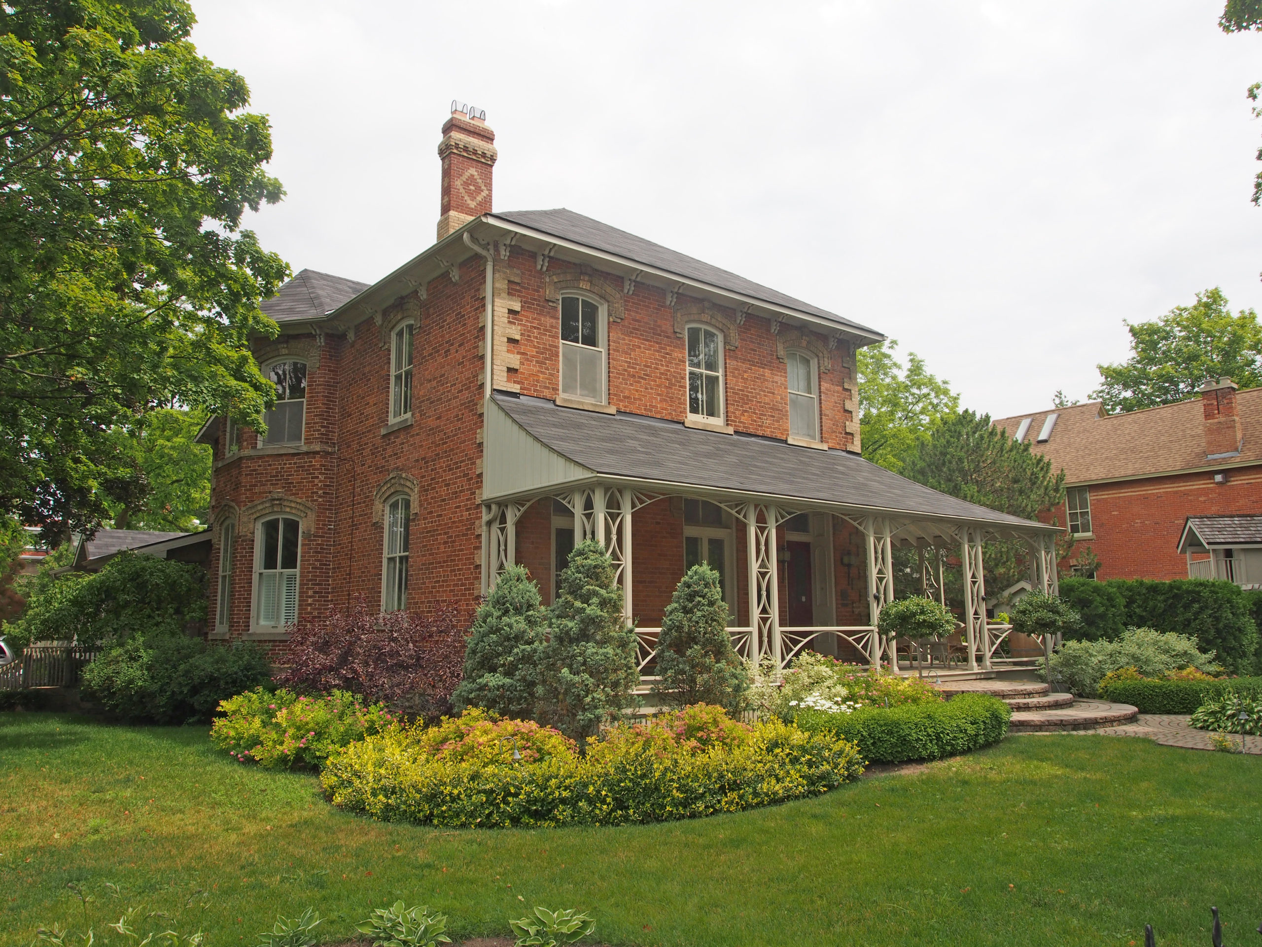
84 Vansittart Avenue – Parker House – built in 1864 – Italianate villa, small balconies, round-headed windows in groups, paired ornamental brackets supporting the roof,
3½ storey tower with decorative finial – Book 3

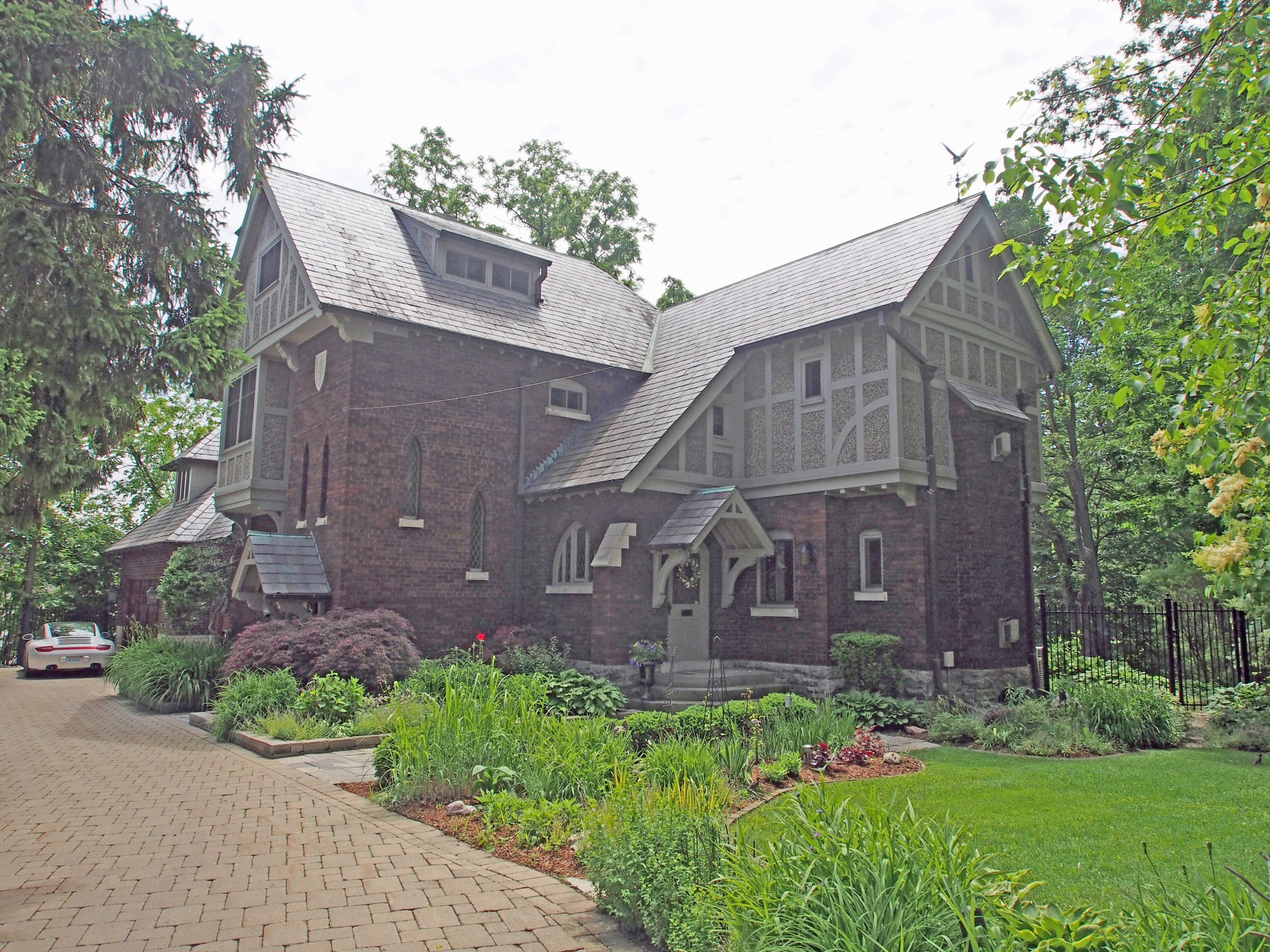
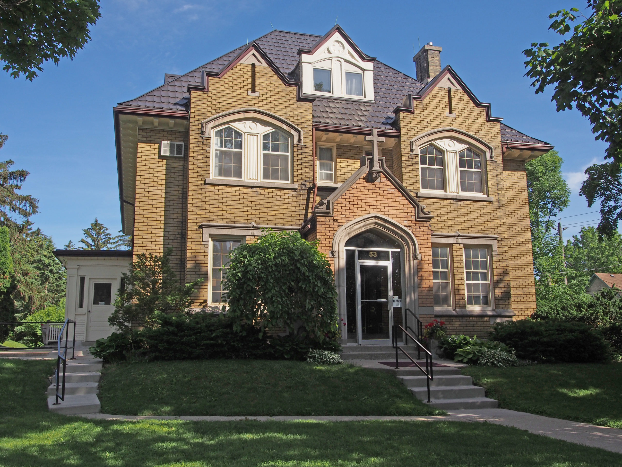
210 Vansittart Avenue – built in 1895 by Thomas L. Wilson, inventor of the first commercial calcium-carbide process for the manufacturer of acetylene gas. It was the residence of the Sisters of St. Joseph’s until 1975. It is a voluptuous house of irregular shape in Richardsonian Romanesque style using contrasting brick, cut stone and hanging tiles; offset tower with balcony and verandah, portico at the front entrance – Book 3