Toronto, Ontario – My Top 7 Picks
Toronto, the largest city in Canada, the provincial capital of Ontario, is located in Southern Ontario on the northwestern shore of Lake Ontario. During the American Revolutionary War, United Empire Loyalists fled from the United States to live on lands north of Lake Ontario. In 1787, the British Crown purchased more than a quarter million acres of land from the Mississaugas of the New Credit, and established a settlement called the Town of York. Lieutenant Governor John Graves Simcoe designated York as the capital of Upper Canada. Fort York was constructed at the entrance of the town’s natural harbor where it was sheltered by a long sand-bar peninsula. The town was captured and ransacked by American soldiers in the Battle of York during the War of 1812, and the parliament buildings were set on fire.
In 1834, York became a city and the name was changed to Toronto. In the 19th century, long-distance railway lines were constructed, including a route linking with the Upper Great Lakes. The Grand Trunk Railway and the Northern Railway of Canada joined in the building of the first Union Station. The railway brought more immigrants, and commerce and industry increased. Horse-drawn streetcars were replaced by electric ones in 1891. The great fire of 1904 destroyed a large section of downtown Toronto but the city was soon rebuilt with more stringent fire safety laws and the expansion of the fire department.
In 1954, the City of Toronto and twelve surrounding municipalities joined together into a regional government known as Metropolitan Toronto. The postwar boom resulted in rapid suburban development, and the metropolitan government began to manage services that crossed municipal boundaries, including highways, police services, water and public transit. In that year, disaster struck the city when Hurricane Hazel brought high winds and flash flooding causing the deaths of 81 people in the Toronto area, and leaving about 1,900 families homeless.
Toronto covers an area of 630 square kilometers stretching 21 kilometers (13 miles) from north to south and 43 kilometers (27 miles) east to west. The waterfront shoreline is 46 kilometers (29 miles) long. The Toronto Islands and Port Lands extend out into the lake. The city’s borders are formed by Lake Ontario to the south, Etobicoke Creek and Highway 427 to the west, Steeles Avenue to the north and the Rouge River and the Scarborough-Pickering Townline to the east. Today the city has a population of 2.6 million people.
The city is intersected by three rivers and many tributaries: the Humber River in the west end and the Don River east of downtown, and the Rouge River at the city’s eastern limits. The many creeks and rivers created large tracts of densely forested ravines, and provided sites for parks and recreational trails.
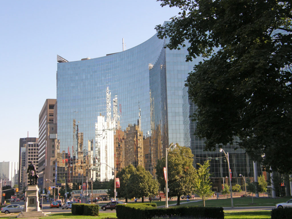
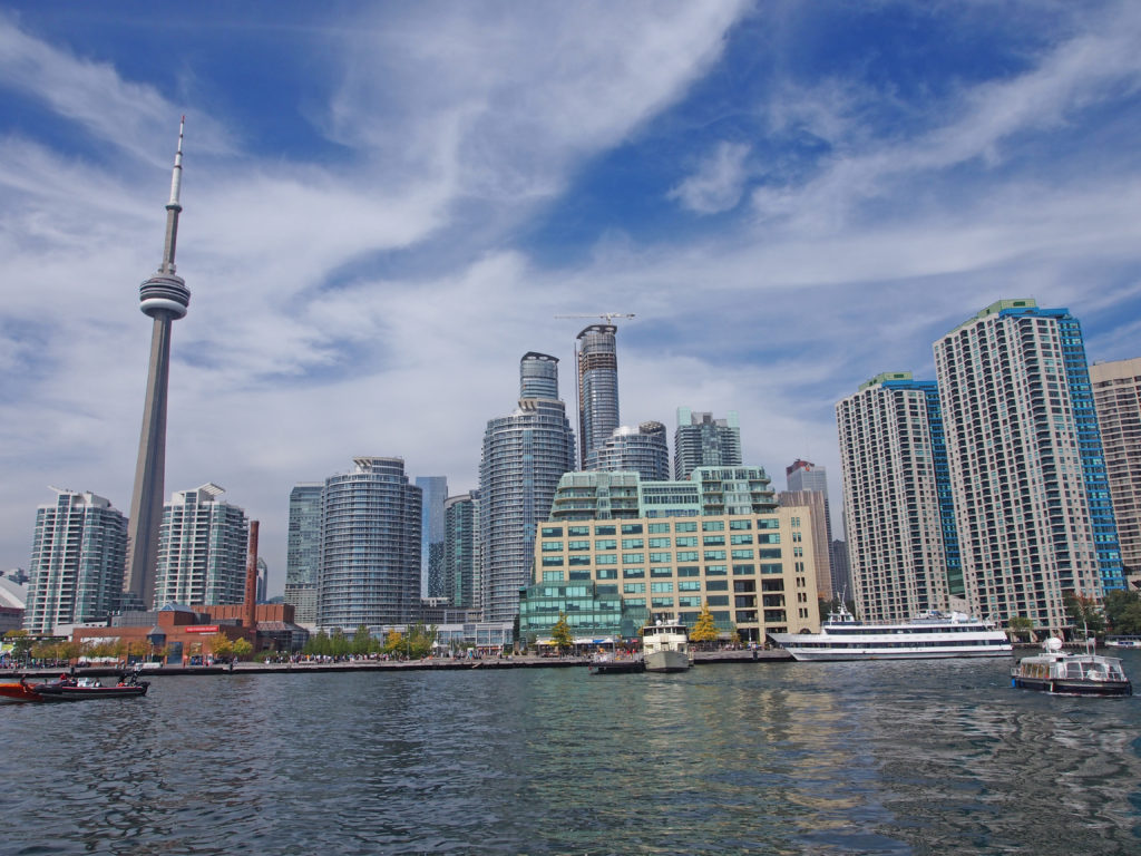
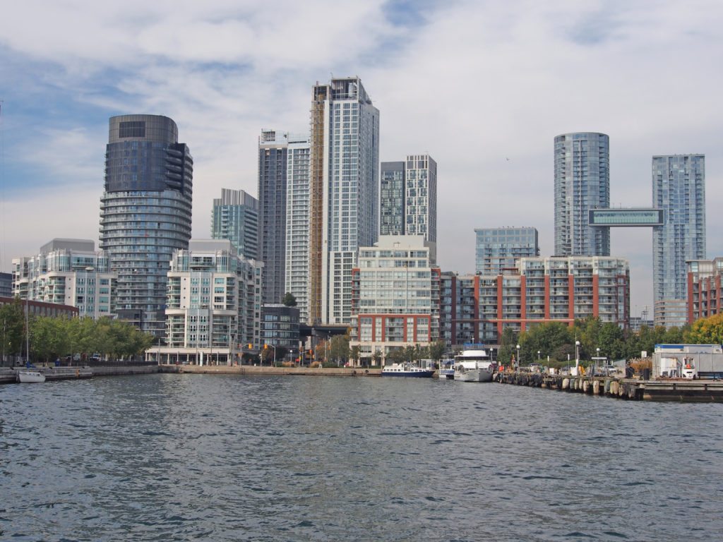
Toronto is a city of high-rises with 1,800 buildings over 30 meters (98 feet), most of them are residential having been built in the 1950s, while the central business district contains commercial office towers.
