Orillia, Ontario – My Top 5 Picks

Orillia, Ontario – My Top 5 Picks

Orillia is located in Central Ontario between Lake Couchiching and Lake Simcoe, 135 kilometers (84 miles) north of Toronto.  Both lakes are part of the Trent-Severn Waterway. Travel north on Lake Couchiching, then through three locks and the only marine railway in North America leads to Georgian Bay on Lake Huron.  Traveling south-east across Lake Simcoe, through many locks (including two of the highest hydraulic lift locks in the world) eventually leads to Lake Ontario.  From either of these Great Lakes one can connect to the St. Lawrence and then to the Atlantic Ocean.

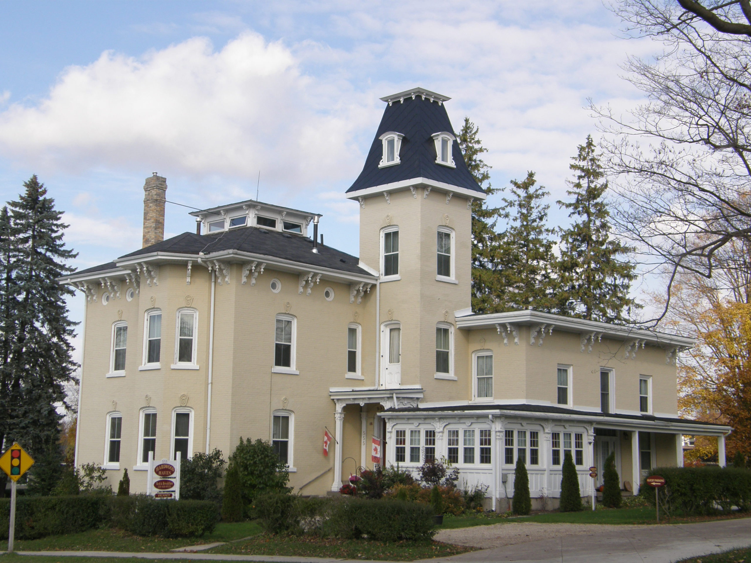
Due to logging and rail links with Toronto and Georgian Bay, Orillia became a commercial center and summer resort in the mid-1800s. William Tudhope opened a blacksmith shop in 1864 at Andrew and Colborne Streets.  By the end of the century, William’s son James headed the Tudhope Carriage Company as part of a conglomerate of businesses. In 1866, Thomas Mulcahy launched his mercantile career in dry goods with the opening of his California Store. Mulcahy and his sons were responsible for the construction of many of Orillia’s dwellings and commercial buildings. Andrew Tait was the President of the Huntsville Lumber Company. Tait was a major employer and said to be Orillia’s first millionaire.

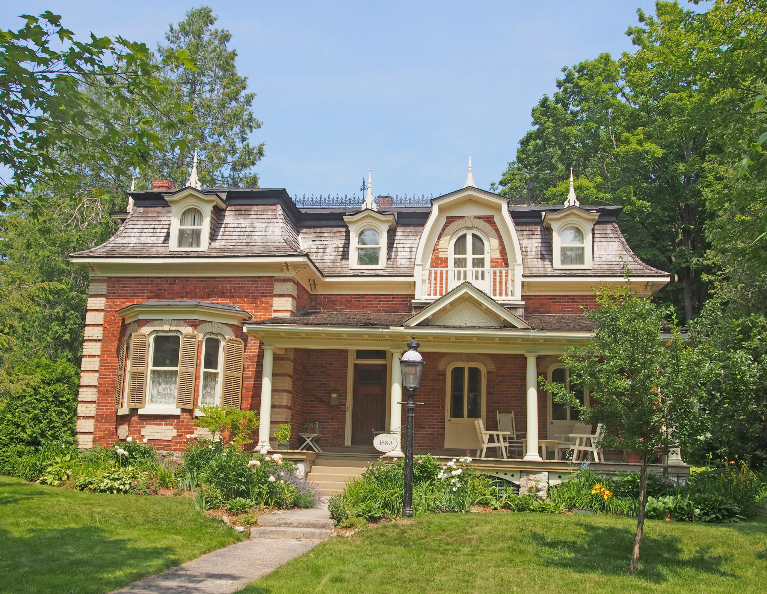
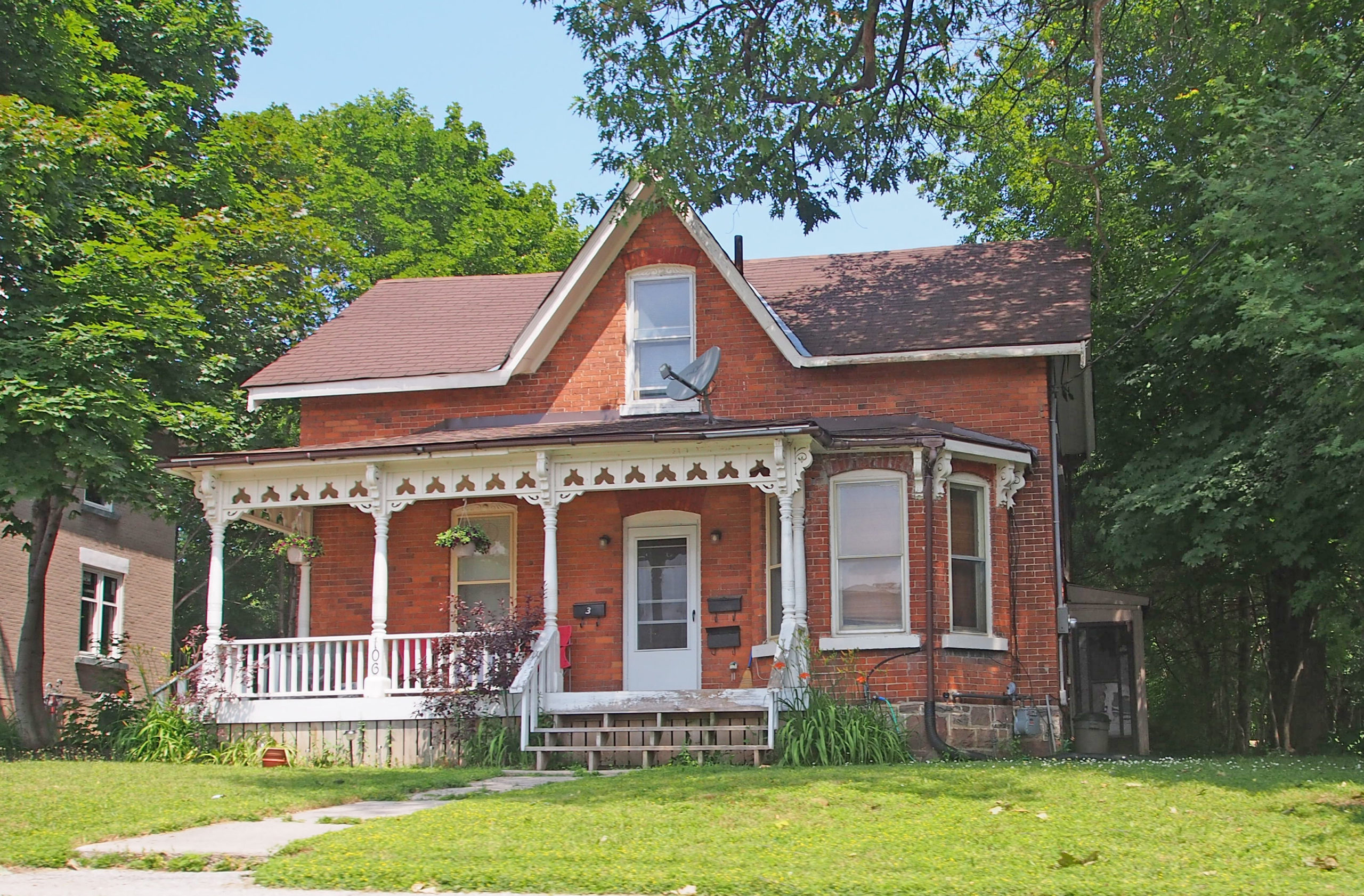
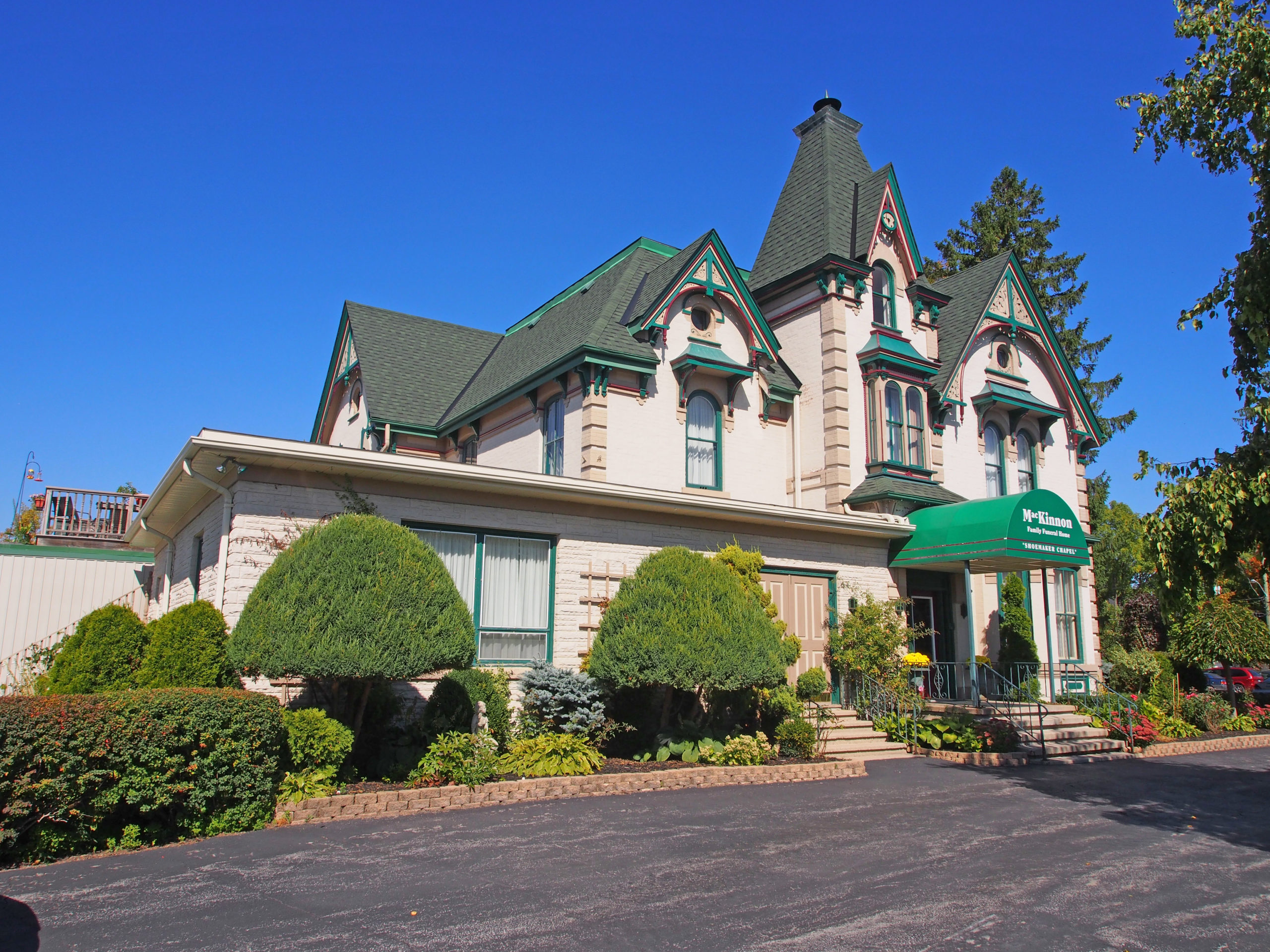
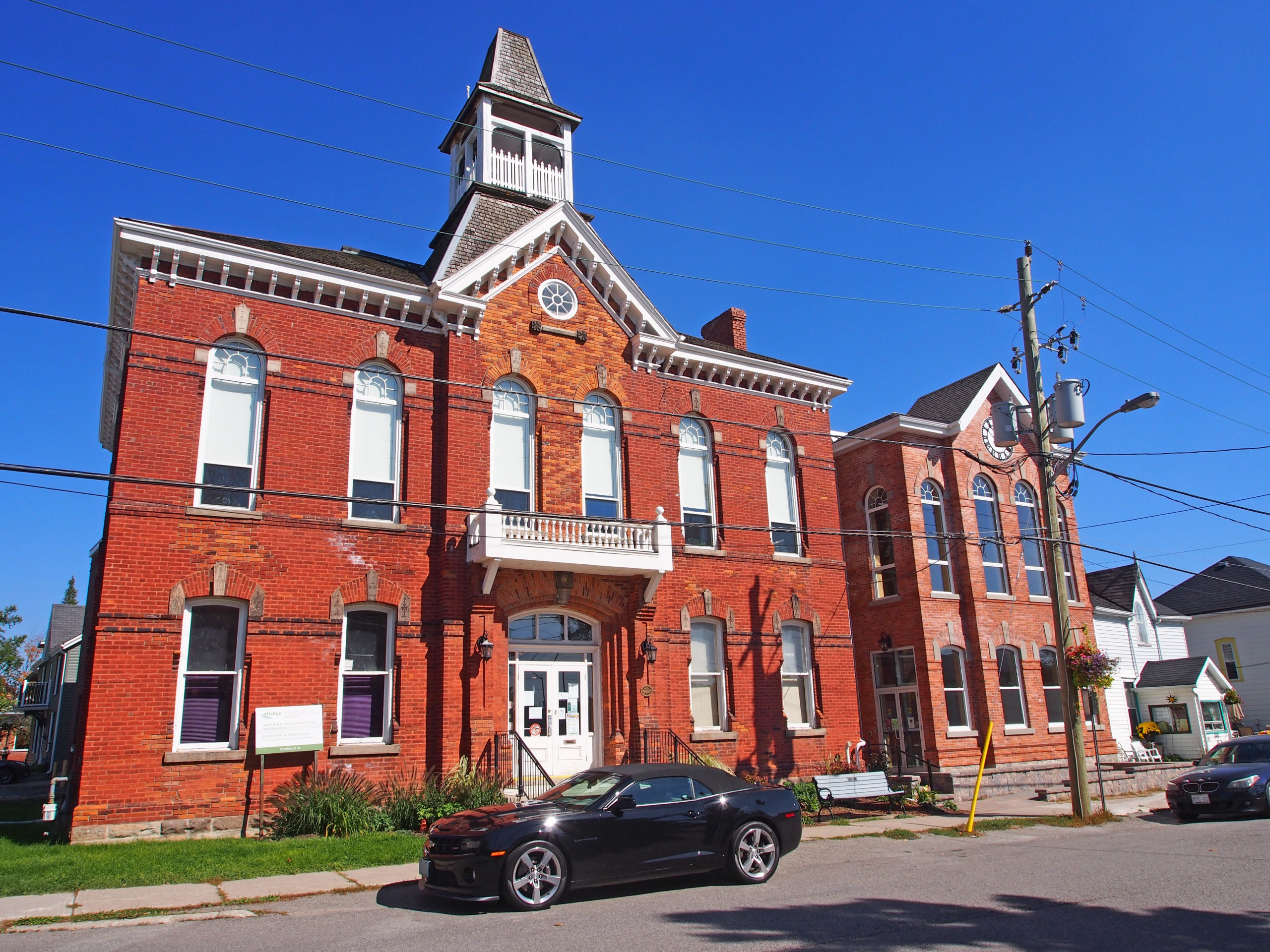
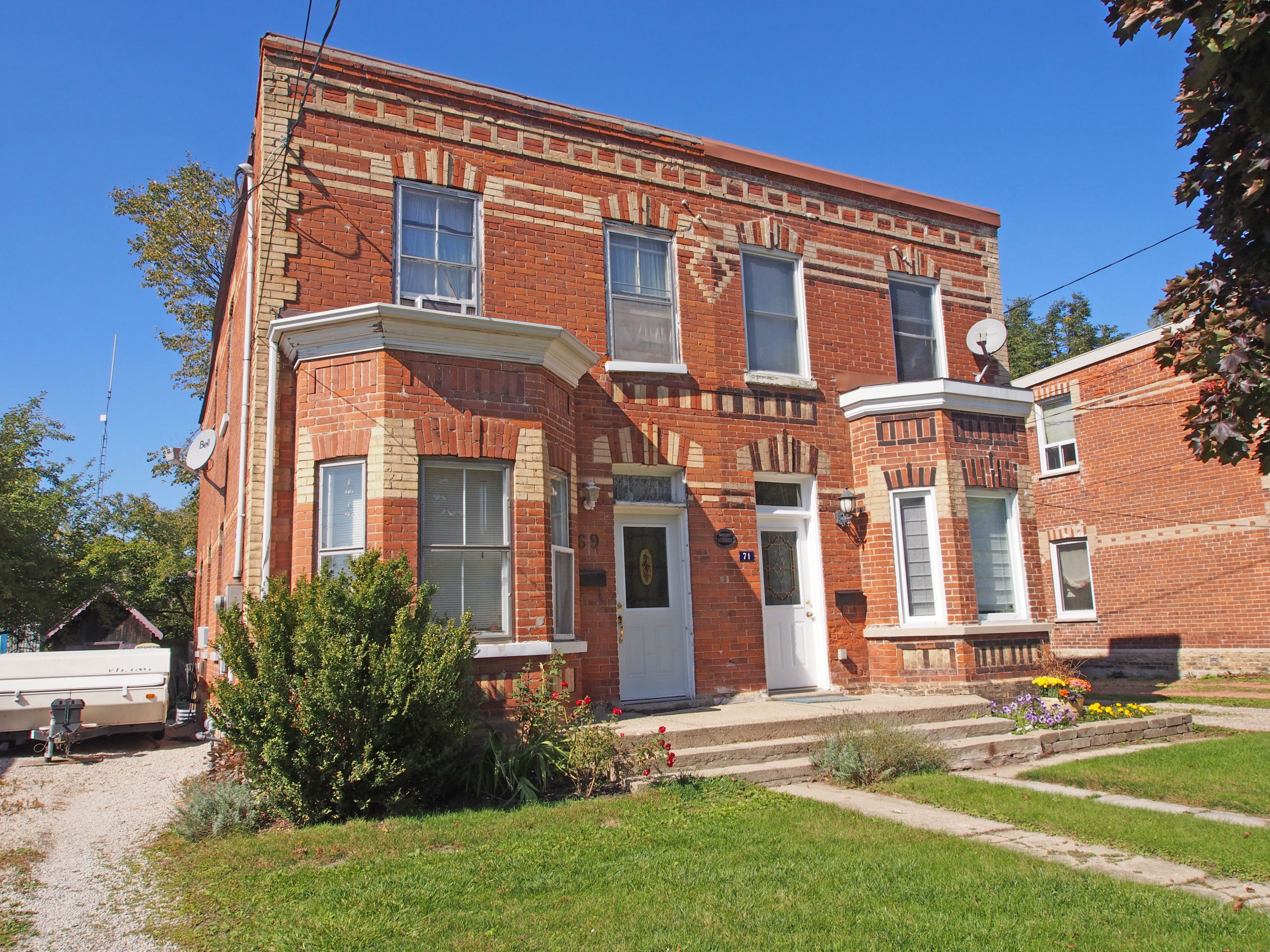
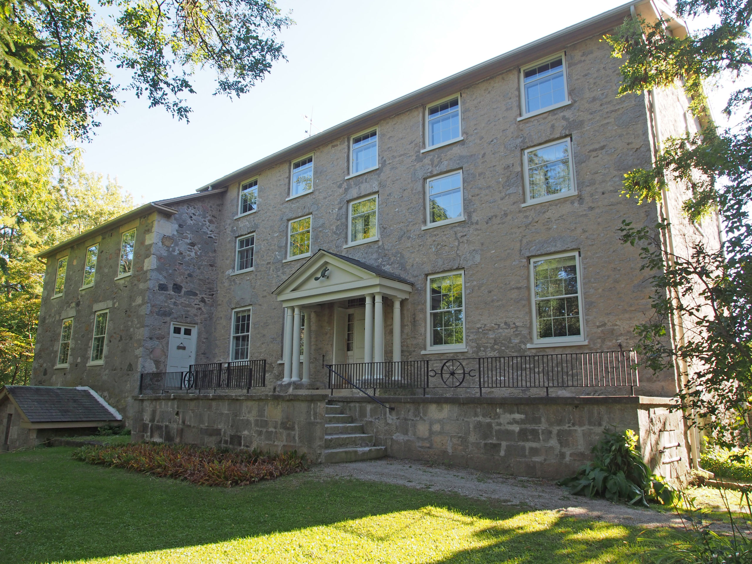
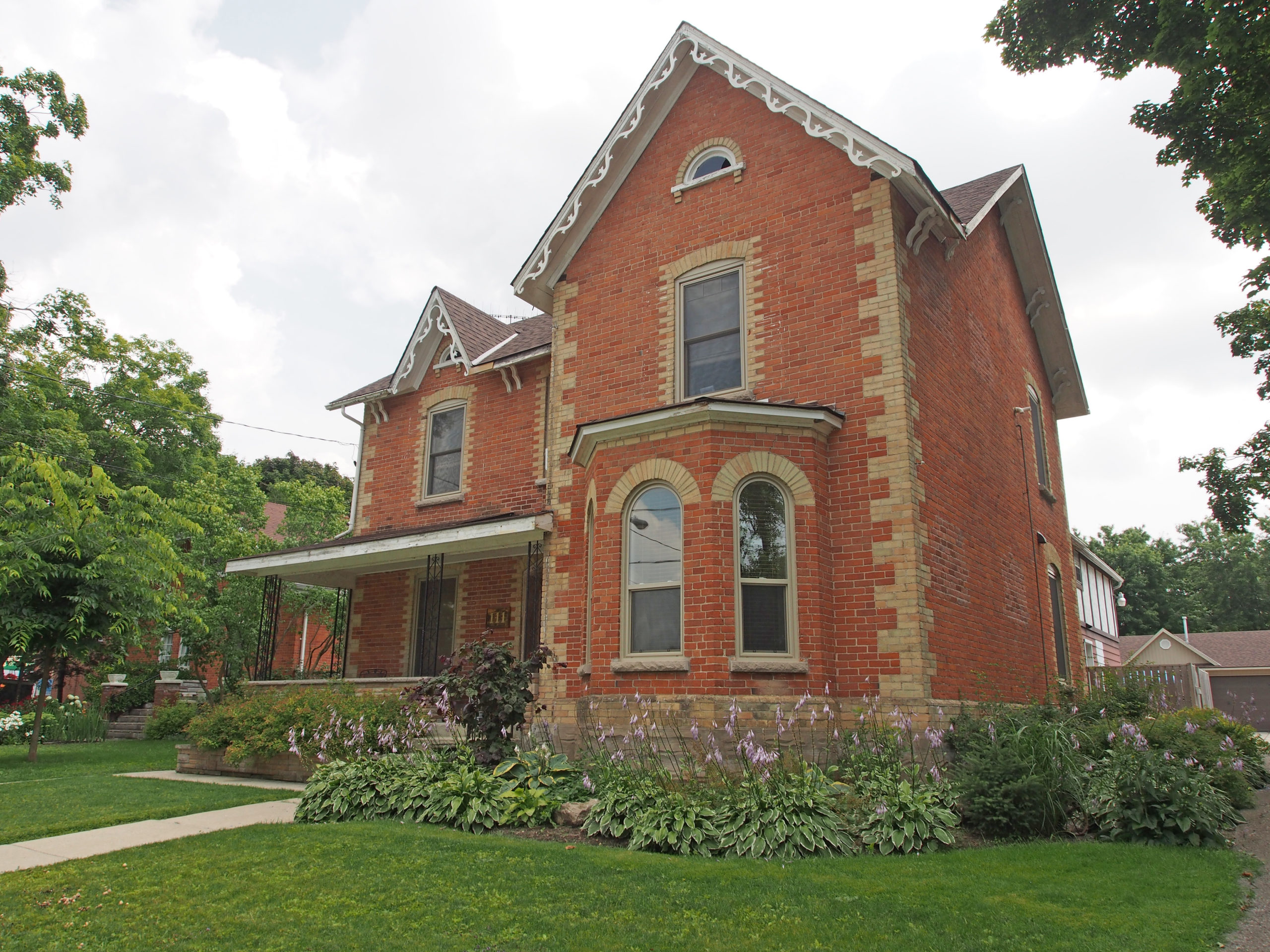
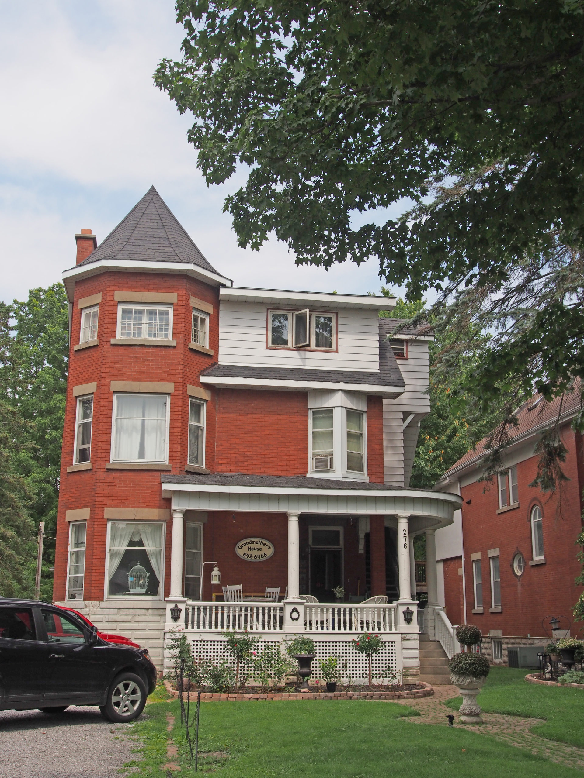
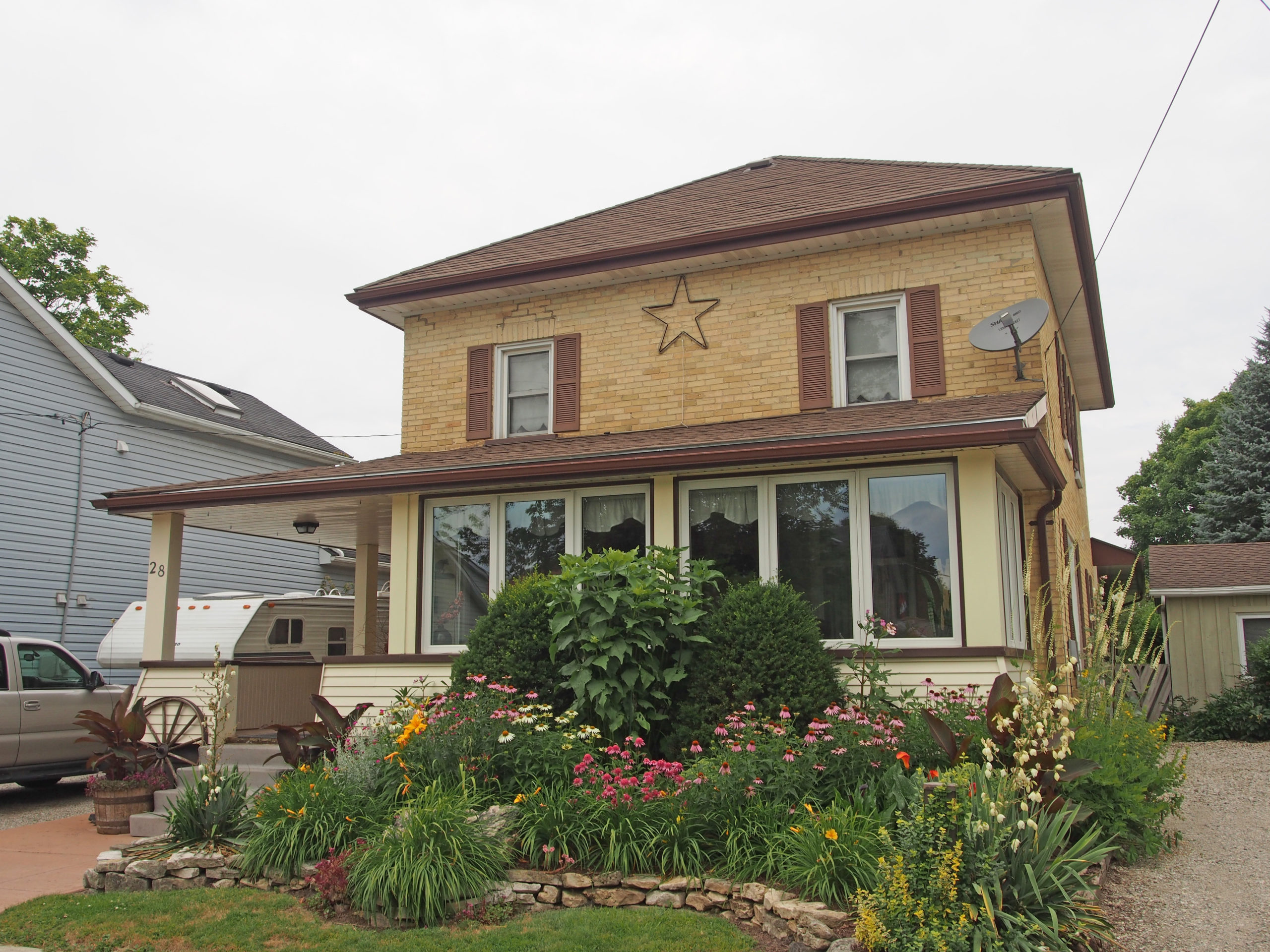
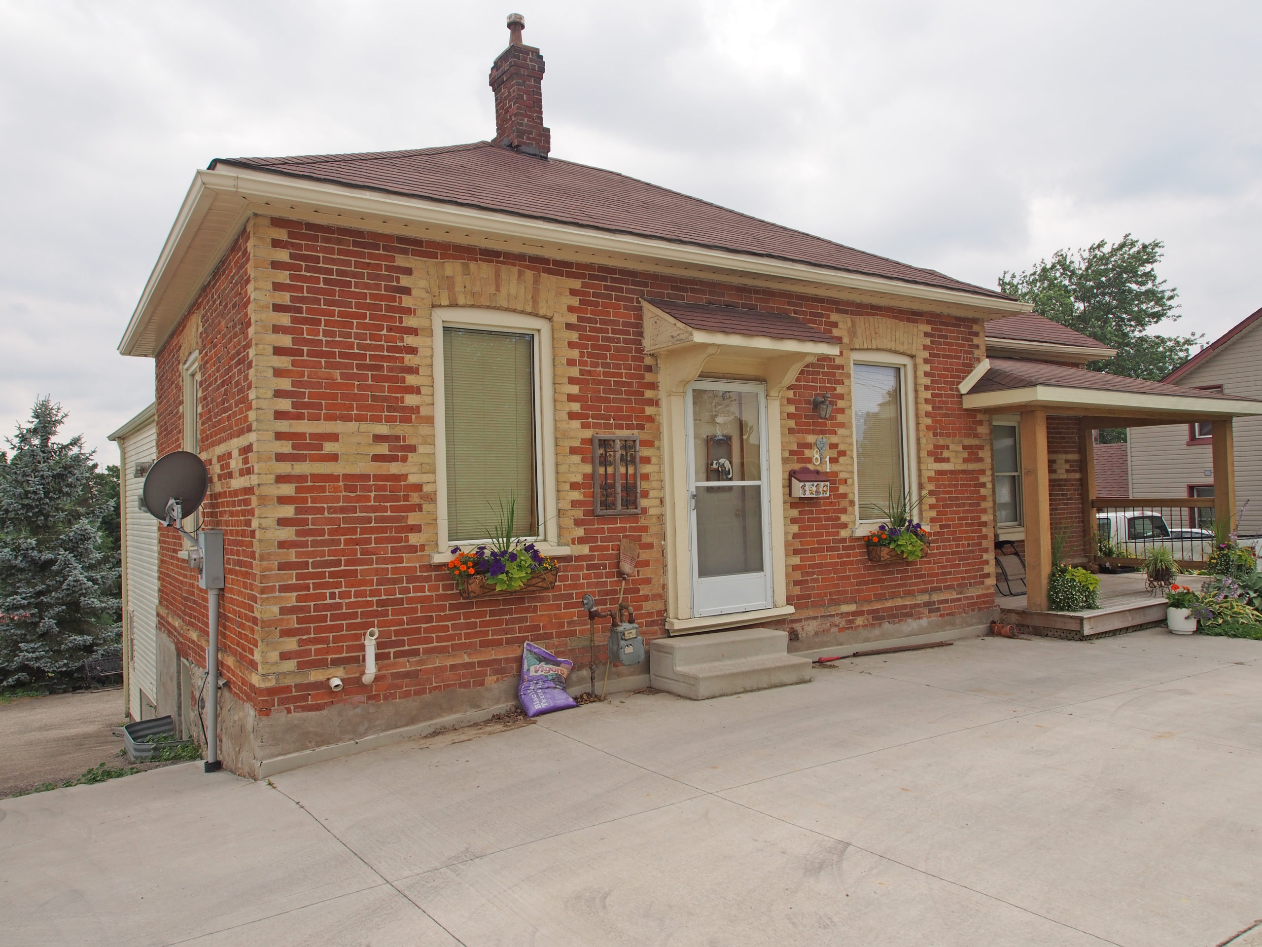
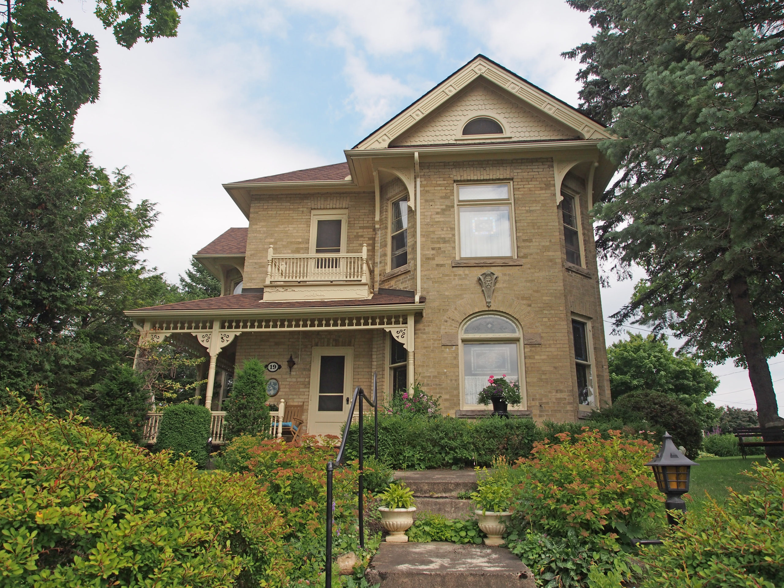
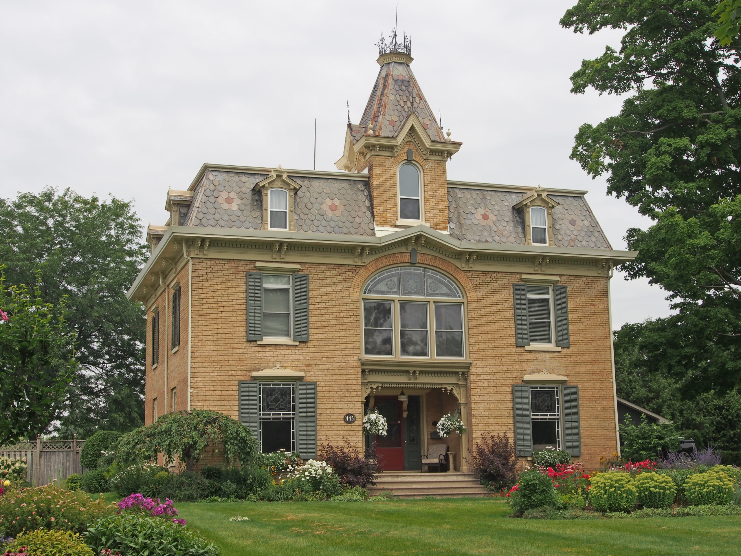
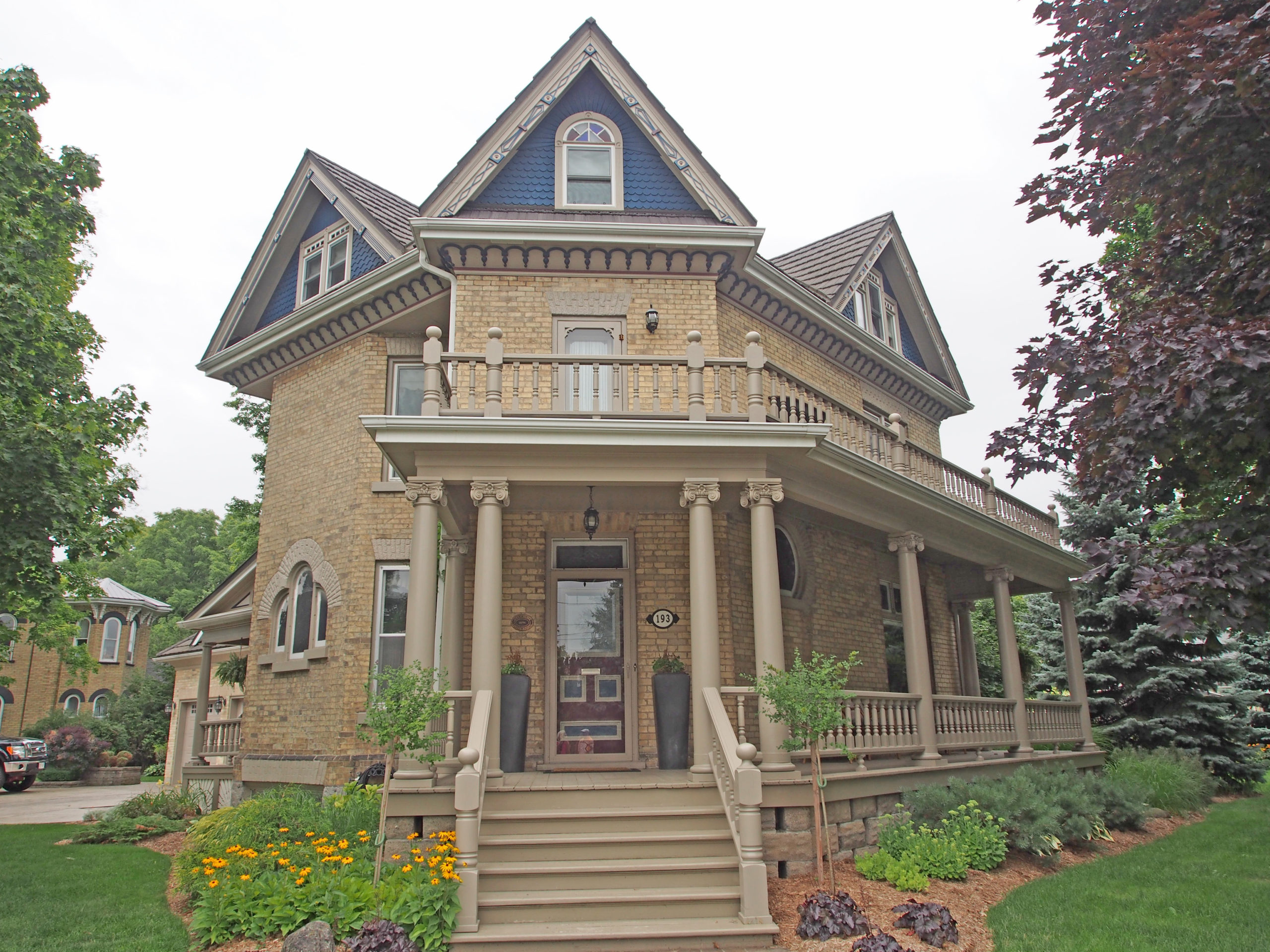
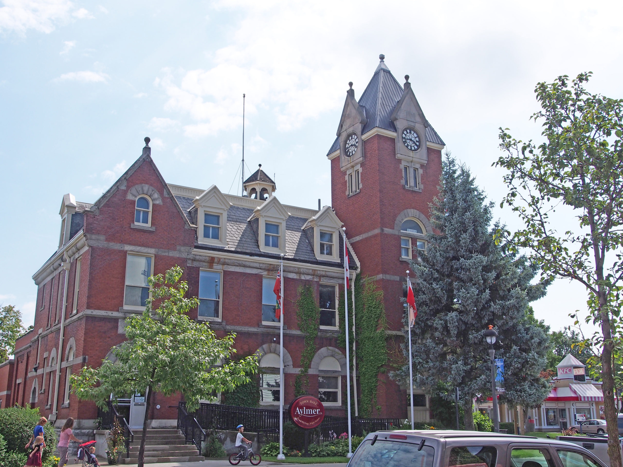
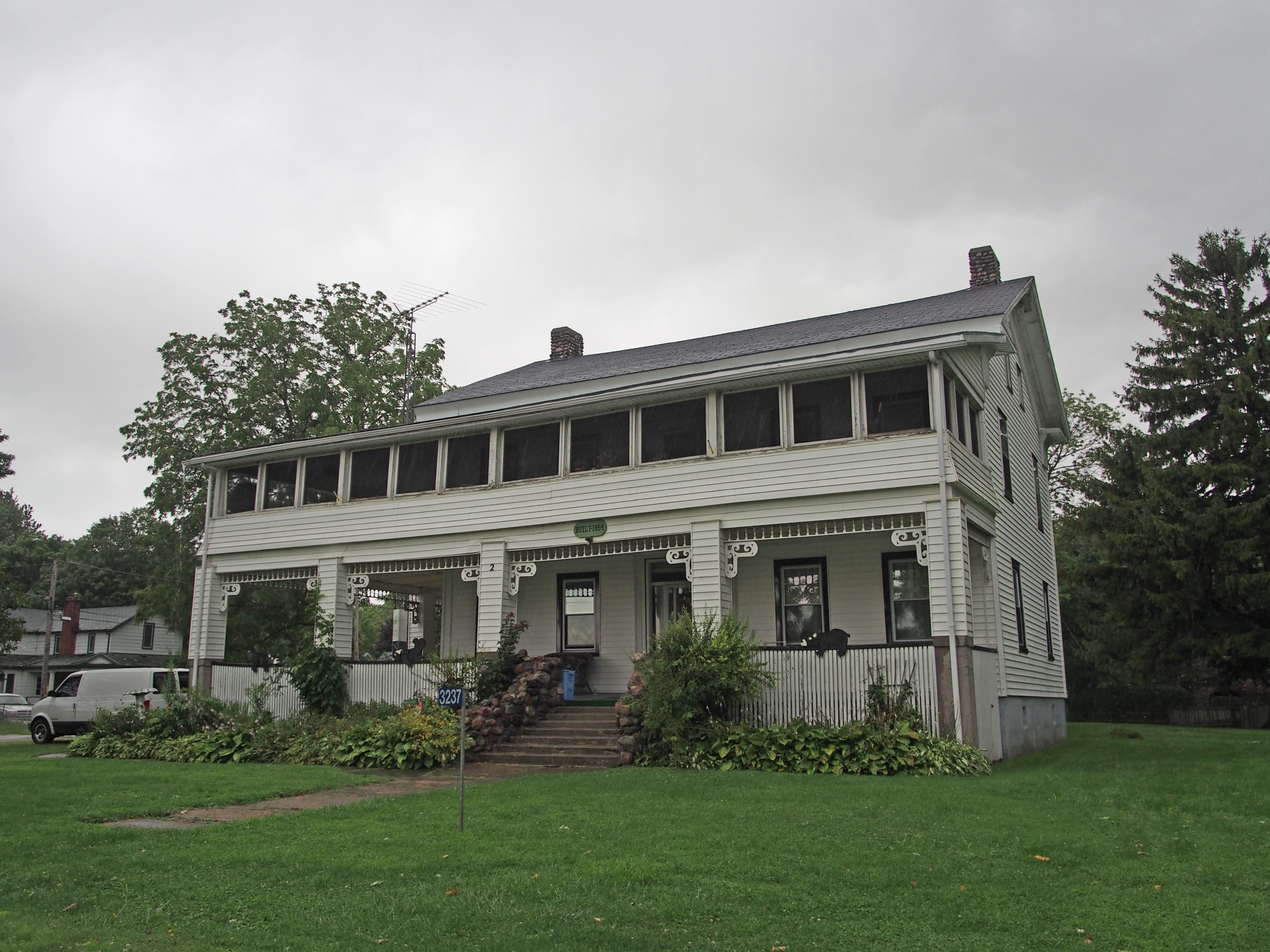
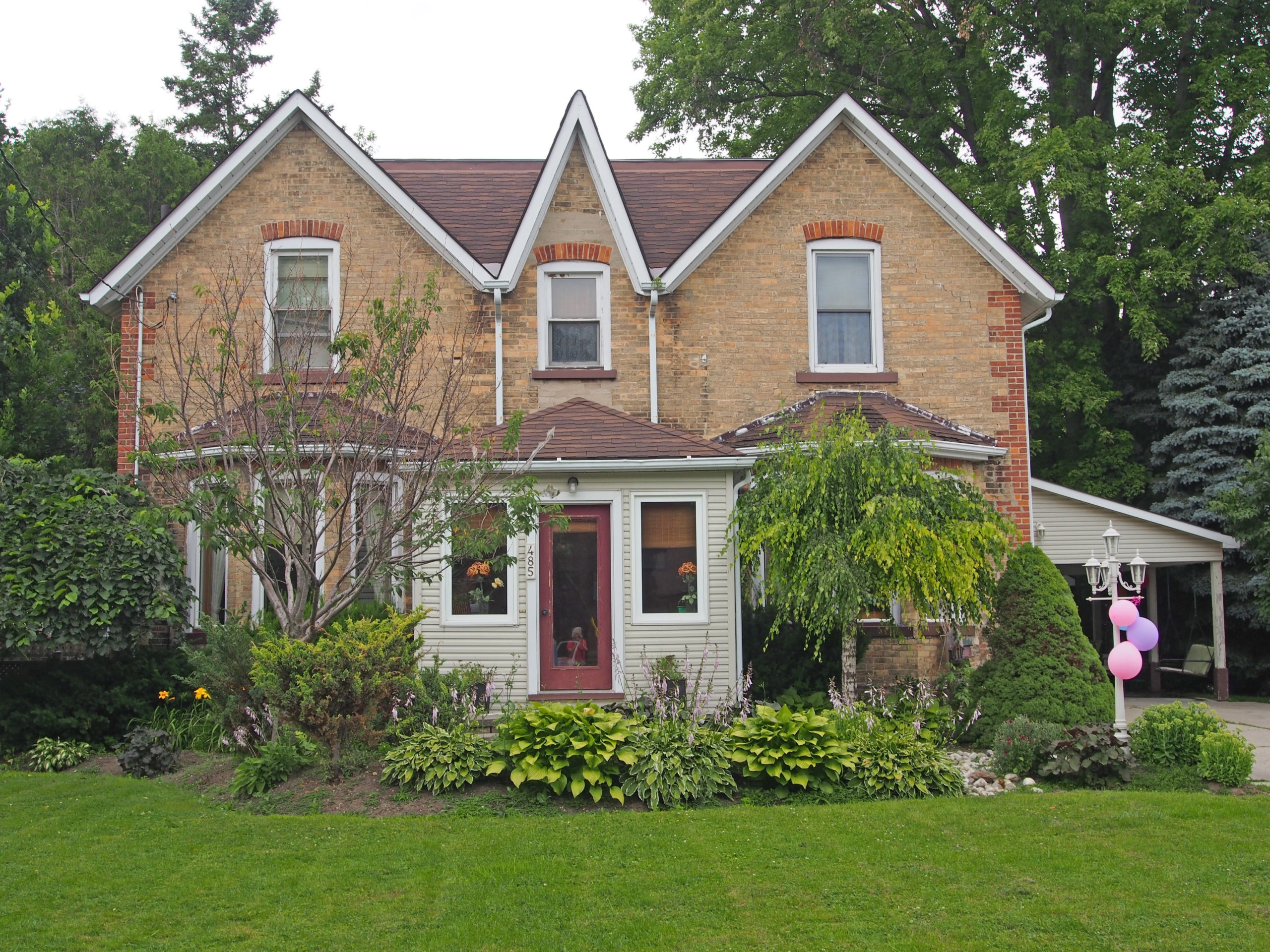
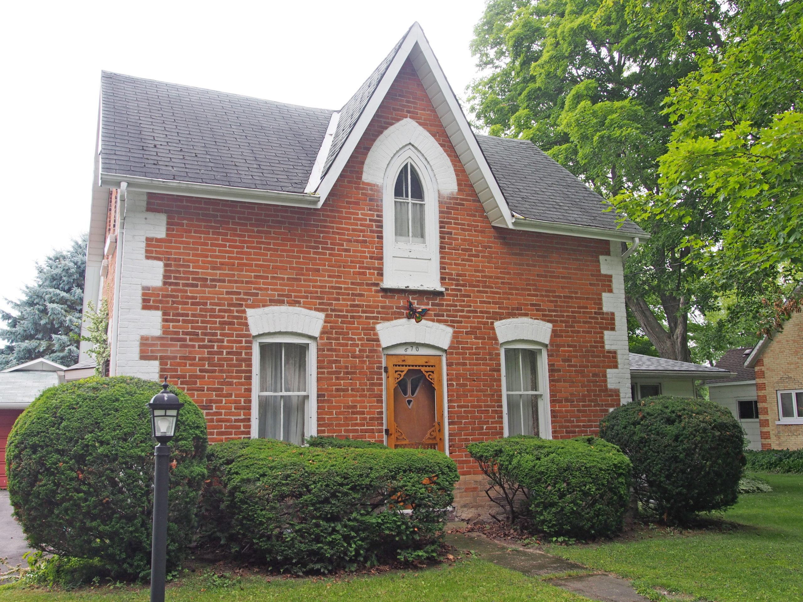
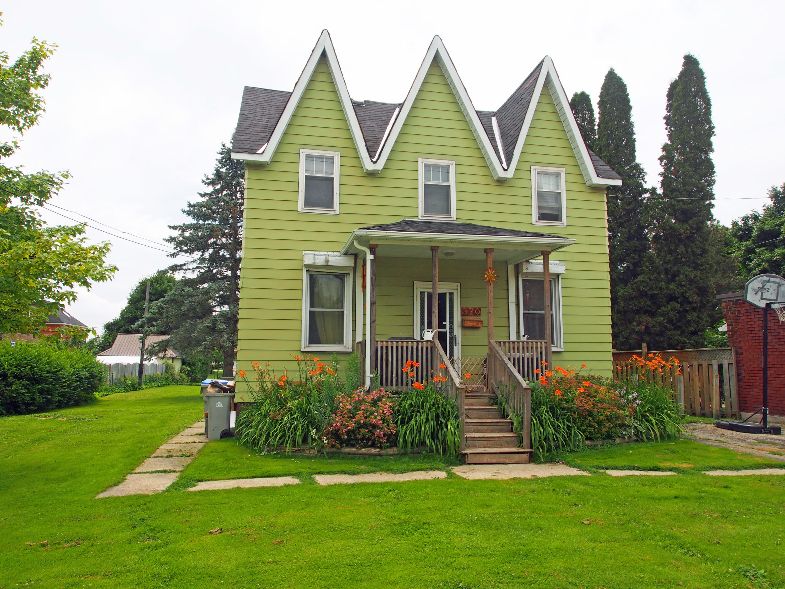
Across Lake Couchiching, John Thomson opened his Longford saw milling operation in 1868, using Orillia as a shipping base. By 1900, Orillia was one of the most bustling towns in Ontario. Many of the commercial and residential buildings erected and still standing used red brick trimmed with limestone quarried from Longford.

The town boasted the best Opera House north of Toronto and industrial growth almost unparalleled in the province. With the expansion of the railways, thousands arrived each summer for picnics and holidaying at Couchiching Park.

In 1912, Orillia was the first municipality in North America to introduce daylight saving time and had the first municipal hydro electric transmission plant in North America. This energy powered an industrial boom with sawmills, iron foundries, and a host of manufacturing companies producing farm implements, carriages, and automobiles and shipping these products across Canada.

In Stephen Leacok’s 1912 book Sunshine Sketches of a Little Town, Orillia was used as the basis for the fictional town known as “Mariposa”. The book was based on Leacock’s experiences in the town and the city has since the book’s release attempted to mimic the fictional location in as many ways as possible.  Orillia is known as the “Sunshine City”. The Stephen Leacock Museum is a National Historic Site in Orillia.

William E. Bell’s 1989 novel Five Days of the Ghost was set in Orillia with many readers recognizing popular local spots, including the Guardian Angels Catholic Church, the Samuel de Champlain statue in Couchiching Beach Park and Big Chief Island in the middle of Lake Couchiching. Orillia is also known as the birthplace of Gordon Lightfoot.

Architectural Photos, Orillia, Ontario
24 Penetang Street – St. Joseph House – Catholic Family Services of Simcoe County
Architectural Photos, Orillia, Ontario
Gothic Revival, verge board trim, corner quoins
Architectural Photos, Orillia, Ontario
84 Brant Street East – E.J. McCrohan, Harness Maker c. 1880 – Second Empire style, mansard roof, iron cresting around roof, finials on dormers, second floor balcony, corner quoins
Architectural Photos, Orillia, Ontario
Dormer in attic, pediment above wraparound verandah, second floor bay window
Architectural Photos, Orillia, Ontario
#106 – Gothic Revival, cornice brackets

Acton, Ontario – My Top 8 Picks

Acton, Ontario – My Top 8 Picks

Acton is located at the intersection of Highway 7 and Halton Regional Road 25. Methodist preachers Ezra and Zenas Adams and their brother Rufus settled on the west branch of the Credit River in the 1820s. A community of pioneer families grew around the Adams family farms. Nicklin’s saw and grist mill and Nelles’ tannery operated here by the early 1840s.

Acton was first named Danville when Settler Wheeler Green opened a dry-goods store in 1828. It was later called Adamsville, after the early settlers. In 1846, the postmaster named the community after the area of Acton in West London, England.

Tanning was an important industry in Acton from 1844 when the first tannery was established. The area was attractive to the leather industry because of the large numbers of trees. Acton was known as the leather capital of Canada. At the turn of the century, it was the largest tanning center in the British Empire. The tannery continued in operation until its closure in September 1986.

The town’s location was chosen because of the good source of waterpower from the Black Creek, and the flour mill established at the beginning is still in operation today, although its source of power has changed. Acton is near the watershed between the Credit River and the Grand River which is just west of the urban area where the Blue Springs Creek begins.

Architectural Photos, Acton, Ontario
Queen Anne style, three-story turret, architraves with keystones, verge board trim on gables, fretwork, ionic pillars
Architectural Photos, Acton, Ontario
39 Willow Street – Knox Manse established 1889 – Italianate with two-and-a-half story tower-like bay, pediment above pillared porch, fretwork and verge board on gable
Architectural Photos, Acton, Ontario
55 Mill Street East was built in 1879 by William H. Storey who came to Canada as a child in 1845 and came to Acton in 1856 as a saddle apprentice. He branched out on his own and eventually owned the Storey Glove Factory which was located on Bower Avenue (where the Post Office is now). He built this beautiful Victorian Home at 55 Mill Street East for his family. It was called “The Sunderland Villa”. His carriage house was located at 7 John Street and he heated the carriage house and his home via underground steam pipes from the factory. Mr. Storey died in 1898. After the First World War the building was used to house soldiers and then sat derelict for a number of years until Victor Rumley purchased it in 1937 and moved The MacKinnon Family Funeral Home with Shoemaker Chapel to this location.
Architectural Photos, Acton, Ontario
105 Mill Street – Italianate, hipped roof, corner quoins, banding
Architectural Photos, Acton, Ontario
129 Mill Street – Gothic Revival, dichromatic brickwork, corner quoins
Architectural Photos, Acton, Ontario
98 Church Street – Moorecroft c. 1896 – Italianate, Doric pillars, dormer in attic, wraparound verandah on lower level, pillared balcony on second floor
Architectural Photos, Acton, Ontario
19 Willow Street North – Acton Town Hall opened in 1883 with a grand ball and remained the hub of Acton’s social life for over 80 years. The upstairs auditorium was used for meetings, dances, concerts, Sunday School plays, amateur dramatics, and minstrel shows. The police station, council chambers, library, and practice room for the Acton Citizens’ Band were housed downstairs. In 1974 the regional government moved out of Acton to Georgetown. It is in the Italianate style, cornice brackets, cupola, arched voussoirs with keystones over the windows, cornice return on the gable of the two-and-a-half story frontispiece; sidelights and transom windows around the front door.
Architectural Photos, Acton, Ontario
69-71 Bower Street – Syndicate Houses built 1882 – Five double houses were built by the Acton Building Association as tenements for workers. Each is remarkable for its distinctive brick pattern

Rockwood, Ontario – My Top 4 Picks

Rockwood, Ontario – My Top 4 Picks

Rockwood is located on Highway 7 between Acton and the city of Guelph.  The Eramosa River runs through the center of the village.

Early settlers to this area were Quakers. John Harris, the first settler, erected a shanty in 1821. In 1840 Colonel Henry Strange settled and brought further development to the area which became known as Strange’s Mills. Strange was the Deputy Provincial Surveyor and he opened a lime quarry which provided stone for building mills.  In the 1850s the community became known as Rockwood which reflected the lovely river valley, mixed forest, high rocky hills, and geological potholes. The Eramosa River provided power for John Gamble’s sawmill which was the first in Wellington County. Grist, flour, oatmeal, stave, and woolen mills followed. A post office was opened in 1853 and the Grand Trunk Railway opened a station in 1855.

Architectural Photos, Rockwood, Ontario
149 Main Street – limestone house
Architectural Photos, Rockwood, Ontario
477 Main Street – Rockwood Academy – Georgian style – three-story stone building with limestone walls, rough-cut quoins, symmetrical five-bay facade with double-hung six-over-six wood sash windows with a central door with a portico and a transom window and sidelights. It has a low-pitched cedar-shingle gable roof with many small brick and stone chimneys. The owner’s bedrooms still exist on the second floor, as do the students’ bedrooms on the third floor. The south wing still has the classroom below the student bedrooms. The west wing remains unaltered and contains a carriage house on the ground floor with a gymnasium above.
Architectural Photos, Rockwood, Ontario
130 Guelph Street – Gothic Revival, verge board trim on gables, corner quoins, arched voussoirs, two-story tower-like bay
Architectural Photos, Rockwood, Ontario
125 Richardson Street – Italianate, hipped roof, dormer in attic

Arthur, Ontario – My Top 9 Picks

Arthur, Ontario – My Top 9 Picks

(There are so many beautiful old homes in Arthur that it was difficult to choose only a few.)

Arthur is located just north of Highway 6 and Wellington Road 109 in the township of Wellington North.

Arthur, named for Arthur Wellesley, Duke of Wellington, was the southern terminus of the Garafraxa “colonization road” to Owen Sound.  Settlers arrived in 1840 with the town site being officially surveyed in 1846.  The establishment of saw and grist mills hastened growth in the community which was also the natural market center for the area’s agricultural production.

In 1851 a post office was opened and the first church and school were organized.  A weekly newspaper, The Arthur Enterprise News, began publication in 1863 and a Division Court met at Arthur.  In 1872, a station of the Toronto Grey and Bruce Railway was opened in the community.

In 1897, Arthur was one of the first villages in Ontario to be served by a power transmission line. There were no meters, but people were charged ten cents for each light bulb used. Power was available in the evenings and was cut off at midnight.

James Morrison, an influential activist in farmers’ causes, lived two kilometers south of Arthur.  He entered politics in the early 1900s, a time when many farmers felt ignored in an increasingly urban and industrial society.  Morrison helped form the United Farmers of Ontario (UFO) and the United Farmers’ Cooperative in 1914.  Morrison advocated cooperative effort among farmers.

Architectural Photos, Arthur, Ontario
Gothic Revival, corner quoins
Architectural Photos, Arthur, Ontario
131 Frederick Street West – Gothic Revival, stone architecture, cornice brackets, cornice return on gables
Architectural Photos, Arthur, Ontario
111 Frederick Street West – Gothic Revival, verge board trim on gables, corner quoins
Architectural Photos, Arthur, Ontario
135 Frederick Street West – Gothic Revival, dichromatic brickwork, corner quoins
Architectural Photos, Arthur, Ontario
261 Tucker Street – Second Empire – mansard roof, dormers, cornice brackets
Architectural Photos, Arthur, Ontario
171 Tucker Street – Italianate, hipped roof, balcony on second floor
Architectural Photos, Arthur, Ontario
220 Smith Street – corner quoins, 3½ story tower-like bays
Architectural Photos, Arthur, Ontario
240 Smith Street – Bellview – A.D. 1887 – stone architecture, bay windows, dormer on roof, paired cornice brackets
Architectural Photos, Arthur, Ontario
271 Smith Street – Gothic Revival, verge board trim and finial on gables, stone architecture, bay windows, cornice brackets

Tillsonburg, Ontario – My Top 5 Picks

Tillsonburg, Ontario – My Top 5 Picks

Tillsonburg is a town in Oxford County located about 50 kilometers southeast of London on Highway 3 at the junction of Highway 19 which connects to Highway 401.

The area was settled in 1825 by George Tillson and other immigrants from Massachusetts. A forge and sawmill were erected and roads built which led to the establishment of a settlement on the Big Otter Creek originally called Dereham Forge.

In 1836 the village was renamed Tillsonburg in honor of its founder. It was also in this year that the main street, Broadway, was laid out to its full 100-foot (30 meter) width. Because the village was predominantly a logging and wood product center, the street width was to accommodate the turning of three-team logging wagons. This width has become a benefit toward handling the pressures of modern-day traffic by providing angled parking. The extension of Broadway north was called Plank Line and is now known as Highway 19.

The water system supplied pure water for domestic use, and provided water power to such industries as a sawmill, planing mill, grist mill, spinning mill, pottery and a tannery. Many of these new establishments were owned, started, or financed by George Tillson.

In 1915, a Public Library was built with funds provided by the Carnegie Foundation, and the town’s Memorial Hospital was constructed in 1925. In the 1920s, major enterprises included milk production, manufacture of shoes, tractors, textiles and tobacco.

Architectural Photos, Tillsonburg, Ontario
38 Ridout Street West – Casa di Luca Restaurant – Queen Anne style, verge board trim on gable, turret
Architectural Photos, Tillsonburg, Ontario
299 Broadway Street – two-story bay windows, cornice brackets, verge board trim
Architectural Photos, Tillsonburg, Ontario
276 Broadway Street – Queen Anne, turret
Architectural Photos, Tillsonburg, Ontario
300 Broadway Street – verge board trim
Architectural Photos, Tillsonburg, Ontario
30 Tillson Avenue – Annandale National Historic Site – Constructed in seven years in the 1880s, this was the farm house for E.D. Tillson’s 600 acre Model Farm. The interior of the house exemplifies the Victorian style of design known as the “Aesthetic Art Movement” which was popularized by Oscar Wilde, and encouraged the use of color and decorative detailing. There are hand-painted ceilings, elaborate inlaid floors, ornate mantles, and stained glass throughout.

Drayton, Ontario and area – My Top 6 Picks

Drayton, Ontario and area – My Top 6 Picks

Centre Wellington is a township in south-central Ontario.  The primary communities in the township are Elora and Fergus.  Some of the smaller communities are Alma, Salem, and Speedside.

Parker was a settlement in Ontario, located along the Elora-Saugeen road. Settlers moved to the area to begin new lives and to farm. To provide accommodation for travelers in horse-drawn vehicles, a hotel opened in 1850.  In 1865, Thomas Burns opened a post office which brought a few neighboring businesses to the area.  As travel became more modern, the need for overnight stay diminished and the town began to dwindle. It is still used for farming today but the hotel and post office have closed. The school house is still standing and is a private home, painted pink.

Conestogo Lake Conservation Area is in the heart of Mennonite country. It is on a y-shaped lake that stretches six kilometers up each arm. A unique feature of this area is the huge concrete flood control dam and reservoir surrounded by large tracts of forest, giving the appearance that the park is in northern Ontario. This is a multi-recreational use park for camping, power boating, sailing, water skiing, canoeing and fishing.

Glen Allan is located in Wellington County southeast of Conestogo Lake.

Yatton is located in Wellington County. The area was settled by people in the early 1820s, when Black Loyalists, African-Canadians and African-American immigrants arrived in the wilderness of the Queen’s Bush. Until the late 1840s the Queen’s Bush remained an unorganized territory. Three African-Canadian churches were constructed in the Queen’s Bush and one of them was in Yatton which Reverend Samuel H. Brown established on his farm.

Drayton is a community in Wellington County.  The village is on the corner of Wellington Road 8 and Wellington Road 11, and is located northwest of Fergus and southwest of Arthur.

Architectural Photos, Alma, Ontario
Alma – triple gable Gothic Revival, dichromatic brickwork, bay window, arched window voussoirs
Architectural Photos, Glen Allan, Ontario
Glen Allan – Log Cabin
Architectural Photos, Drayton, Ontario
Drayton – 28 Wood Street – hipped roof
Architectural Photos, Drayton, Ontario
81 John Street – dichromatic brickwork
Architectural Photos, Drayton, Ontario
19 Edward Street – pediment
Architectural Photos, Speedside, Ontario
Speedside – Gothic Revival – stone architecture

Aylmer, Ontario – My Top 10 Picks

Aylmer, Ontario – My Top 10 Picks

Aylmer is located in southern Ontario just north of Lake Erie on Catfish Creek.  It is 20 kilometers south of Highway 401. It is located on Highway 3 between St. Thomas to the west, and Tillsonburg to the east.

In October 1817, John Van Patter, an emigrant from New York State, obtained 200 acres of land and was the first settler on the site of Aylmer. During the 1830s a general store was opened and village lots sold.

Originally called Troy, in 1835 it was renamed Aylmer after Lord Aylmer, then Governor-in-Chief of British North America. By 1851 local enterprises included sawmills and flour-mills powered by water from Catfish Creek.

By the mid-1860s Aylmer, with easy access to Lake Erie, became the marketing center for a rich agricultural and timber producing area. Aylmer benefited greatly from the construction of the 145-mile Canada Air Line Railway from Glencoe to Fort Erie.

The coming of the Great Western Air Line Railway in 1873 encouraged manufacturing and mills, a foundry, a pork-packing house, a milk-evaporating plant, and shoe factory were among the main establishments. An Airfield for training was established nearby in World War 2 which became the nucleus of the Ontario Police College.

The Aylmer Canning Factory was established in 1879; it packed peas, beans, cider, pickles, vinegar, sauces, meats and fruits.

Imperial Tobacco Canada built a plant in 1945. At its peak, it employed more than 600 full-time and seasonal workers. In its prime, the plant could store 110 million tons of tobacco and had an October to April production capacity of 100 million tons. Of this, 20 to 25 million tons were for export to other countries, making it one of Canada’s leading exporters. The rest of the processed tobacco was shipped to Imperial’s cigarette production plant in Guelph. After declining tobacco sales in Canada, Imperial began downsizing in the 1990s and closed in 2007.

Architectural Photos, Aylmer, Ontario
445 Talbot Street West – Second Empire style, mansard roof, iron cresting, window hoods on dormers – Aylmer Book 1
Architectural Photos, Aylmer, Ontario
375 Talbot Street West – Italianate, cornice brackets, two-story tower-like bays, balcony on second floor – Aylmer Book 1
Architectural Photos, Aylmer, Ontario
Talbot Street West – Queen Anne style, turret, trichromatic tile work – Aylmer Book 1
Architectural Photos, Aylmer, Ontario
30 South Street – Georgian, belvedere on rooftop – Aylmer Book 1
Architectural Photos, Aylmer, Ontario
52 South Street – Gothic Revival, verge board trim – Aylmer Book 1
Architectural Photos, Aylmer, Ontario
193 John Street South – Queen Anne style – c. 1899 – Ionic columns with scroll-like capitals – Aylmer Book 1
Architectural Photos, Aylmer, Ontario
24 Pine Street – McLay-Minielly house built in 1853 in Classical Neo-Grecian (see Renaissance Revival style in appendix) architecture in frame construction of tongue and groove siding; entablature consisting of dentils, bands of molding, frieze, and architrave; two-story-high Doric pillars, pediment – Aylmer Book 2
Architectural Photos, Aylmer, Ontario
150 Sydenham Street East – Italianate, paired cornice brackets, bay window, wraparound porch – Aylmer Book 2
Architectural Photos, Aylmer, Ontario
111 Sydenham Street East – Queen Anne style, turret – Aylmer Book 2
Architectural Photos, Aylmer, Ontario
46 Talbot Street West – Aylmer Town Hall and Municipal Offices – clock tower, dormers, cupola, arched window voussoirs – Aylmer Book 2

Dorchester to Aylmer, Ontario – My Top 6 Picks

Dorchester to Aylmer, Ontario – My Top 6 Picks

Thames Centre is a municipality in Middlesex County located in southwestern Ontario a few kilometres east of London.  Communities in the township include: Avon, Belton, Cherry Grove, Crampton, Cobble Hill, Derwent, Devizes, Dorchester, Evelyn, Fanshawe Lake, Friendly Corners, Gladstone, Harrietsville, Kelly Station, Mossley, Nilestown, Oliver, Putnam, Salmonville, Silvermoon, Thorndale, Three Bridges, and Wellburn. Dorchester is the residential and commercial core of the township.


Mossley

Until 1840 the Mossley area was an untouched wilderness of pines, maples, and beeches.  The first settlers from England, Scotland, Ireland and Wales worked hard to clear the land for farming. They came with few tools but great hope for a better way of life, and they prospered.  In the 1800s this area was known simply as “The Corners”. In 1865 John Henry Amos opened a general store and was the first postmaster.  The name Mossley was chosen from two family names, the Mossips and the Lees. Mossley had a hotel, a cheese factory, a harness repair shop, and there were dressmakers and music teachers.


Malahide Township was named for Malahide Castle in Malahide, Ireland, birthplace of land grant administrator Colonel Thomas Talbot in 1810. The township comprises the communities of Candyville, Crossley-Hunter, Copenhagen, Dunboyne, Fairview, Glencolin, Grovesend, Jaffa, Kingsmill, Lakeview, Little Aylmer, Luton, Lyons, Mile Corner, Mount Salem, Mount Vernon, Ormond Beach, Orwell, Port Bruce, Seville, Springfield, Summers Corners and Waneeta Beach.

Architectural Photos, Dorchester, Ontario
31 Mill Road, Dorchester – Mr. Cartwright’s stone house built in 1866 with river and field stones with eighteen inch thick walls – Georgian style. There are ten main rooms. There is a “widow’s walk” or belvedere on the roof with a view of the river from windows on all four sides.
Architectural Photos, Dorchester, Ontario
15 Bridge Street, Dorchester – The Signpost – Gothic Revival, verge board trim on gables
Architectural Photos, Dorchester, Ontario
4026 Hamilton Road, Dorchester – Edwardian with Italianate features, two-story bay window, pediment
Architectural Photos, Dorchester, Ontario
4088 Hamilton Road, Dorchester – Edwardian with two-and-a-half story tower-like bay
Architectural Photos, Harrietsville, Ontario
5391 Elgin Road – Harrietsville-Mossley United Church – former Methodist Church – 1896 – Gothic Revival
Architectural Photos, Port Bruce, Ontario
Port Bruce – #3237 – built in 1854

Palmerston, Ontario – My Top 7 Picks

Palmerston, Ontario – My Top 7 Picks

Palmerston is located in Wellington County, west of Arthur, northeast of Listowel, and northwest of Kitchener and Waterloo.

The opening in 1871 of a station on the main line of the Wellington, Grey and Bruce Railway soon to be completed from Guelph to Southampton, provided the nucleus around which a community developed.  In its original concept the railroad was to run from Guelph to Harriston and would not have gone through Palmerston.  Listowel needed to be linked to the railroad and it was decided to bend the route toward Listowel.  It was also decided that a yard with maintenance shops would be needed.  As soon as the railroad decided where it would build, people started buying property around the area for businesses and homes.

Thomas McDowell was the first settler in 1854 on the site.  In 1872 McDowell and William Thompson who owned adjoining land, began selling town lots and by 1873 the community had 150 inhabitants.

In 1873 a branch line to Listowel was completed and a post office called Palmerston, named after Lord Palmerston, a celebrated English statesman, was opened.

Architectural Photos, Palmerston, Ontario
Main Street – Gothic Revival, dichromatic brickwork, bay windows, corner quoins
Architectural Photos, Palmerston, Ontario
Main Street – dentil molding, dichromatic brickwork
Architectural Photos, Palmerston, Ontario
Bell Street – Gothic Revival, verge board trim, fretwork
Architectural Photos, Palmerston, Ontario
125 James Street
Architectural Photos, Palmerston, Ontario
485 King Street – triple gable Gothic Revival, dichromatic brickwork, corner quoins, bay windows
Architectural Photos, Palmerston, Ontario
725 King Street – Edwardian – Romanesque style window voussoirs, fretwork, pediment above verandah
Architectural Photos, Palmerston, Ontario
670 Yonge Street – Gothic Revival, corner quoins

Listowel, Ontario – My Top 6 Picks

Listowel, Ontario – My Top 6 Picks

Listowel is located in the municipality of North Perth, northwest of Kitchener/Waterloo, and west of Elmira on Highway 86.

Settler John Binning arrived in 1857 and was the first to create a permanent residence in the area. The community was originally named Mapleton, but the name was changed when a post office was established. The new name was chosen by a government official and refers to Listowel, Ireland (a market town in County Kerry situated on the River Feale, twenty-eight kilometers, or seventeen miles, from the county town, Tralee.) The majority of early settlers were of Protestant Irish origin.

In 1871 the Wellington, Grey and Bruce Railway extended its line to Listowel. It was joined in 1873 by a second railway, the Stratford and Huron Railway, and Listowel became an important shipping point. The population doubled when industries, including a woolen mill, a sawmill, a planing mill and a tannery, were established. In 1891 the Morris, Field, Rogers Company Ltd began to manufacture Morris pianos in Listowel.

In 1907, hydroelectric and telephone services came to the town with the Princess cinema. During World War II the theater was renamed the Capitol and remains Canada’s oldest operating cinema.

The Campbell Soup Company was a major local employer for 48 years, operating a frozen, food service and specialty food plant in Listowel.  The factory closed in April 2008. The surrounding area is mostly agricultural land located on the Perth Plain, dominated by the beef and pork industries.

Architectural Photos, Listowel, Ontario
215 Binning Street West – two-story, white brick, tower, dormer – originally this was a full three stories high with a Mansard roof; a fire in 1922 damaged the upper level and a new roof was added in the Queen Anne style; spindle railing around circular balcony, Doric pillars, pediment
Architectural Photos, Listowel, Ontario
415 Inkerman Street West – built in two distinct styles – the larger east half is Italianate with paired cornice brackets, iron cresting above porch and above bay window, decorative gable; the smaller west half is rural Ontario design with a verandah
Architectural Photos, Listowel, Ontario
370 Inkerman Street West – triple gable Gothic Revival
Architectural Photos, Listowel, Ontario
469 Main Street West – Second Empire style, Mansard roof, dormers with window hoods, built of Wallace brick – was once on edge of town and operated as the Last Chance Hotel – last chance for a drink before leaving town
Architectural Photos, Listowel, Ontario
507 Main Street West – Queen Anne style with plenty of windows, chimneys and gables
Architectural Photos, Listowel, Ontario
555 Main Street West – Italianate with four-story tower, belvedere on roof – site of Listowel’s first settler John Binning’s log cabin; the present house is one of the oldest in town, built in 1860, tower and front half added in 1870