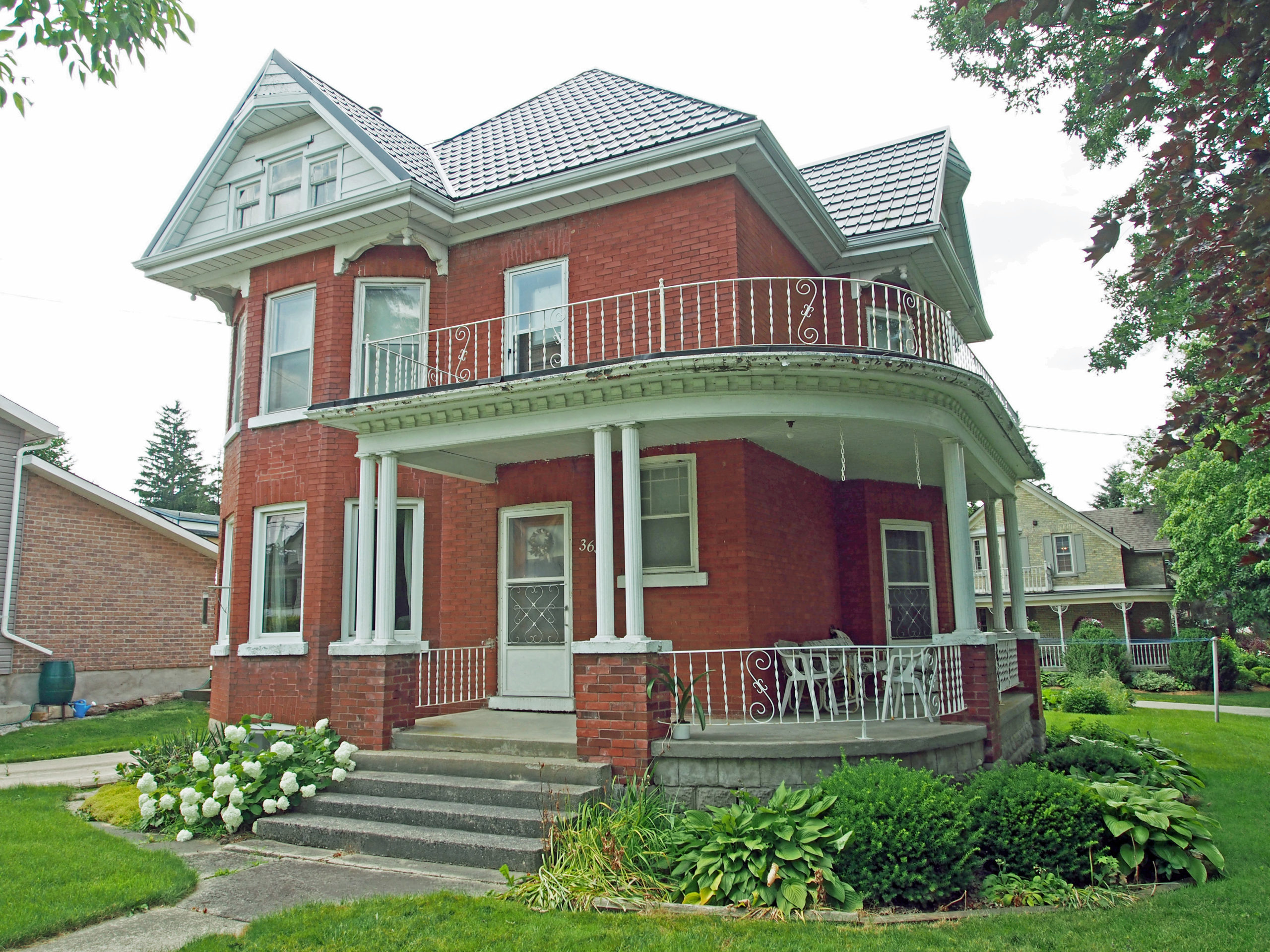
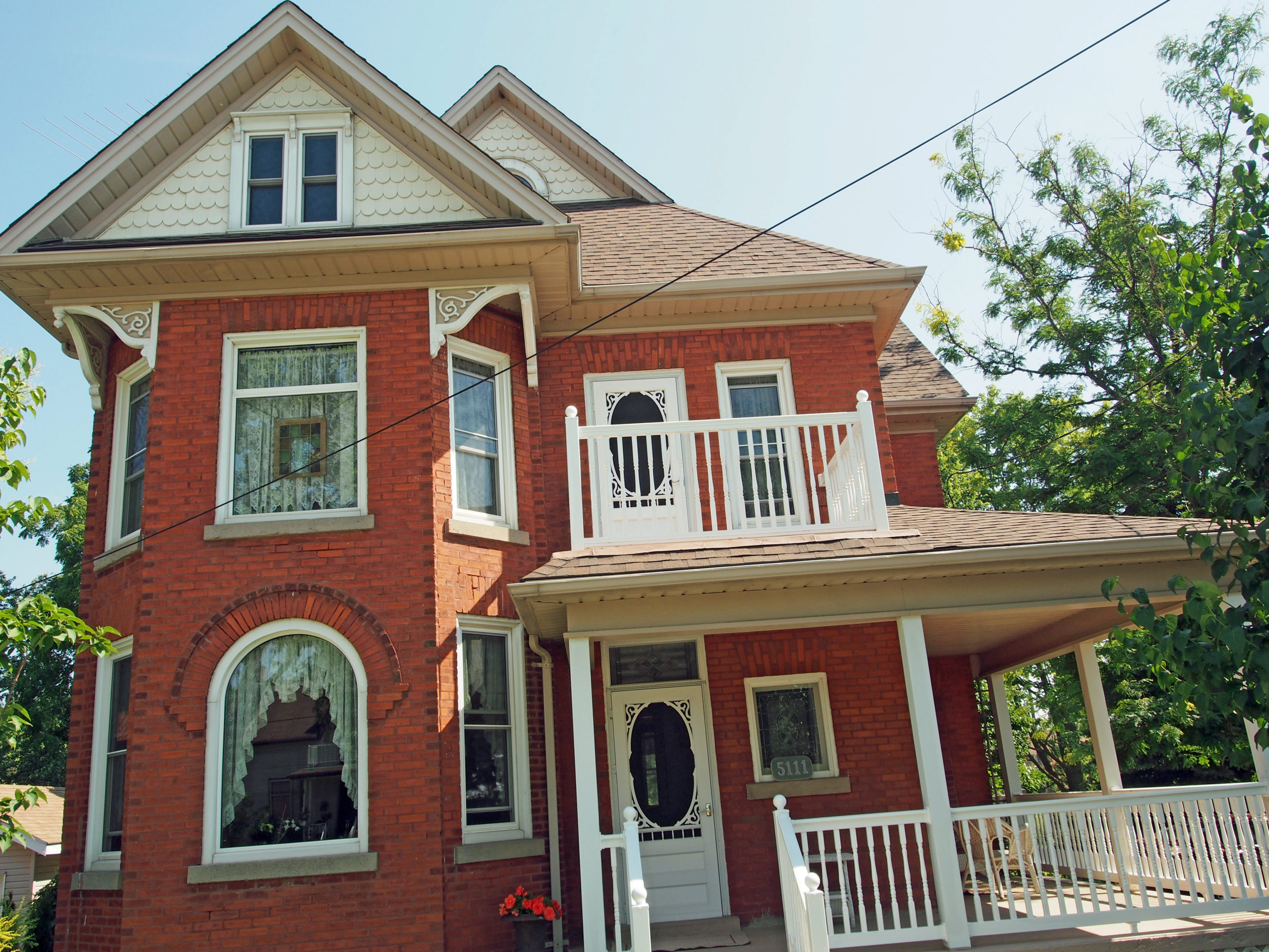
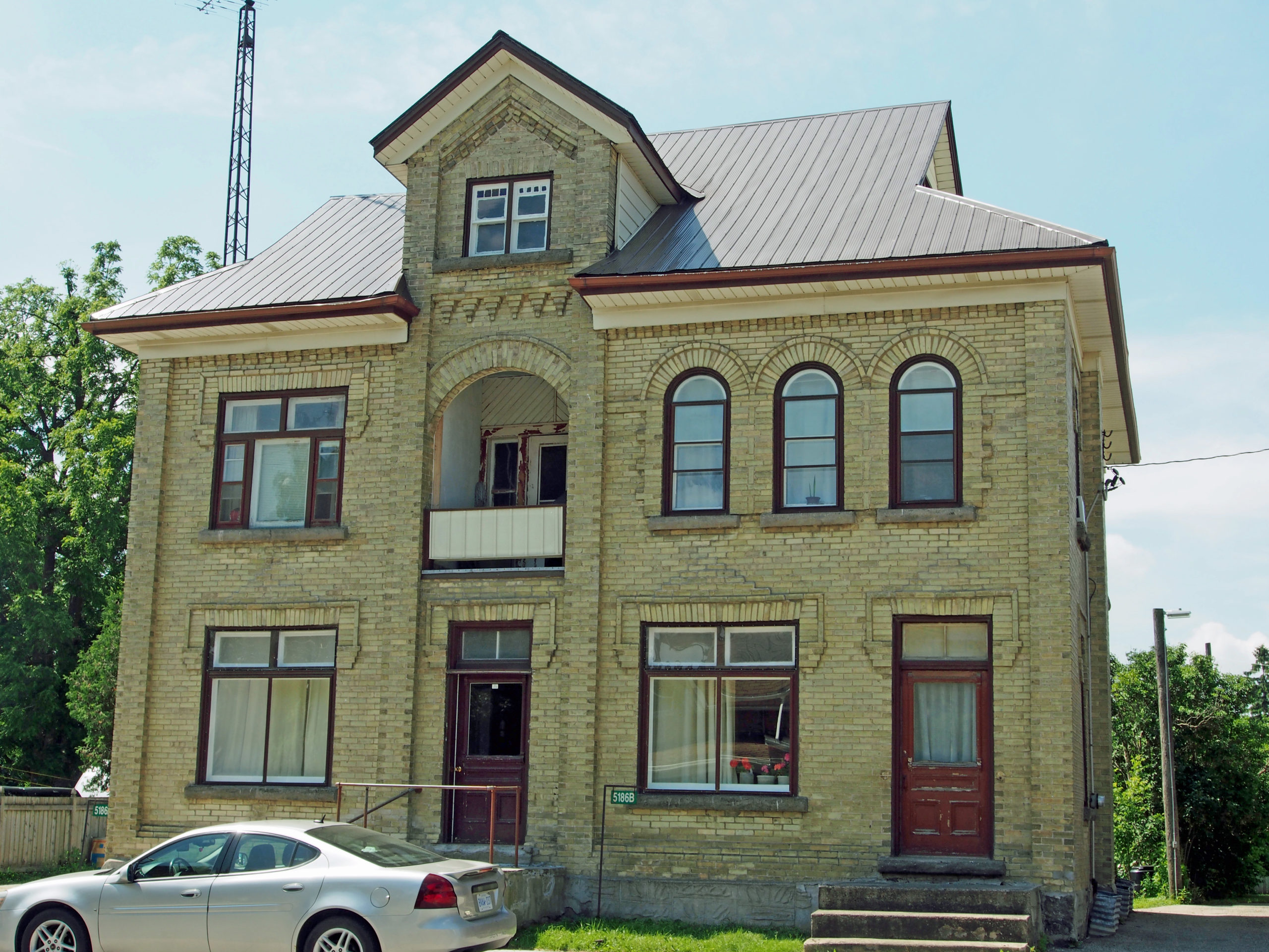
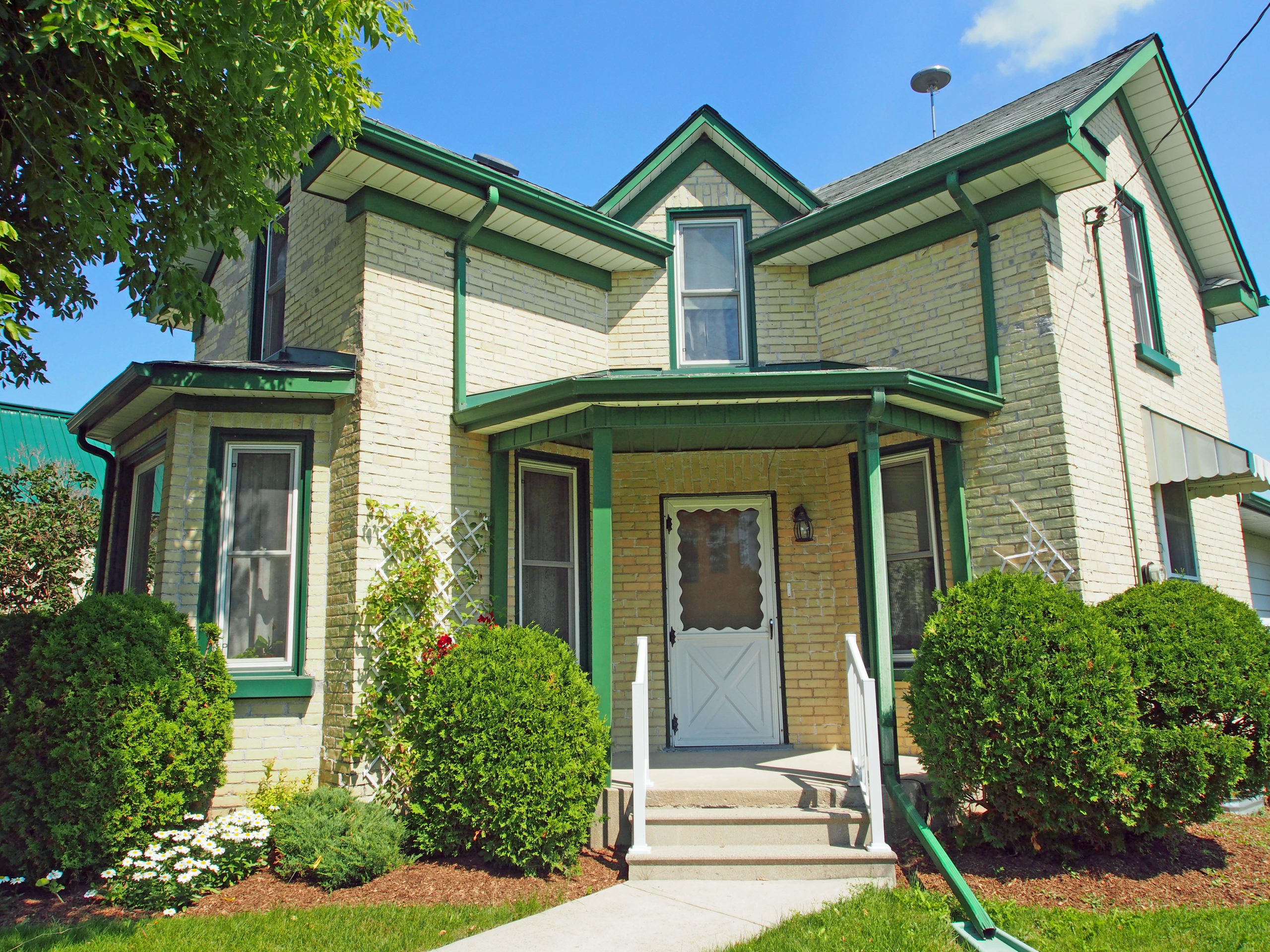
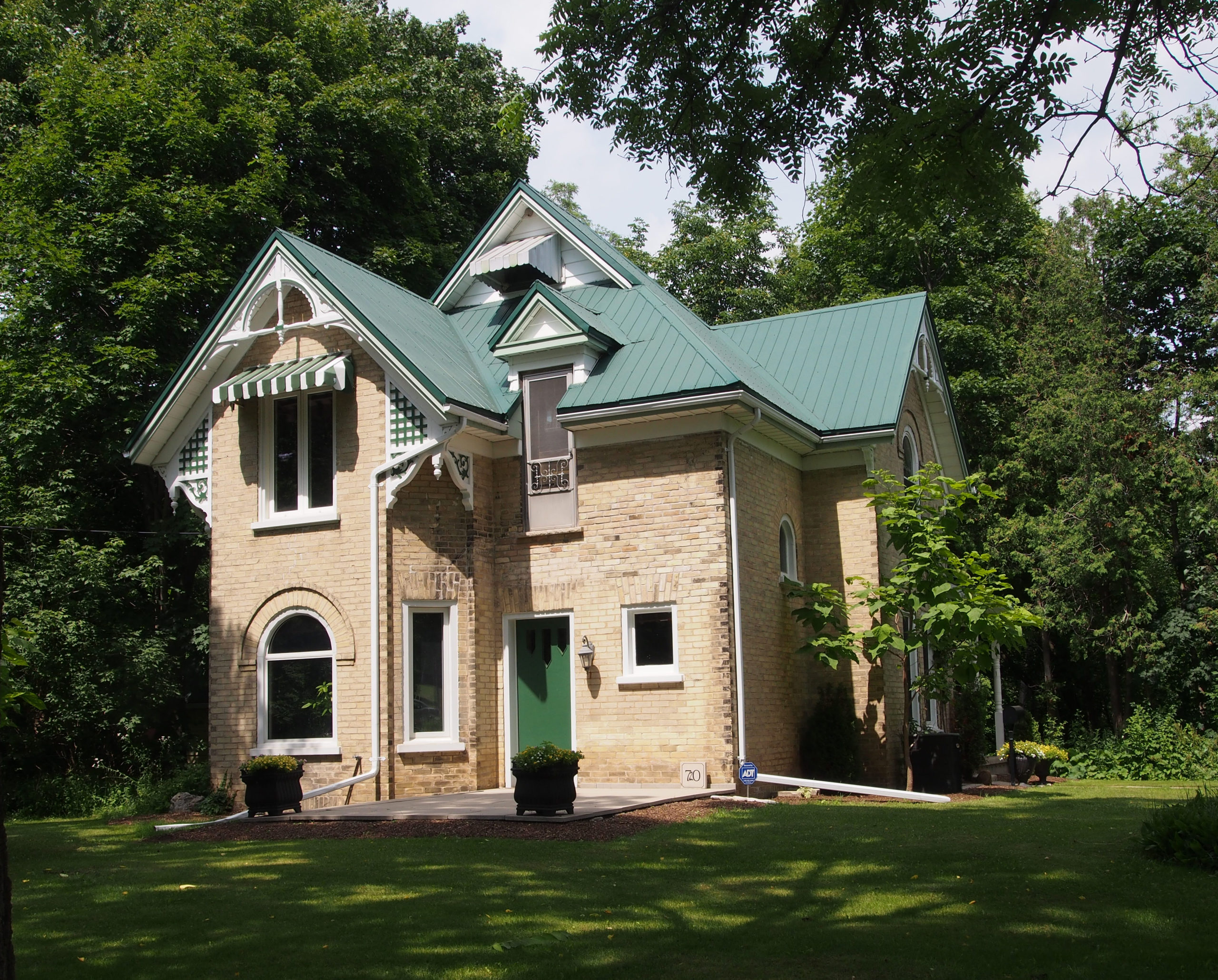
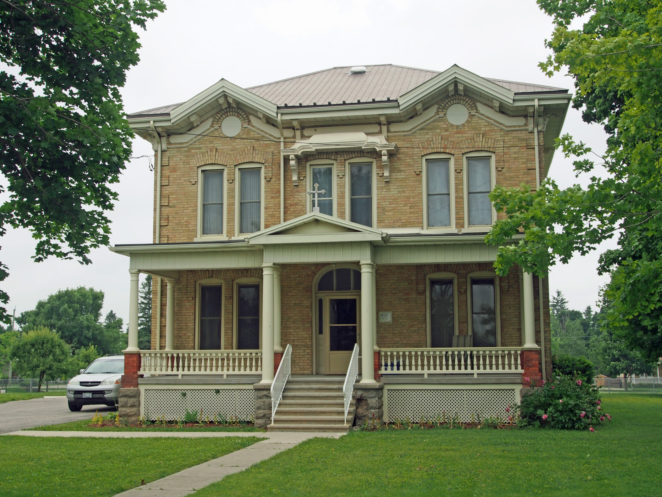
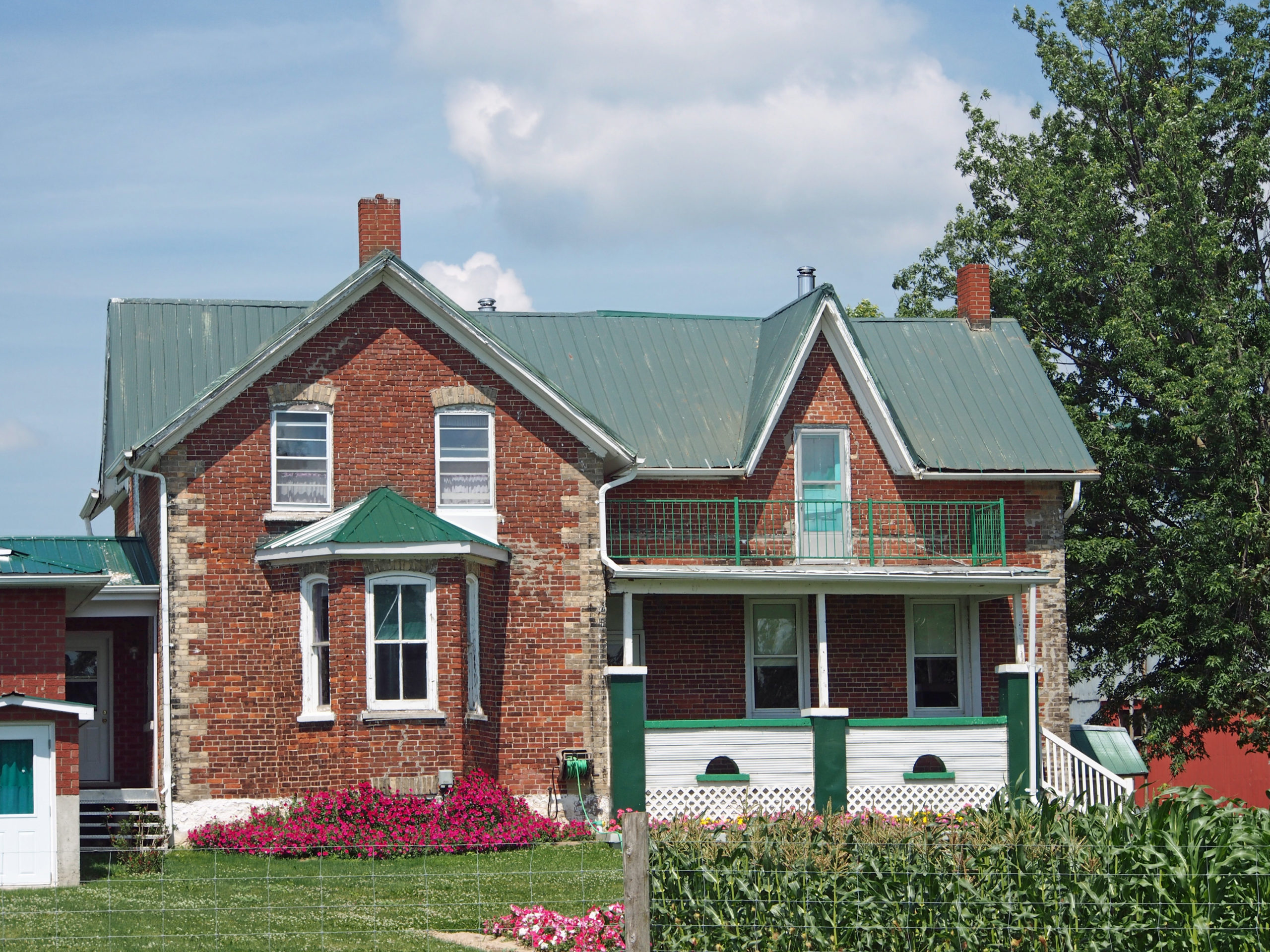
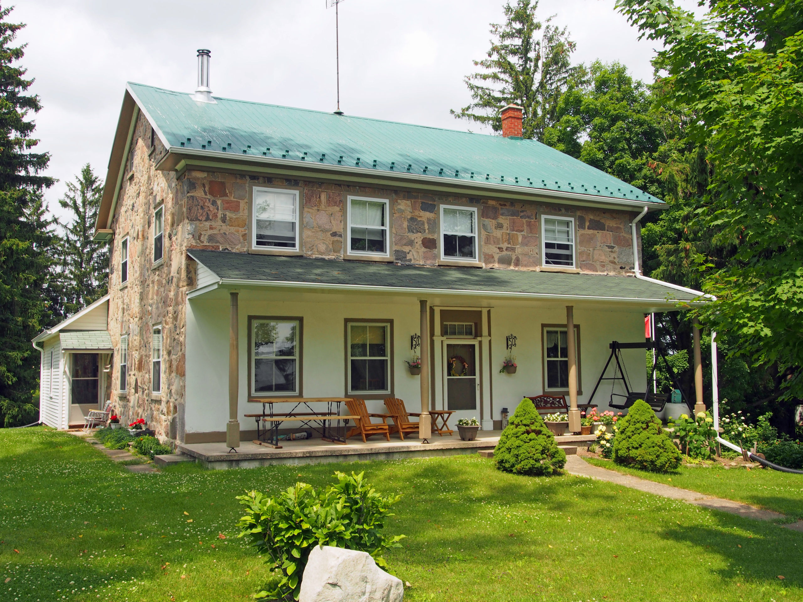
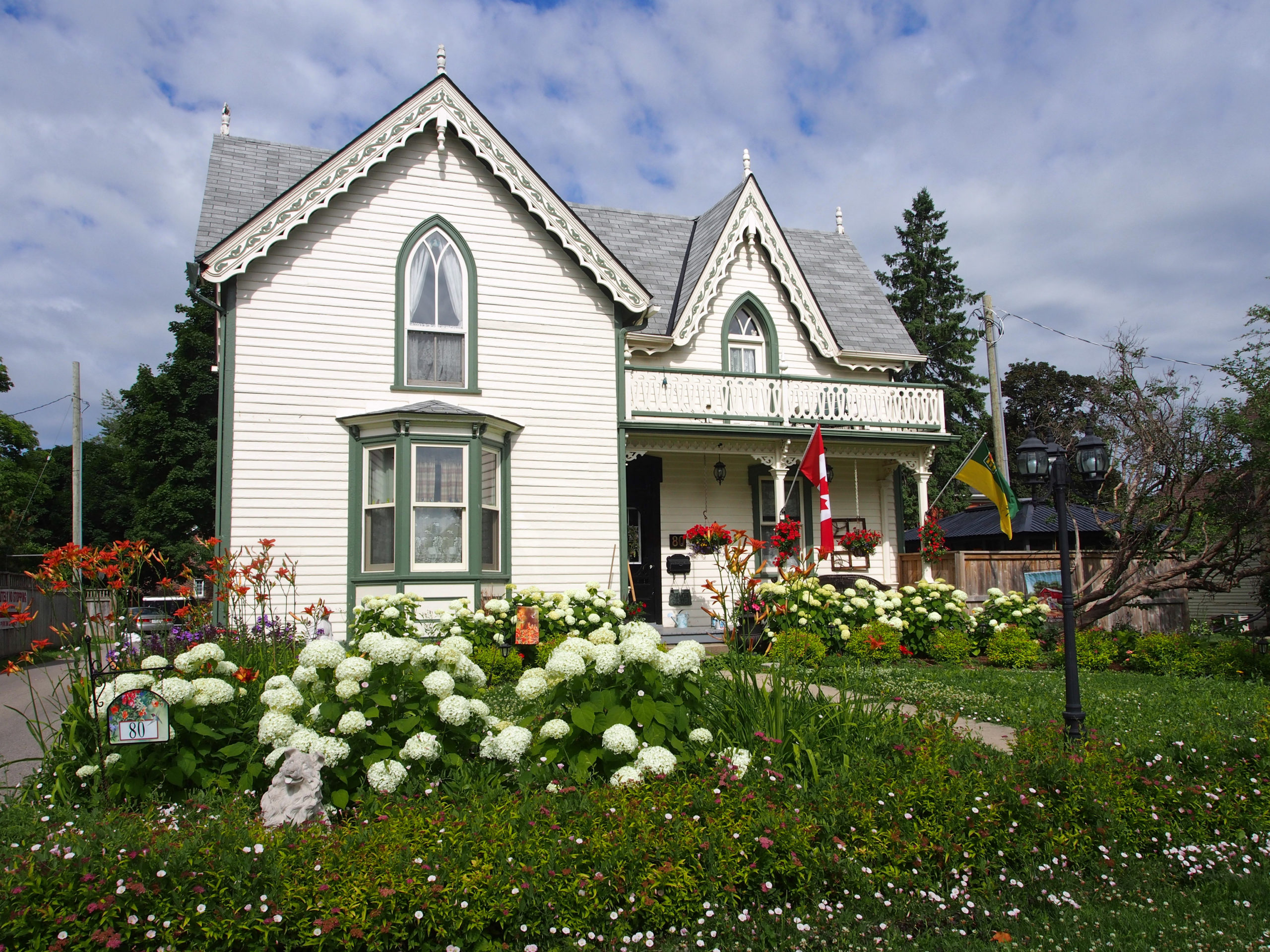
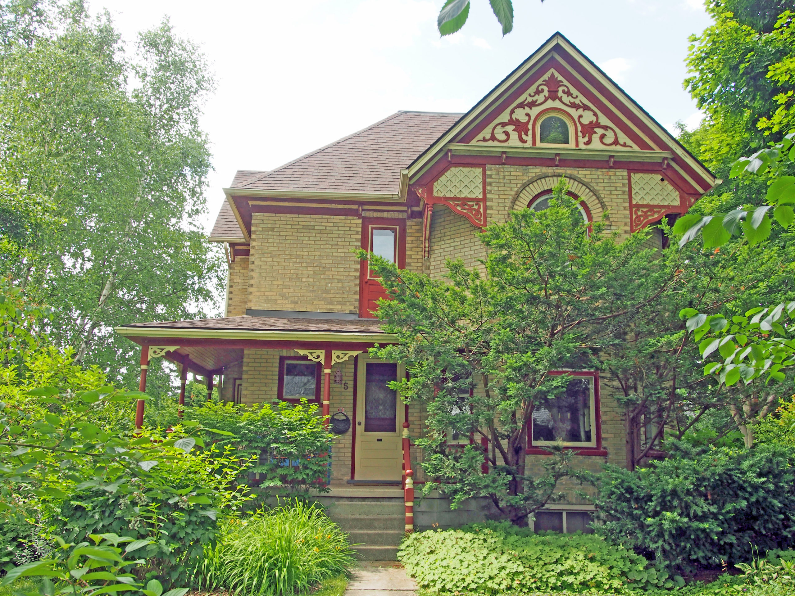
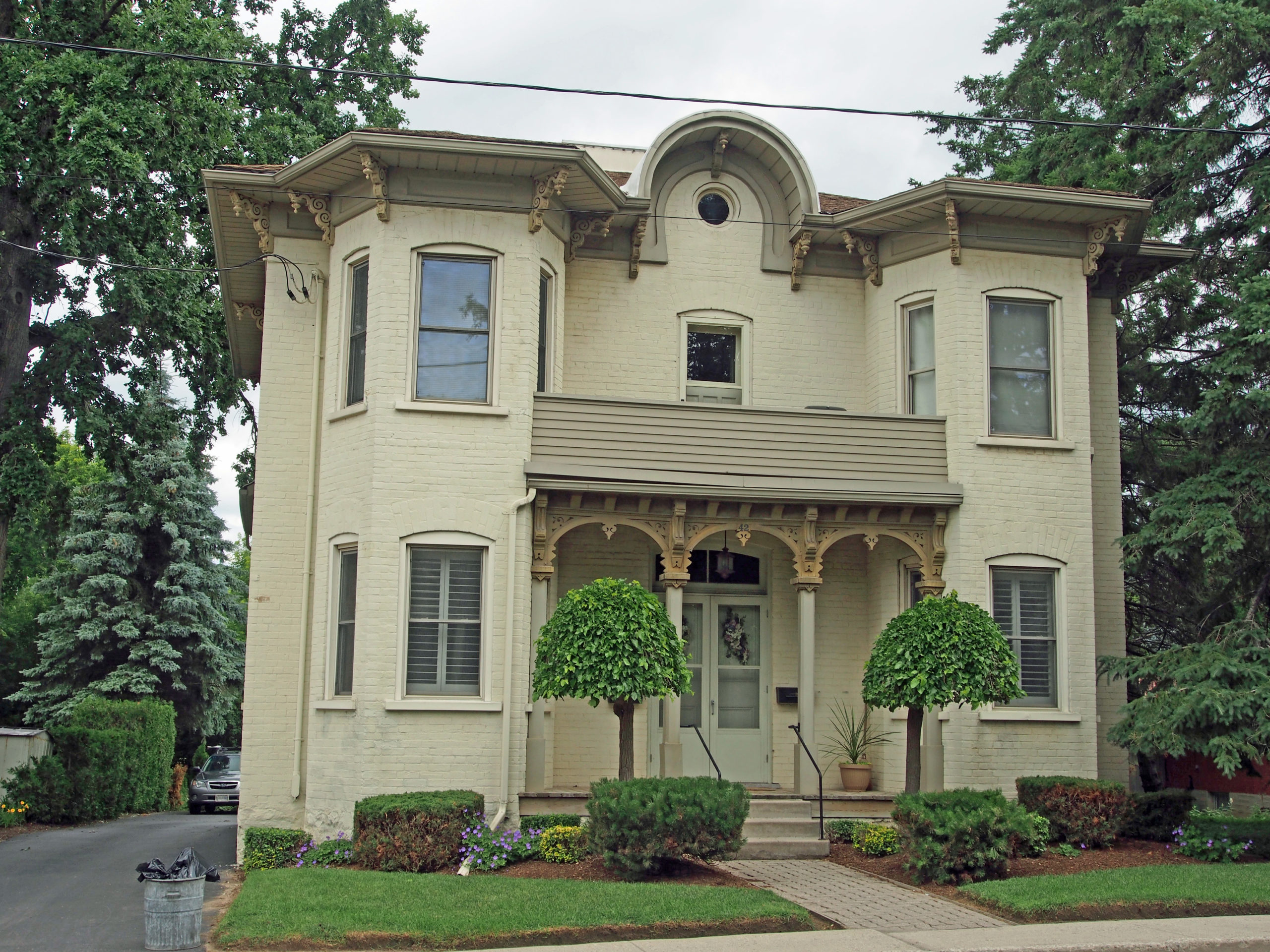
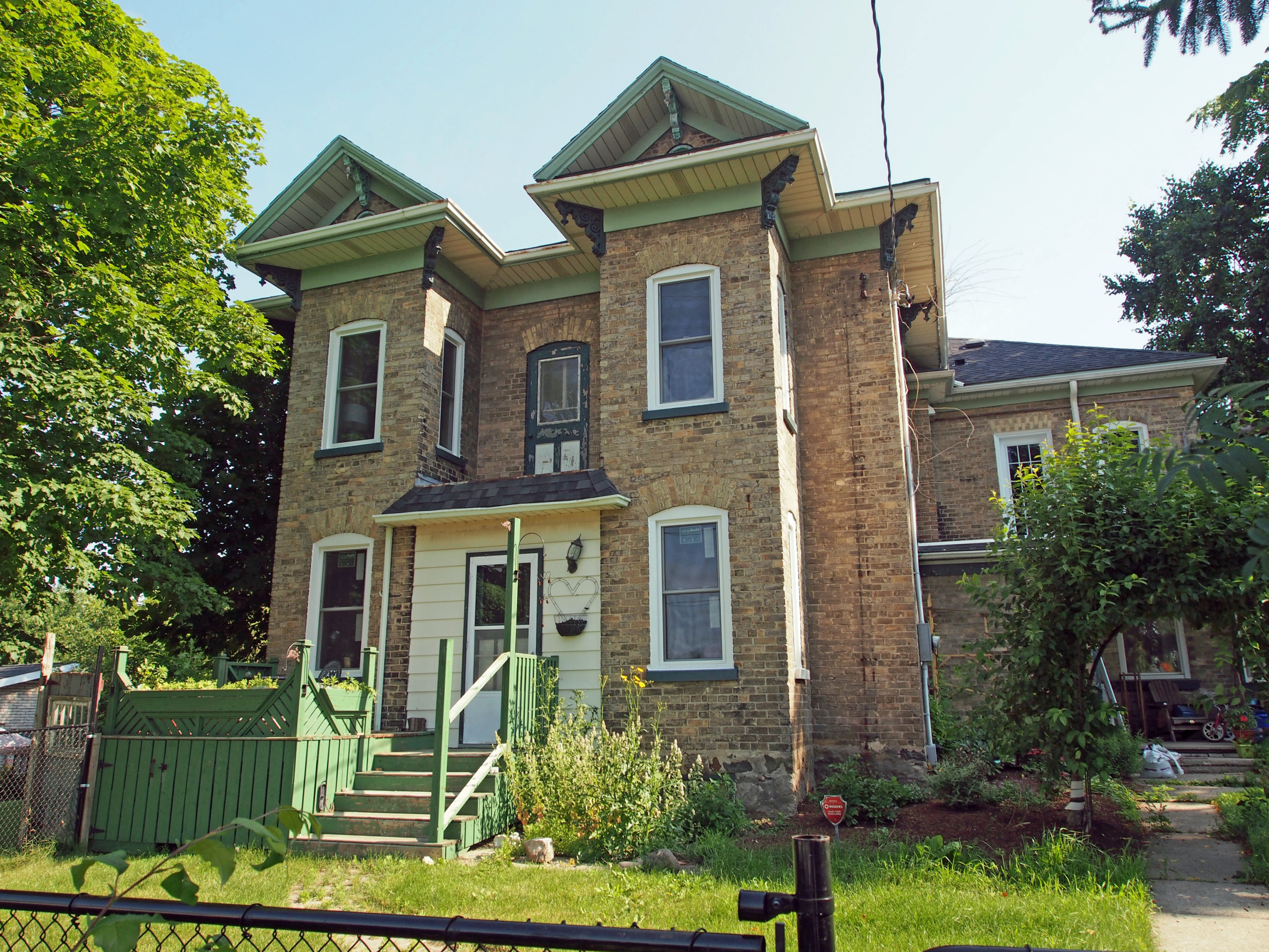
Wellesley, Ontario – My Top 6 Picks
The Township of Wellesley is the rural, north-western township of the Regional Municipality of Waterloo. The township comprises the communities of Bamberg, Crosshill, Hawkesville, Heidelberg, Kingwood, Knight’s Corners, Linwood, Macton, St. Clements, Wallenstein and Wellesley.
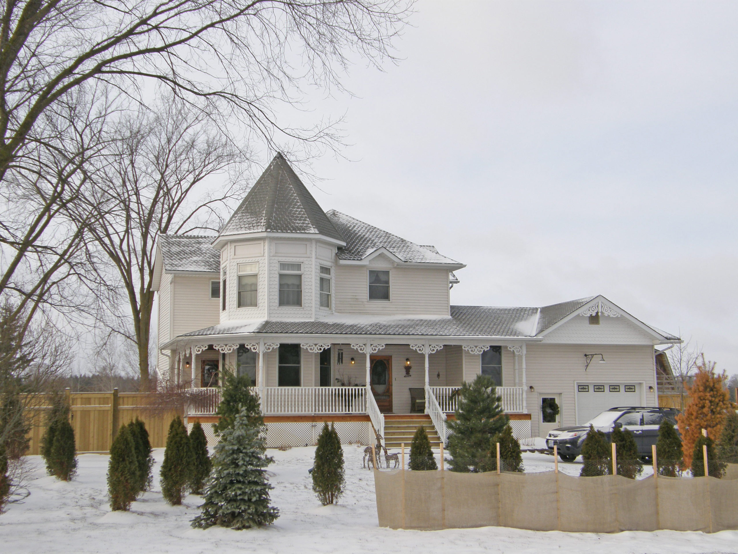
The country scenery and rolling hills, along with its small town feel, have transformed the township into a commuter town with the population traveling into the nearby cities of Kitchener and Waterloo for work.
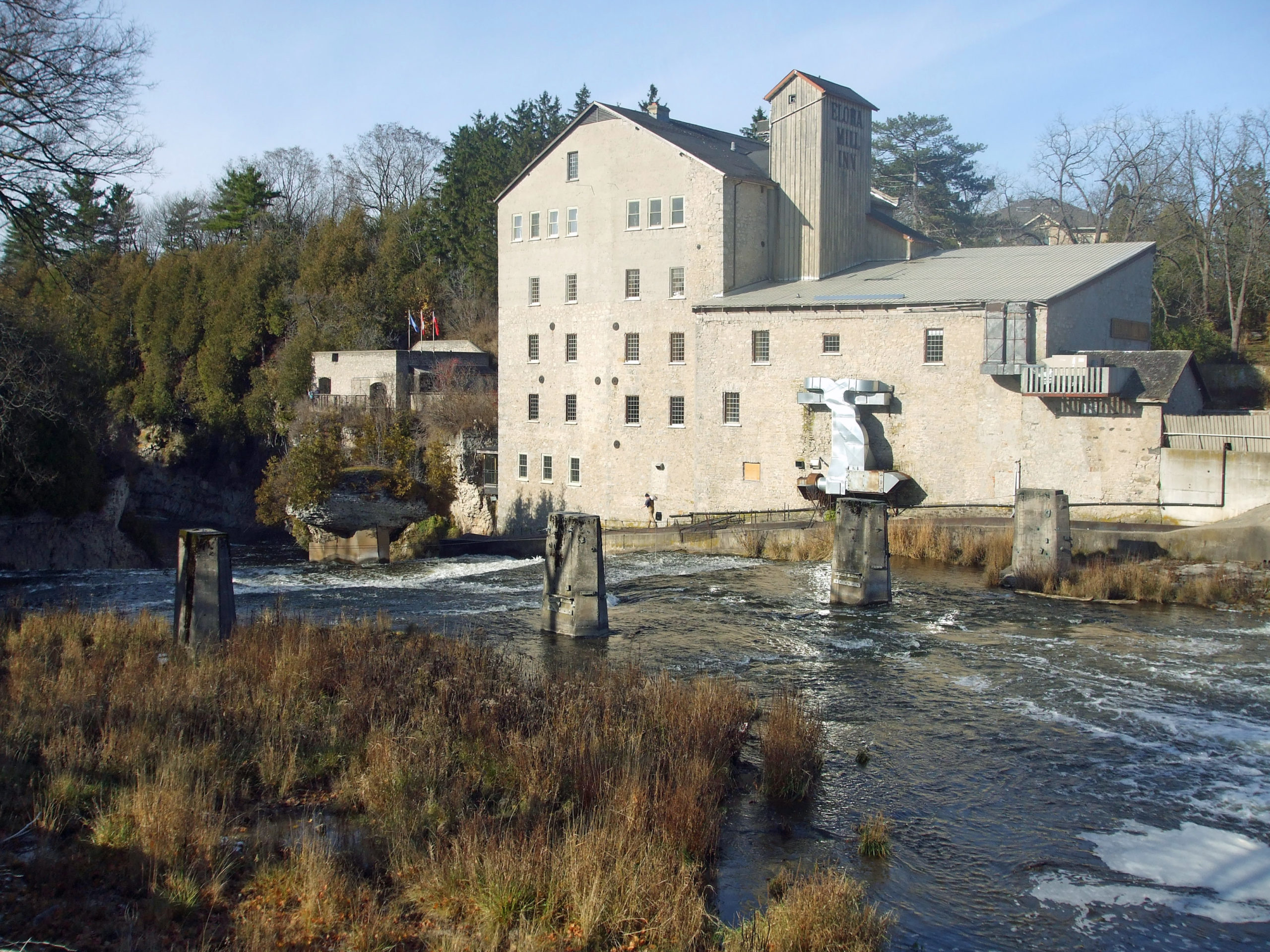
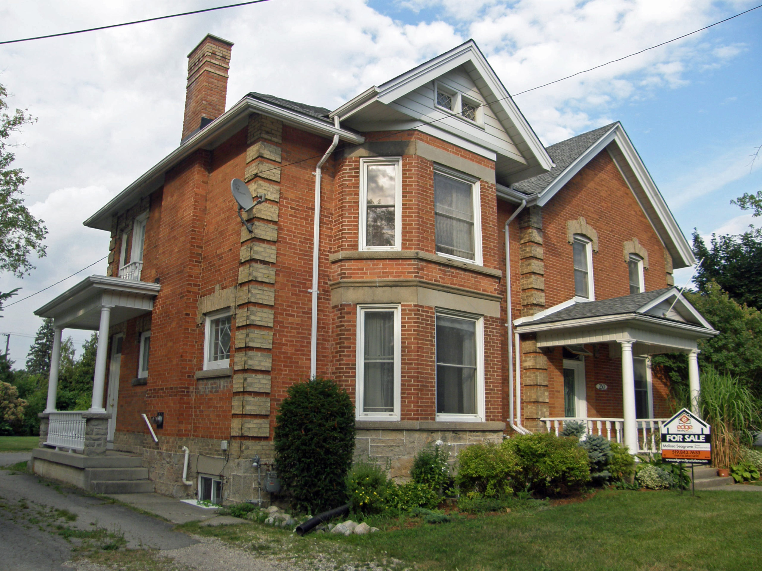
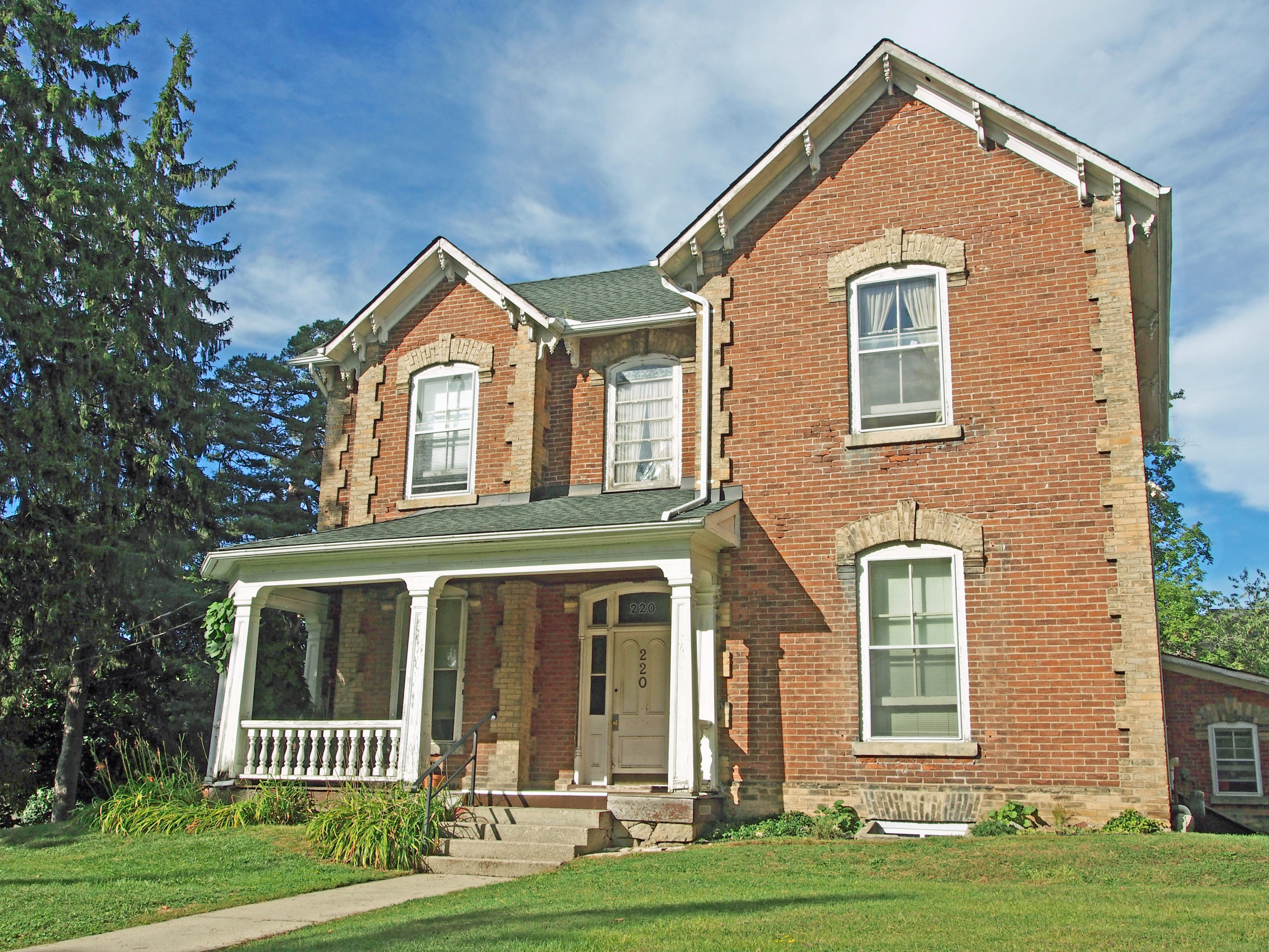
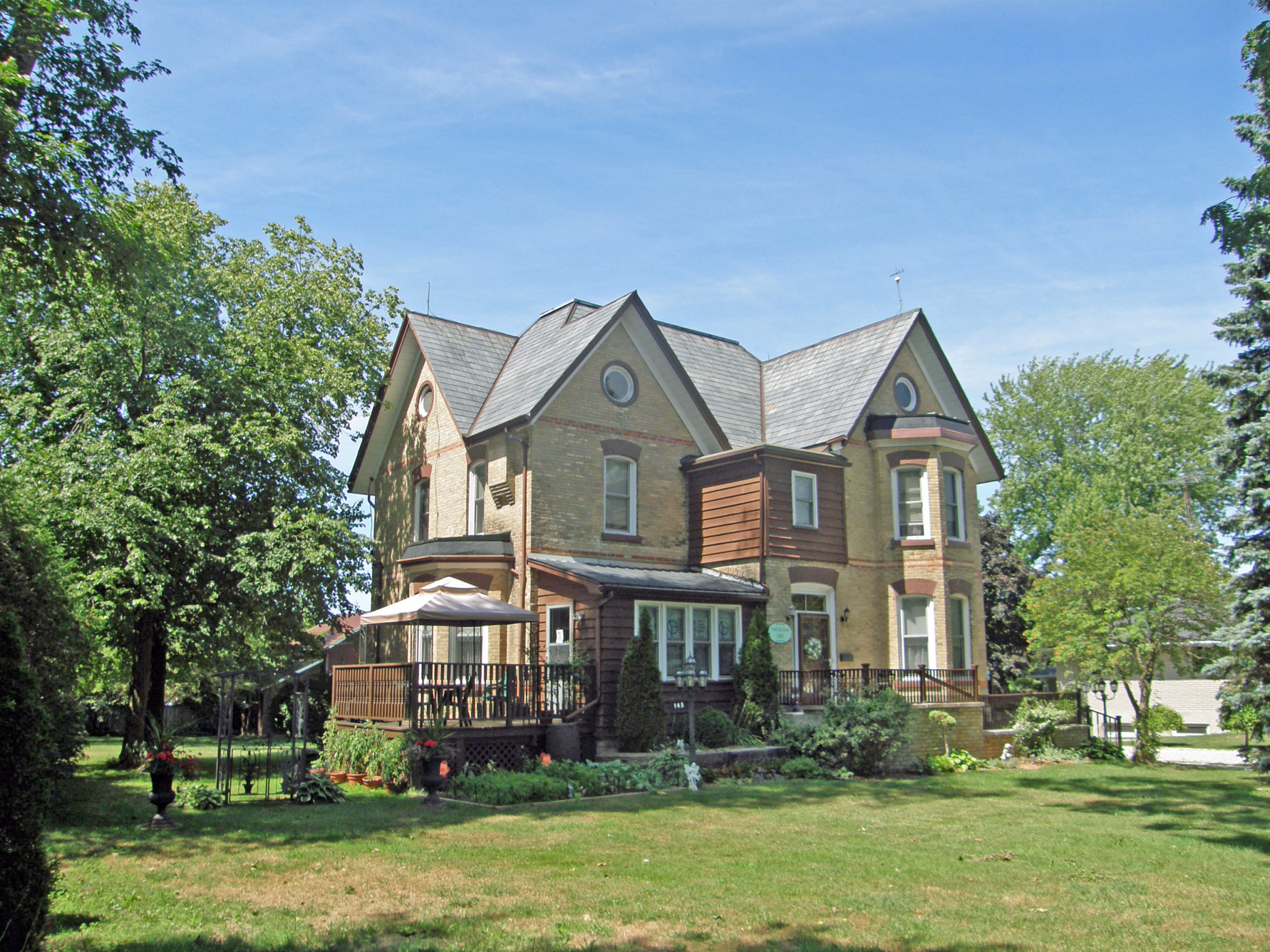
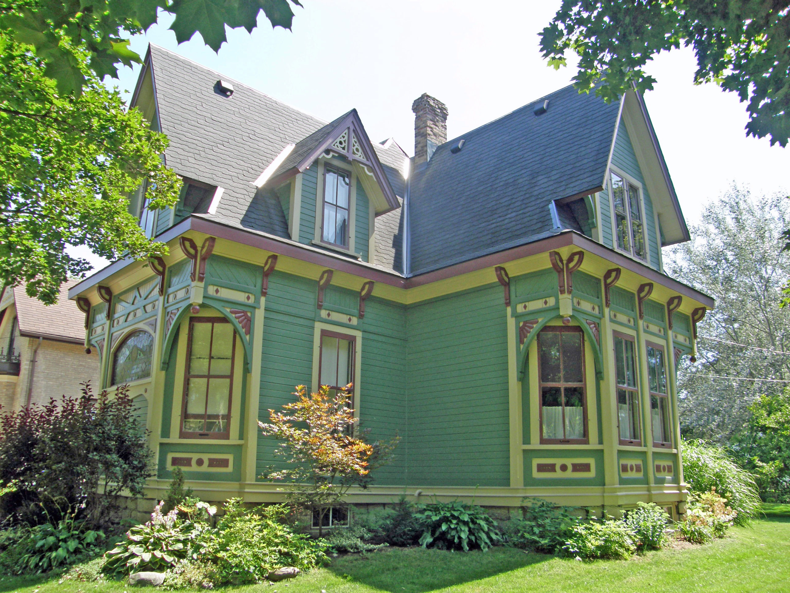
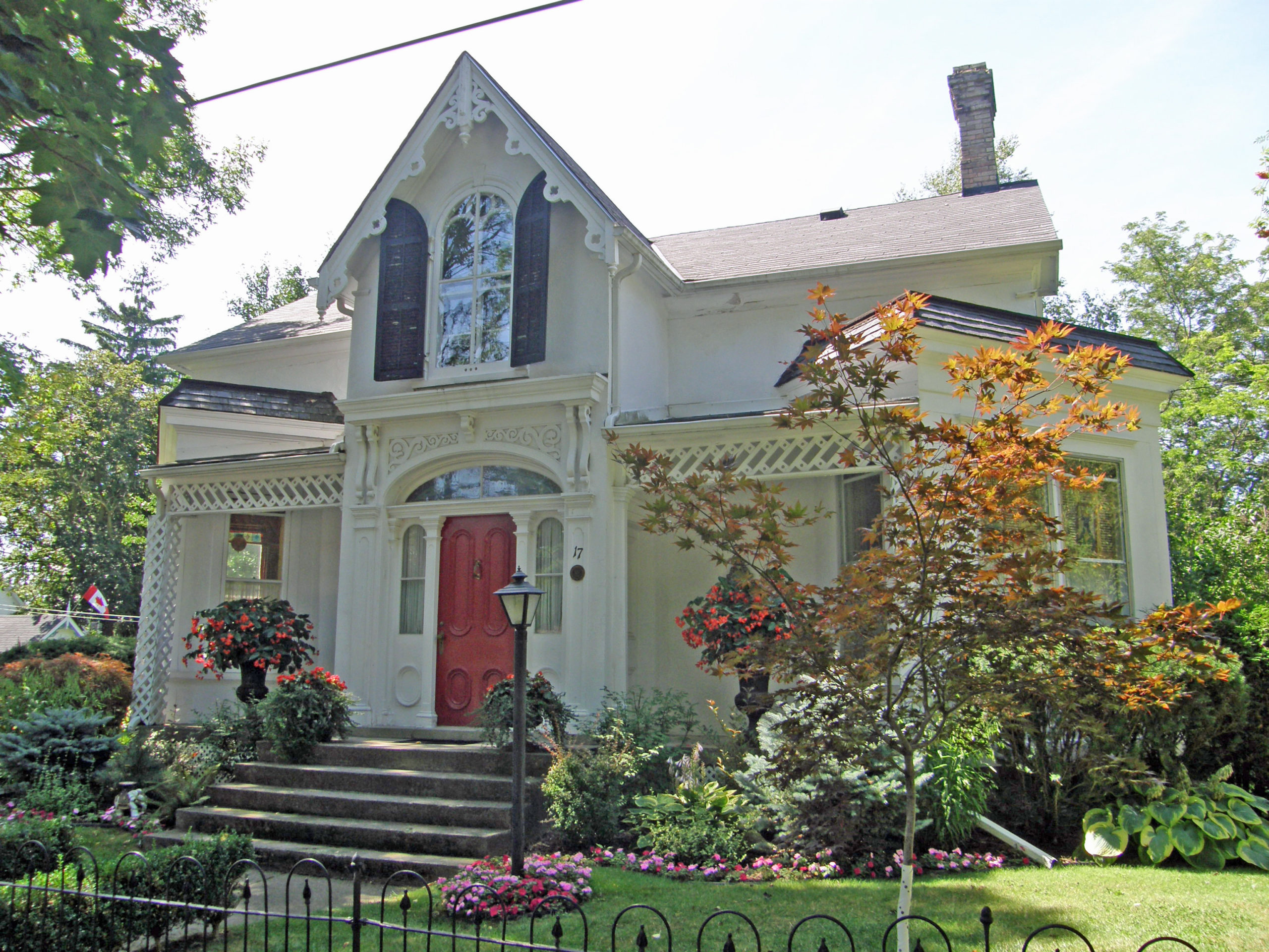
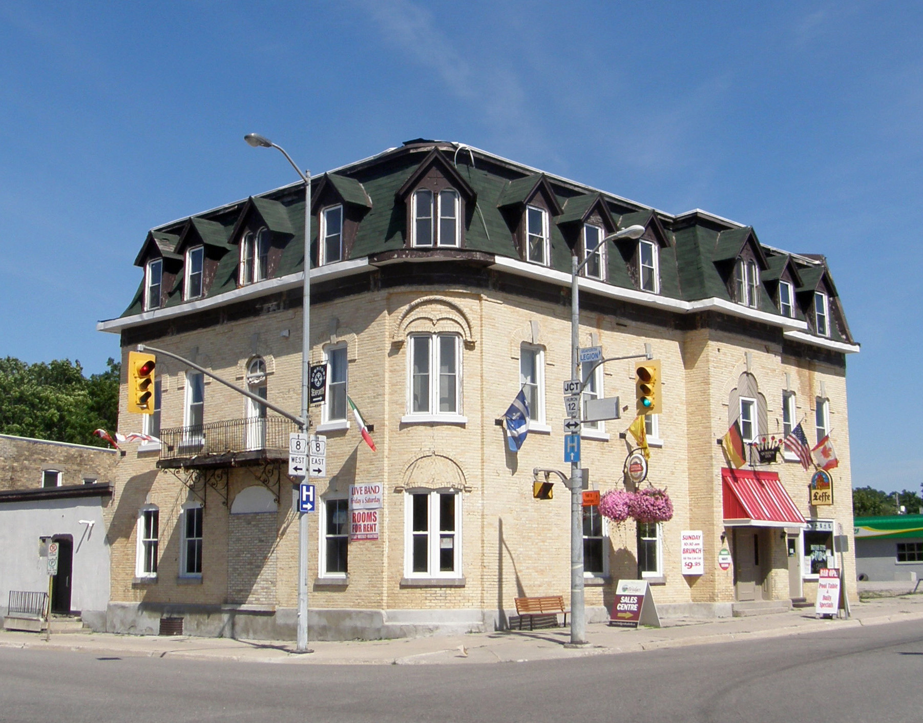
Wellesley Township was surveyed in 1842, but settlers were in this area long before. The town of Wellesley’s original name was Schmidtsville, derived from its founding settler, John Schmidt. In 1851, the town was renamed Wellesley after Richard Wellesley, 1st Marquess Wellesley, the eldest brother of Arthur Wellesley, 1st Duke of Wellington. The community quickly grew to be the largest economic center in rural Waterloo Region with a wood mill, feed mill, grain mill (which still stands after being constructed in 1856), leather tanner, cheese factory, restaurants and housing, and many other businesses that also brought much trade to the town from the nearby farms and farming villages.
When the Waterloo County boundaries were established in 1852 they included the townships of Waterloo, Wellesley, Wilmot, Woolwich, and North Dumfries.
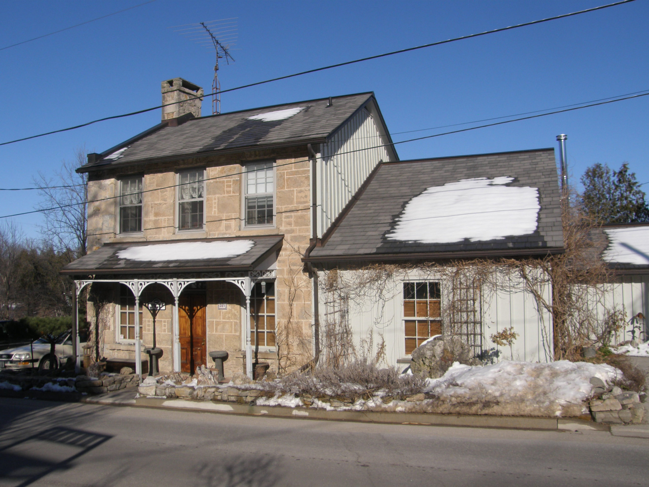
The first library in Wellesley Village was incorporated in 1900. The current branch is located in the former S.S. No. 16 Wellesley Township public school building. The school closed its doors in 1967.