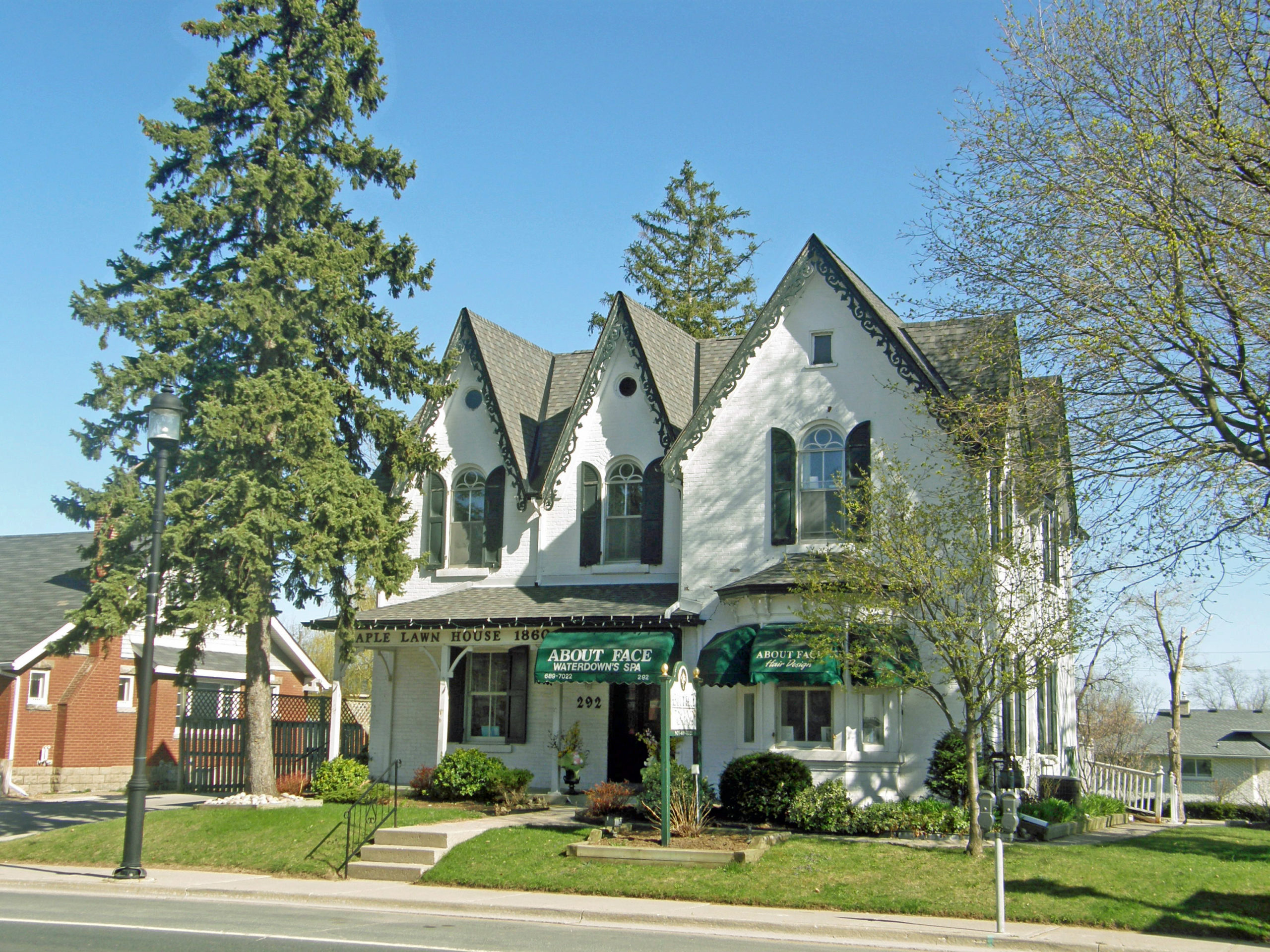
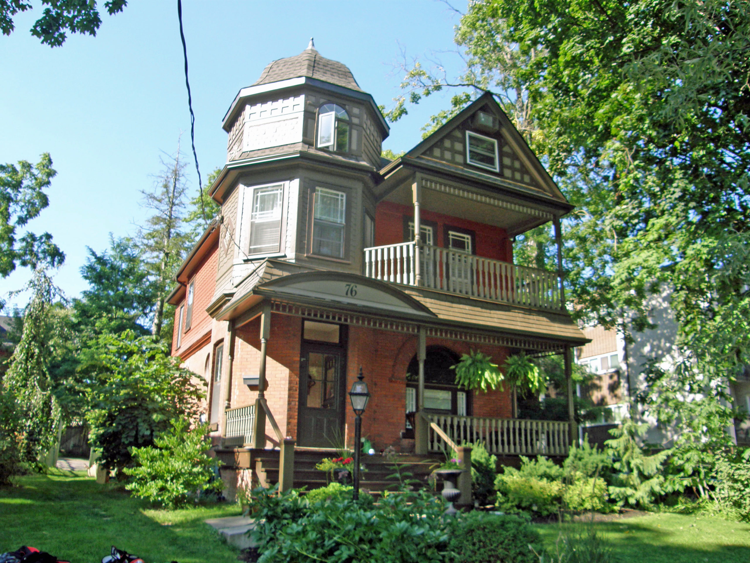
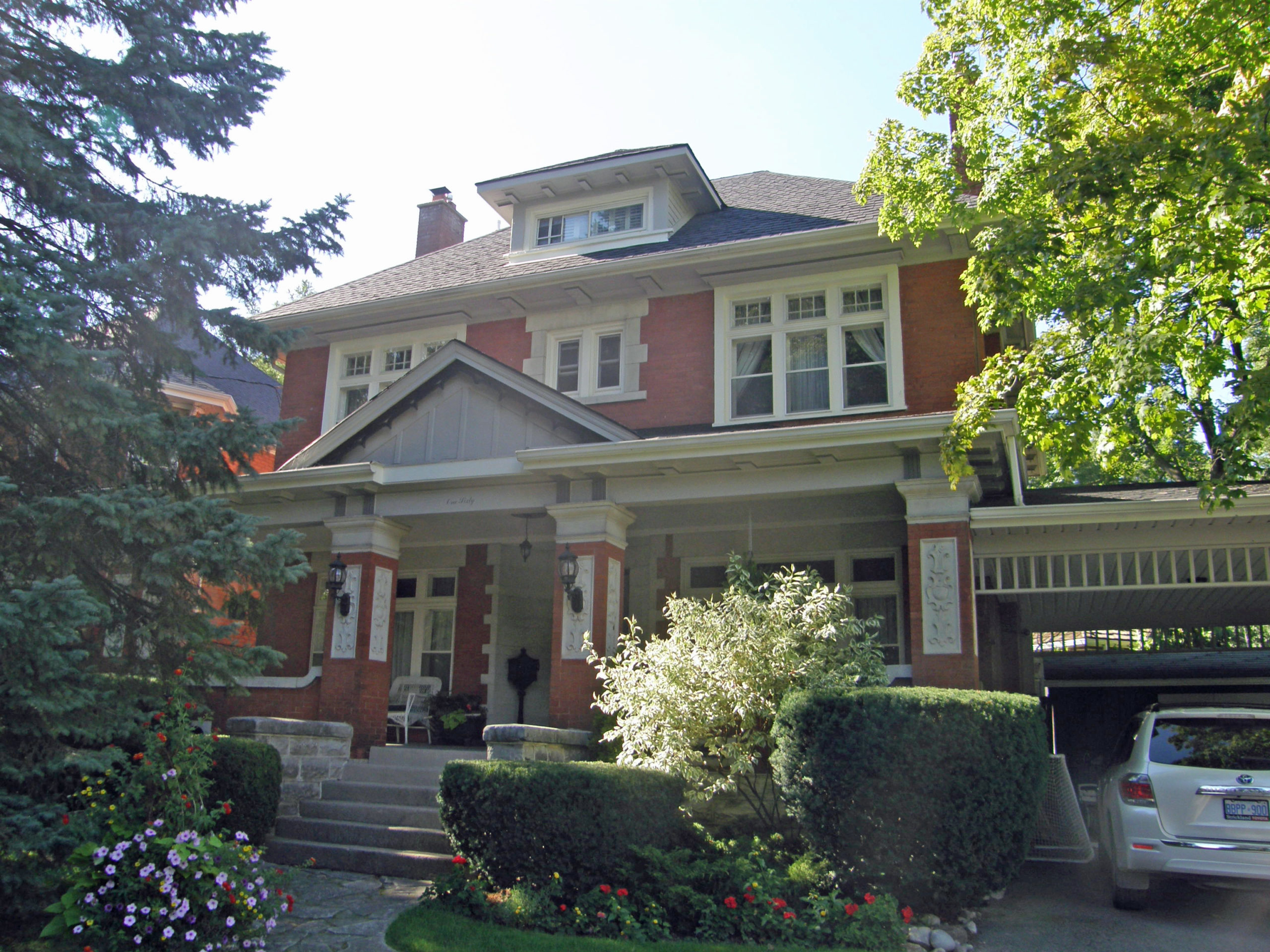
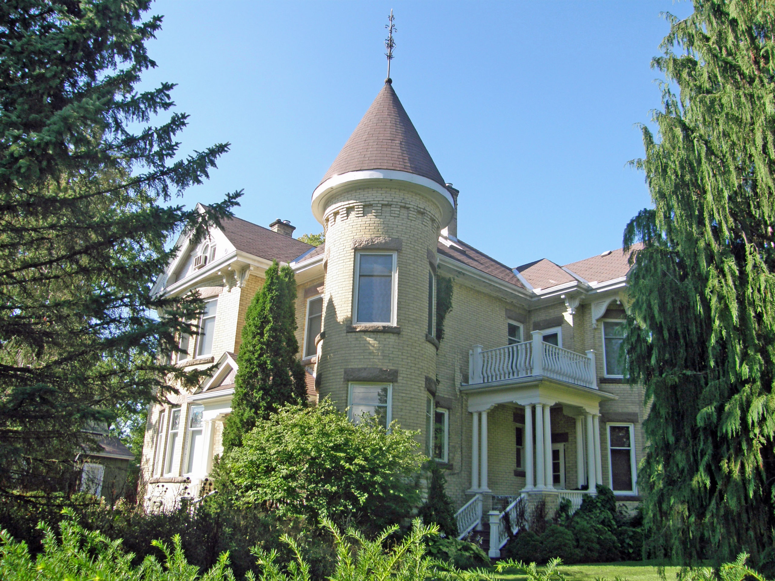
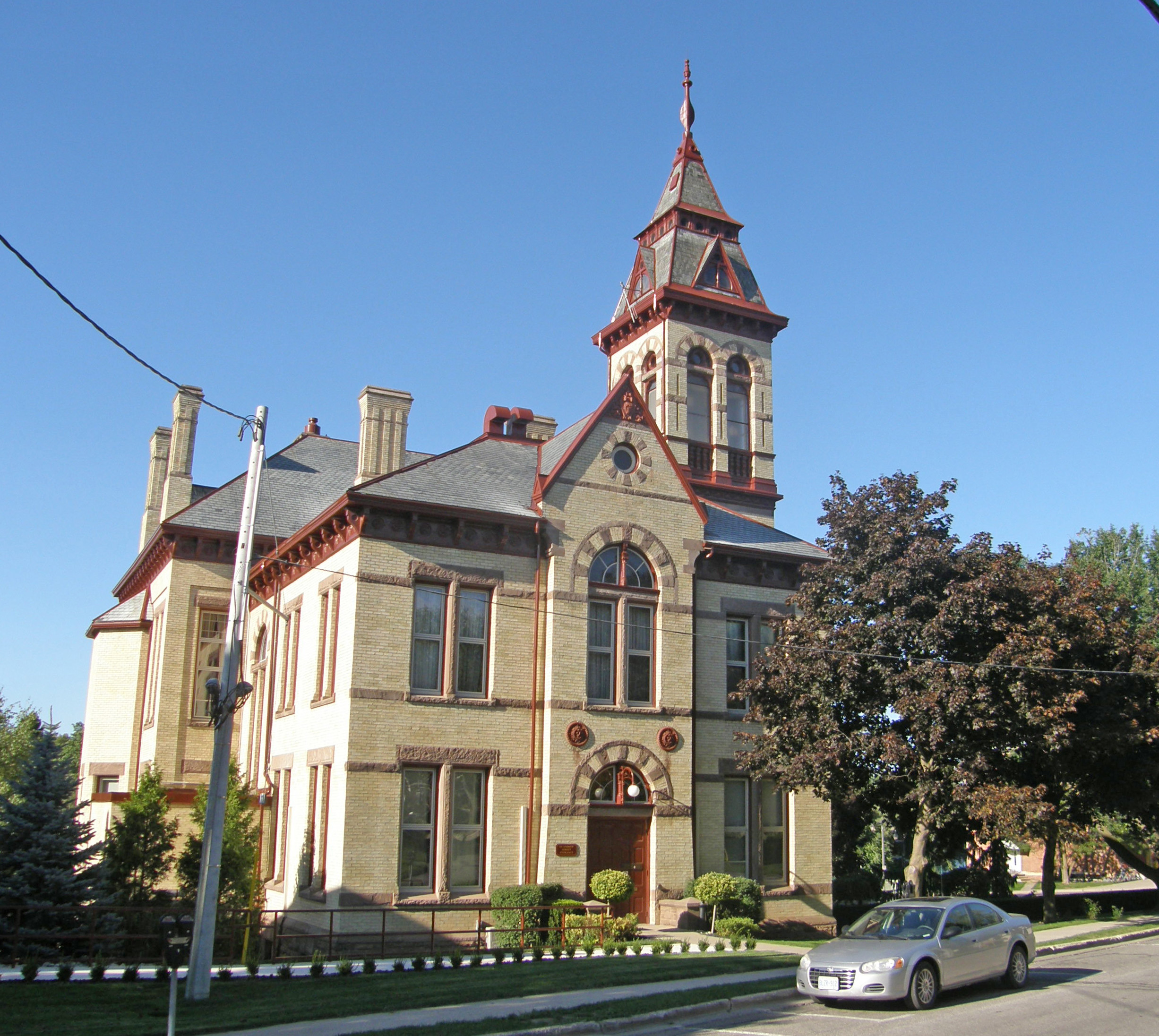
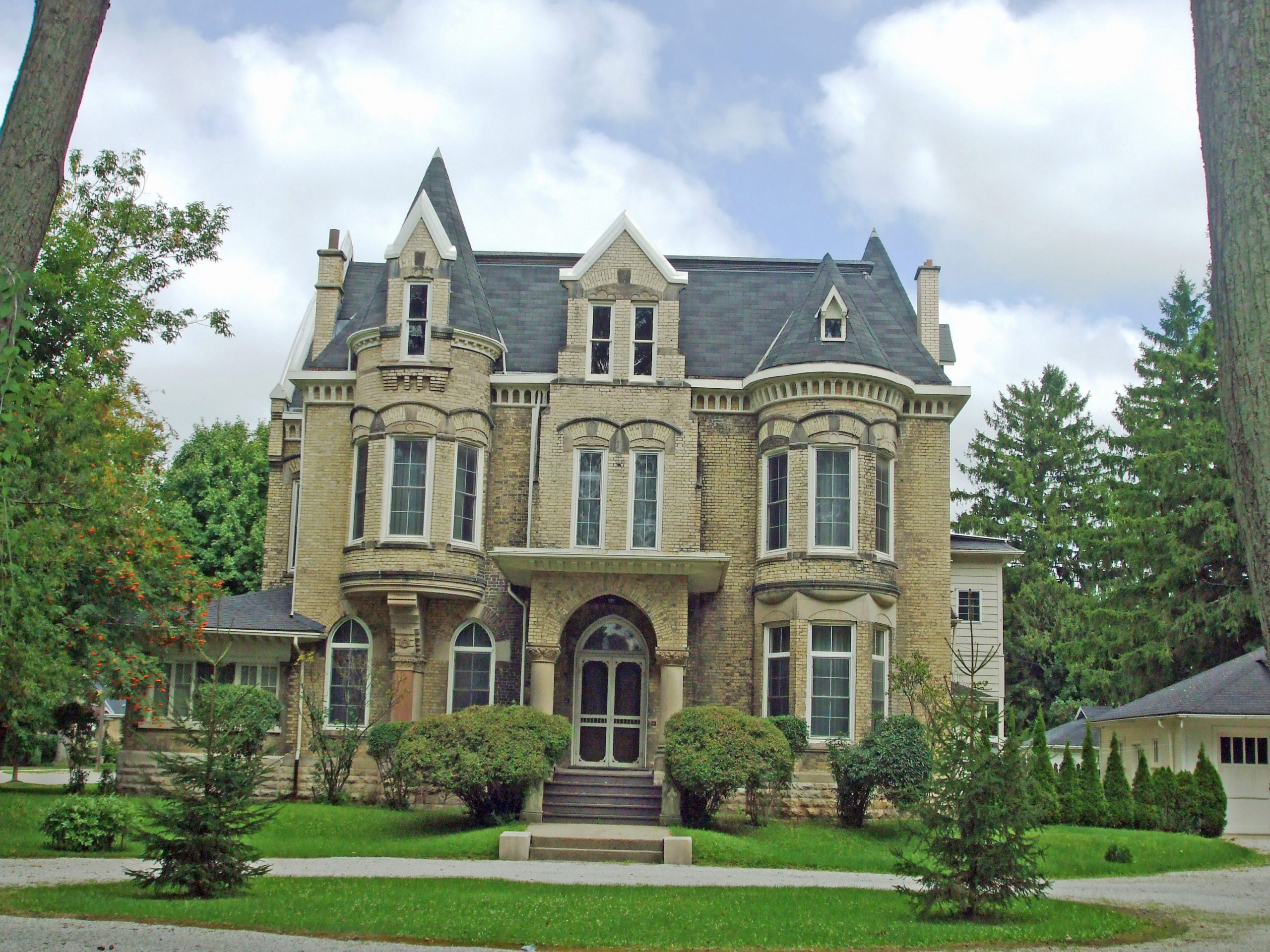
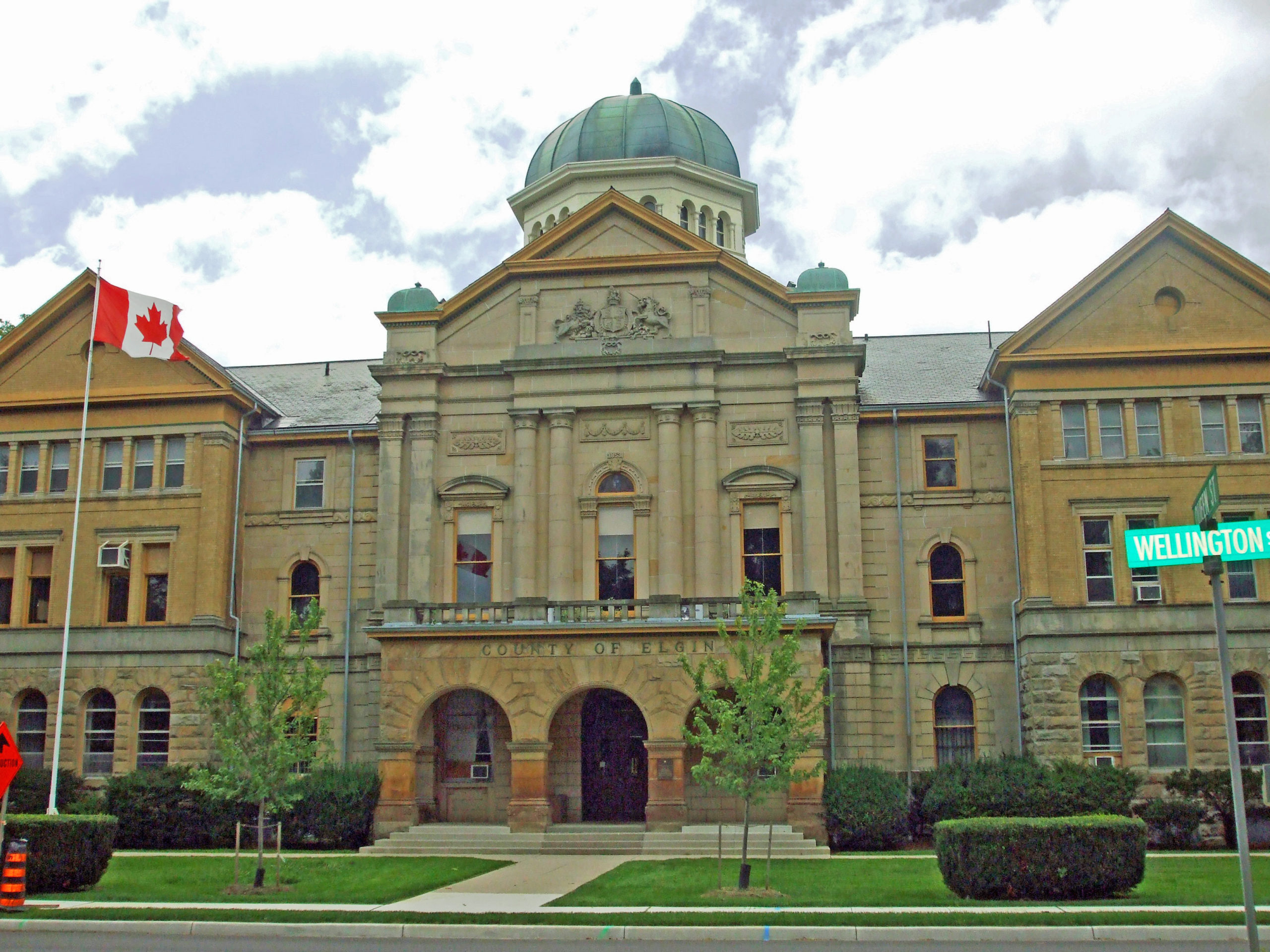
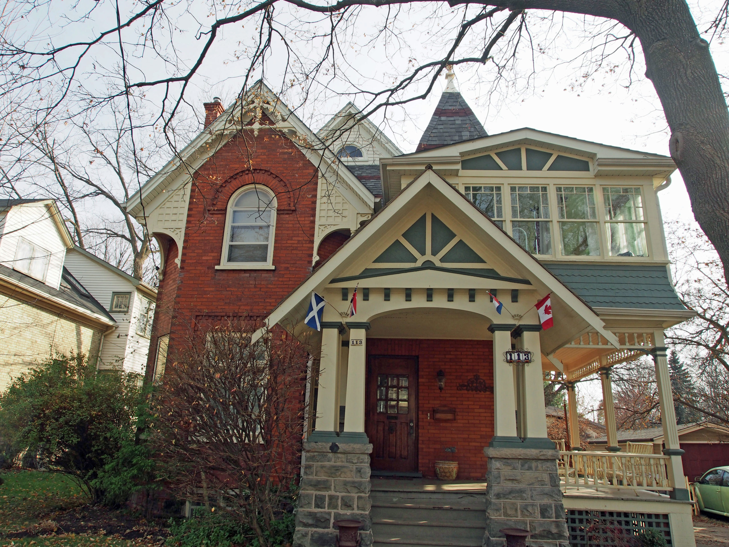
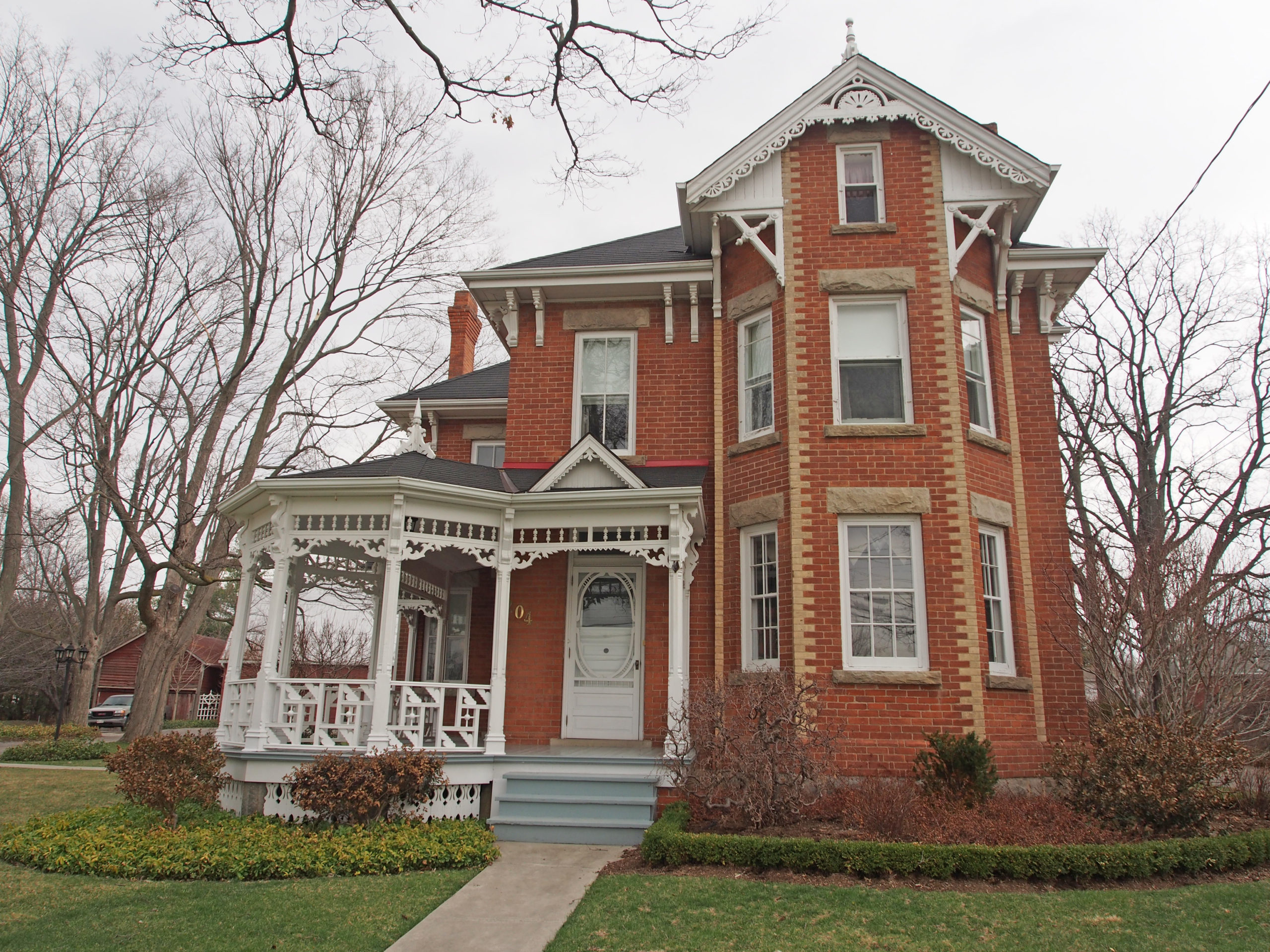
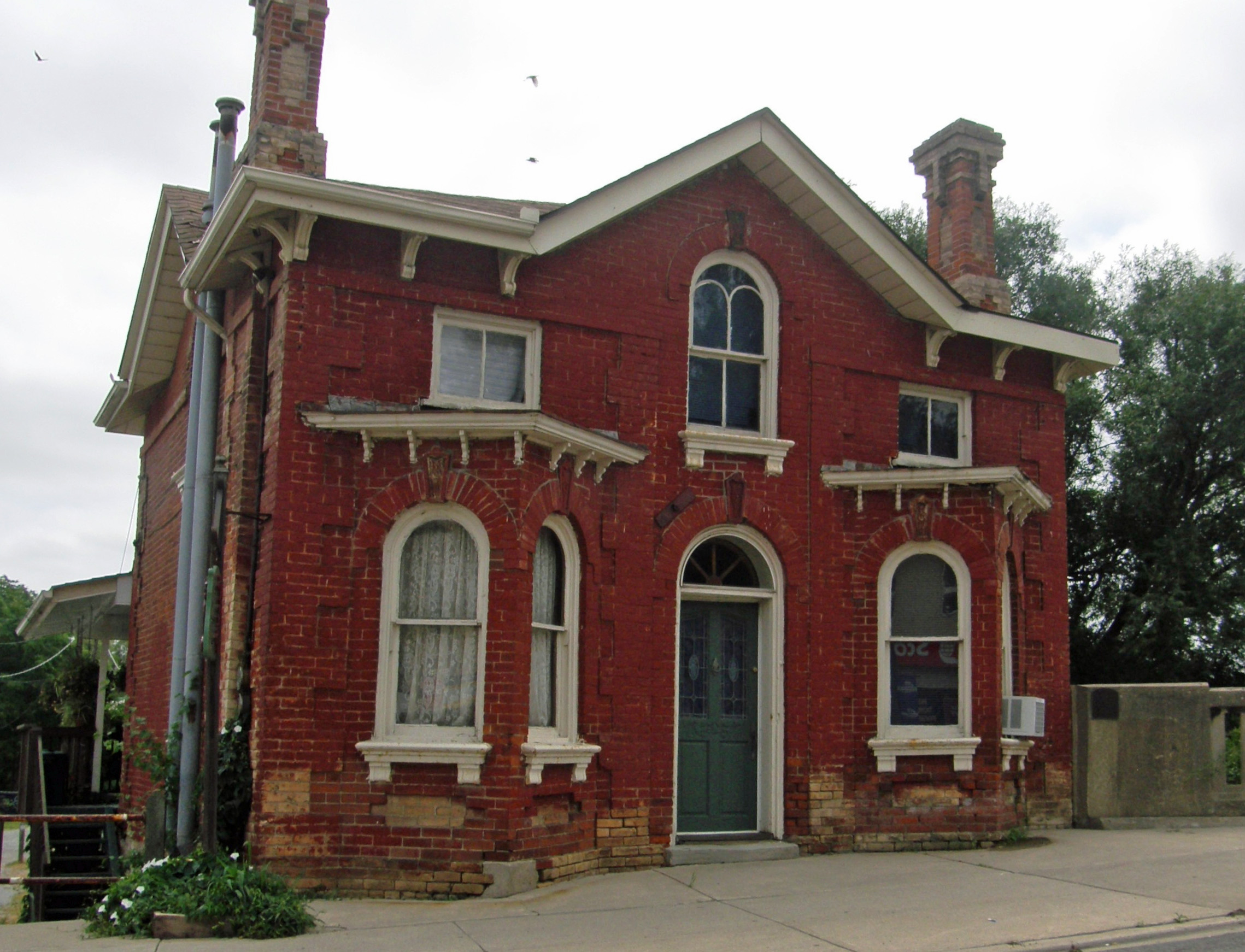
Waterdown, Ontario – My Top 7 Picks
Waterdown is located east of the junction of Highways 5 and 6, the intersection known as Clappison’s Corners.
Established in 1792, the Township of Flamborough was named after a prominent geographical formation, the Flamborough Head, and the Town of Flamborough in East Yorkshire, England. The most striking aspect of Flamborough Head is the white chalk cliffs that surround it. The chalk lies in distinct horizontal layers with a layer of glacial deposits at the top of the cliffs.
Alexander Brown of the North West Fur Company purchased 800 acres and built a log cabin and sawmill at the top of the Great Falls in present-day Smokey Hollow in 1805. He was the first European settler in the region and was a key figure in the community throughout his lifetime. He moved down Grindstone Creek to the site of present-day LaSalle Park and built “Brown’s Wharfâ€. Smokey Hollow was the site of saw, grist, and flour mills, a woolen mill, a brass foundry, tanneries, rake, cradle, and basket factories. Brown built the first school of the village in 1815 on the site of the present-day American House, and employed Mary Hopkins as its first teacher. Entrepreneur Ebenezer Culver Griffin arrived in 1823, purchased more than half of Alexander Brown’s property, and had his property surveyed in village lots, the true beginning of the Village of Waterdown.
In 1854, Flamborough was divided into two separate townships, East and West Flamborough. Included within East Flamborough was the town of Waterdown, named because of its close proximity to the place where Grindstone Creek tumbles over the Niagara Escarpment. Mills were built along the creek with the water harnessed to provide power.