Southwest Oxford and Norwich Townships, Ontario
South-West Oxford is a township in Ontario in Oxford County. A predominantly rural municipality, South-West Oxford was formed in 1975 through the amalgamation of Dereham and West Oxford townships and the village of Beachville.
South-West Oxford extends north to south from the middle of Oxford County along the Thames River/Highway 401/Woodstock-Ingersoll east-west corridor to the southern boundary of the county along the Delhi-Tillsonburg-Aylmer/Ontario Highway 3 east-west corridor. The northern boundary follows the course of the Thames River except where carveouts have extended the boundaries of Ingersoll and Woodstock into former township lands.
In its wilderness state, the former Dereham township had thousands of acres of swamp and marsh land which limited its use for agriculture. Several large drainage projects brought great improvement and remain as essential parts of the township’s farmland infrastructure. The township topography still has several large forested areas which are remnants of the original swamps on which drainage system runoff is concentrated.
At its north end, the township is underlain with an unusually pure limestone deposit centered between Ingersoll and Beachville that extends north-west through most of Zorra and south-east into Norwich. Open-pit mining of the limestone and kiln-firing to produce lime has been underway along the Thames River since pioneer days, and since the 1950s heavy industrial operations have led to nearly three thousand acres being licensed for extraction from pits more than 100 feet deep. The size of the limestone deposits is sufficient to support these operations for another century or more.
South-West Oxford includes lands in the former West Oxford township which were the earliest to be settled in Oxford County and also lands in the former Dereham township which were the last in the county to be settled. The greatest cause for slow growth in Dereham was the provincial government’s decision in 1799 to auction off all the wilderness land in the township in large blocks, which thereby fell into the hands of speculators who held the land dormant for decades.
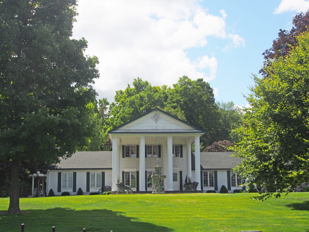
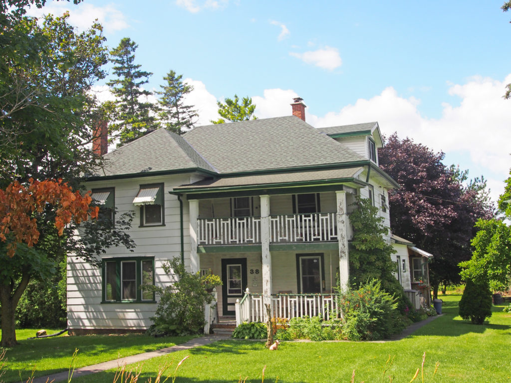
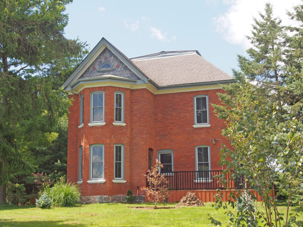
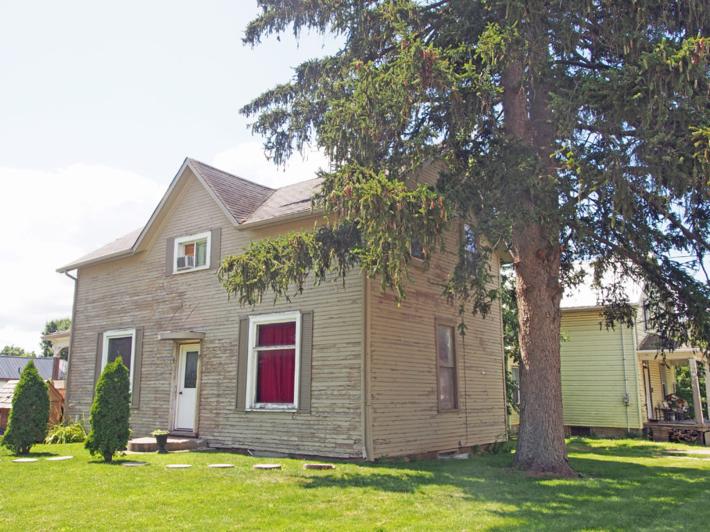
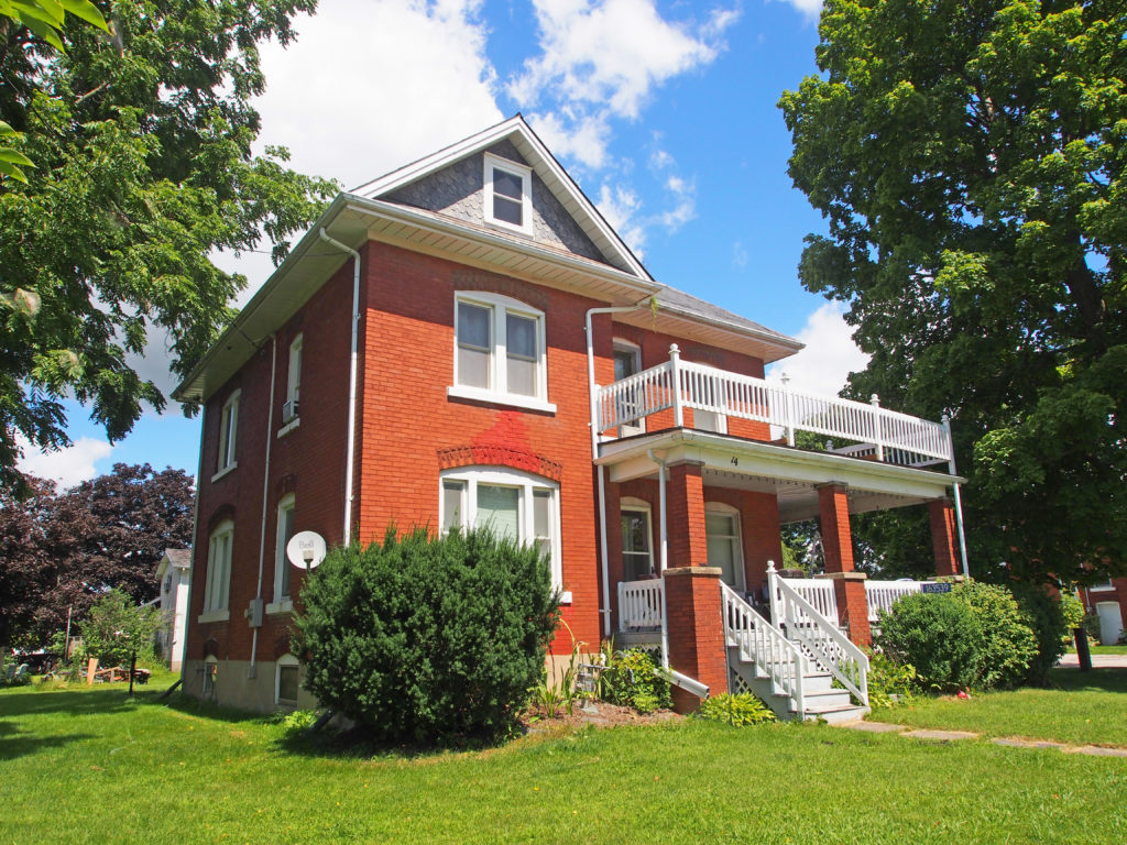
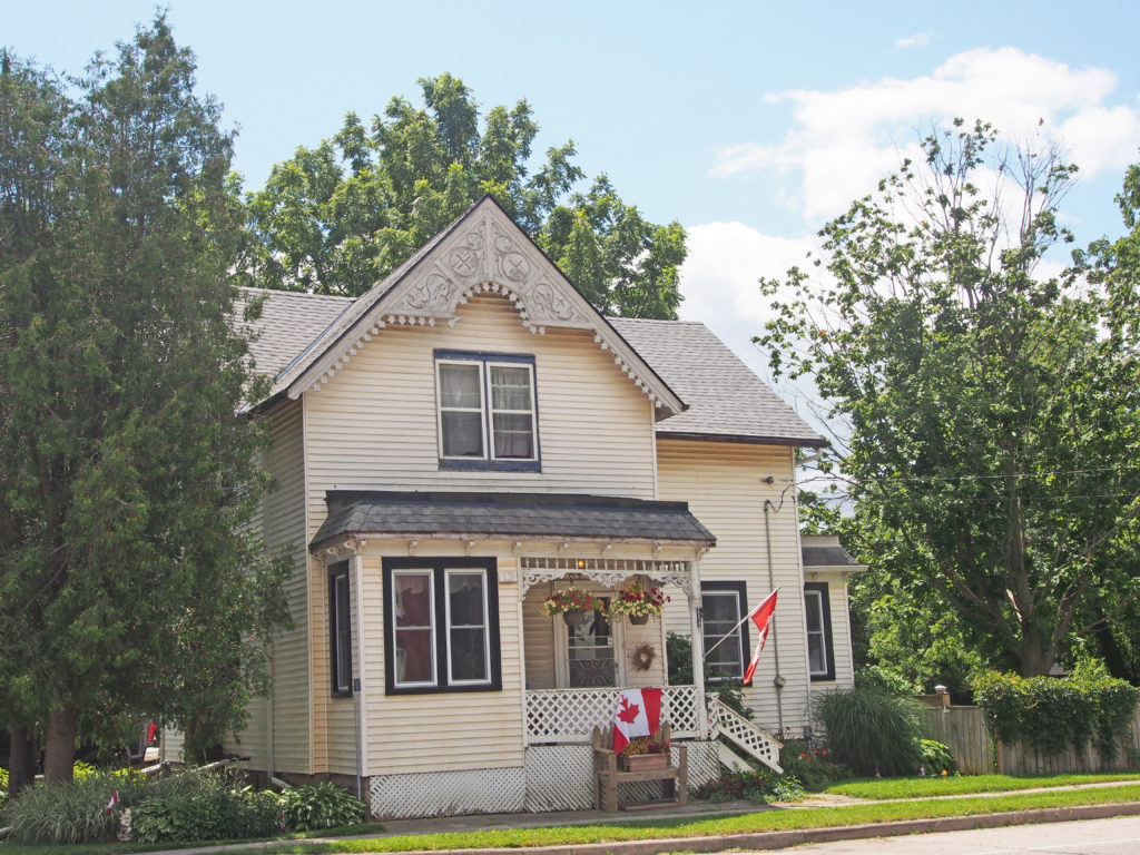
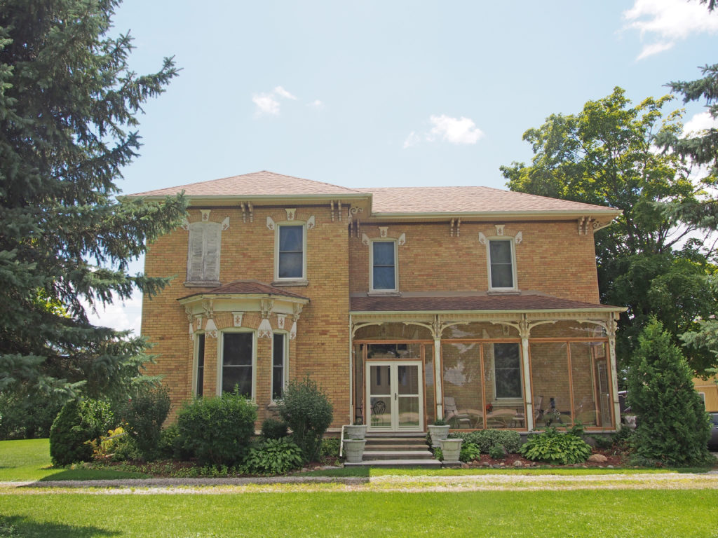
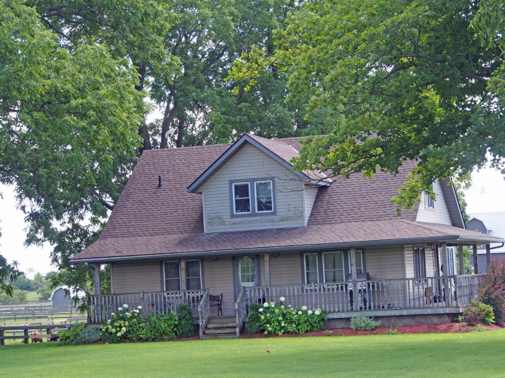
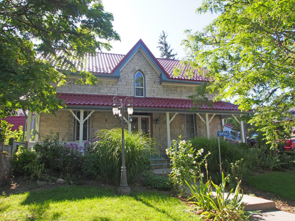
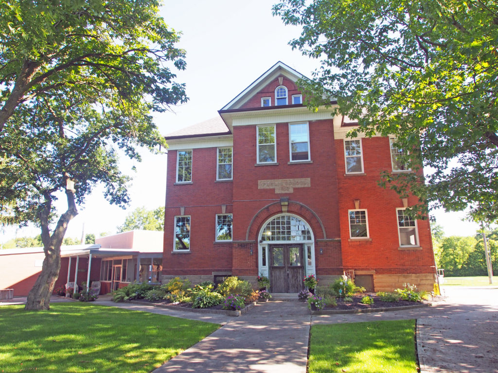
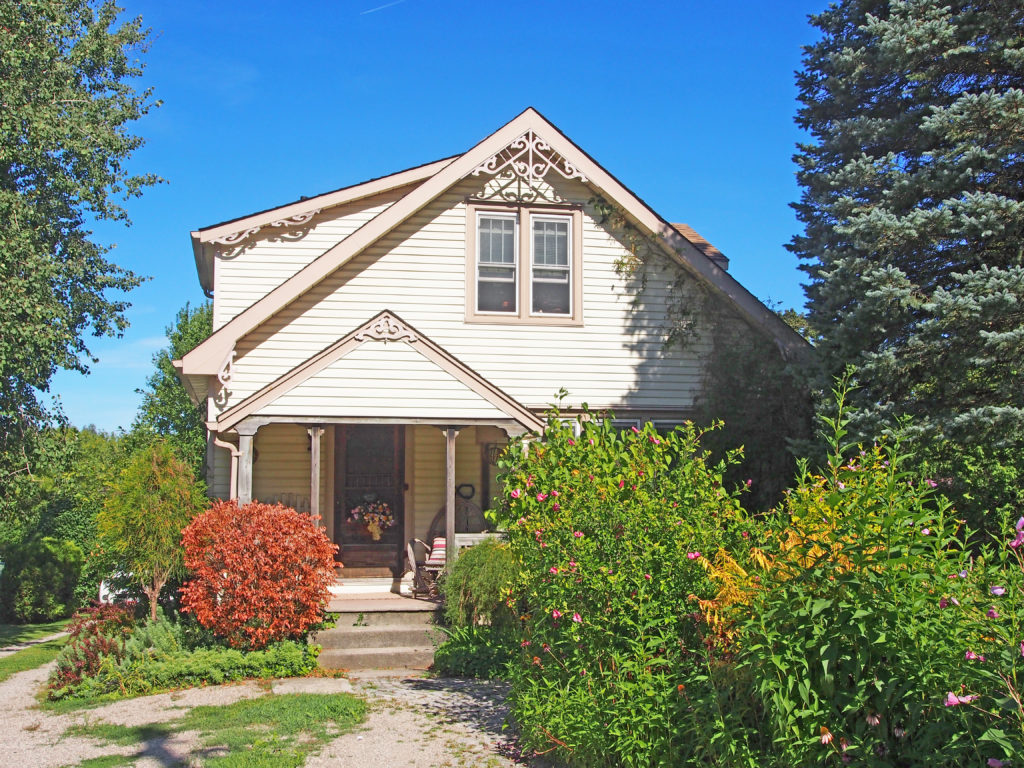
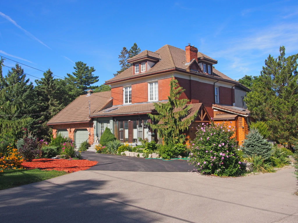
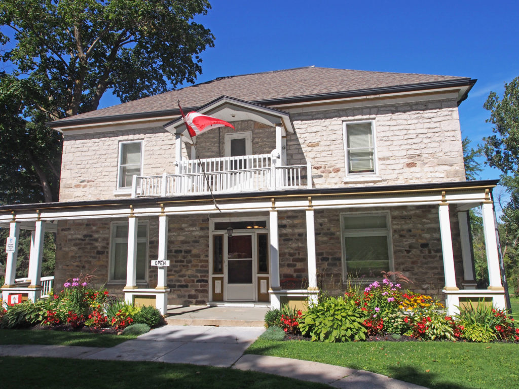
The township of South-West Oxford comprises a number of villages and hamlets, including the following communities such as *Beachville, Brownsville, Brownsville Station, Centreville, Culloden, Delmer, Dereham Centre, Foldens, Hagles Corners, Mount Elgin, Ostrander, Salford, Sweaburg, Verschoyle and Zenda.
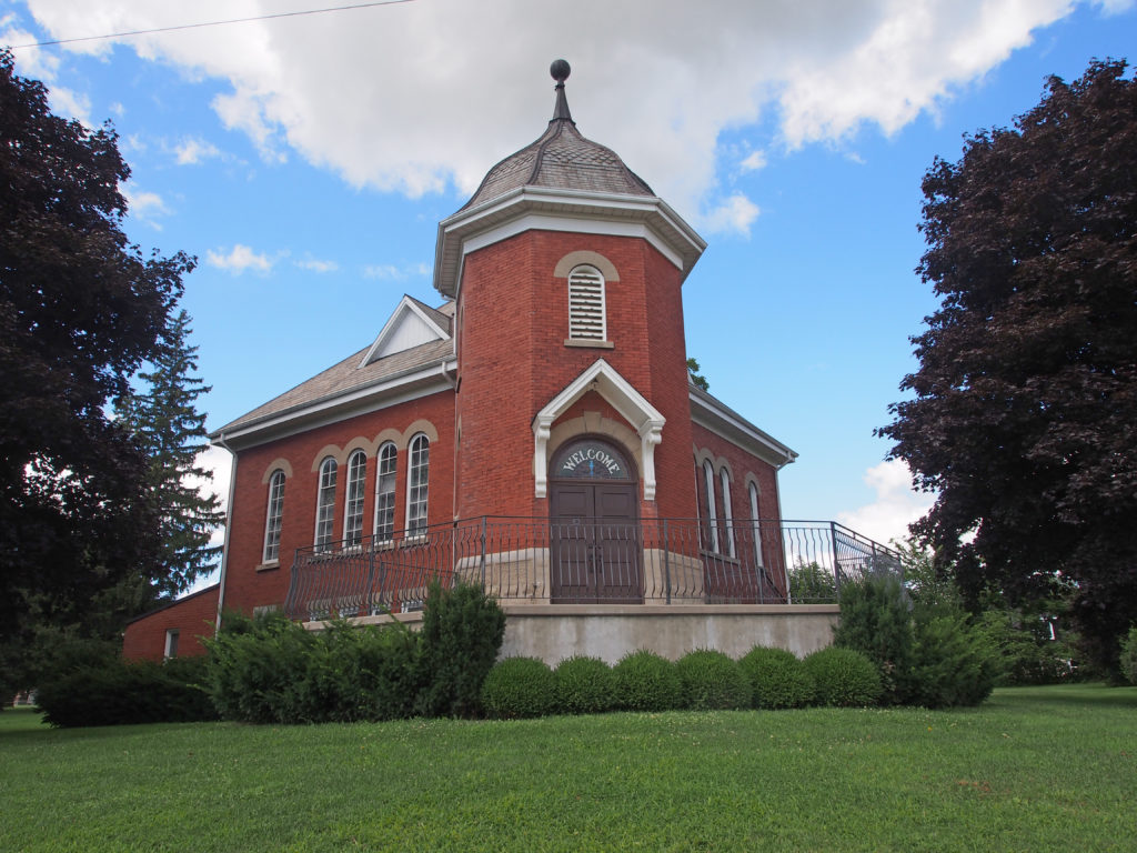
Salford is a small village along Highway 19; it is surrounded by agricultural land and the Oxford landfill to the east. There are two churches, and the Salford Community Centre with a ball diamond.
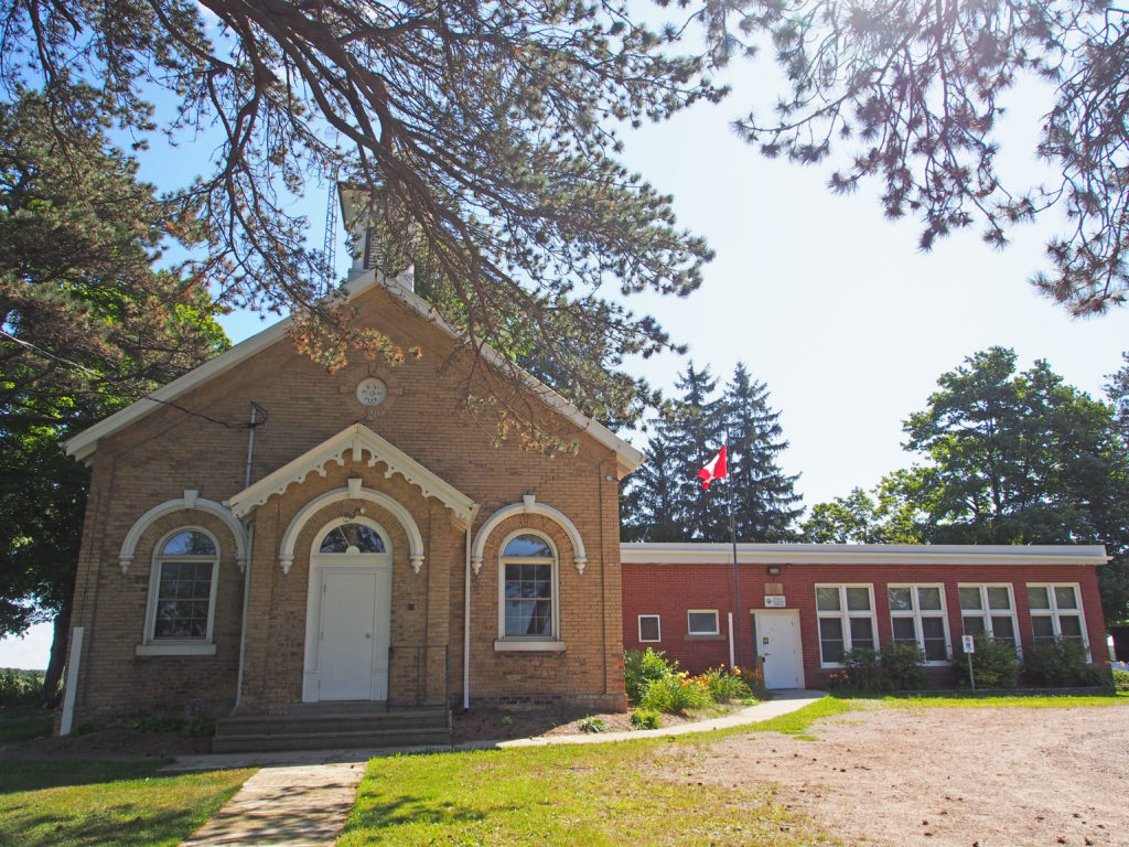
Sweaburg is located five kilometers southwest of Woodstock. Its main intersection is Sweaburg Road and Dodge Line (County Roads 12 and 41). It had a public school for students up to grade three until 2009, and currently has Sweaburg United Church and cemetery, a ball diamond, and a convenience store.
The Township of Norwich is a located in Oxford County in southwestern Ontario. Oxford County Road 59 is the major north–south highway through much of the township. The local economy is largely agricultural, based on corn, soybean, and wheat production with dairy farming in the north part of the township and tobacco, vegetable, and ginseng farming to the south. Slowly, ginseng and traditional cash crops are replacing the former cash crop – tobacco, as demand shrinks.
Upon his arrival in the province in 1792, the first proclamation issued by John Graves Simcoe, the Lieutenant Governor of Upper Canada while still at Kingston, announced the names and boundaries he had decided upon as political boundaries for Upper Canada. For areas lying to the west of Kingston, he decided that county names would be a “mirror of Britain”. To accomplish this, the sequence of names for counties along Lake Ontario became Northumberland, Durham, York and Lincoln, and for counties along Lake Erie, the names became Norfolk, Suffolk, Essex and Kent. (This was the same sequence of county names in place along the eastern seacoast of England, running from the Scottish boundary down to the English Channel.) The proclamation defined the northern boundary of Norfolk County as being the Thames River. Norwich and Dereham townships were originally within the land area designated as belonging to Norfolk County in Upper Canada, and were named after the towns of Norwich and Dereham in Norfolk County in England.
Governor Simcoe with several other government officers, guided by a party of Six Nations warriors, conducted a wilderness tour on foot up the length of the Thames River in 1793 and decided to assign additional place names to mirror those they knew along the Thames River in England. Middlesex County was the name assigned to the area around a town site reserved at the “lower forks” in the river, to be called London; Dorchester was the name for a town site at the “middle forks”, and the area around the “upper forks” was to be Oxford – the same sequence of names as found along the Thames in England. When legislation was passed in Upper Canada in 1798 to implement these new divisions, Norwich and Dereham were separated from Norfolk County and added to the new Oxford County, which included also Burford, Blenheim, Blandford and Oxford townships – names drawn from Oxfordshire in England.
Shortly after returning from this tour, in March 1793, Simcoe received a petition from Thomas Ingersoll and associates asking for grant of a township to which they promised to bring settlers from New England. The group was granted the township of Oxford-on-the-Thames. In order to bring settlers into the wilderness area township, a road had to be built from Brantford up to the Thames River, a distance of thirty miles (forty-eight kilometers), and Thomas Ingersoll arranged that work over the course of the next two years. The first ones to become permanently settled in the township were likely Samuel Canfield Sr. and his wife and sons, who agreed to make their new home into a half-way stopping point for travelers along the road, at what became known as Oxford Centre.
Beachville was the heart of Oxford County with settlement beginning in 1791.
The Bostwicks, Ingersolls and Canfields were New England families who had made their start in the New World in the 1600s, and frontier living had been second nature to them for generations.
Settlement in the former Norwich Township came more than fifteen years after Oxford Township. The Norwich settlement was founded by two men: Peter Lossing and Peter De Long. Both men were from New York. Peter Lossing’s house was the first one in Norwich. It now stands by the old Quaker Meeting House. Both men where Quakers. The town of Norwich began as a completely Quaker settlement.
In 1799, the Township of Norwich was laid out by surveyor William Hambly into lines and concessions and 200-acre lots. The township was divided into North and South Norwich Townships in 1855.
In 1975, Oxford County underwent countywide municipal restructuring. The Village of Norwich and the Townships of East Oxford, North Norwich and South Norwich were amalgamated to create the Township of Norwich.
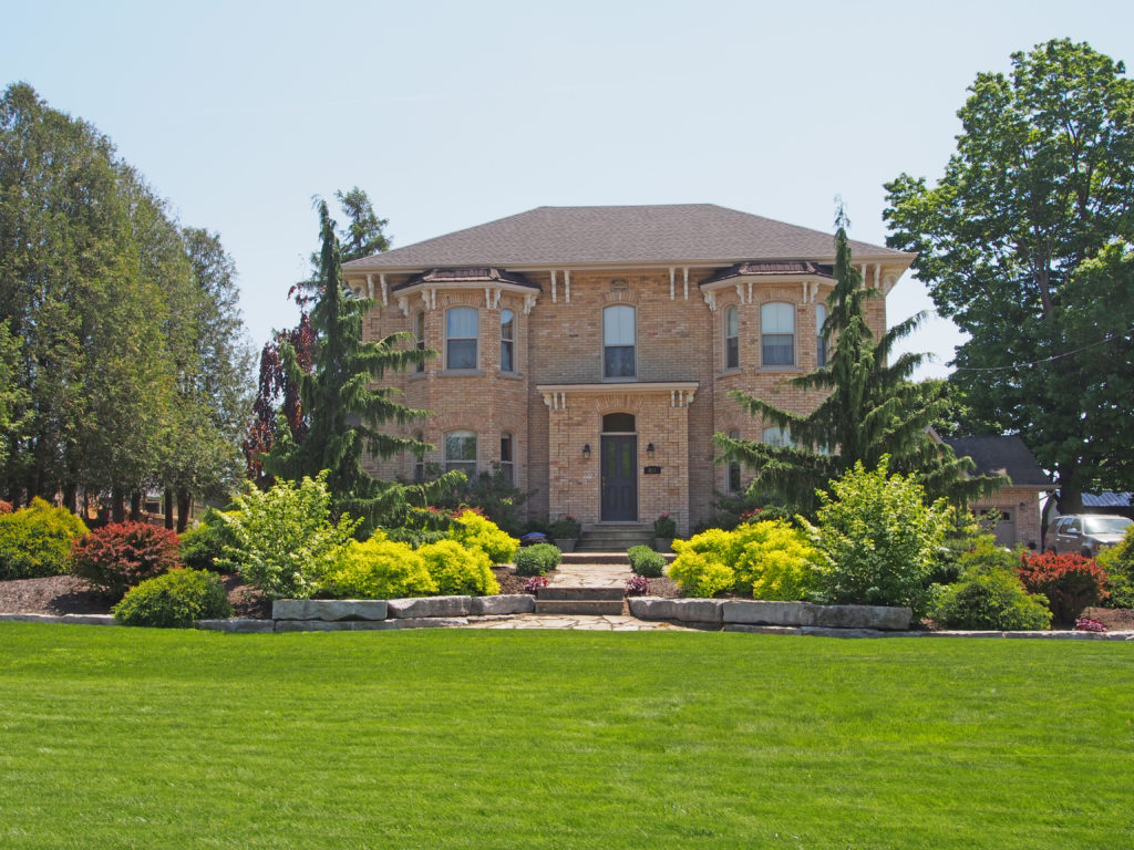
Norwich includes the communities of Beaconsfield, Bond’s Corners, Brown’s Corners, Burgessville, Cornell, Creditville, Curries, Eastwood, Hawtrey, Hink’s Corners, Holbrook, Milldale, Muir, Newark, New Durham, Norwich, Oriel, Otterville, Oxford Centre, Rock’s Mills, Rosanna, Springford, Summerville, Blows, and Vandecar.