Cobourg is a town in Southern Ontario ninety-five kilometers (59 miles) east of Toronto and 62 kilometers (39 miles) east of Oshawa. It is located along Highway 401. To the south, Cobourg borders Lake Ontario.

Author of Saving Our History One Photo at a Time – architecture of 1800s and 1900s in towns of Ontario, Canada and Historical Romance/Fiction

Cobourg is a town in Southern Ontario ninety-five kilometers (59 miles) east of Toronto and 62 kilometers (39 miles) east of Oshawa. It is located along Highway 401. To the south, Cobourg borders Lake Ontario.


Cobourg is a town in Southern Ontario ninety-five kilometers (59 miles) east of Toronto and 62 kilometers (39 miles) east of Oshawa. It is located along Highway 401. To the south, Cobourg borders Lake Ontario.
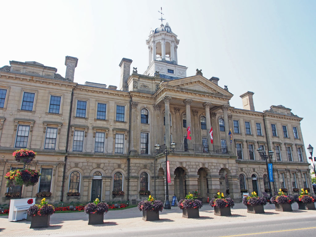
James Cockburn, born in England, moved to Montreal with his family in 1832. In 1845 he came to Cobourg to practice law and, until 1849, shared a practice with D’Arcy Boulton, another prominent politician. Married in 1854 to Isabella Susan Patterson, Cockburn began raising a family and found interest in public affairs. He was elected to the Cobourg town council in 1856, 1858 and 1859. During this time, when plans for Victoria Hall floundered due to lack of finances, Cockburn offered the leadership which saw the project completed in 1860. While serving in local politics Cockburn acquired a reputation for honesty, fair dealing, integrity and sound logic. He was one of the Fathers of Confederation.
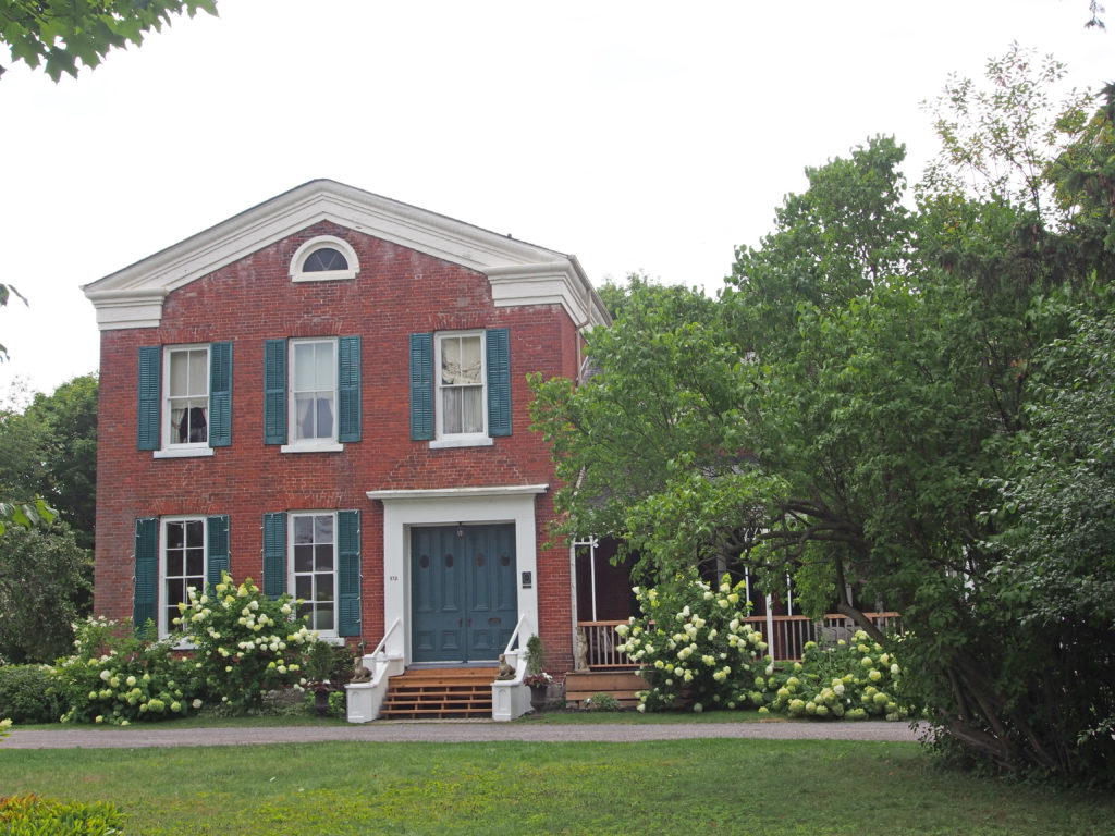
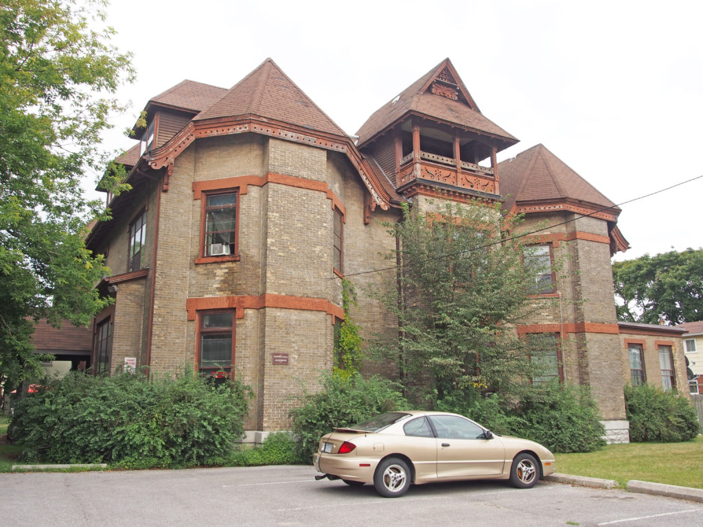
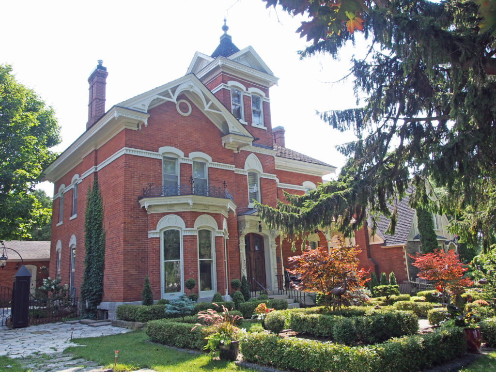
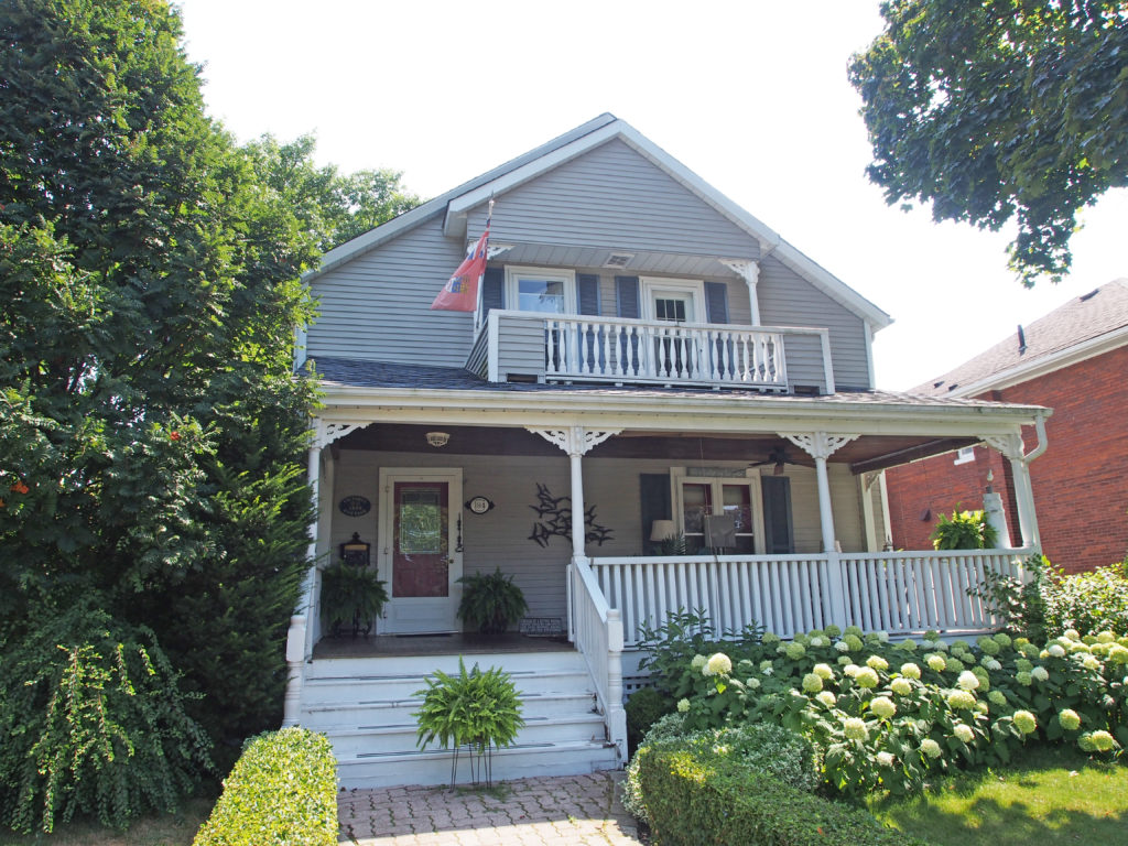
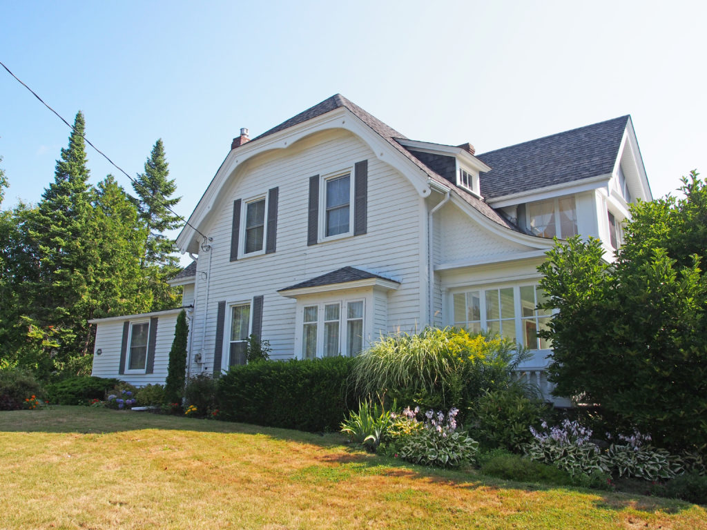
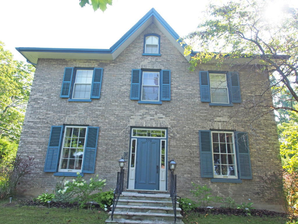
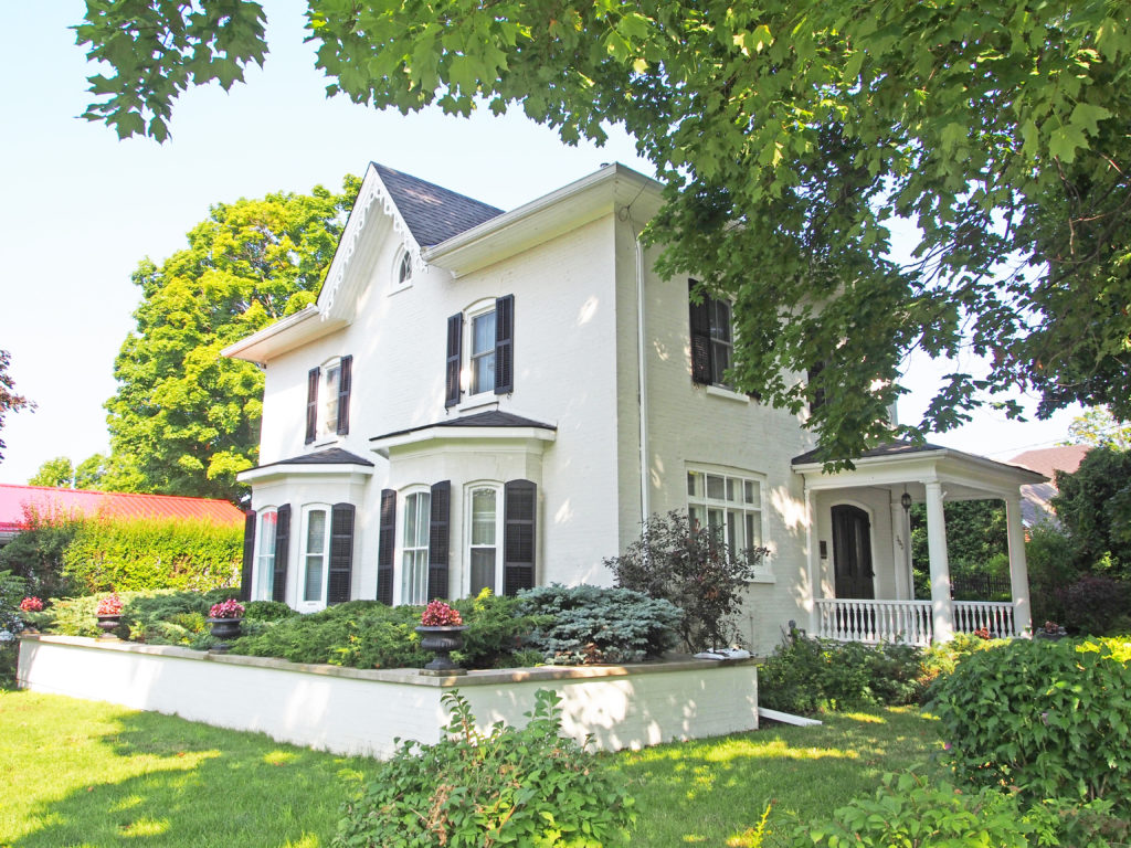
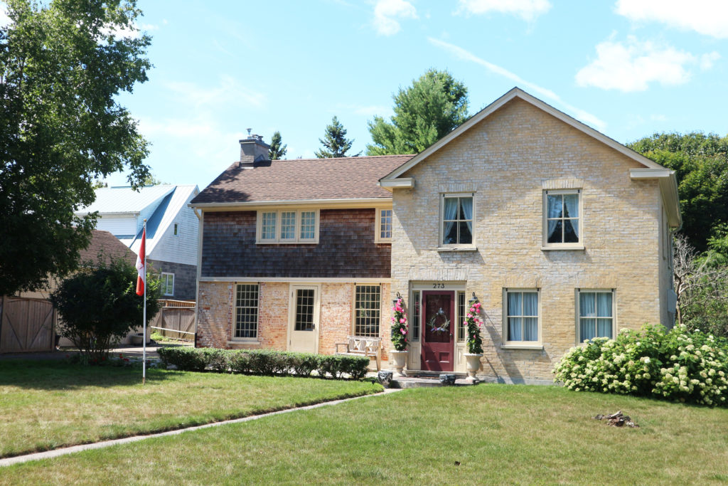
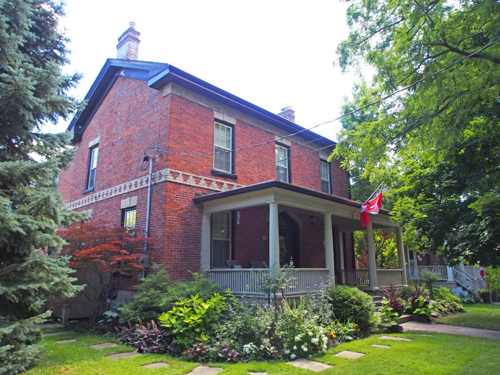
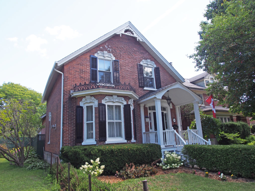
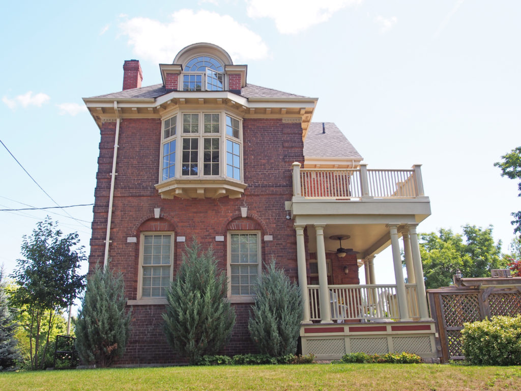
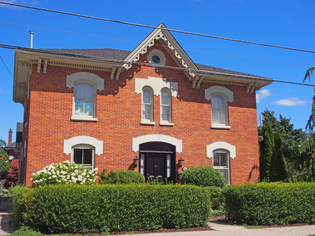
Cobourg retains its small-town atmosphere, in part due to the downtown and surrounding residential area’s status as a Heritage Conservation District.

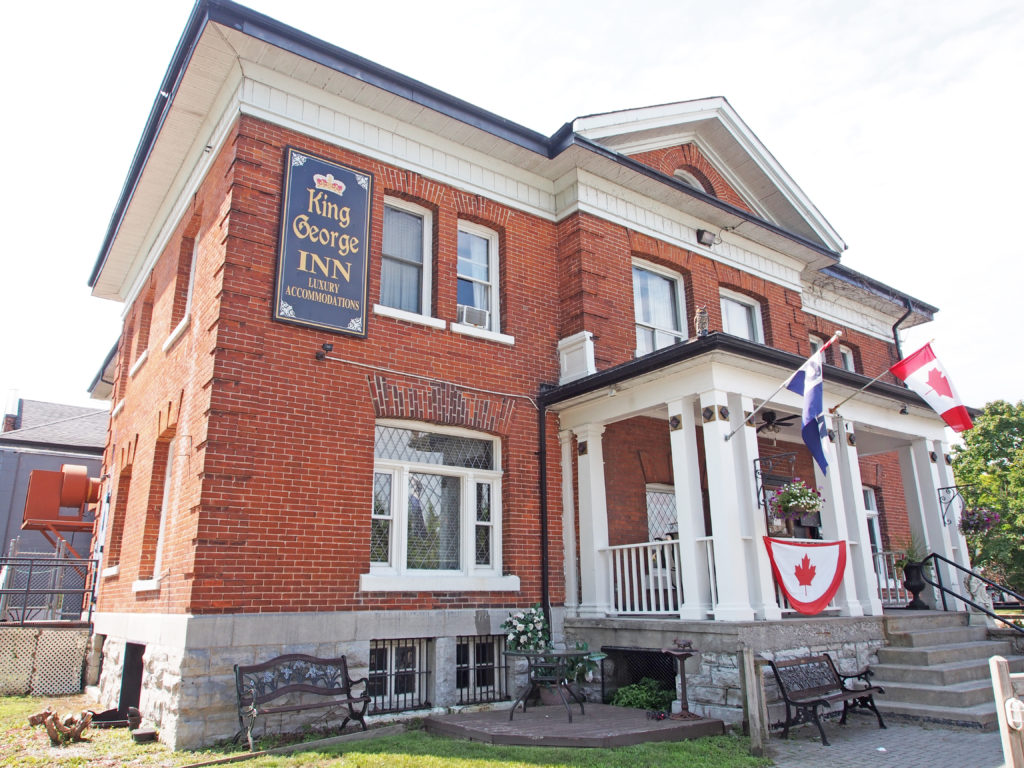

Cobourg is a town in Southern Ontario ninety-five kilometers (59 miles) east of Toronto and 62 kilometers (39 miles) east of Oshawa. It is located along Highway 401. To the south, Cobourg borders Lake Ontario.
The settlements that make up today’s Cobourg were founded by United Empire Loyalists in 1798. The Town was originally a group of smaller villages such as Amherst and Hardscrabble, which were later named Hamilton. In 1808 it became the district town for the Newcastle District. It was renamed Cobourg in 1818, in recognition of the marriage of Princess Charlotte Augusta of Wales to Prince Leopold of Saxe-Coburg-Saalfeld (who later become King of Belgium).
By the 1830s Cobourg had become a regional center, much due to its fine harbor on Lake Ontario. In 1835 the Upper Canada Academy was established in Cobourg by Egerton Ryerson and the Wesleyan Conference of Bishops. On July 1, 1837, Cobourg was officially incorporated as a town. In 1841 the Upper Canada Academy’s name was changed to Victoria College. In 1842 Victoria College was granted powers to confer degrees.
Cobourg retains its small-town atmosphere, in part due to the downtown and surrounding residential area’s status as a Heritage Conservation District. The downtown is a well-preserved example of a traditional small-town main street. Victoria Hall, the town hall completed in 1860, is a National Historic Site of Canada. The oldest building in the town is now open as the Sifton-Cook Heritage Centre and operated by the Cobourg Museum Foundation.
Food processing is the largest industry in Cobourg, and it is home to SABIC Innovative Plastics and Weetabix.
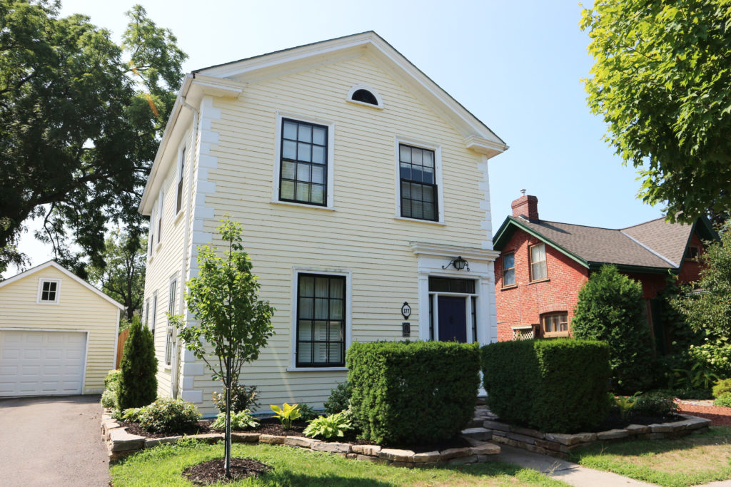
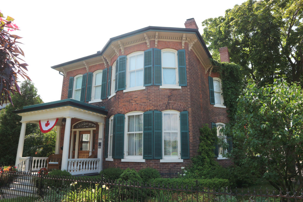
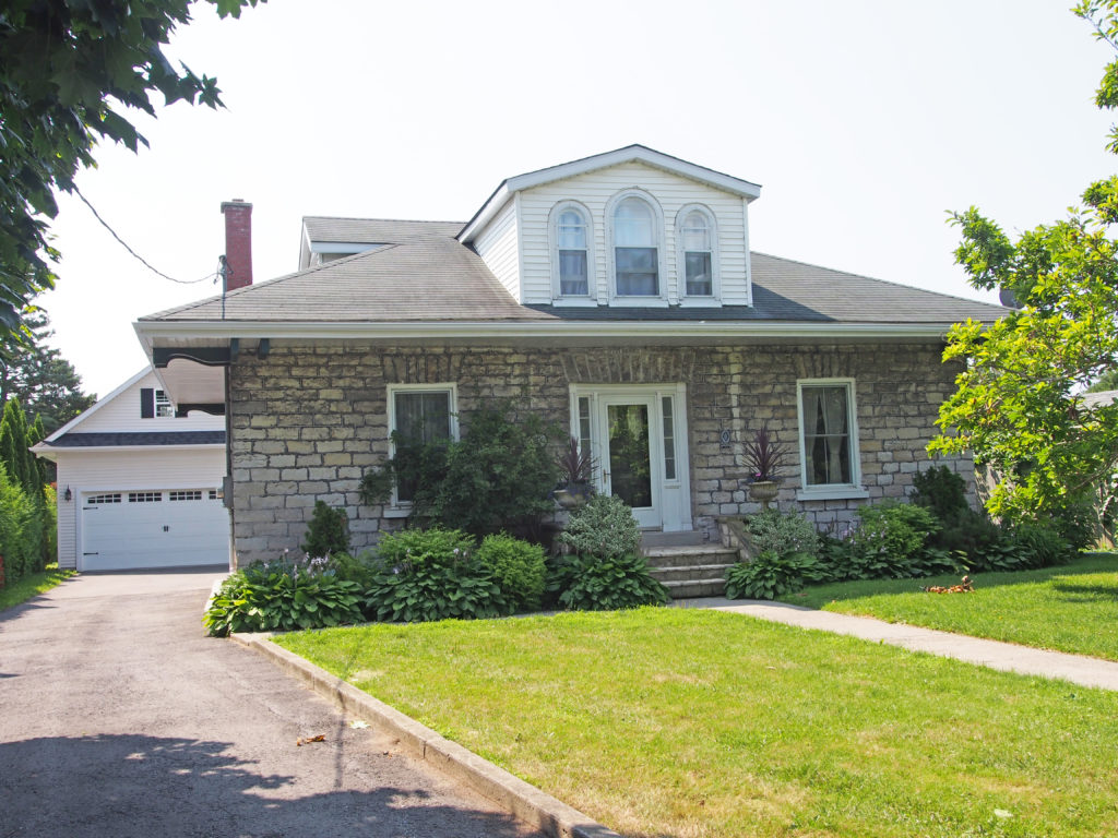
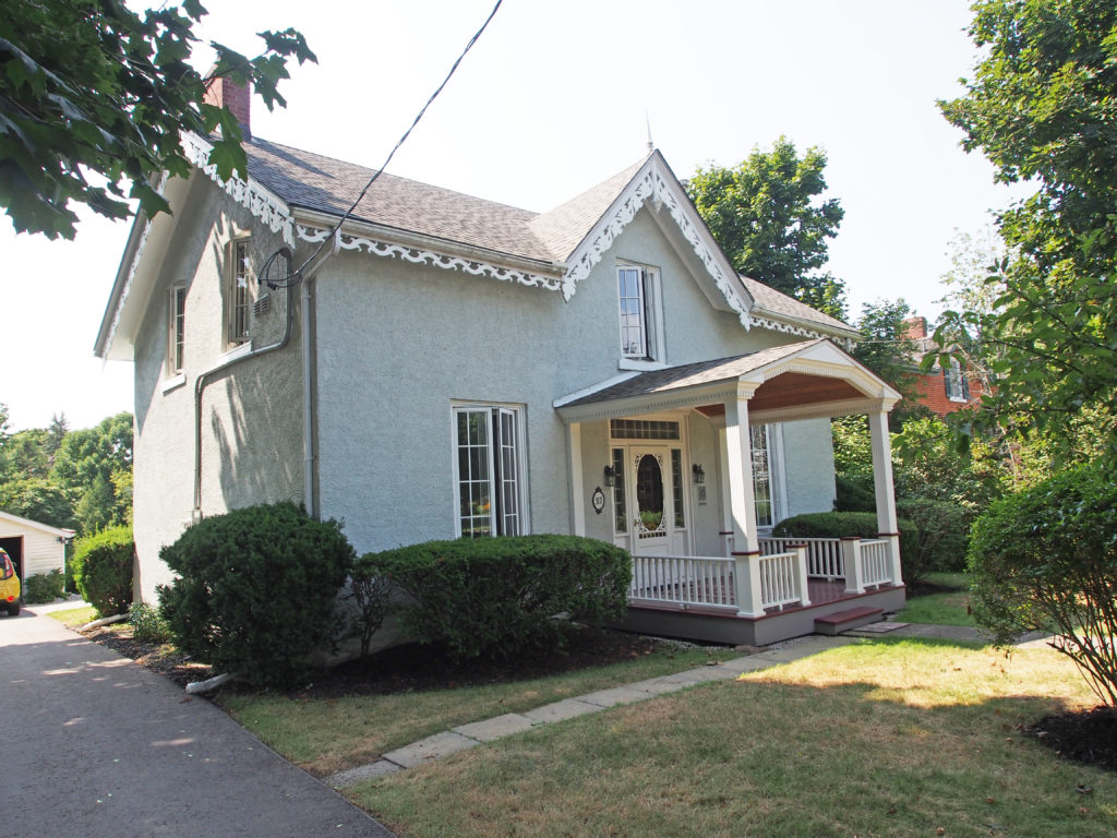
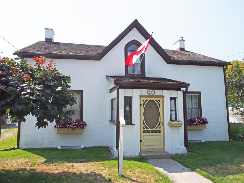
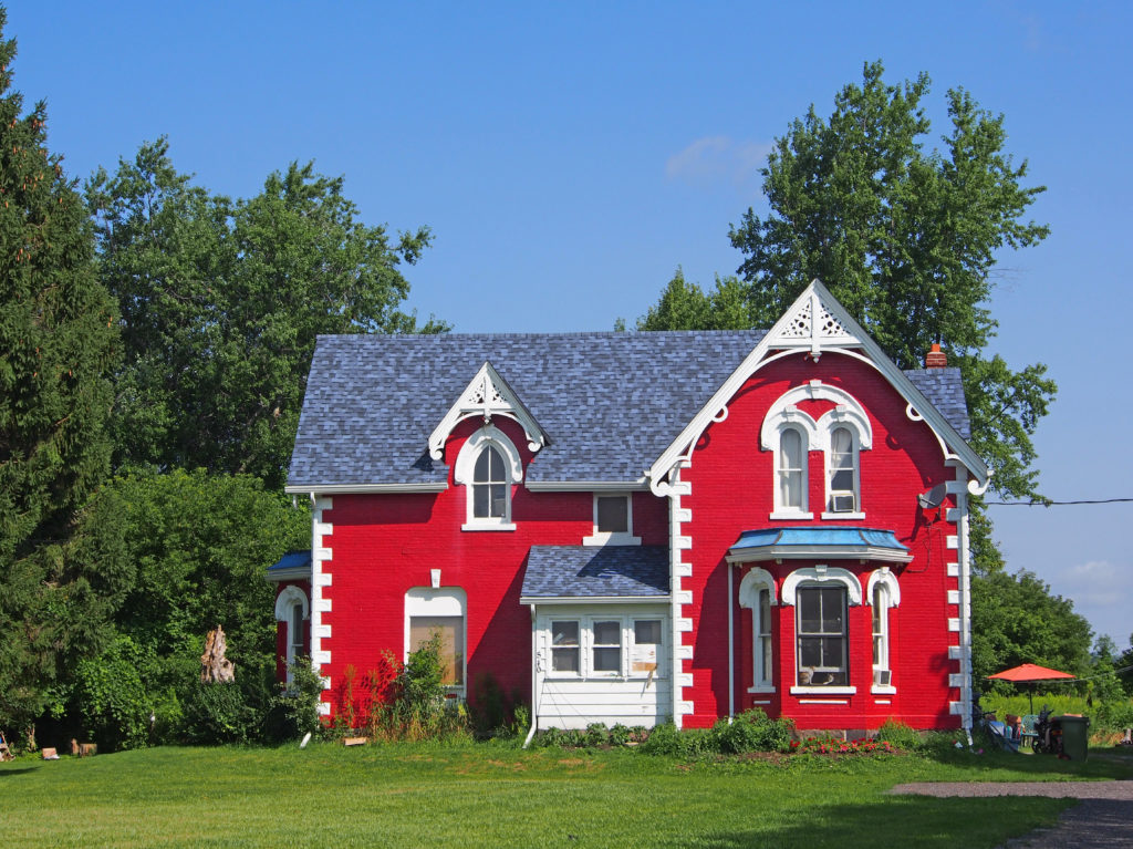
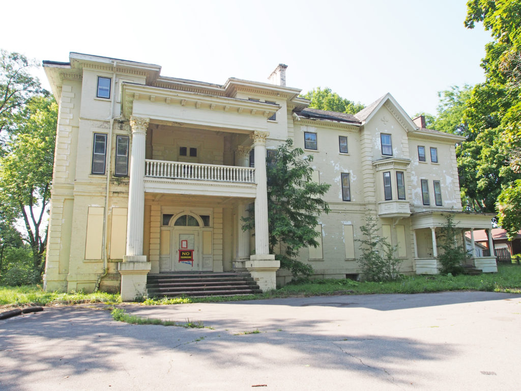
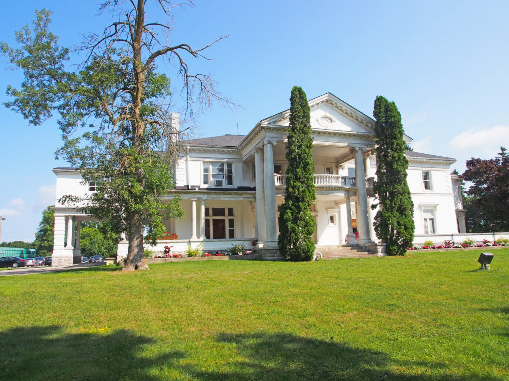
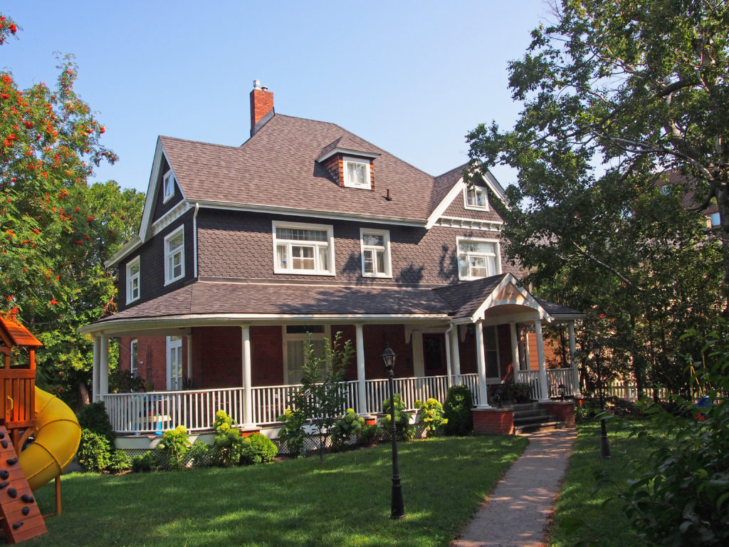
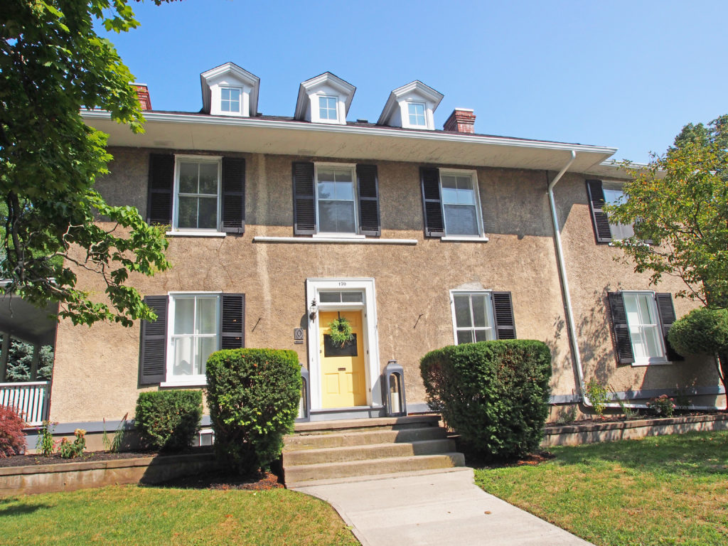
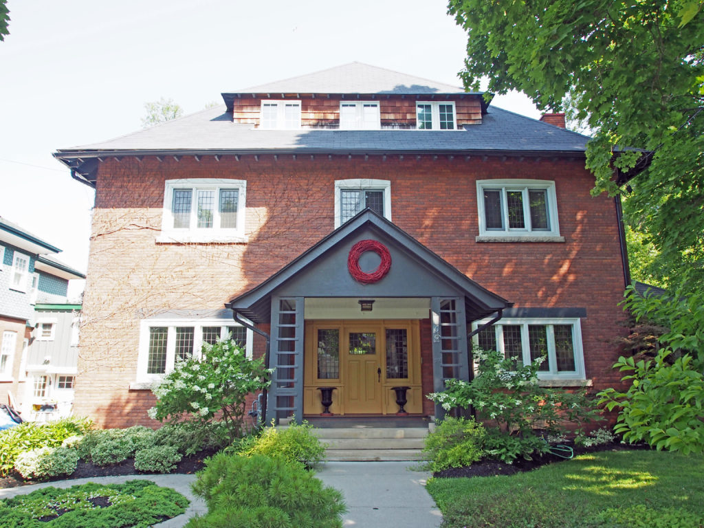
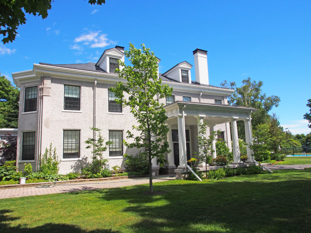
The Township of Alnwick/Haldimand is located in central Ontario in Northumberland County, situated between Lake Ontario and Rice Lake. It was formed in 2001 by the merger of Alnwick Township in the north and Haldimand Township in the south.
Alnwick Township was originally surveyed in 1795 when twenty-four lots were laid out on the first concession. It was named for Alnwick in Northumberland, England. The township’s first residents were made up of United Empire Loyalists, attracted by large unencumbered land grants, sometimes in the thousands of acres. In 1835, 3,600 acres of land along the first and second concessions were set aside as an Indian settlement. Shortly after, the Indian Band from Grape Island was moved into this settlement and a school and church were built at Alderville. The first council meeting was held in 1845 at Alderville School. The Alnwick/Haldimand Township building located in Grafton was built in 1858. Prior to its construction, Township Council meetings were held at local taverns or the residences of council members.
Haldimand Township was formed in 1791 and was named in honor of Sir Frederick Haldimand – a British general who served as Governor-in-Chief of Canada between 1778 and 1796. By 1804, there were 356 settlers in Haldimand Township making it the second most populous township in the region after Hamilton Township to the West. The town hall was constructed in 1860.
As part of provincial initiatives in the late 1990s, the Government of Ontario pursued a policy of municipal amalgamations to reduce waste and duplication. Alnwick Township and Haldimand Township became a single Township of Alnwick/Haldimand on January 1, 2001.
Alnwick/Haldimand is part of the Oak Ridges Moraine. Thirty-one square kilometers of the Cobourg Creek watershed runs through the Township. The Creek supports a diverse ecosystem including forests, meadows and wetlands. Numerous species inhabit the Creek including brown trout, rainbow trout, scuplins and darters. Migratory Chinook Salmon spawn in the creek and Atlantic Salmon are being stocked as part of a provincial initiative to return these native fish to Lake Ontario. The Ganaraska Forest is an 11,000-acre forest located in the Township. It is one of the largest blocks of forested land in southern Ontario. The Millvalley Hills Forest is a 297-hectare forest located within the Township. The dominant trees species are red and white pine, and red and white oak. The township is rural based with agriculture being the largest contributor to the economy. Grain, cash crops, milk, livestock, vineyards and apple farming are all viable in the area. Grafton is located in this township.
The first known settlers to Grafton were just before the turn of the 19th century. These earliest settlers were all from the new United States of America. Most were looking for new land and opportunities, a few were second generation United Empire Loyalists born in loyalist settlements further east.
New settlers from the British Isles started arriving twenty years later. These early Grafton settlers, as well as clearing agricultural land from the forests, produced many fine political leaders. David Rogers was the first to propose anti-slavery legislation for Upper Canada, and Henry Ruttan was the Speaker of the Legislature. Likely the hamlet was named Grafton after John Grover’s birth town of Grafton, Massachusetts. He initially arrived in Upper Canada in 1798 and was in Grafton by 1804.
Bolton is a community in the town of Caledon, located in the Region of Peel about fifty kilometers northwest of Toronto. The downtown and area that historically defined the village is in a valley, through which the Humber River flows. The town was founded around 1822 when James Bolton helped build a flour mill for his relative George Bolton. It was established on the line of the Toronto, Grey and Bruce Railway with stages to and from Weston.
In the Humber River valley, George Bolton, newly arrived from England, and his uncle, James, an area pioneer from just after the completion of the 1819 survey, built a grist mill at a bend in the river on land George had purchased from the surveyor, William Chewett. This mill became the catalyst for several other enterprises which became the seed of a hamlet. The village was strongly Reform during the Mackenzie years and James Bolton had to seek refuge in the U.S.A. after the failed rebellion of 1837. In 1842, his son James C. Bolton purchased the mill site from his uncle and built a large flour mill at the site of the current Humberlea Road, as well as a sawmill. The flour mill, in place until 1968, prospered under several prominent mill owners following Bolton including John Guardhouse and Andrew McFall, both of whose homes still survive along King Street East. The village continued to expand driven by water-powered industries such as William Dick’s Agricultural Works.
While most evidence of the original mills and other industries have disappeared, the nineteenth century residential fabric remain largely intact and enough survives of the late nineteenth commercial core to maintain the sense of the historic village. As it now stands, the area is characterized by the polychromatic brickwork of the second half of the 19th century in local brick with many of the finer homes incorporating a gabled ‘L’ plan with a veranda at the inside corner.
Sandhill Ontario is about 9 miles east of Caledon.
Abraham Campbell’s father and six brothers took up one thousand acres in Chingacousy about 1820, after having journeyed from the old family home in Lincoln County by an ox-team. From Cooksville to their locations, the way led over a road made through the bush with their own axes. Mr. Campbell spent his life on the farm on which he was born when Chingacousy was the farthest settlement north of the lake. A quarter of a century later Campbell’s Cross, on the highway connecting north and south, was a scene of bustling life. There was a tavern there with eighteen rooms. There were three stores in the village at that time. As many as one hundred teams from the North Country would arrive with grain in a single day. Part of the grain was bought by local merchants and teamed by them to Port Credit for shipment by water. Some of the farmers hauled their own grain all the way to the lake port.
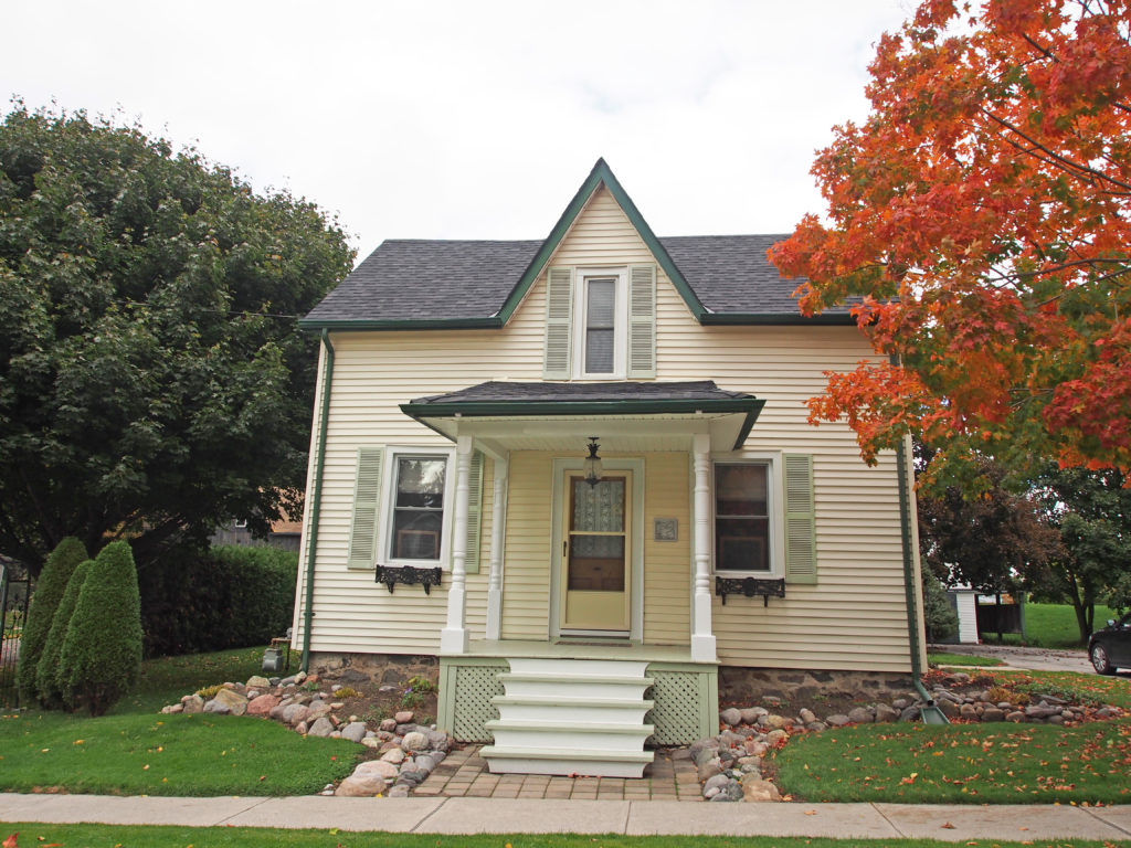
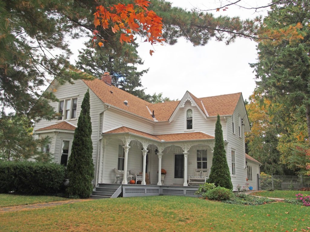
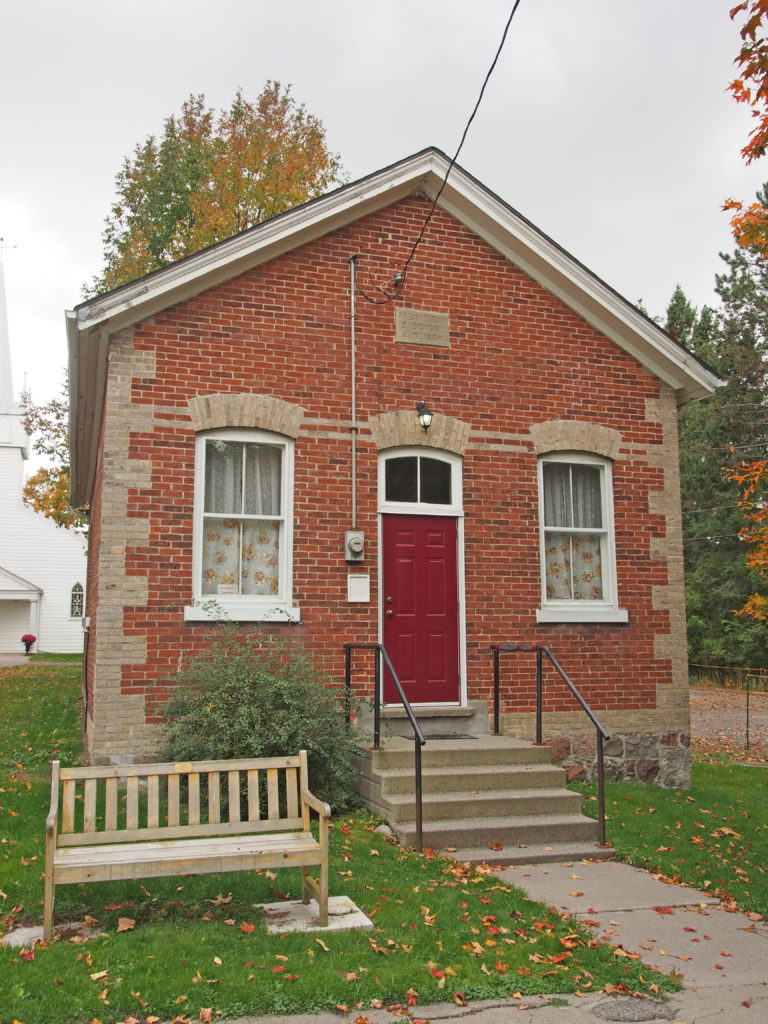
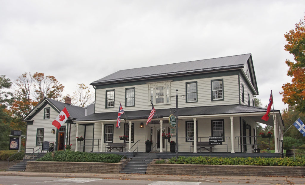
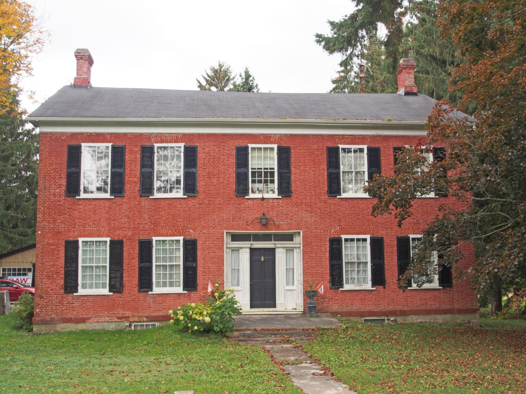
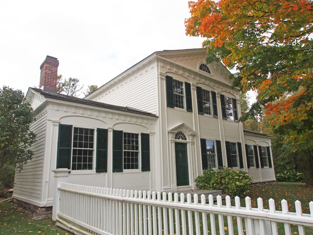
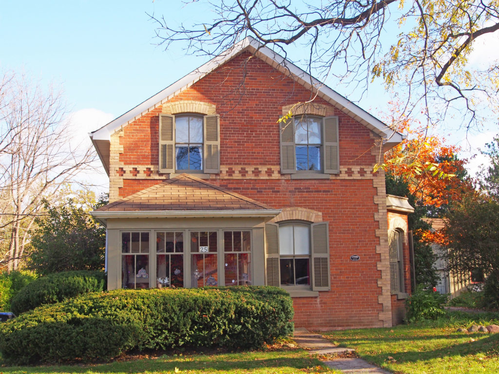
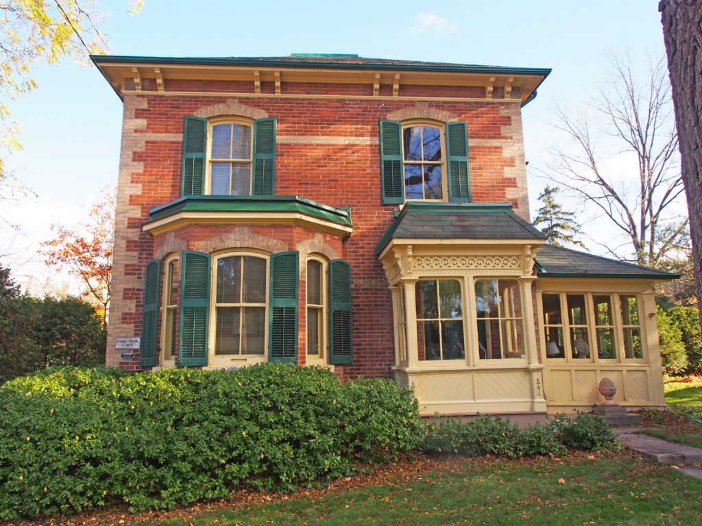
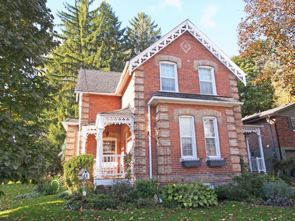


Cramahe Township was established in 1792. Joseph Abbott Keeler, son of the first settler of Cramahe Township, founded the village of Colborne in 1815 when he opened the first store and post office. He had the village surveyed, laid out the public square and donated the land.
Joseph Keeler (1770-1839) was the first settler who landed on the shores of Cramahe Township with forty United Empire Loyalist families from Rutland, Vermont. Keeler, his son Joseph Abbott Keeler (1788-1855) and his grandson Joseph Keeler (1824-1881) were instrumental in establishing the settlements at Lakeport, Colborne and Castleton.
A store established in Colborne in about 1819 by Joseph Keeler provided the nucleus around which a small community began to develop. Within ten years, a distillery and a blacksmith’s shop had been erected. Colborne was named after Lieutenant Governor Sir John Colborne. With the establishment of a harbor nearby for the shipment of lumber and grain, Colborne prospered. By 1846, it contained a foundry, a pottery, six stores, three churches, tradesmen and artisans, and about four hundred residents. The arrival of the Grand Trunk Railway in 1856, spurred further growth.
In 2001, Colborne and Cramahe Township were amalgamated as part of municipal restructuring to form an expanded Township of Cramahe.
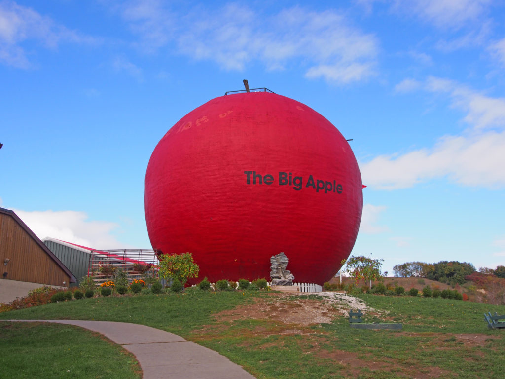
Colborne is the home of the Big Apple, a tourist attraction located along Highway 401. The Big Apple is 10.7 meters (35 feet) tall and has a diameter of 11.6 meters (38 feet) – the largest apple in the world. There is an observation deck on top of the apple, and adjacent to it is a restaurant and a store to buy all your apple treats.
King City is the largest community in King Township in York Region north of Toronto. In 1836, a settlement styled Springhill was established in King. With the arrival of the Ontario, Simcoe and Huron Railway in 1853, the settlement began to expand. In 1890, the reeve of King Township James Whiting Crossley incorporated King City by merging the hamlets of Springhill, Kinghorn, Laskay, and Eversley. King City is characterized by rolling hills and clustered temperate forests. Many lakes and ponds dot the area. Creeks and streams from King City, the surrounding area, and as far west as Bolton and as far east as Stouffville are the origin for the East Humber River.
The King Township Museum in King City is a local history museum for the township of King at 2920 King Road. The museum consists of a building which houses the majority of collections held. This building was originally built in 1861 as the site of the Kinghorn School SS #23. It was updated and expanded in 1958 and again in 1963, and purchased by the township in 1978. The King Township Historical Society established the museum in 1979 and opened it in 1982.
The village of Nobleton is located in southwestern King Township and is surrounded by hills and forests. It was named after Joseph Noble and began as a settlement in about 1812. Most of the early settlers came from England, Scotland and Ireland. There are many horse farms here. The Humber River flows through the town. Nobleton was first settled in 1812, primarily based on its location midway between King City and Bolton on the east–west route, and Kleinburg and Schomberg on the north–south route. Taverns and hotels were built to serve travelers, and general stores and a post office were built to serve the fledgling businesses.
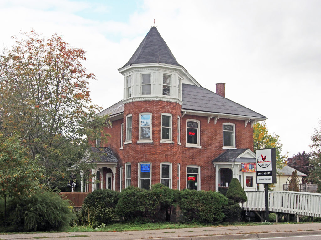
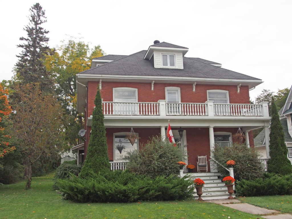
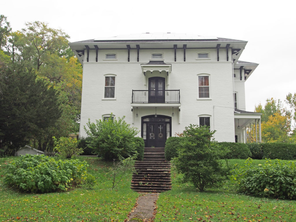
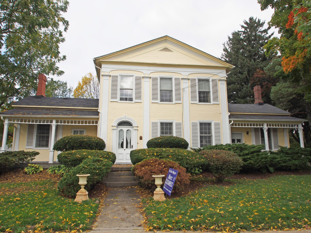
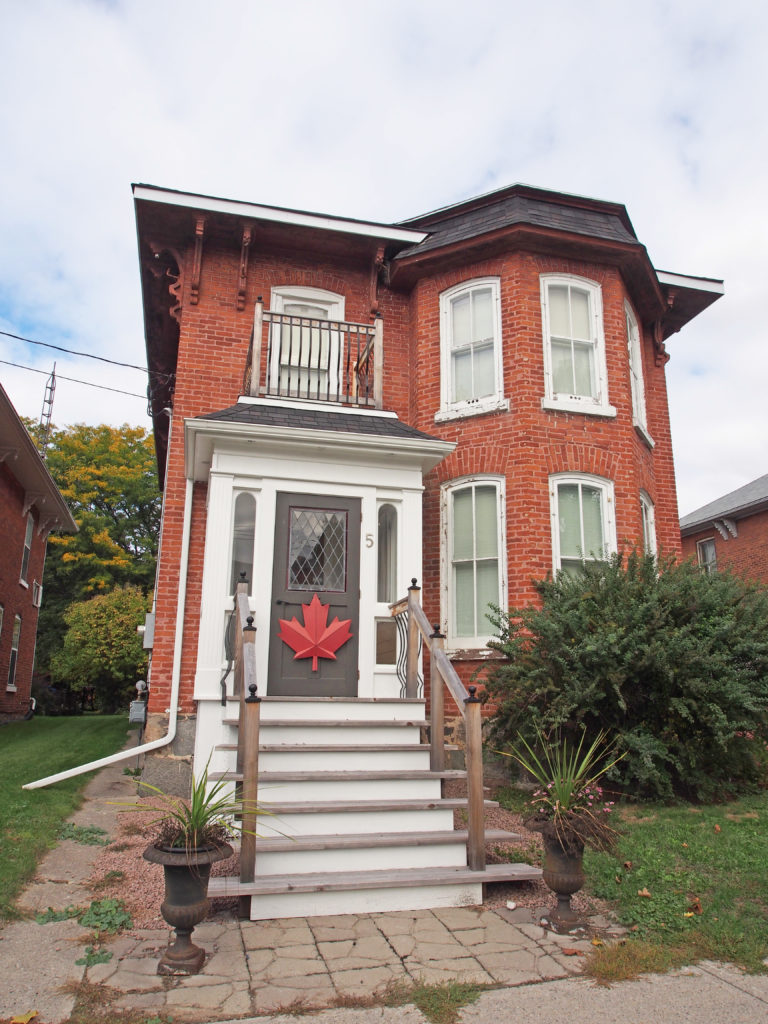
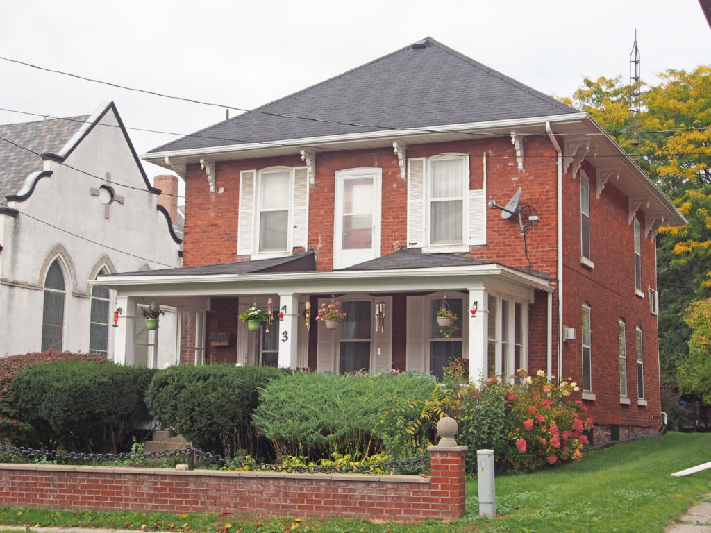
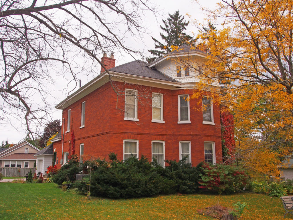
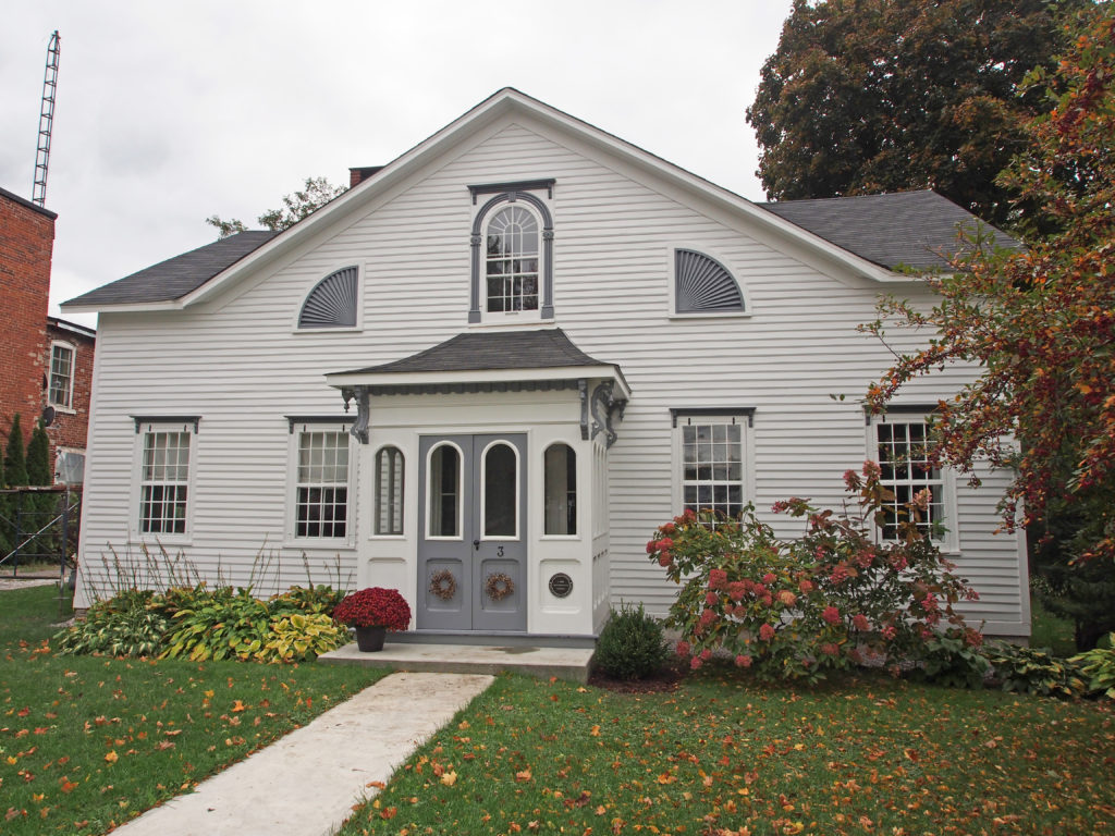
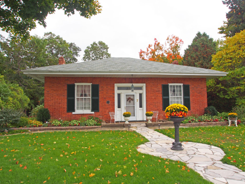
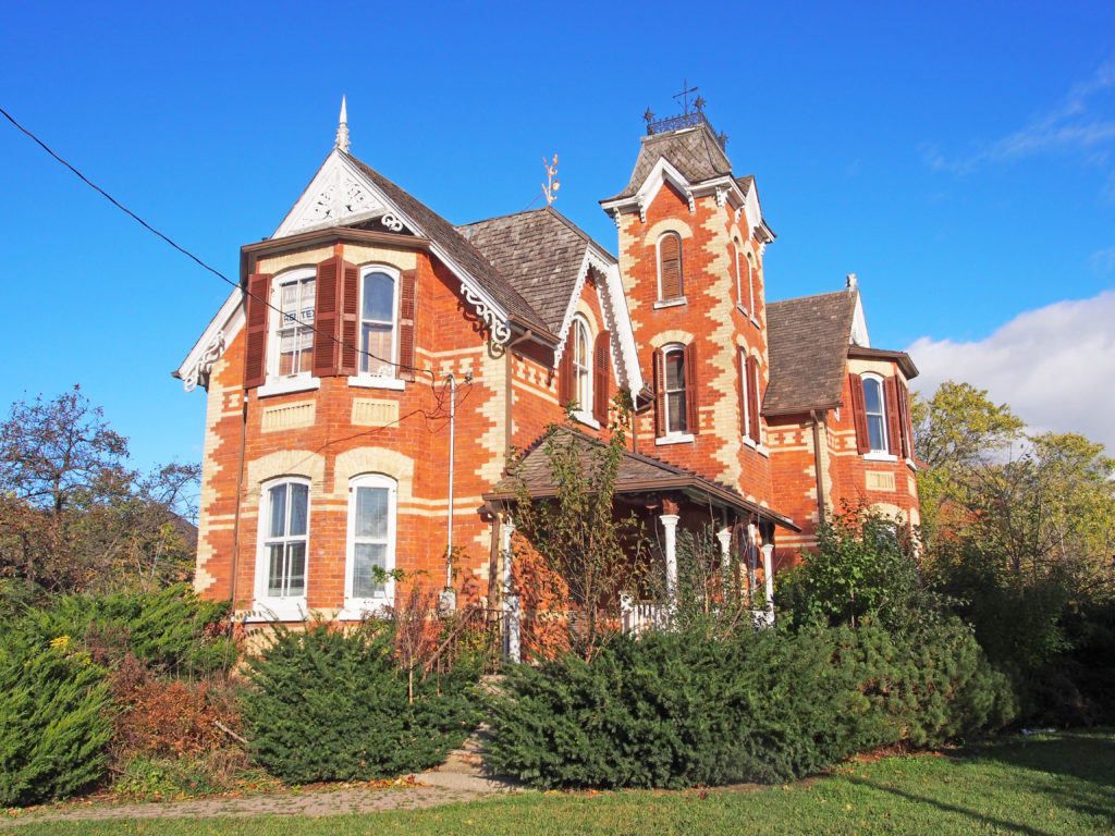
On January 1, 1971, the Village of Stouffville amalgamated with Whitchurch Township and was designated a community within the larger town of Whitchurch–Stouffville, a municipality in the Greater Toronto Area, about fifty kilometers north of downtown Toronto. It is more than two hundred and six square kilometers in size, and located in the mid-eastern area of the Regional Municipality of York on the ecologically-sensitive Oak Ridges Moraine and the Rouge River watershed. Its motto since 1993 is “country close to the city”.
Stouffville is the primary urban area within the town of Whitchurch–Stouffville. It is centered at the intersection of Main Street, Mill Street and Market Street. Stouffville was founded in 1804 by Abraham Stouffer who built a sawmill and grist-mill on the banks of Duffin’s Creek in the 1820s.
Urban Stouffville stretches from the York-Durham Line to Highway 48 and is about 2.7 kilometers wide with development north and south of Main Street. Stouffville is bounded by farmland and a golf course. Uxbridge lies to the east.
Stouffville Station was built in 1871 by Toronto and Nipissing Railway connecting Stouffville and Uxbridge with Toronto. The line’s north-eastern terminus at Coboconk, Ontario on Balsam Lake in the Kawarthas was completed in 1872. In 1877, a second track was built from Stouffville north to Jackson’s Point on Lake Simcoe. These connections were to provide a reliable and efficient means of transporting timber harvested and milled in these regions. Stouffville Junction serviced thirty trains per day. The railway became the Grand Trunk Railway in 1884, and Canadian National Railways took over the line in 1914. Stouffville Station was demolished in 1980s and replaced by current GO station.
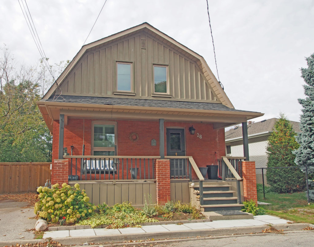
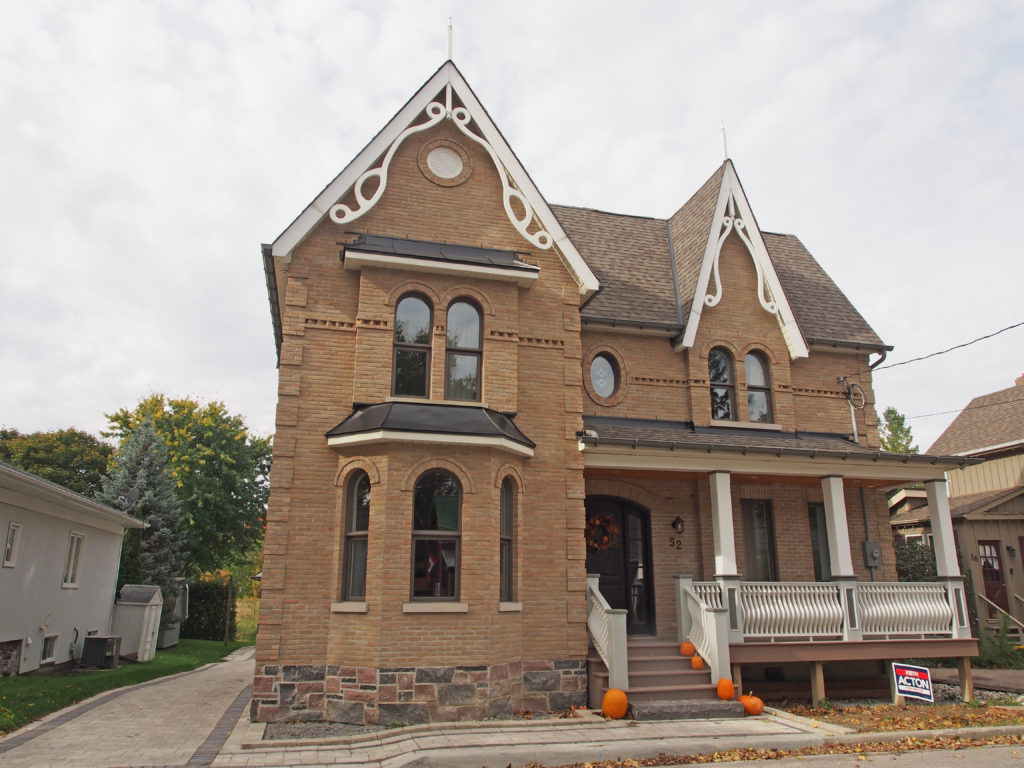
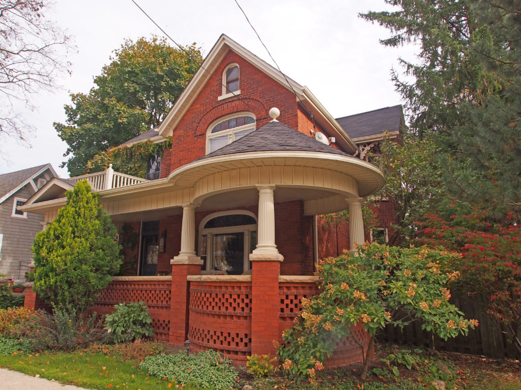

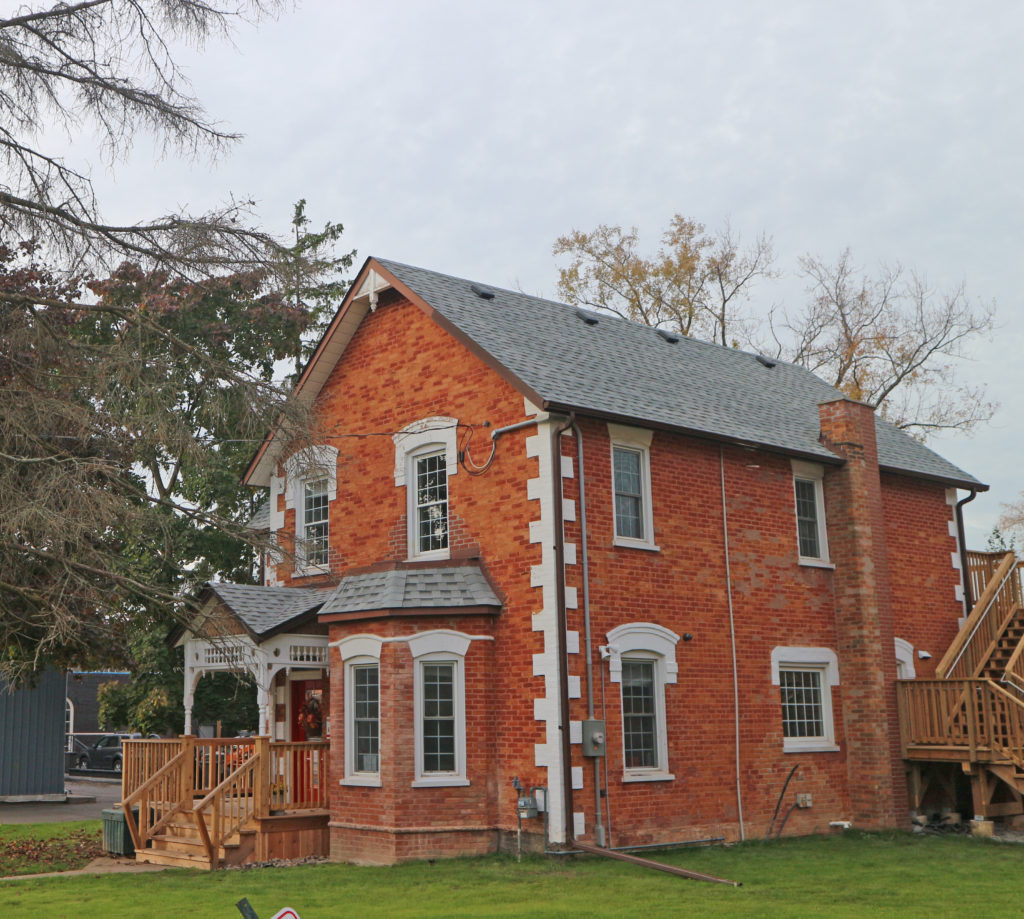
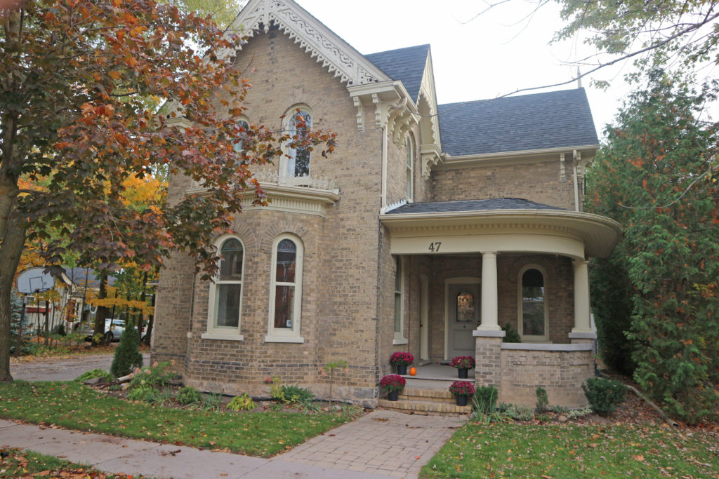
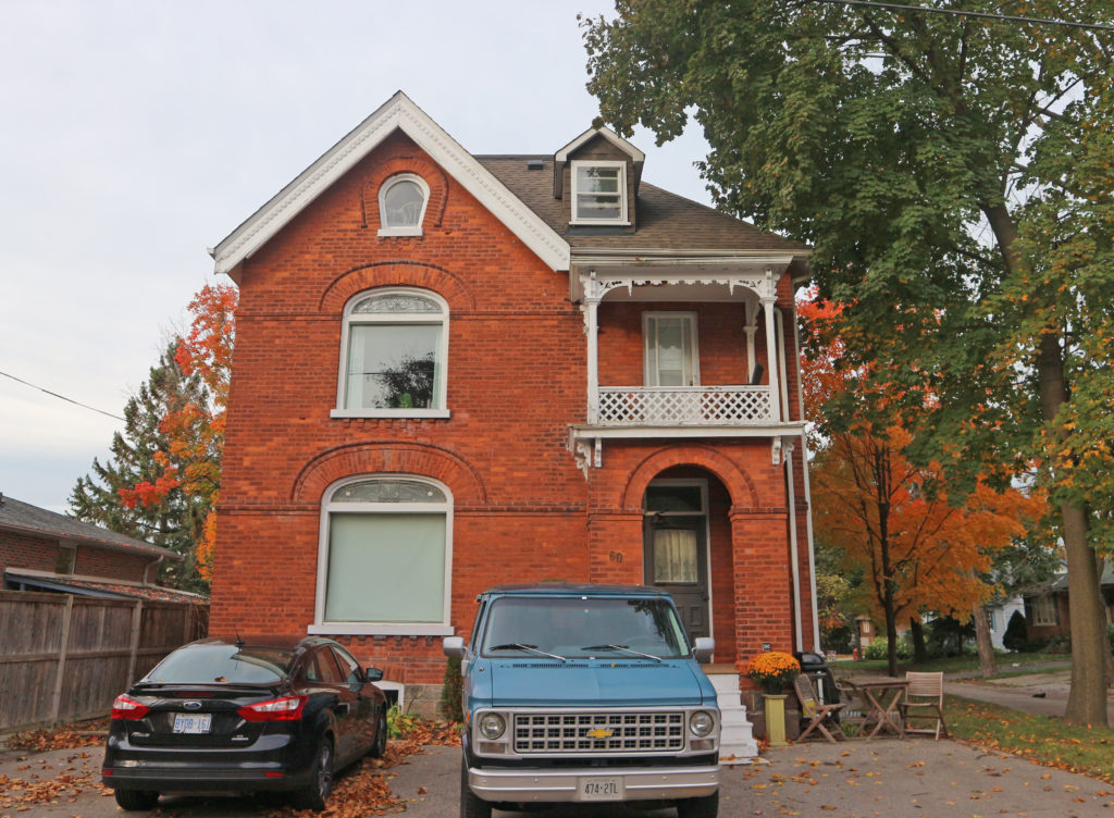

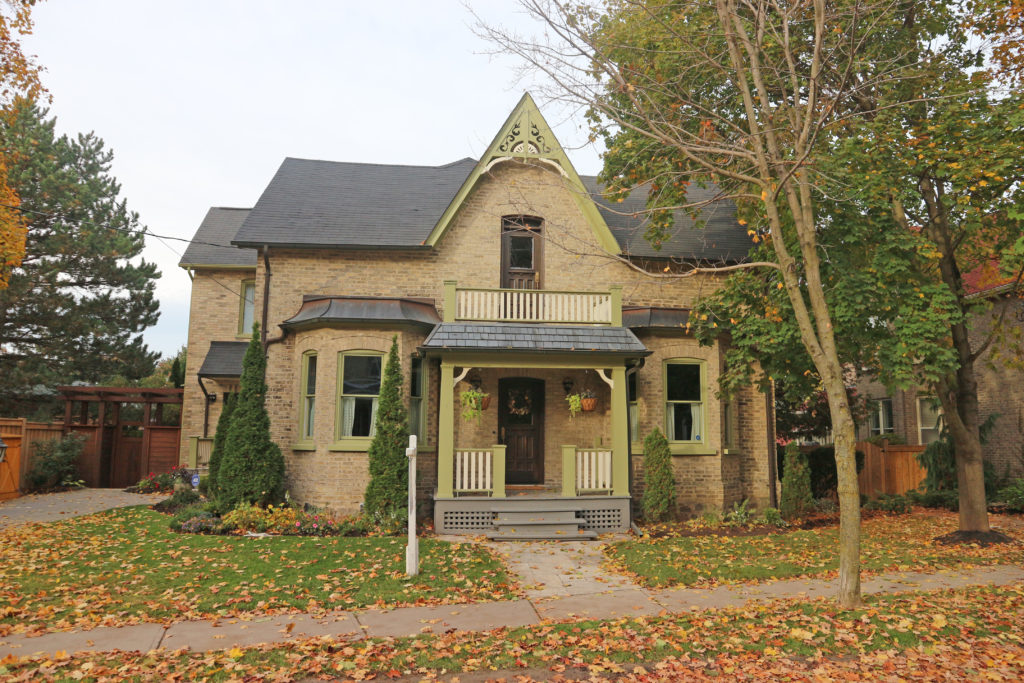
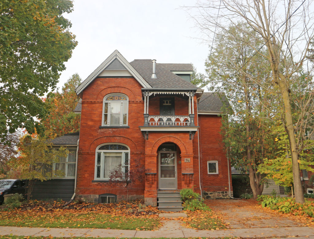
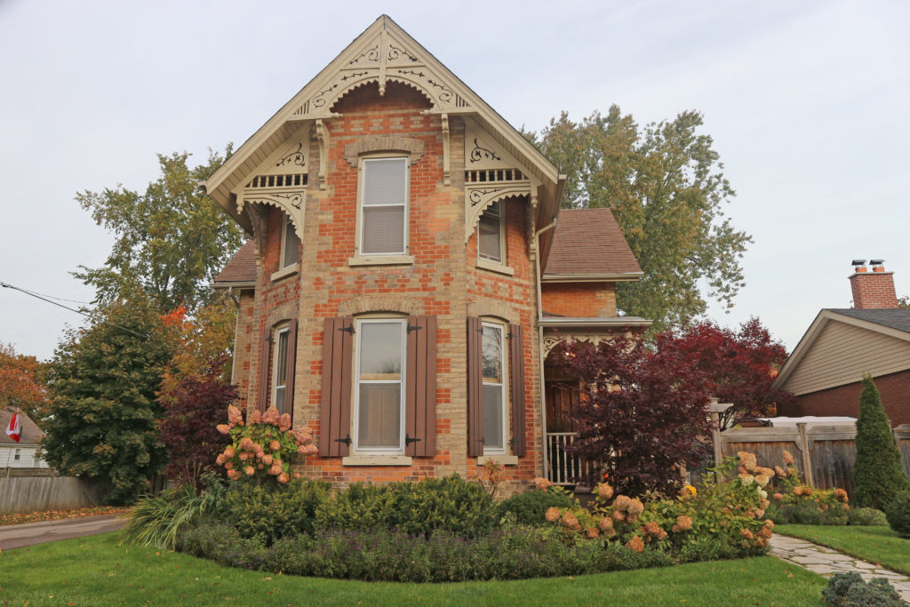
Stouffville is the primary urban area within the town of Whitchurch–Stouffville. It is centered at the intersection of Main Street, Mill Street and Market Street.
In 1805-06 Abraham Stouffer (1780-1851), a Pennsylvania Mennonite, bought four hundred acres of land in the area and built a saw and grist mill on Duffin’s Creek and a settlement grew up around it. In 1832 a post office named Stouffville was established. By 1864, with a population of about seven hundred, there were several prosperous industries including carriage works, harness works, and the mills of Edward Wheler, a prominent merchant. The construction of the Toronto and Nipissing Railway was completed in 1871 and growing agricultural prosperity stimulated the community’s growth.
A large number of the early settlers of present-day Whitchurch-Stouffville were members of the Historic Peace Churches: Brethren in Christ (Tunkers), Mennonites, and Quakers. They were attracted to settle in Upper Canada by Lieutenant Governor John Graves Simcoe with the offer of military exemption (1793). The peace teachings of the Christian tradition greatly shaped their faith and caused them to wrestle with what it means to be people of God’s peace, especially during times of conflict and war. As pioneers of conscientious objection in Canada, their commitment to the work of peace and reconciliation continues to stand witness in this community and around the world.
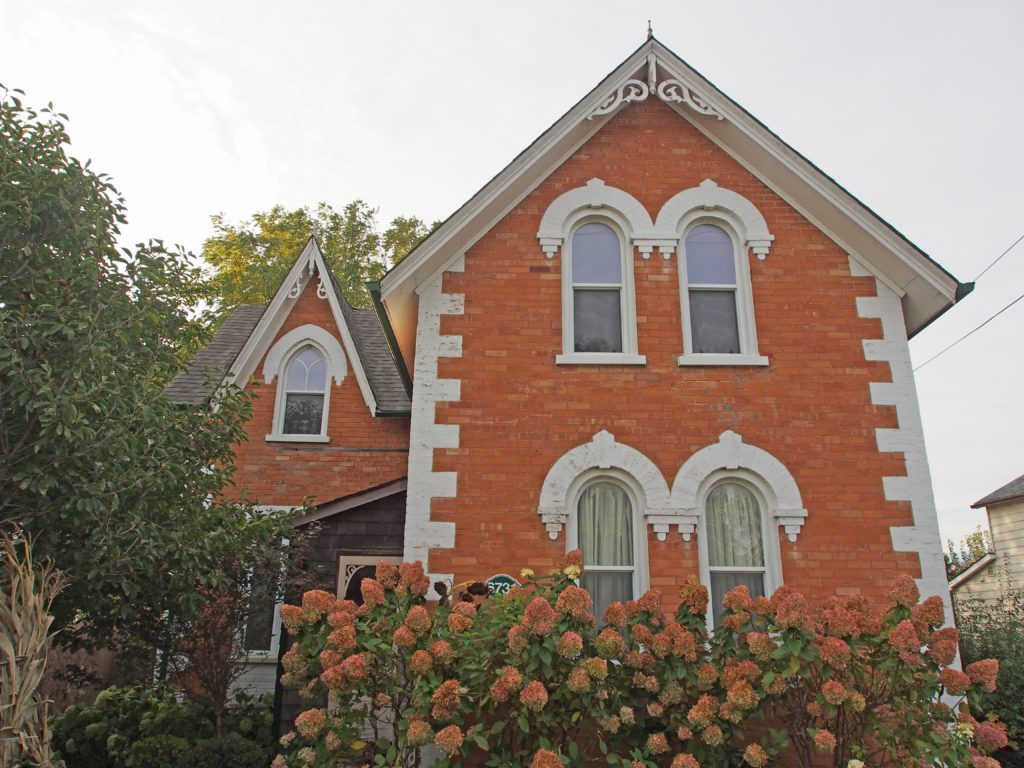

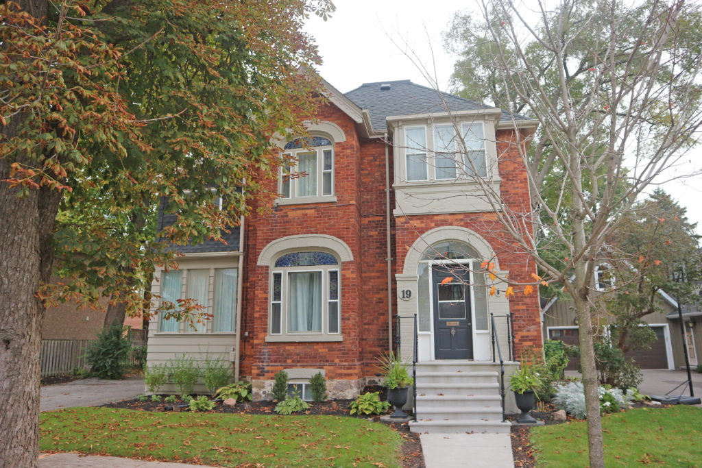
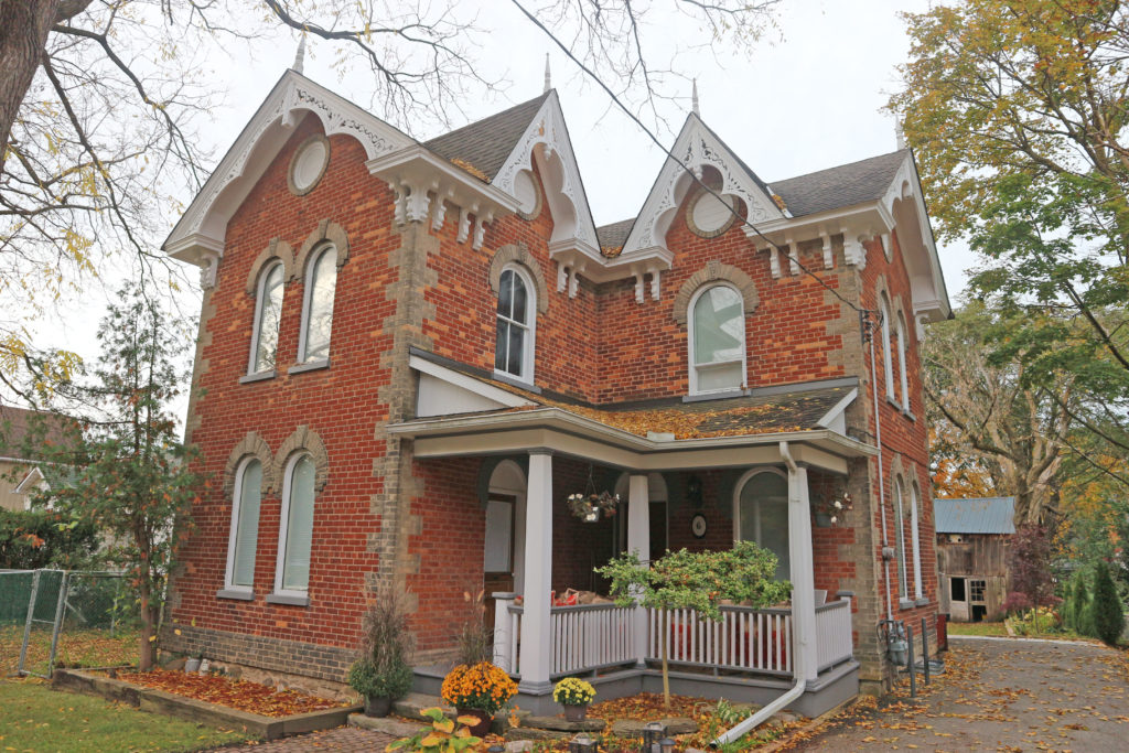
Parry Sound is a located in northern Ontario on the eastern shore of Parry Sound. It is 160 kilometers (99 miles) south of Sudbury and 225 kilometers (140 miles) north of Toronto. It is a popular cottage country region. It has the world’s deepest natural freshwater port.
Muskoka District was named after an Indian Chief, probably Misquuckkey of the Chippawas, who until the treaty of 1815 was lord of this Venetian district of Ontario. While the heavy pine and hardwood forests were still in their primeval beauty, many people including Government agents considered the country was fit for settlement. In 1859 the first land grants were made.
About 1857 James and William Gibson erected a sawmill at the mouth of the Seguin River. William Beatty, with his sons James and William, acquired the mill in 1863, and the following year were granted a license of occupation for two thousand acres. In addition to lumbering, they laid out a town plot, promoted settlement, opened a store, built a church, constructed roads, and operated boats on Lake Huron and a stage service to Bracebridge. William “Governor†Beatty (1835-1898) lived here and managed the family’s enterprises which stimulated the growth of Parry Sound. Incorporated as a town in 1887, it was named in honor of Sir William Edward Parry, noted Arctic explorer.
During the early part of the 20th century, the area was a popular subject for the many scenic art works of Tom Thomson and members of the Group of Seven.
The eastern coast of Georgian Bay where Parry Sound is located is known as the “30,000 Islands†and is considered the world’s largest freshwater archipelago. It covers 347,000 hectares of shoreline ecosystem, and over 100 species of animals and plants that are at risk in Canada and Ontario, including unique reptiles and amphibians.
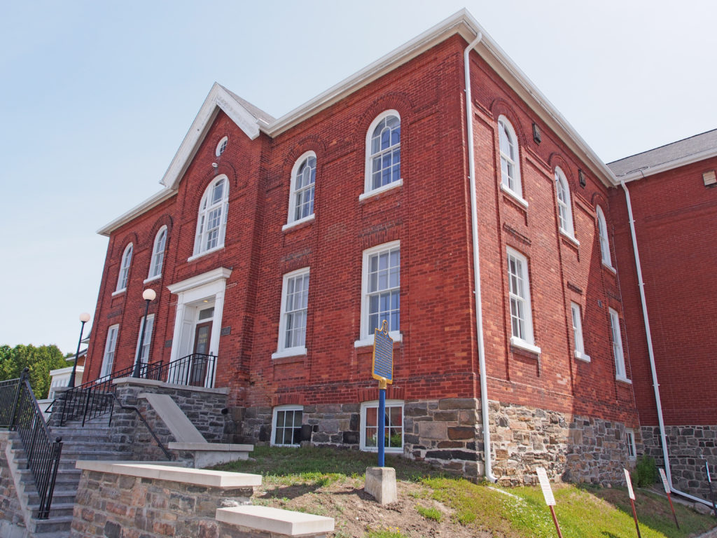
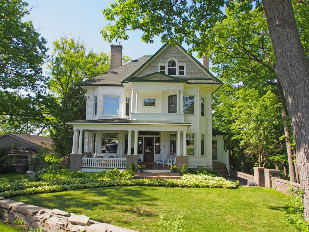
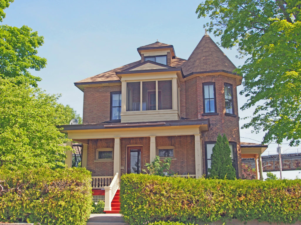
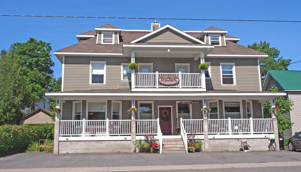
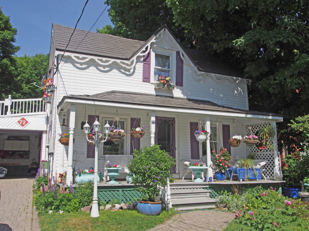
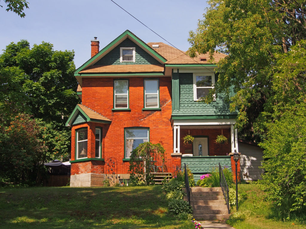

North Bay is a city in Northeastern Ontario about 330 kilometers (210 miles) north of Toronto. It differs in geography from Southern Ontario because North Bay is situated on the Canadian Shield which results in a more rugged landscape. North Bay straddles both the Ottawa River watershed to the east and the Great Lakes Basin to the west. The city’s urban core is located between Lake Nipissing and the smaller Trout Lake.
In 1882, John Ferguson decided that the north bay of Lake Nipissing was a promising spot for settlement. Apart from Indigenous people, voyageurs and surveyors, there was little activity in the Lake Nipissing area until the arrival of the Canadian Pacific Railway (CPR) in 1882. North Bay was selected as the southern terminus of the Temiskaming and Northern Ontario Railway (T&NO) in 1902 when the Ross government took the bold move to establish a development road to serve the Haileybury settlement. During construction of the T&NO, silver was discovered at Cobalt and started a mining frenzy in the northern part of the province that continued for many years. The Canadian Northern Railway was built to North Bay in 1913.
North Bay grew through a strong lumbering sector, mining and the three railways in the early days.
Born in France about 1598, Jean Nicolet, explorer, fur trader, and interpreter came to Canada in 1618. Under orders from Samuel de Champlain, he spent the following two years with the Algonquins of Allumette Island. He was then sent to the Nipissing Indians of this area and dwelt among them for at least eight years, learning their language, adopting their customs, and strengthening their alliance with the French. Nicolet is credited with the discovery of Lake Michigan which he explored as far south as the head of Green Bay in 1634. He later settled in Trois Rivieres. He drowned in the St. Lawrence in 1642.
The rivers and lakes of northern Ontario have been highways for travel and commerce for hundreds of years. First nations and European explorers used Lake Nipissing for transporting their furs. When the railroad reached the area in the 1880s, settlers and timber were transported across the lake.
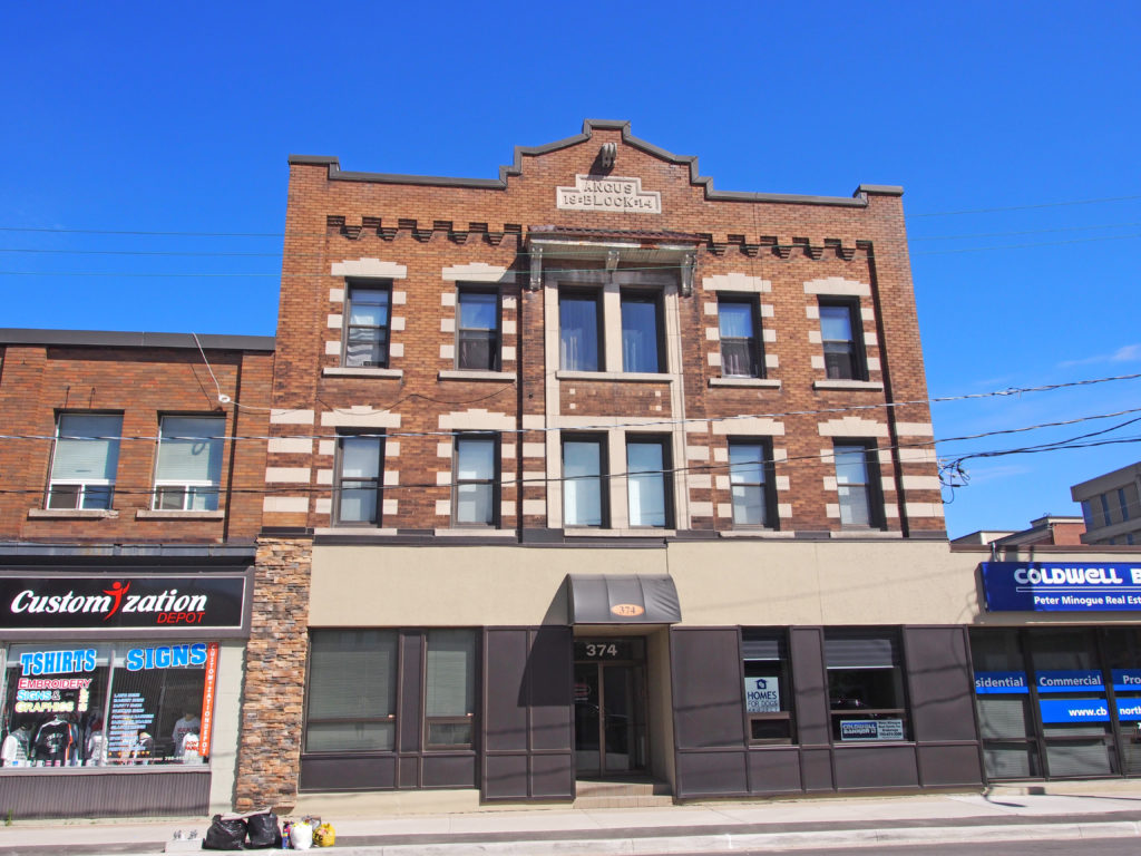
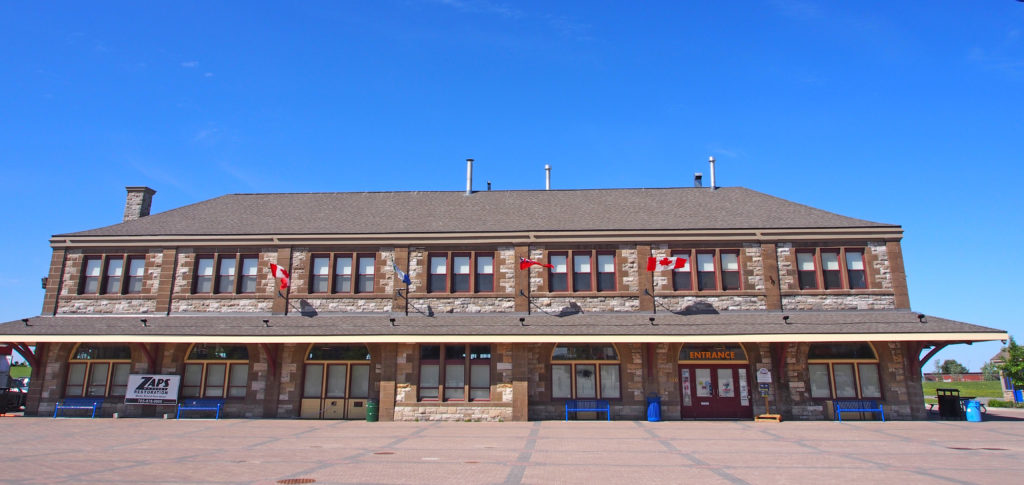
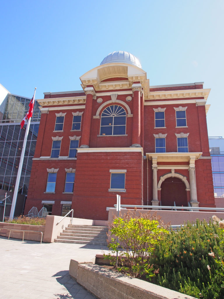

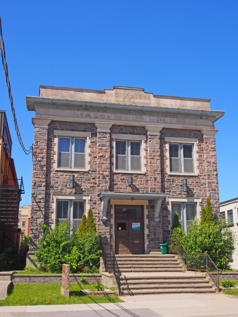
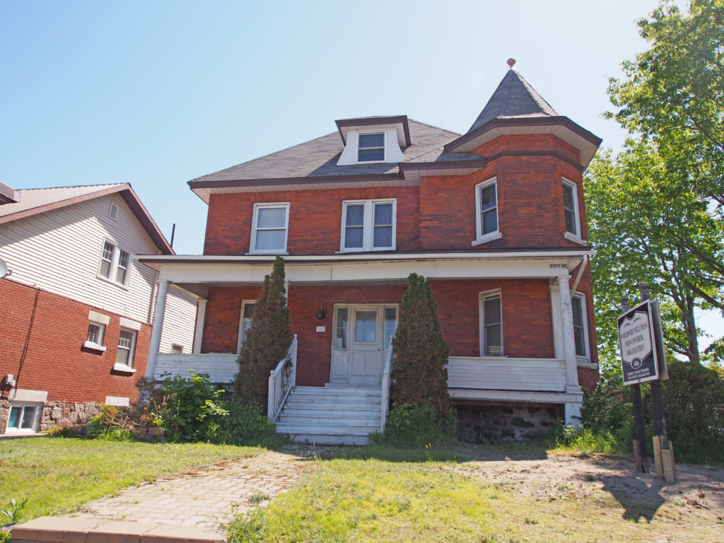

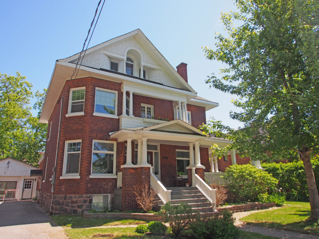
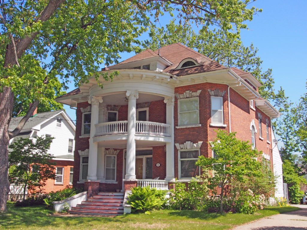
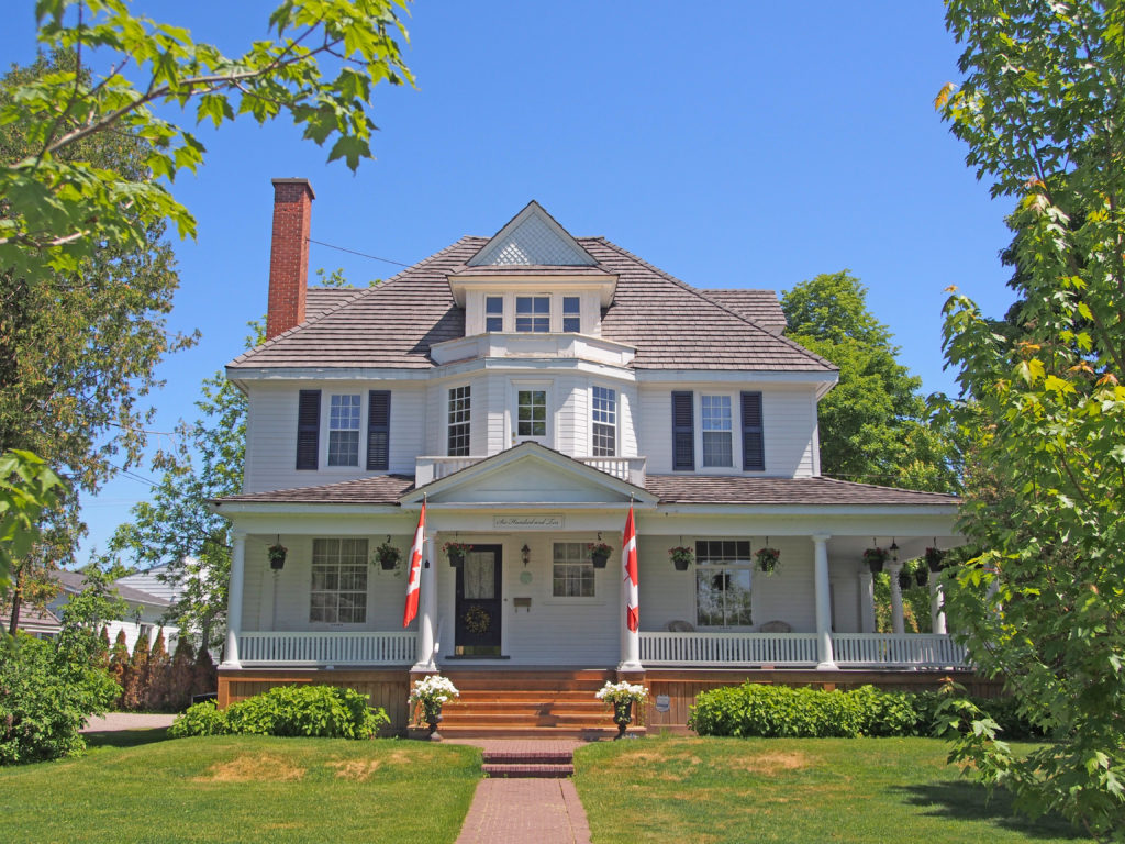
Greater Sudbury is the largest city in Northern Ontario. Sudbury was founded in 1883 following the discovery of nickel ore during the construction of the transcontinental railway. The people live in an urban core and many smaller communities scattered around three hundred lakes and among hills of rock blackened by smelting activity. Mining and related industries dominated the economy for much of the twentieth century. The two major mining companies which shaped the history of Sudbury were Inco, now Vale Limited, which employed more than 25% of the population by the 1970s, and Falconbridge, now Glencore. Sudbury has since expanded from its resource-based economy to emerge as the major retail, economic, health and educational centre for North-eastern Ontario.
The city recovered from the Great Depression much more quickly than almost any other city in North America due to increased demand for nickel in the 1930s. Sudbury was the fastest-growing city and one of the wealthiest cities in Canada for most of the decade. Many of the city’s social problems in the Great Depression era were caused by the difficulty in keeping up with all of the new infrastructure demands created by rapid growth. Employed mine workers sometimes ended up living in boarding houses or makeshift shanty towns because demand for new housing was rising faster than supply.
The open coke beds used in the early to mid-twentieth century and logging for fuel resulted in almost a total loss of native vegetation in the area. Consequently, the terrain was made up of exposed rocky outcrops permanently stained charcoal black, first by the air pollution from the roasting yards. Acid rain added more staining, in a layer that penetrates up to three inches into the once pink-grey granite.
The construction of the Inco Super stack in 1972 dispersed sulfuric acid through the air over a much wider area, reducing the acidity of local precipitation. This enabled the city to begin an environmental recovery program. In the late 1970s, private and public interests combined to establish a “regreening” effort. Lime was spread over the charred soil by hand and by aircraft. Seeds of wild grasses and other vegetation were also spread. More than nine million new trees have been planted in the city.
Sudbury’s pentlandite, pyrite and pyrrhotite ores contain profitable amounts of many elements—primarily nickel and copper, but also platinum, palladium and other valuable metals.
There are many details and pictures about rocks and their formation in the book on Sudbury.

